Burnt Plantation
Wood, Forest in Yorkshire Harrogate
England
Burnt Plantation

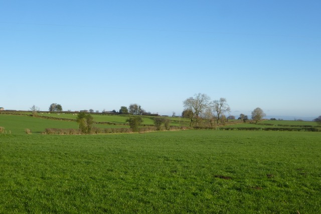
Burnt Plantation is a picturesque woodland located in Yorkshire, England. Nestled in the heart of the county, this woodland is renowned for its natural beauty and rich history.
Covering an expansive area, Burnt Plantation is dominated by a mix of mature oak, beech, and birch trees, creating a diverse and vibrant ecosystem. The forest floor is carpeted with lush ferns, bluebells, and wildflowers, adding to the enchanting ambiance of the woodland. It is not uncommon to spot various species of birds, including woodpeckers and owls, as well as small mammals like squirrels and rabbits.
The name "Burnt Plantation" is believed to have originated from a historical event where a fire swept through the area, leaving behind charred tree trunks that can still be seen today. This event has not only added to the appeal of the woodland but also serves as a reminder of the ever-changing nature of the environment.
The woodland is a popular destination for nature enthusiasts, hikers, and photographers. There are well-maintained walking trails that wind through the forest, providing visitors with scenic views and opportunities to connect with nature. The tranquility and serenity of the woodland make it an ideal place for relaxation and introspection.
Located in close proximity to the town of Yorkshire, Burnt Plantation offers easy access to amenities and services. The woodland also plays a vital role in local conservation efforts, with ongoing programs to protect and preserve the natural habitat and wildlife.
In summary, Burnt Plantation is a captivating woodland in Yorkshire, boasting an array of flora and fauna. Its breathtaking beauty, coupled with its historical significance, make it a cherished natural gem of the region.
If you have any feedback on the listing, please let us know in the comments section below.
Burnt Plantation Images
Images are sourced within 2km of 54.087928/-1.6477571 or Grid Reference SE2365. Thanks to Geograph Open Source API. All images are credited.


Burnt Plantation is located at Grid Ref: SE2365 (Lat: 54.087928, Lng: -1.6477571)
Division: West Riding
Administrative County: North Yorkshire
District: Harrogate
Police Authority: North Yorkshire
What 3 Words
///toddler.greeting.centrally. Near Pateley Bridge, North Yorkshire
Nearby Locations
Related Wikis

Warsill
Warsill is a settlement and civil parish in the Harrogate district, in the county of North Yorkshire, England. It consists of a few scattered farms 5 miles...

Eavestone
Eavestone is a hamlet and civil parish in the Harrogate district of North Yorkshire, England. It is situated near Brimham Rocks, 3 miles (4.8 km) east...

Sawley, North Yorkshire
Sawley is a village and civil parish in the Harrogate district of North Yorkshire, England. It is about 4 miles (6.4 km) west of Ripon. From this position...

Brimham Rocks
Brimham Rocks, once known as Brimham Crags, is a 183.9-hectare (454-acre) biological Site of Special Scientific Interest (SSSI) and Geological Conservation...
Nearby Amenities
Located within 500m of 54.087928,-1.6477571Have you been to Burnt Plantation?
Leave your review of Burnt Plantation below (or comments, questions and feedback).