Low Eppage Wood
Wood, Forest in Yorkshire Harrogate
England
Low Eppage Wood
Low Eppage Wood is a beautiful forest located in the county of Yorkshire, England. Covering an area of approximately 200 acres, it is a haven for nature enthusiasts and outdoor adventurers alike. The wood is part of the larger Eppage Forest, which is renowned for its diverse flora and fauna.
One of the notable features of Low Eppage Wood is its dense canopy of trees, primarily consisting of oak, beech, and birch. This creates a picturesque landscape and provides a rich habitat for a wide variety of wildlife. Visitors can often spot deer, foxes, badgers, and numerous bird species, making it a popular spot for birdwatching.
The forest offers a network of well-maintained walking trails that cater to different levels of difficulty and distance. These trails wind through the wood, allowing visitors to explore its hidden corners and discover its natural wonders. Along the way, there are designated picnic areas and benches where visitors can rest and enjoy the peaceful surroundings.
Low Eppage Wood is also home to several small ponds and streams, adding to its charm and providing a habitat for amphibians and aquatic life. These water features not only enhance the natural beauty of the wood but also provide opportunities for fishing and other water-based activities.
Overall, Low Eppage Wood is a tranquil and enchanting destination for those seeking solace in nature. Its diverse ecosystems, well-marked trails, and abundant wildlife make it a must-visit location for anyone with an appreciation for the great outdoors.
If you have any feedback on the listing, please let us know in the comments section below.
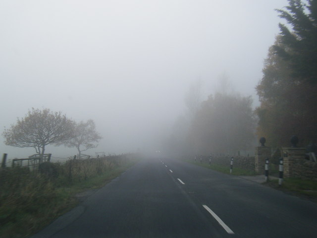
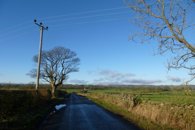
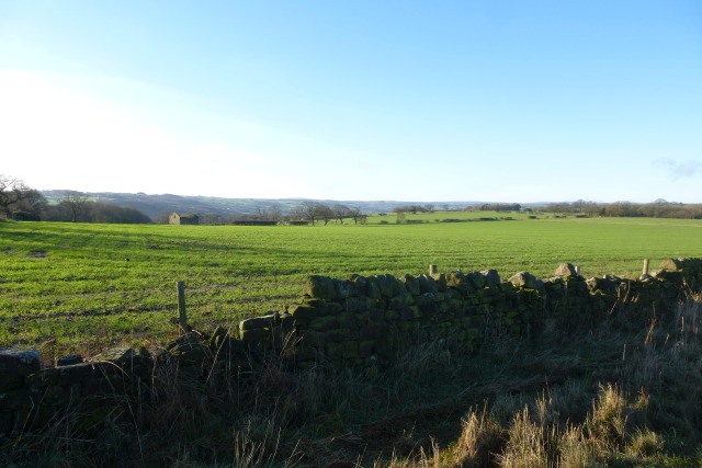
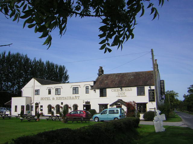
Low Eppage Wood Images
Images are sourced within 2km of 54.056692/-1.6495641 or Grid Reference SE2362. Thanks to Geograph Open Source API. All images are credited.


Low Eppage Wood is located at Grid Ref: SE2362 (Lat: 54.056692, Lng: -1.6495641)
Division: West Riding
Administrative County: North Yorkshire
District: Harrogate
Police Authority: North Yorkshire
What 3 Words
///translated.logs.handrail. Near Pateley Bridge, North Yorkshire
Nearby Locations
Related Wikis

Hartwith cum Winsley
Hartwith cum Winsley is a civil parish in Harrogate district, North Yorkshire, England. Historically it was a township in the ancient parish of Kirkby...

Burnt Yates
Burnt Yates is a village in the Borough of Harrogate in North Yorkshire, England. == Community == The village name possibly derived from 'Burnt Gates'...

Shaw Mills
Shaw Mills is a hamlet in the civil parish of Bishop Thornton, Shaw Mills and Warsill, in Nidderdale in the Harrogate district, North Yorkshire, England...

Warsill
Warsill is a settlement and civil parish in the Harrogate district, in the county of North Yorkshire, England. It consists of a few scattered farms 5 miles...

Birstwith
Birstwith is a village and civil parish in the Harrogate district of North Yorkshire, England. It is part of the Nidderdale, and is situated on the River...

Birstwith railway station
Birstwith railway station served the village of Birstwith, North Yorkshire, England from 1862 to 1964 on the Nidd Valley Railway. == History == The station...

Swarcliffe Hall
Swarcliffe Hall is a large hall that was constructed in 1800 in Birstwith, near Harrogate, England. The current house was built by John Greenwood in 1850...
Bishop Thornton
Bishop Thornton is a village in the civil parish of Bishop Thornton, Shaw Mills and Warsill, in the Harrogate district of North Yorkshire, England. According...
Nearby Amenities
Located within 500m of 54.056692,-1.6495641Have you been to Low Eppage Wood?
Leave your review of Low Eppage Wood below (or comments, questions and feedback).