Cooper's Coppice
Wood, Forest in Gloucestershire Cotswold
England
Cooper's Coppice
![The view from Salter's Well [1] Looking northwest from the bridleway near Salter's Well (a spring) over delicious Cotswold countryside. The buildings to the left are Oakhouse Farm. To the right on the skyline can be seen the distinctive twin communication towers atop Ilmington Hill, some 8 miles distant.](https://s3.geograph.org.uk/geophotos/02/35/57/2355743_7cd20170.jpg)
Cooper's Coppice is a woodland located in Gloucestershire, England. Covering an area of approximately 100 acres, it is a popular destination for nature enthusiasts, hikers, and families looking to enjoy the outdoors. The coppice is situated on gently undulating terrain, with a mix of deciduous and coniferous trees creating a diverse and rich ecosystem.
The woodland is home to a variety of wildlife, including deer, foxes, badgers, and a wide range of bird species. Visitors can often spot woodpeckers, owls, and buzzards while exploring the area. The forest floor is covered in a thick carpet of bluebells in the spring, creating a stunning visual display.
Cooper's Coppice offers several walking trails of varying lengths, providing options for both leisurely strolls and more challenging hikes. The paths are well-maintained and clearly signposted, ensuring visitors can navigate the woodland easily. There are also picnic areas and benches scattered throughout the wood, providing opportunities for visitors to relax and enjoy the peaceful surroundings.
The woodland is managed by a local conservation organization, which ensures that the natural habitats are preserved and protected. They carry out regular maintenance work, such as tree planting and clearing invasive species, to maintain the health and diversity of the woodland.
Cooper's Coppice is open to the public year-round, with no admission fee. It offers a tranquil escape from the hustle and bustle of daily life, allowing visitors to reconnect with nature and enjoy the beauty of Gloucestershire's woodlands.
If you have any feedback on the listing, please let us know in the comments section below.
Cooper's Coppice Images
Images are sourced within 2km of 52.001752/-1.6658232 or Grid Reference SP2333. Thanks to Geograph Open Source API. All images are credited.


Cooper's Coppice is located at Grid Ref: SP2333 (Lat: 52.001752, Lng: -1.6658232)
Administrative County: Gloucestershire
District: Cotswold
Police Authority: Gloucestershire
What 3 Words
///ferried.bands.informs. Near Moreton in Marsh, Gloucestershire
Nearby Locations
Related Wikis
Fire Service College
The Fire Service College is responsible for providing leadership, management and advanced operational training courses for senior fire officers from the...
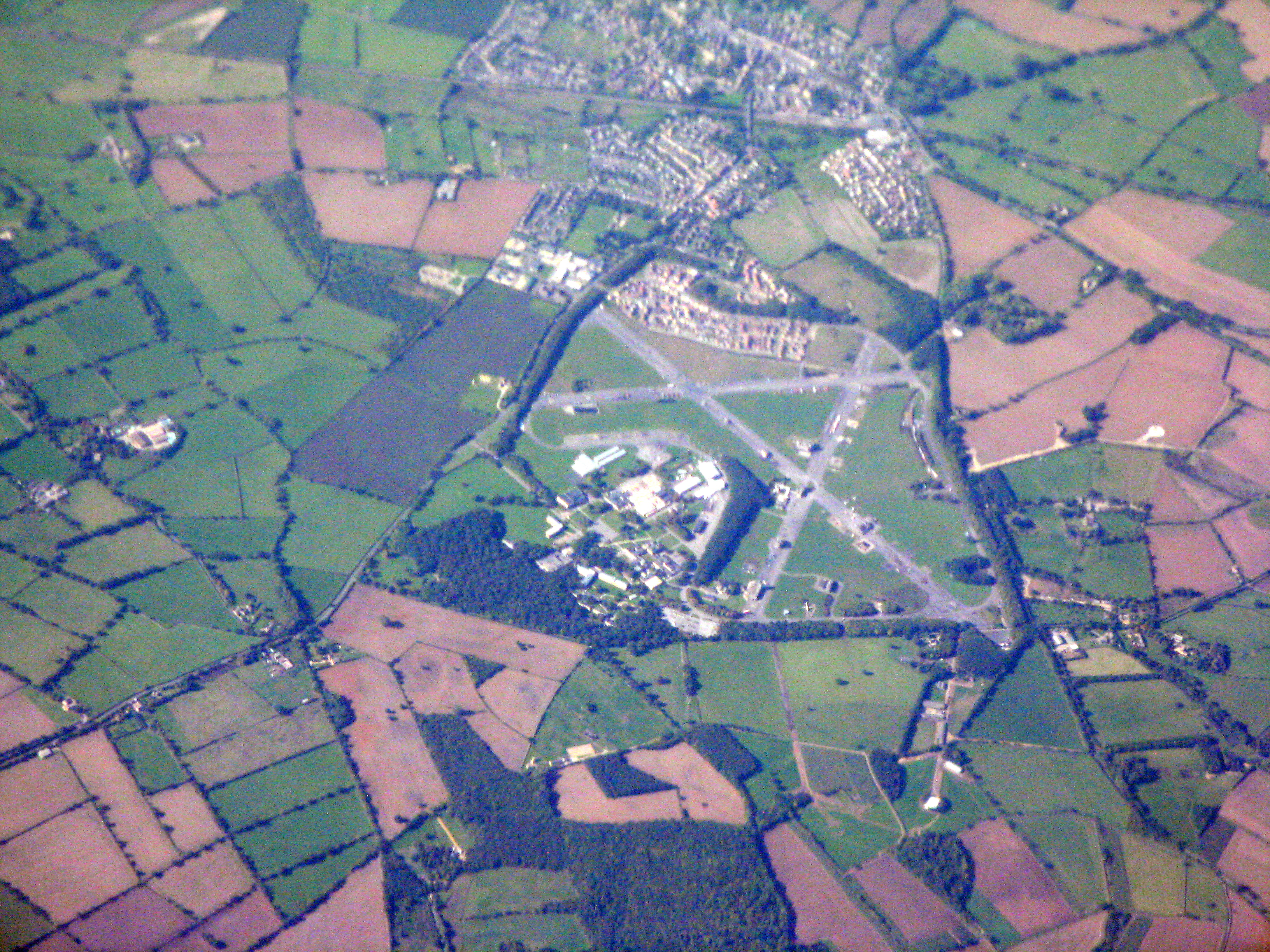
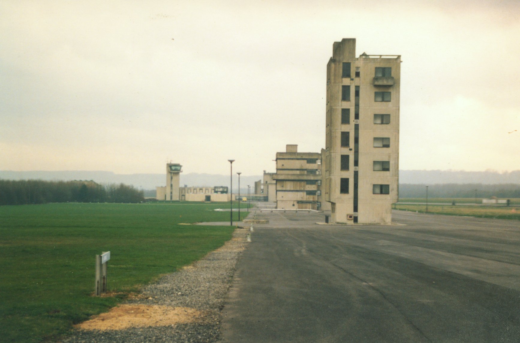
RAF Moreton-in-Marsh
RAF Moreton-in-Marsh was a Royal Air Force station near Moreton-in-Marsh, Gloucestershire. It was opened in November 1940 with three concrete and tarmac...

Church of St Leonard, Lower Lemington
The Anglican Church of St Leonard at Lower Lemington in the parish of Batsford in the Cotswold District of Gloucestershire, England was built in the 12th...
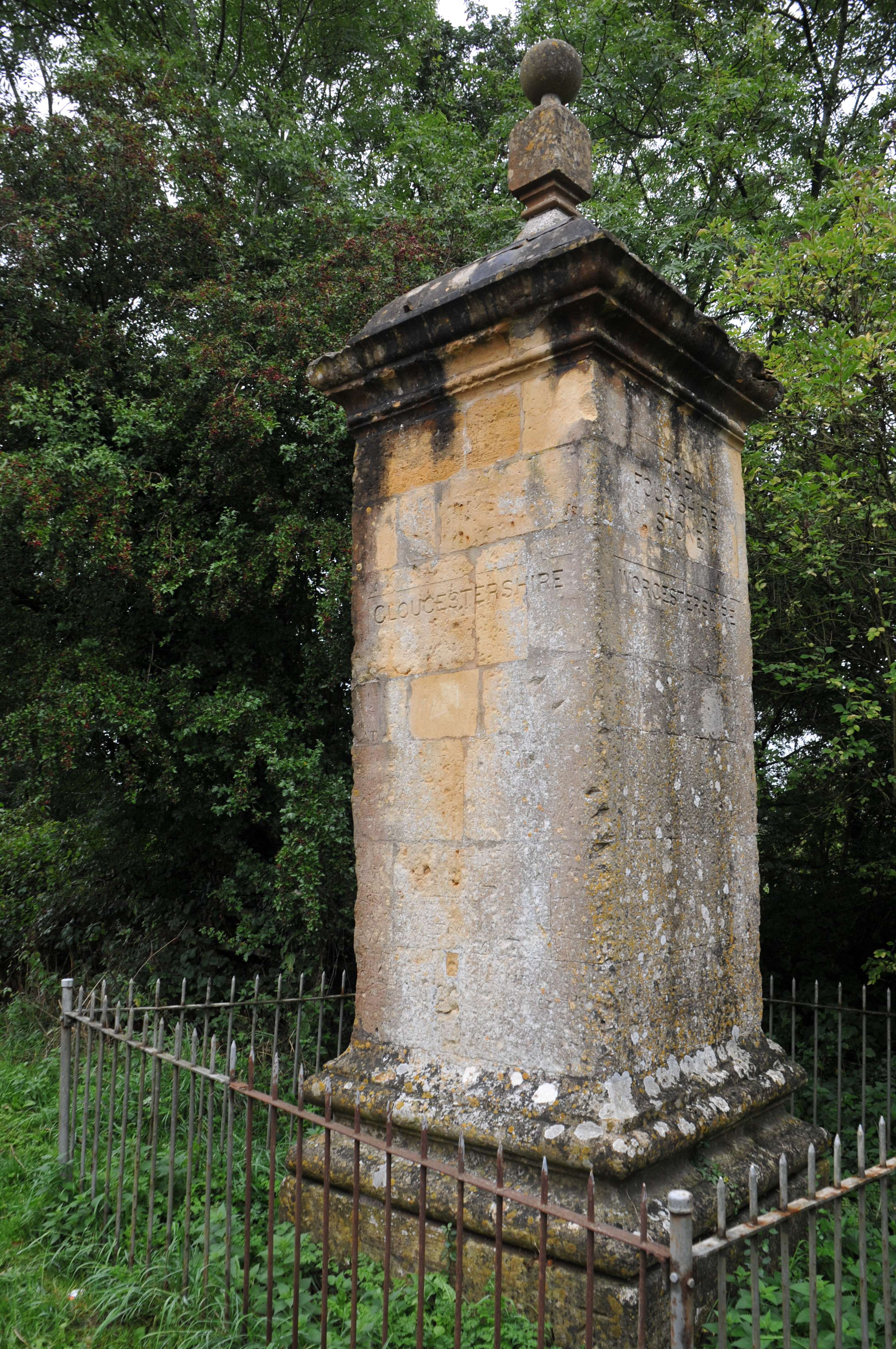
Four Shire Stone
The Four Shire Stone is a boundary marker that marks the place where the four historic English counties of Warwickshire, Oxfordshire, Gloucestershire,...
Have you been to Cooper's Coppice?
Leave your review of Cooper's Coppice below (or comments, questions and feedback).