Cliff Wood
Wood, Forest in Derbyshire Derbyshire Dales
England
Cliff Wood

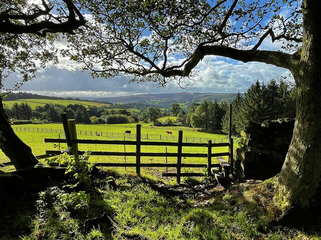
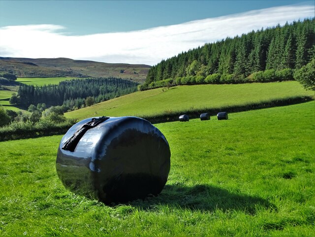
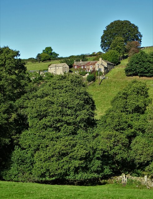
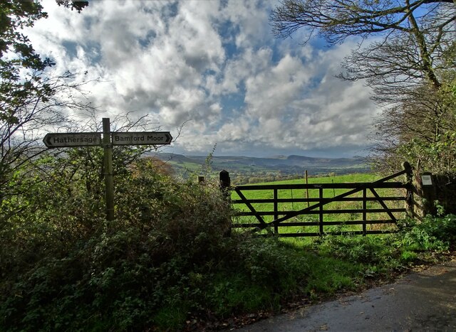
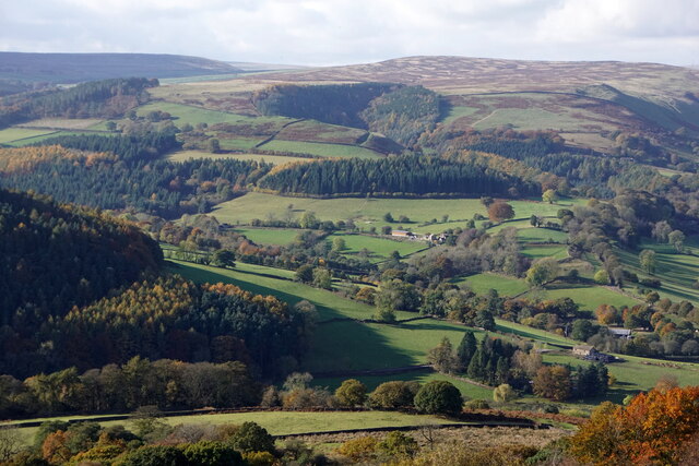
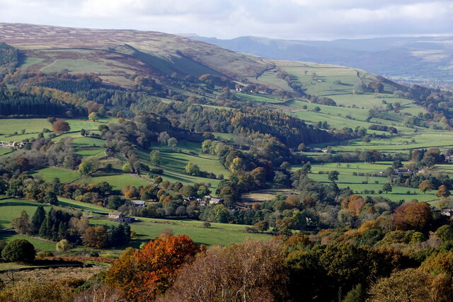
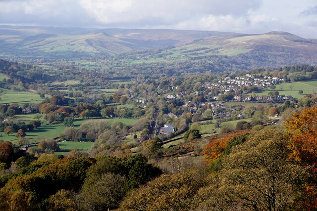
Cliff Wood is a picturesque woodland area located in Derbyshire, England. Situated near the village of Wood, it is a popular destination for outdoor enthusiasts and nature lovers alike. Covering an area of approximately 100 acres, Cliff Wood is characterized by its dense forest and towering cliffs that give the area its name.
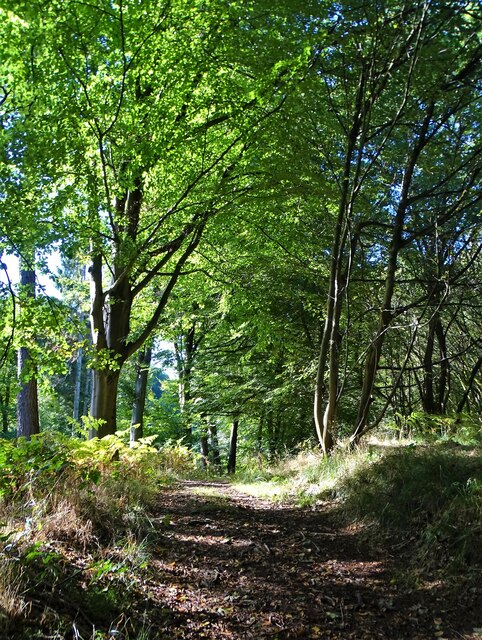
The woodland is home to a diverse range of flora and fauna, with ancient oak and beech trees dominating the landscape. The forest floor is carpeted with a variety of wildflowers, ferns, and mosses, creating a lush and vibrant environment. The wood is also home to a number of bird species, including woodpeckers, owls, and thrushes, making it a haven for birdwatchers.
A network of well-maintained walking trails winds through Cliff Wood, offering visitors the opportunity to explore its natural beauty. From leisurely strolls to more challenging hikes, there is a route to suit every level of fitness and interest. Along the way, hikers may come across hidden caves and rock formations, adding an element of adventure to their journey.
The wood is managed by the local conservation trust, who work tirelessly to preserve its natural state and protect its inhabitants. They also organize educational events and guided tours, allowing visitors to learn about the rich history and ecology of the area.
Overall, Cliff Wood is a tranquil and enchanting destination, offering a peaceful escape from the hustle and bustle of everyday life. Its natural beauty, diverse wildlife, and well-maintained trails make it a must-visit location for anyone seeking to immerse themselves in the wonders of the Derbyshire countryside.
If you have any feedback on the listing, please let us know in the comments section below.
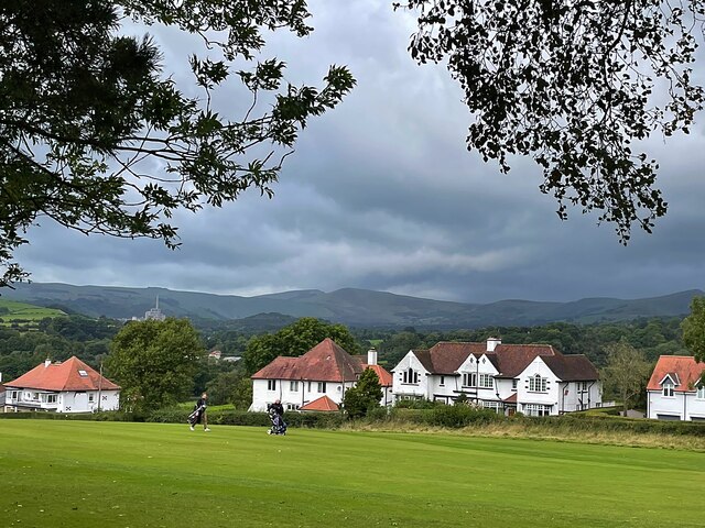
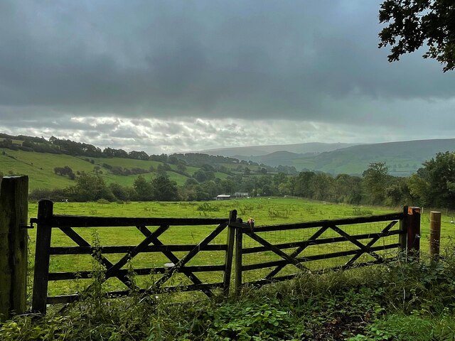
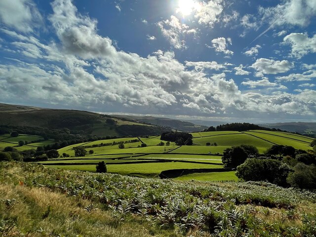
Cliff Wood Images
Images are sourced within 2km of 53.336408/-1.6589906 or Grid Reference SK2282. Thanks to Geograph Open Source API. All images are credited.


Cliff Wood is located at Grid Ref: SK2282 (Lat: 53.336408, Lng: -1.6589906)
Administrative County: Derbyshire
District: Derbyshire Dales
Police Authority: Derbyshire
What 3 Words
///hunt.future.moves. Near Hathersage, Derbyshire
Nearby Locations
Related Wikis

Hood Brook
Hood Brook is a stream in the Derbyshire Peak District, originating near Stanage Edge, close to Robin Hoods Cave. == Background == Hood Brook flows south...

St Michael and All Angels' Church, Hathersage
St Michael and All Angels’ Church, Hathersage, is a Grade I listed parish church in the Church of England in Hathersage, Derbyshire. == History == The...

Hathersage
Hathersage ( HATHə-sidge) is a village and civil parish in the Peak District in Derbyshire, England. It lies slightly to the north of the River Derwent...

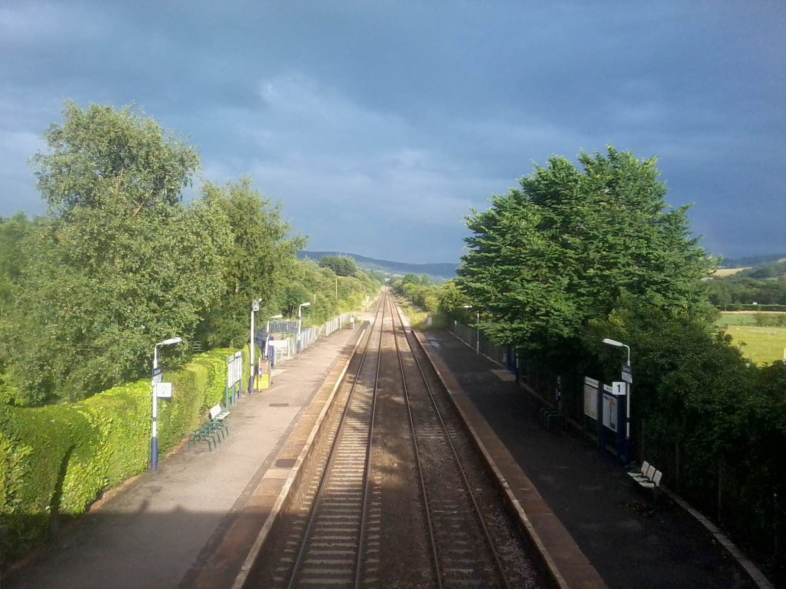
Hathersage railway station
Hathersage railway station serves the village of Hathersage in the Derbyshire Peak District, in England. == History == The station was opened on 25 June...
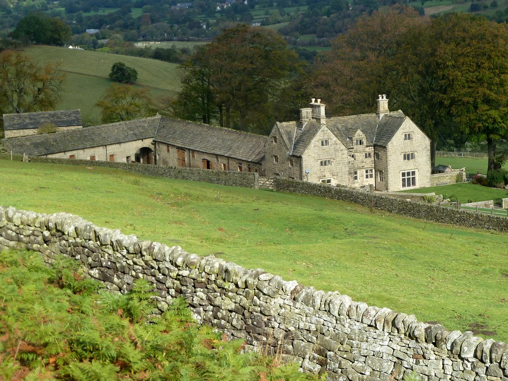
Offerton, Derbyshire
Offerton is a hamlet and civil parish in the Derbyshire Dales district, in Derbyshire, England. It lies on the River Derwent. The village features Offerton...
Bamford railway station
Bamford railway station serves the village of Bamford in the Derbyshire Peak District, in England and is managed by Northern Trains. It is located 13 miles...

Stanage Edge
Stanage Edge, or simply Stanage (from "stone edge") is a gritstone escarpment in the Peak District, England, famous as a location for climbing. It lies...
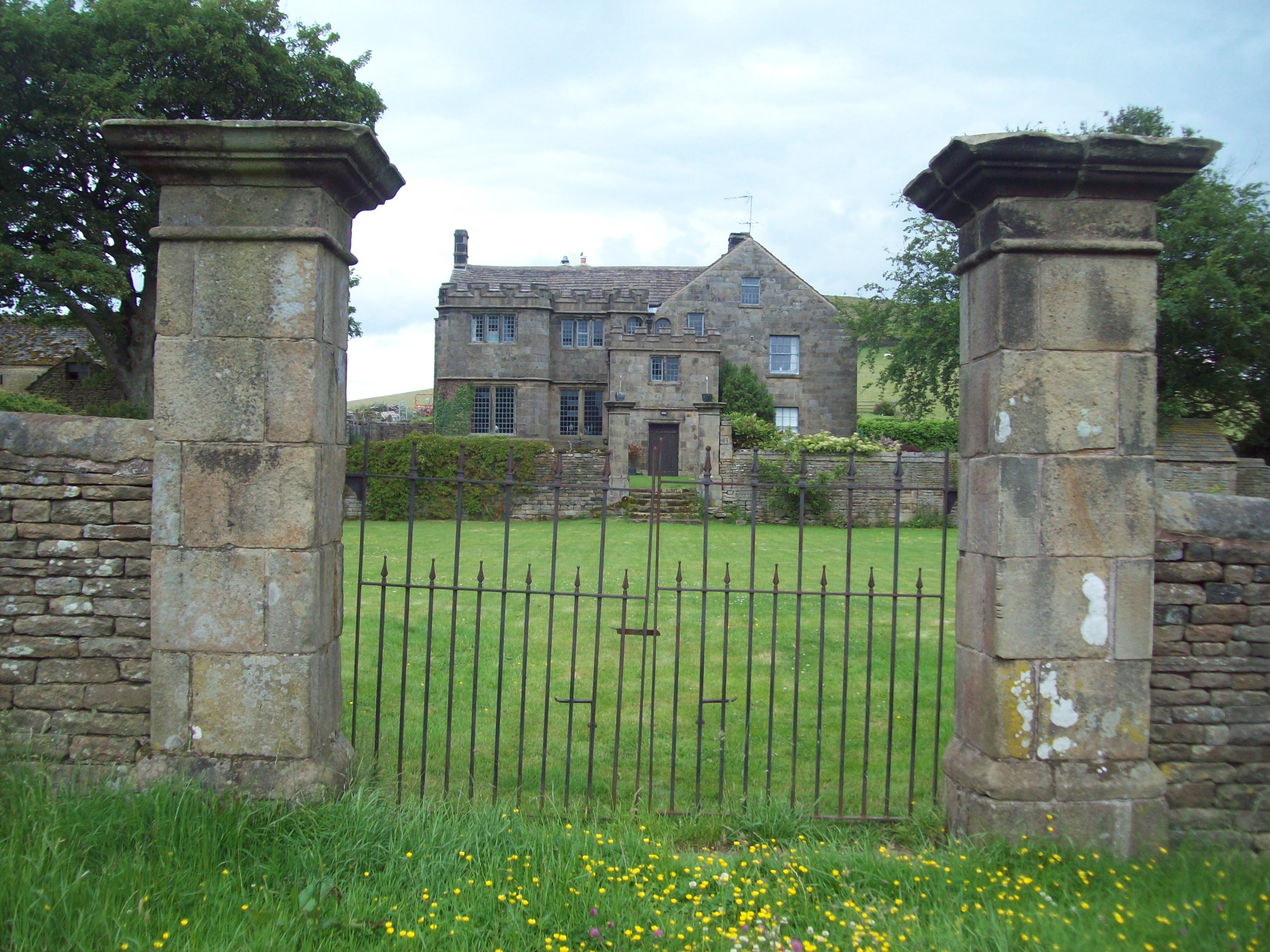
Highlow Hall
Highlow Hall is a historic Elizabethan manor house in Highlow civil parish, near Hathersage, Derbyshire, England. It was owned by the Eyre family from...
Nearby Amenities
Located within 500m of 53.336408,-1.6589906Have you been to Cliff Wood?
Leave your review of Cliff Wood below (or comments, questions and feedback).