Upham Copse
Wood, Forest in Wiltshire
England
Upham Copse
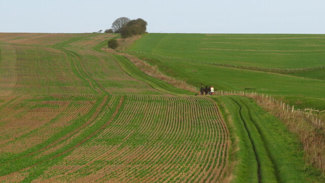
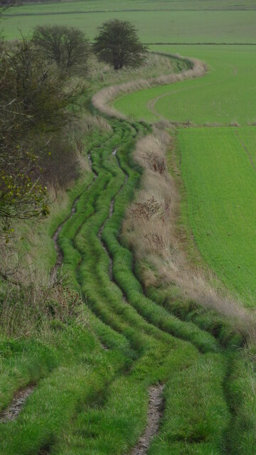
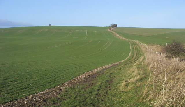
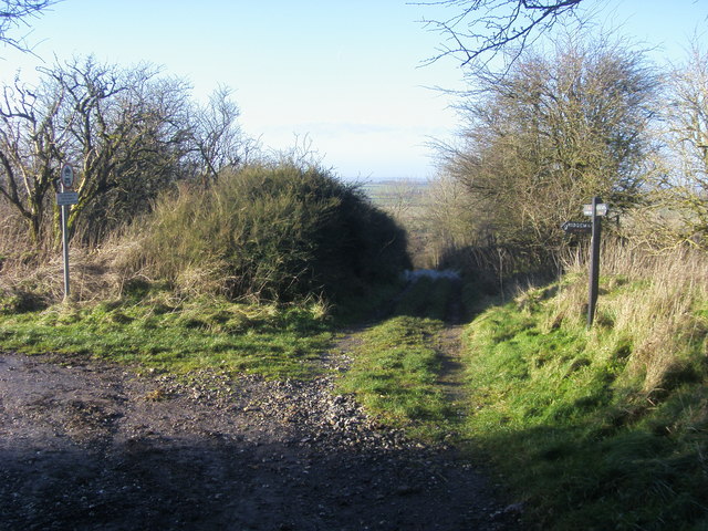
Upham Copse is a picturesque woodland nestled in the county of Wiltshire, England. Located near the village of Upham, this enchanting forest spans an area of approximately 50 acres, offering a tranquil and serene escape from the hustle and bustle of everyday life.
The copse is primarily composed of deciduous trees, including oak, beech, and ash, which create a dense canopy overhead, providing shade and shelter for a variety of flora and fauna. The forest floor is blanketed with a lush carpet of wildflowers, such as bluebells and primroses, which bloom in abundance during the spring season.
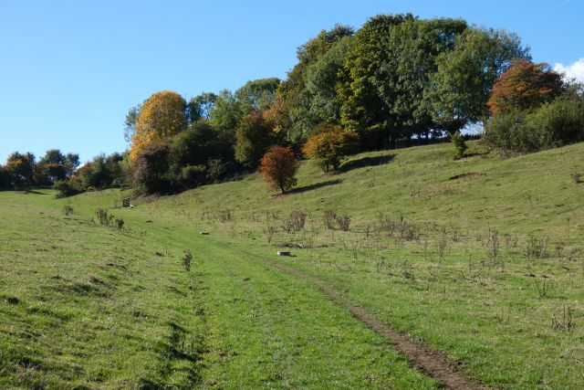
Visitors to Upham Copse can explore a network of well-maintained walking trails that wind their way through the woodland, allowing for a leisurely stroll or a more adventurous hike. The trails are interspersed with benches and picnic areas, inviting visitors to pause and take in the breathtaking natural beauty that surrounds them.
Wildlife enthusiasts will be delighted by the diverse range of animals that call Upham Copse home. It is not uncommon to spot deer, foxes, and squirrels darting among the trees, while birdwatchers can catch a glimpse of various species, including woodpeckers, owls, and warblers.
Upham Copse is a popular destination for nature lovers, photographers, and those seeking a peaceful retreat in the heart of nature. With its idyllic setting and abundant wildlife, this woodland gem offers an unforgettable experience for visitors of all ages.
If you have any feedback on the listing, please let us know in the comments section below.
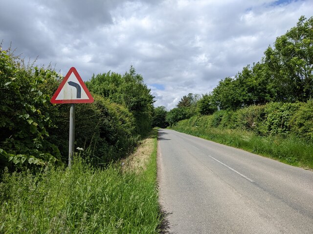
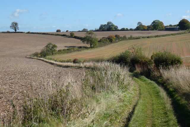
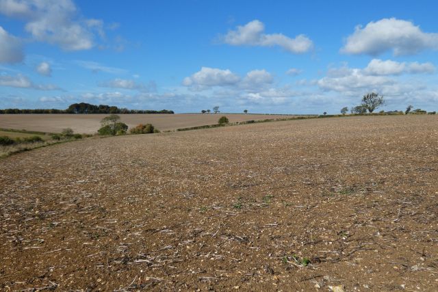
Upham Copse Images
Images are sourced within 2km of 51.495788/-1.6729038 or Grid Reference SU2277. Thanks to Geograph Open Source API. All images are credited.


Upham Copse is located at Grid Ref: SU2277 (Lat: 51.495788, Lng: -1.6729038)
Unitary Authority: Wiltshire
Police Authority: Wiltshire
What 3 Words
///proclaims.amphibian.shams. Near Aldbourne, Wiltshire
Nearby Locations
Related Wikis

Upper Upham
Upper Upham is a hamlet and deserted medieval village in the civil parish of Aldbourne in the English county of Wiltshire. Its nearest town is Marlborough...

Snap, Wiltshire
Snap is an abandoned village near Aldbourne in Wiltshire, England. It is unusual in that it was not abandoned until the 20th century. The village was...

Woodsend
Woodsend is a hamlet in the civil parish of Aldbourne in Wiltshire, England. Its nearest town is Marlborough, which is approximately 4.5 miles (7.2 km...
Battle of Aldbourne Chase
The Battle of Aldbourne Chase was a relatively small battle of the First English Civil War that occurred on 18 September 1643. In the skirmish the Royalist...

Liddington Castle
Liddington Castle, locally called Liddington Camp, is a late Bronze Age and early Iron Age univallate hillfort in Liddington parish in the English county...

Chiseldon Camp railway station
Chiseldon Camp Halt was a small railway station on the Midland and South Western Junction Railway line, south of Swindon in Wiltshire, England. == History... ==
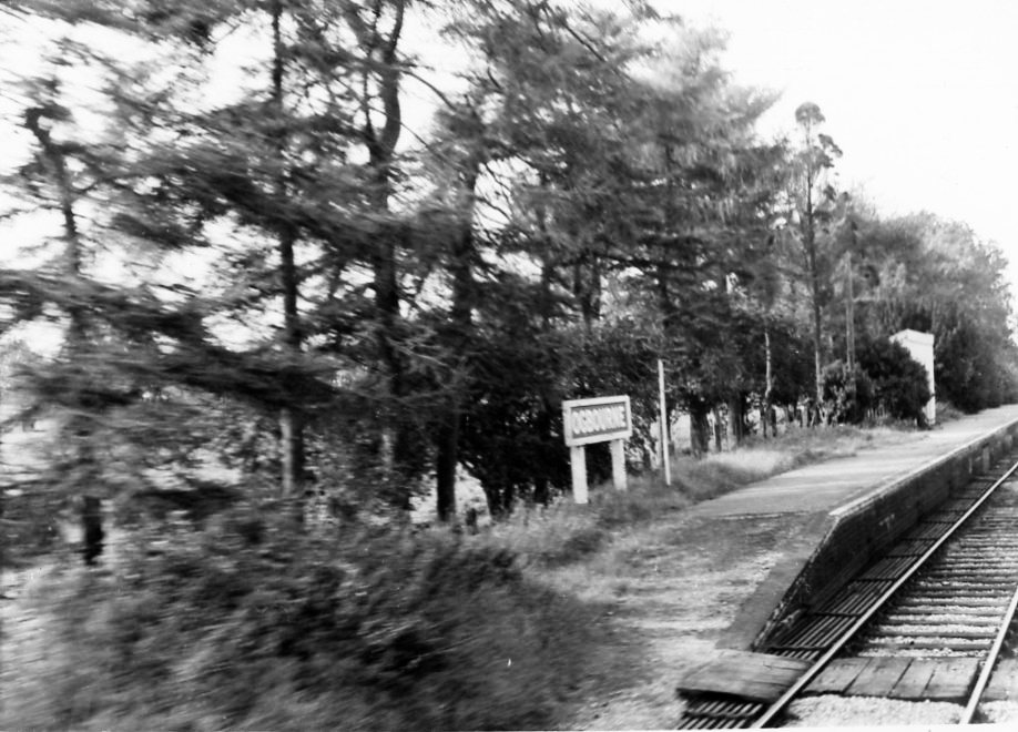
Ogbourne railway station
Ogbourne railway station was on the Midland and South Western Junction Railway in Wiltshire, England. The station opened on 27 July 1881 on the Swindon...
King Edward's Place
King Edward's Place is a country house at Foxhill near Wanborough and Liddington in Wiltshire. It is currently known as PGL Liddington and is owned and...
Nearby Amenities
Located within 500m of 51.495788,-1.6729038Have you been to Upham Copse?
Leave your review of Upham Copse below (or comments, questions and feedback).