Armston

Settlement in Northamptonshire

England

Armston

Converted farm buildings, Polebrook
Converted farm buildings, Polebrook Credit: Jonathan Thacker

Armston is a small village located in the county of Northamptonshire, in the East Midlands region of England. Situated approximately 7 miles northeast of the market town of Oundle, Armston covers an area of about 500 acres and has a population of around 150 residents.

The village is known for its picturesque countryside and tranquil atmosphere, making it a popular destination for those seeking a peaceful retreat away from the bustling city life. Surrounded by rolling hills and farmland, Armston offers stunning views of the Northamptonshire landscape, with its charming stone cottages and well-manicured gardens adding to the village's idyllic charm.

Despite its small size, Armston has a strong sense of community and is home to a close-knit group of residents. The village features a historic parish church, which dates back to the 13th century and is a notable architectural landmark in the area. Additionally, there is a village hall that serves as a hub for social gatherings and community events.

While Armston may lack some amenities typically found in larger towns, its proximity to nearby Oundle provides residents with access to essential services such as schools, shops, and healthcare facilities. The village is well-connected to the surrounding areas by road, with the A427 passing through nearby Southwick and providing easy access to the A1.

In summary, Armston is a charming village in Northamptonshire, offering a peaceful and scenic environment for its residents. With its strong sense of community and proximity to nearby amenities, it provides a perfect balance between rural tranquility and convenient access to essential services.

If you have any feedback on the listing, please let us know in the comments section below.
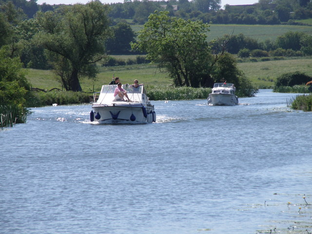
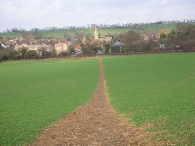
Armston Images

Images are sourced within 2km of 52.460187/-0.440568 or Grid Reference TL0685. Thanks to Geograph Open Source API. All images are credited.

Converted farm buildings, Polebrook
Greyston House, Polebrook Late seventeenth century house <span class="nowrap"><a title="https://historicengland.org.uk/listing/the-list/list-entry/1190655" rel="nofollow ugc noopener" href="https://historicengland.org.uk/listing/the-list/list-entry/1190655">Link</a><img style="margin-left:2px;" alt="External link" title="External link - shift click to open in new window" src="https://s1.geograph.org.uk/img/external.png" width="10" height="10"/></span>
Greyston House, Polebrook
Late seventeenth century house LinkExternal link
Byway to Ashton
Byway to Ashton
On Nene Way - heading towards All Saints Church, Barnwell
All Saints Church, Barnwell
Bridge over Barnwell Brook, Barnwell and view towards Church Hill
Barnwell - St Andrew's Church
On the Nene Way, SE of Oundle
Main Street Polebrook
All Saints, Polebrook
Ford at Armston This ford is shown on the OS Explorer maps and has recently become part of a 4x4 route in the woods. At the time of my visit access off the road and at the ford was taped off.
Ford at Armston
This ford is shown on the OS Explorer maps and has recently become part of a 4x4 route in the woods. At the time of my visit access off the road and at the ford was taped off.
Barnwell Ford This ford connects the two parallel roads together with the many footbridges over the stream.
Barnwell Ford
This ford connects the two parallel roads together with the many footbridges over the stream.
Barnwell: July rain The bridge crosses a tributary of the Nene. The spire of the parish church of St Andrew is in the centre, in <a href="https://www.geograph.org.uk/gridref/TL0484">TL0484</a>.
Barnwell: July rain
The bridge crosses a tributary of the Nene. The spire of the parish church of St Andrew is in the centre, in TL0484.
Barnwell: St Andrew "Externally mostly of the later C13," wrote Nikolaus Pevsner. "Bell-openings wildly decorated with dog-tooth and ballflower. Spire tall with small broaches. Three tiers of lucarnes."
Barnwell: St Andrew
"Externally mostly of the later C13," wrote Nikolaus Pevsner. "Bell-openings wildly decorated with dog-tooth and ballflower. Spire tall with small broaches. Three tiers of lucarnes."
A wet afternoon in Barnwell Looking towards the bridge, the crossroads and The Montagu Arms on yet another wet day in summer 2012.
A wet afternoon in Barnwell
Looking towards the bridge, the crossroads and The Montagu Arms on yet another wet day in summer 2012.
Polebrook Memorial and All Saints Church.
Polebrook
Memorial and All Saints Church.
All Saints, Polebrook
Show me another place!

Armston is located at Grid Ref: TL0685 (Lat: 52.460187, Lng: -0.440568)

Unitary Authority: North Northamptonshire

Police Authority: Northamptonshire

What 3 Words

///slope.cabbies.shack. Near Oundle, Northamptonshire

Related Wikis

Armston

Armston is a hamlet and former civil parish, now in the parish of Polebrook, in the North Northamptonshire district, in the ceremonial county of Northamptonshire...

Barnwell Manor

Barnwell Manor is a Grade II listed country estate near the village of Barnwell, about 2.5 miles (4.0 km) south of Oundle, in Northamptonshire, England...

Barnwell Castle

Barnwell Castle is a ruined castle, south of the town of Oundle, and north of the village of Barnwell, Northamptonshire (grid reference TL047853). It...

Polebrook

Polebrook is a village in Northamptonshire, England. The population (including Armston) at the 2011 census was 478. == History == There is evidence that...

Nearby Amenities

Located within 500m of 52.460187,-0.440568
Building: yes
Lat/Long: 52.4586702/-0.4457217
Place: farm
Lat/Long: 52.4608144/-0.4398423
Armston
Place: locality
Lat/Long: 52.4611712/-0.4407175
Post Box
Lat/Long: 52.4613344/-0.4403705
Power: pole
Lat/Long: 52.4625126/-0.4355906
Power: pole
Lat/Long: 52.4618534/-0.4366399
Power: pole
Lat/Long: 52.461164/-0.4377315
Power: pole
Lat/Long: 52.460481/-0.4387765
Power: pole
Lat/Long: 52.4597772/-0.4399072
Power: pole
Lat/Long: 52.4591419/-0.4409204
Power: pole
Lat/Long: 52.4583635/-0.4410158
Power: pole
Lat/Long: 52.4574597/-0.4411504
Power: pole
Lat/Long: 52.4566529/-0.4412263
Power: pole
Lat/Long: 52.4558655/-0.4419874
Power: pole
Lat/Long: 52.4584516/-0.4426042
Power: pole
Lat/Long: 52.4585187/-0.4441368
Power: pole
Lat/Long: 52.4586003/-0.4453481
The data included in this document is from www.openstreetmap.org. The data is made available under ODbL.

Have you been to Armston?

Leave your review of Armston below (or comments, questions and feedback).