Nether Wood
Wood, Forest in Derbyshire Derbyshire Dales
England
Nether Wood
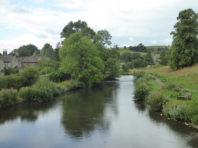
Nether Wood, located in Derbyshire, England, is a picturesque forest area that offers a tranquil escape from the hustle and bustle of city life. Covering a vast expanse of land, this wood is known for its dense foliage, towering trees, and diverse wildlife.
The forest is characterized by its rich biodiversity, with a wide array of plant and animal species calling it home. Ancient oak and beech trees dominate the landscape, providing a shady canopy during the summer months. These trees have stood for centuries, their gnarled trunks bearing witness to the passage of time.
Nether Wood is a haven for nature enthusiasts and avid walkers, offering a network of well-maintained trails that wind through its enchanting scenery. As visitors traverse the forest, they may encounter charming streams, babbling brooks, and small ponds teeming with aquatic life.
The forest's wildlife is abundant, with deer, foxes, rabbits, and a variety of bird species frequently spotted by keen-eyed observers. Additionally, rare and protected species, such as the red kite and brown hare, have been known to inhabit the wood, making it an important conservation area.
The beauty of Nether Wood extends throughout the seasons, with vibrant displays of bluebells and wildflowers in spring, lush greenery in summer, fiery foliage in autumn, and serene snow-covered landscapes in winter. This ever-changing tapestry of colors adds to the charm and allure of the forest.
Overall, Nether Wood is a captivating destination that offers a tranquil retreat and an opportunity to reconnect with nature. Its natural beauty, diverse wildlife, and well-maintained trails make it a must-visit location for outdoor enthusiasts and those seeking a peaceful escape.
If you have any feedback on the listing, please let us know in the comments section below.
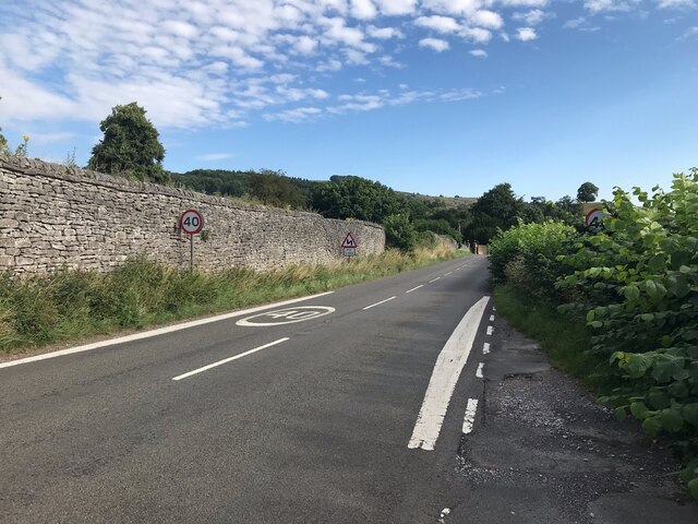
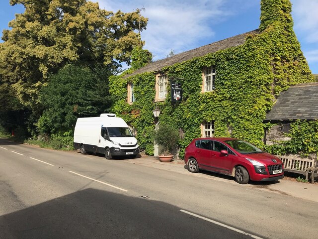
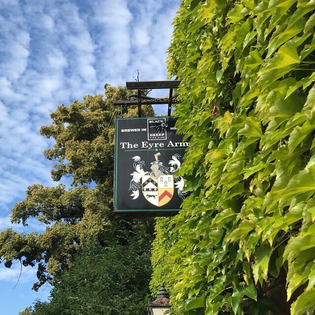
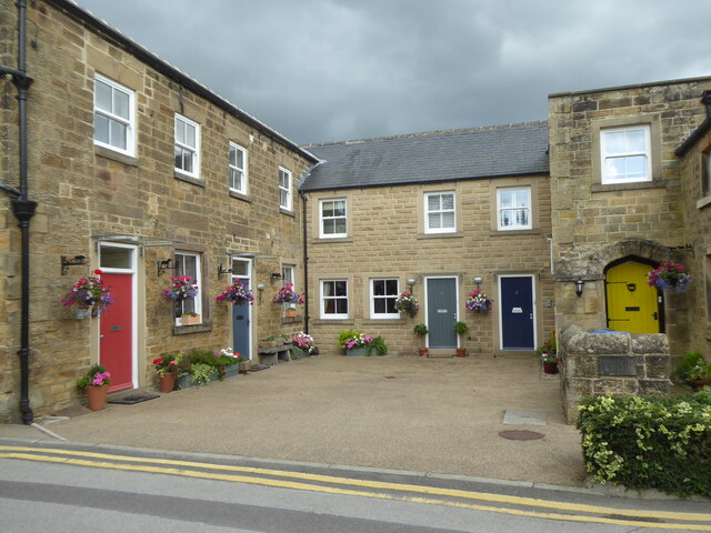
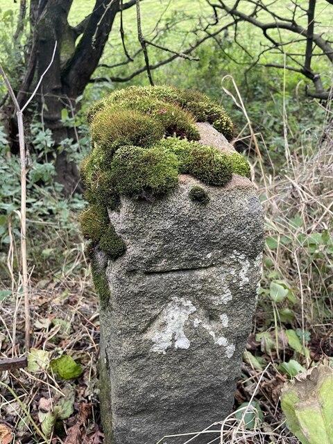
Nether Wood Images
Images are sourced within 2km of 53.230578/-1.6636364 or Grid Reference SK2270. Thanks to Geograph Open Source API. All images are credited.


Nether Wood is located at Grid Ref: SK2270 (Lat: 53.230578, Lng: -1.6636364)
Administrative County: Derbyshire
District: Derbyshire Dales
Police Authority: Derbyshire
What 3 Words
///enacted.various.astounded. Near Bakewell, Derbyshire
Nearby Locations
Related Wikis

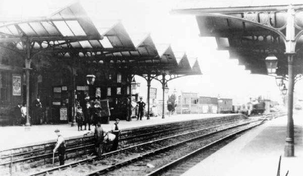
Hassop railway station
Hassop railway station was a station situated about two miles from the village of Hassop in the Peak District of Derbyshire. It was opened in 1862 by the...
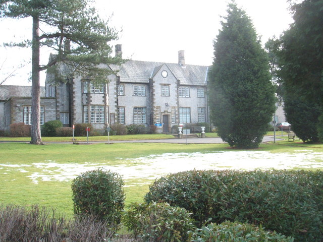
Newholme Hospital
Newholme Hospital is a community healthcare facility at Baslow Road in Bakewell, Derbyshire. It was managed by Derbyshire Community Health Services NHS...
Bakewell railway station
Bakewell railway station was a railway station built to serve the town of Bakewell in Derbyshire, England, by the Midland Railway on its extension of the...
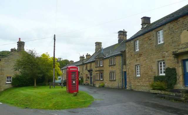
Pilsley, Derbyshire Dales
Pilsley is a small village and civil parish in Derbyshire, England. At the 2011 Census the population of the civil parish was 152. It is close to Chatsworth...

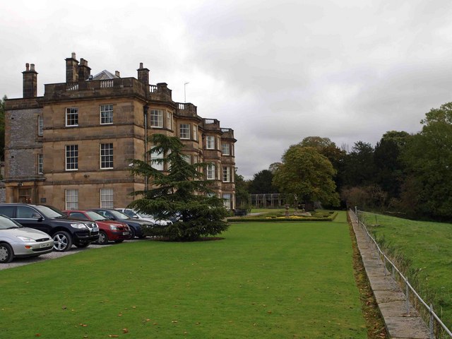
Holme Hall, Bakewell
Holme Hall near Bakewell, Derbyshire, is a privately owned 17th-century country house. It is a Grade I listed building. == History == The house was built...

Bakewell Castle
Bakewell Castle was in the town of Bakewell, Derbyshire (grid reference SK221688). It was a motte and bailey castle. According to some sources it was built...
Hassop Hall
Hassop Hall is a 17th-century country house near Bakewell, Derbyshire, which was operated as a hotel until it closed on 29 September 2019. It is a Grade...

Hassop
Hassop is a village in the local government district of Derbyshire Dales in Derbyshire, England. It is in the civil parish of Great Longstone It developed...
Nearby Amenities
Located within 500m of 53.230578,-1.6636364Have you been to Nether Wood?
Leave your review of Nether Wood below (or comments, questions and feedback).