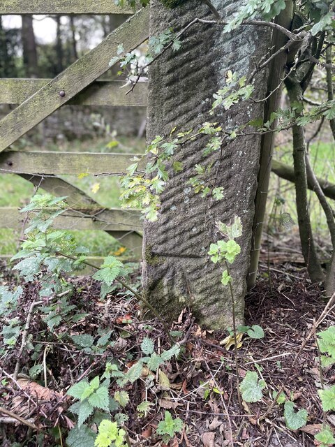
Flatt Plantation
Wood, Forest in Derbyshire Derbyshire Dales
England
Flatt Plantation
Flatt Plantation, located in Derbyshire, England, is a picturesque woodland area known for its lush forests and natural beauty. Spanning over several acres, this plantation is a popular destination for nature enthusiasts and outdoor adventurers alike.
The woodland is dominated by an array of deciduous trees, including oak, beech, and birch, which create a stunning display of colors during the autumn months. The dense vegetation provides a habitat for a variety of wildlife, such as deer, squirrels, and a wide range of bird species, making it a haven for birdwatchers and animal lovers.
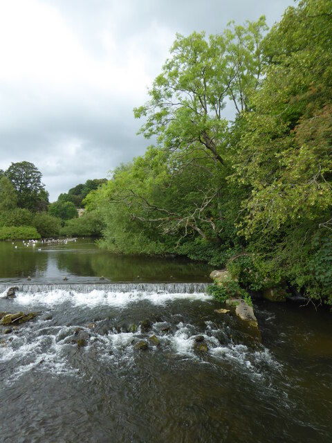
Flatt Plantation offers numerous walking trails that wind through its enchanting landscapes, allowing visitors to explore its hidden gems. One of the most notable features of the woodland is the presence of a small stream that meanders through the trees, providing a tranquil setting and a peaceful soundtrack of running water.
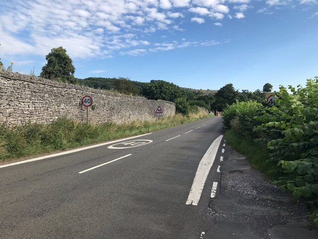
In addition to its natural beauty, Flatt Plantation also has historical significance. It is believed that the area was once part of an ancient deer park, dating back to medieval times. The remnants of old stone walls and boundaries can still be seen, adding a touch of historical charm to the woodland.
Overall, Flatt Plantation is a must-visit destination for anyone seeking a peaceful retreat in the heart of Derbyshire's natural wonders. Its stunning forests, diverse wildlife, and rich history make it an ideal location for outdoor activities, nature walks, and a chance to reconnect with the beauty of the natural world.
If you have any feedback on the listing, please let us know in the comments section below.
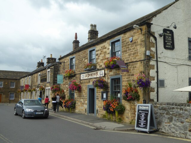
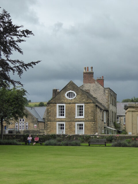
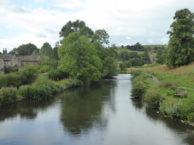
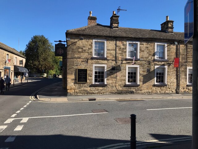
Flatt Plantation Images
Images are sourced within 2km of 53.229739/-1.6687213 or Grid Reference SK2270. Thanks to Geograph Open Source API. All images are credited.


Flatt Plantation is located at Grid Ref: SK2270 (Lat: 53.229739, Lng: -1.6687213)
Administrative County: Derbyshire
District: Derbyshire Dales
Police Authority: Derbyshire
What 3 Words
///fortified.passwords.named. Near Bakewell, Derbyshire
Nearby Locations
Related Wikis

Hassop railway station
Hassop railway station was a station situated about two miles from the village of Hassop in the Peak District of Derbyshire. It was opened in 1862 by the...
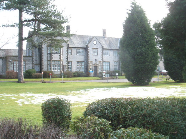
Newholme Hospital
Newholme Hospital is a community healthcare facility at Baslow Road in Bakewell, Derbyshire. It was managed by Derbyshire Community Health Services NHS...
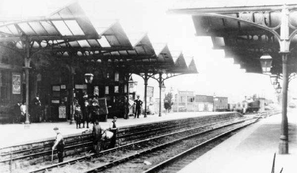
Bakewell railway station
Bakewell railway station was a railway station built to serve the town of Bakewell in Derbyshire, England, by the Midland Railway on its extension of the...

Holme Hall, Bakewell
Holme Hall near Bakewell, Derbyshire, is a privately owned 17th-century country house. It is a Grade I listed building. == History == The house was built...

Bakewell Castle
Bakewell Castle was in the town of Bakewell, Derbyshire (grid reference SK221688). It was a motte and bailey castle. According to some sources it was built...

Lumford Mill
Lumford Mill was a historic cotton mill at Bakewell in Derbyshire, England. In 1777, Richard Arkwright leased a stretch of land by the River Wye from Philip...
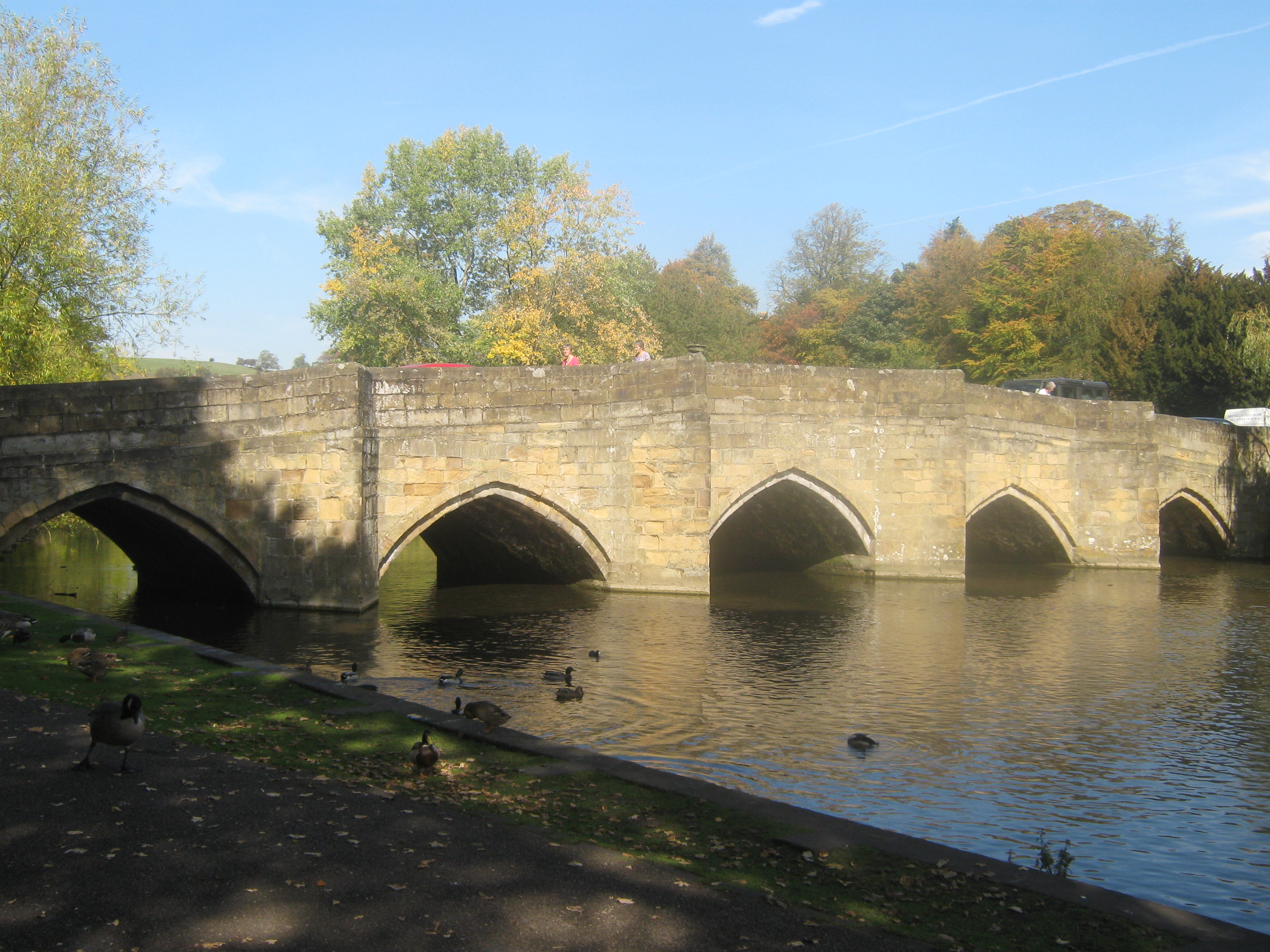
Bakewell Bridge
Bakewell Bridge is a Grade I listed stone arch bridge spanning the River Wye in Bakewell, Derbyshire. The bridge is also a scheduled monument. == History... ==
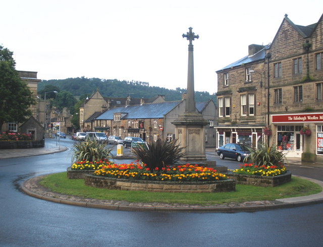
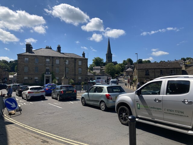
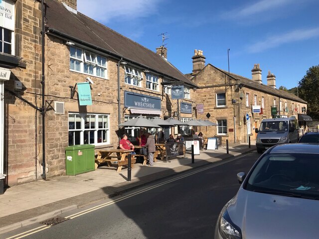
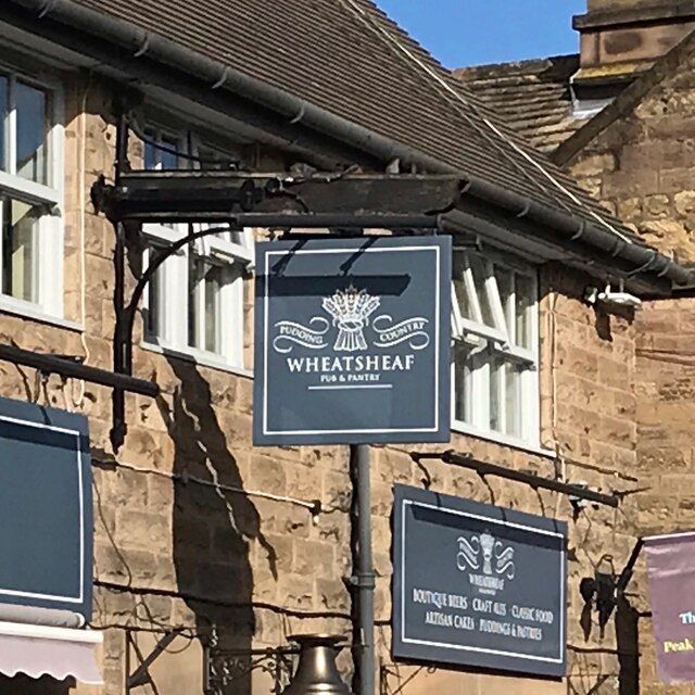
Bakewell
Bakewell is a market town and civil parish in the Derbyshire Dales district of Derbyshire, England, known for Bakewell pudding. It lies on the River Wye...
Nearby Amenities
Located within 500m of 53.229739,-1.6687213Have you been to Flatt Plantation?
Leave your review of Flatt Plantation below (or comments, questions and feedback).