Newland Wood

Wood, Forest in Warwickshire Warwick

England

Newland Wood

Village Notice Board, Five Ways The noticeboard and post box are just south of the large roundabout which replaced the five ways crossroads where the A4141 meets the A4177.
Village Notice Board, Five Ways Credit: Nigel Mykura

Newland Wood is a picturesque forest located in Warwickshire, England. Spanning over a vast area, it is a haven for nature enthusiasts and those seeking tranquility amidst the bustling city life. The wood is situated in close proximity to the village of Newland, which adds to its charm and accessibility.

With its diverse range of flora and fauna, Newland Wood offers a rich and immersive experience for visitors. The forest is primarily composed of broadleaf trees, including oak, beech, and ash, which provide a canopy of shade during the summer months. The forest floor is adorned with a variety of wildflowers, adding vibrant colors to the landscape.

Newland Wood is home to a wide array of wildlife, making it an ideal destination for birdwatchers and animal lovers. Visitors may spot species such as woodpeckers, owls, and various songbirds. Small mammals like rabbits, squirrels, and foxes can also be seen scurrying through the undergrowth.

The wood features well-maintained trails and footpaths, allowing visitors to explore its beauty at their own pace. Additionally, there are designated picnic areas where families and friends can enjoy a peaceful lunch surrounded by nature.

Newland Wood is well-preserved and protected, ensuring the conservation of its natural habitats and the sustainability of its ecosystem. It has become a popular destination for nature walks, photography, and educational trips for schools.

Overall, Newland Wood in Warwickshire offers a serene and immersive experience for individuals looking to connect with nature and escape the hustle and bustle of daily life.

If you have any feedback on the listing, please let us know in the comments section below.
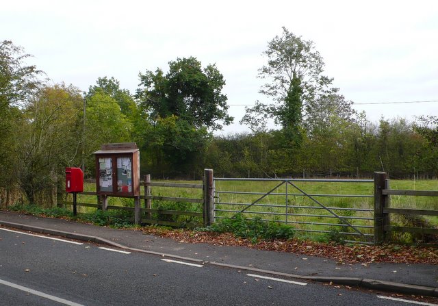
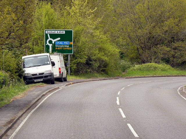
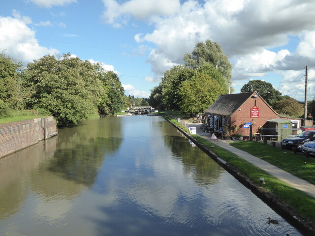
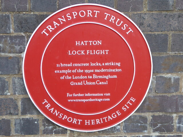
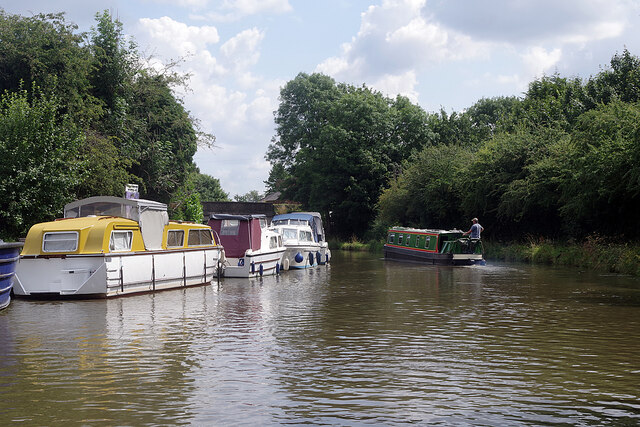
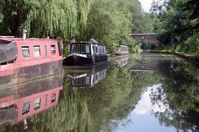
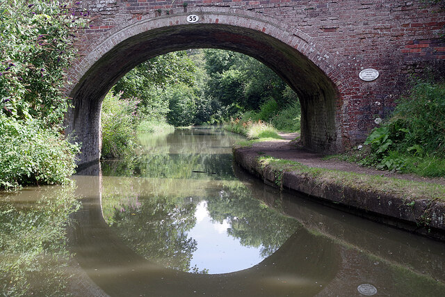
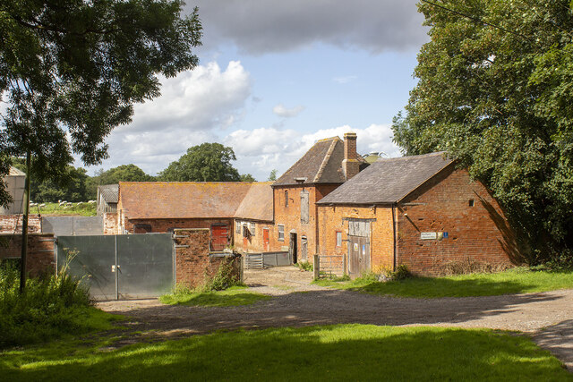
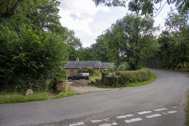
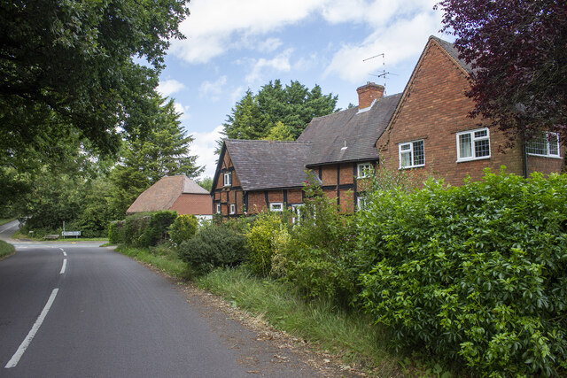
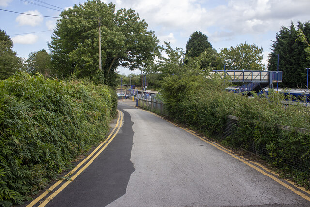
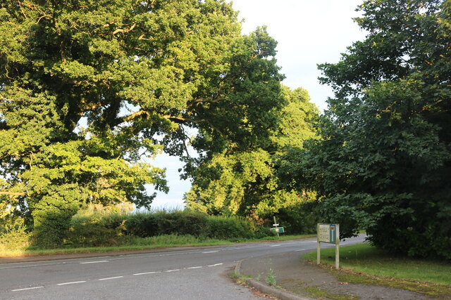
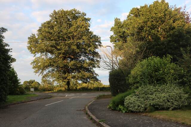
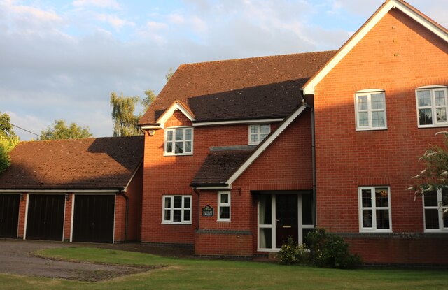
Newland Wood Images

Images are sourced within 2km of 52.310383/-1.6709425 or Grid Reference SP2268. Thanks to Geograph Open Source API. All images are credited.

Village Notice Board, Five Ways The noticeboard and post box are just south of the large roundabout which replaced the five ways crossroads where the A4141 meets the A4177.
Village Notice Board, Five Ways
The noticeboard and post box are just south of the large roundabout which replaced the five ways crossroads where the A4141 meets the A4177.
A4177 Birmingham Road, Fiveways
Grand Union Canal from Hatton top lock (No. 46) The café is on the right.
Grand Union Canal from Hatton top lock (No. 46)
The café is on the right.
Grand Union Canal - plaque The Transport Trust has placed a commemorative plaque on the top lock (No. 46) of the Hatton flight near Warwick.
Grand Union Canal - plaque
The Transport Trust has placed a commemorative plaque on the top lock (No. 46) of the Hatton flight near Warwick.
Grand Union Canal - lock No. 45 One of 21 broad locks on the Hatton flight.
Grand Union Canal - lock No. 45
One of 21 broad locks on the Hatton flight.
Grand Union Canal - lock No. 46 This is the top lock of the Hatton flight of 21 broad locks. The remains of the replaced narrow lock are to the right. The red plaque is a Transport Trust heritage marker.
Grand Union Canal - lock No. 46
This is the top lock of the Hatton flight of 21 broad locks. The remains of the replaced narrow lock are to the right. The red plaque is a Transport Trust heritage marker.
Former work boat alongside the Grand Union Canal Alongside the Hatton flight of locks between locks Nos. 44 and 45. No. 44 is seen in the background. This originally carried a piling rig operated by a diesel engine and was used for bank maintenance by British Waterway Board. The wooden planks alongside represent the type of piled bank it was used to construct and maintain.
Former work boat alongside the Grand Union Canal
Alongside the Hatton flight of locks between locks Nos. 44 and 45. No. 44 is seen in the background. This originally carried a piling rig operated by a diesel engine and was used for bank maintenance by British Waterway Board. The wooden planks alongside represent the type of piled bank it was used to construct and maintain.
Shrewley Tunnel At 433 yards, Shrewley Tunnel is by no means the longest on the Grand Union Canal but it is the last one for boats heading towards Birmingham. This is the north-west portal, looking towards Hatton with a boat visible inside.
Shrewley Tunnel
At 433 yards, Shrewley Tunnel is by no means the longest on the Grand Union Canal but it is the last one for boats heading towards Birmingham. This is the north-west portal, looking towards Hatton with a boat visible inside.
Grand Union Canal, Hatton A narrowboat heads towards bridge 56 on the approach towards Hatton Locks.
Grand Union Canal, Hatton
A narrowboat heads towards bridge 56 on the approach towards Hatton Locks.
Grand Union Canal, Hatton Green Ahead is no 55, St John's Bridge, the last before boaters face the marathon of Hatton Locks.
Grand Union Canal, Hatton Green
Ahead is no 55, St John's Bridge, the last before boaters face the marathon of Hatton Locks.
St John's Bridge, Grand Union Canal Everything looks peaceful in this scene at bridge 55 but about half a mile ahead is the top of Hatton's 21 Locks which take the canal down to Warwick.
St John's Bridge, Grand Union Canal
Everything looks peaceful in this scene at bridge 55 but about half a mile ahead is the top of Hatton's 21 Locks which take the canal down to Warwick.
Firs Farm
Firs Farm
Haseley Mill
Haseley Mill
Station Road
Station Road
Hatton Station
Hatton Station
Birmingham Road, Five Ways At the end of Haseley Grange
Birmingham Road, Five Ways
At the end of Haseley Grange
Haseley Grange at the junction of Birmingham Road
House on Haseley Grange, Five Ways
Show me another place!

Newland Wood is located at Grid Ref: SP2268 (Lat: 52.310383, Lng: -1.6709425)

Administrative County: Warwickshire

District: Warwick

Police Authority: Warwickshire

What 3 Words

///button.update.envisage. Near Hatton, Warwickshire

Related Wikis

Haseley

Haseley is a small village and former civil parish in Warwickshire, England. It is four miles north-west of the county town of Warwick and nine miles...

Shrewley

Shrewley is a village and civil parish in Warwickshire, England, about 5 miles north-west of Warwick. It consists of Little Shrewley, and Shrewley Common...
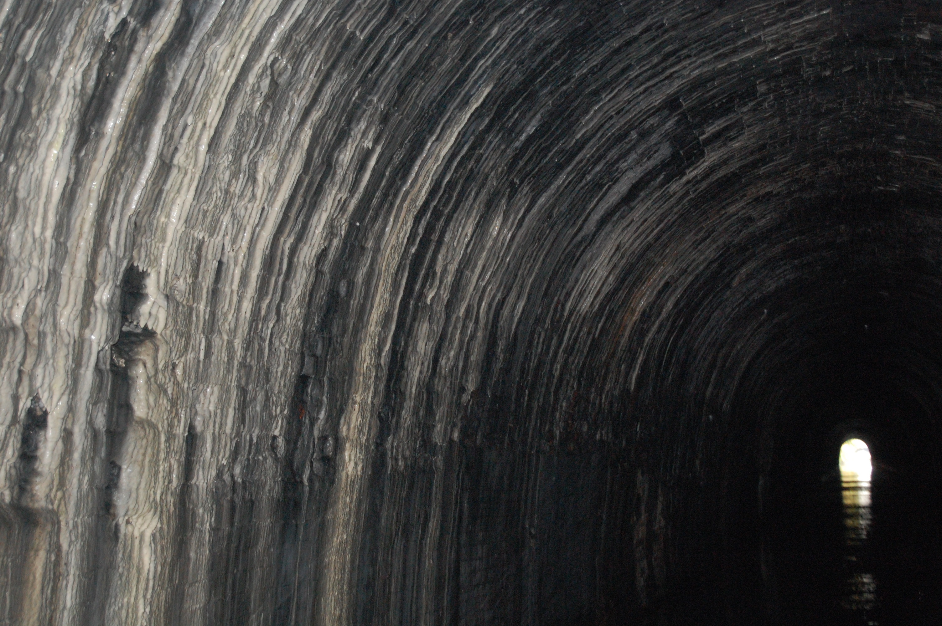
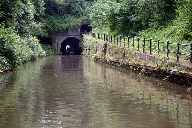
Shrewley Tunnel

Shrewley Tunnel is a canal tunnel near Shrewley, Warwickshire, England, which opened in 1799. It became part of the Grand Union Canal in 1929. == History... ==

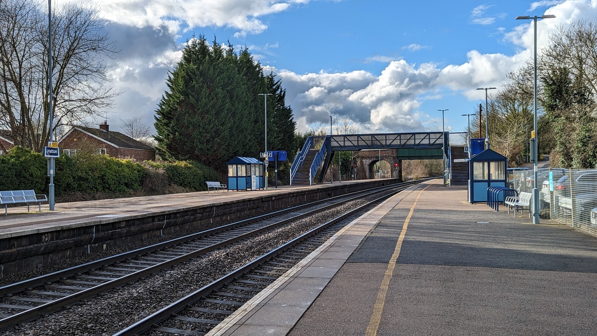
Hatton railway station (England)

Hatton railway station takes the name of the village of Hatton in Warwickshire, England, although it is about 1 mile (1.6 km) from the village. It is situated...

Mercia Mudstone Group

The Mercia Mudstone Group is an early Triassic lithostratigraphic group (a sequence of rock strata) which is widespread in Britain, especially in the English...

Rowington

Rowington is a village and civil parish in the English county of Warwickshire. It is five miles north-west of the town of Warwick and five miles south...

Hatton, Warwickshire

Hatton is a village and civil parish about 4 miles (6 km) west-northwest of Warwick, in the Warwick District of Warwickshire in England. The parish had...
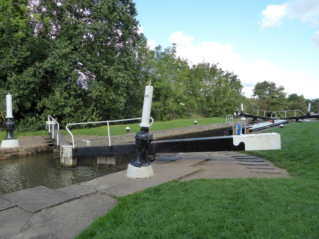
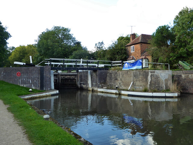
Hatton Locks

The Hatton Locks or Hatton Flight are a flight of 21 locks on the Grand Union Canal in Hatton, Warwickshire, England. The flight spans less than 2 miles...

Nearby Amenities

Located within 500m of 52.310383,-1.6709425
Barrier: stile
Lat/Long: 52.306433/-1.6743984
Barrier: stile
Lat/Long: 52.3072383/-1.6730426
Barrier: stile
Lat/Long: 52.3072964/-1.6728507
Barrier: stile
Lat/Long: 52.3078671/-1.6712843
Give Way
Direction: backward
Lat/Long: 52.3116685/-1.6779549
Give Way
Direction: forward
Lat/Long: 52.3114976/-1.6776003
Give Way
Direction: forward
Lat/Long: 52.3099566/-1.6745532
Information: guidepost
Tourism: information
Lat/Long: 52.3100535/-1.6746833
Material: wood
Operator: National Grid Electricity Distribution
Operator Wikidata: Q7988183
Power: pole
Source: bing
Lat/Long: 52.3063639/-1.6679639
Material: wood
Operator: National Grid Electricity Distribution
Operator Wikidata: Q7988183
Power: pole
Source: bing
Lat/Long: 52.3066993/-1.6689616
Material: wood
Operator: National Grid Electricity Distribution
Operator Wikidata: Q7988183
Power: pole
Source: bing
Lat/Long: 52.3070002/-1.6698816
Material: wood
Operator: National Grid Electricity Distribution
Operator Wikidata: Q7988183
Power: pole
Source: bing
Lat/Long: 52.307311/-1.6707641
Material: wood
Operator: National Grid Electricity Distribution
Operator Wikidata: Q7988183
Power: pole
Source: bing
Lat/Long: 52.3076537/-1.6722044
Material: wood
Operator: National Grid Electricity Distribution
Operator Wikidata: Q7988183
Power: pole
Ref: 931759
Source: wpd_opendata
Transformer: distribution
Lat/Long: 52.3073536/-1.6729474
Material: wood
Operator: National Grid Electricity Distribution
Operator Wikidata: Q7988183
Power: pole
Source: bing
Lat/Long: 52.3071355/-1.6741383
Material: wood
Operator: National Grid Electricity Distribution
Operator Wikidata: Q7988183
Power: pole
Source: bing
Lat/Long: 52.3070486/-1.6752863
The data included in this document is from www.openstreetmap.org. The data is made available under ODbL.

Have you been to Newland Wood?

Leave your review of Newland Wood below (or comments, questions and feedback).