Pithouse East Plantation
Wood, Forest in Durham
England
Pithouse East Plantation

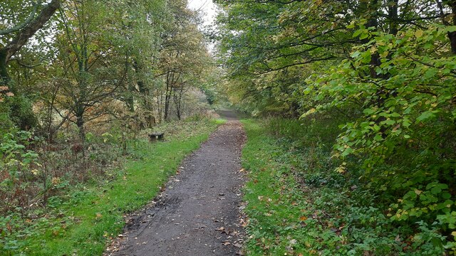
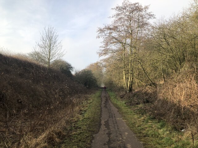
Pithouse East Plantation, located in Durham, North Carolina, is a wooded area known for its lush forest and natural beauty. The plantation is situated in the Wood and Forest neighborhoods, making it a popular destination for nature enthusiasts and outdoor adventurers.
Covering an area of approximately 100 acres, Pithouse East Plantation is characterized by its dense tree cover, primarily consisting of hardwoods such as oak, maple, and hickory. The forest floor is carpeted with a variety of native plants and wildflowers, creating a vibrant and diverse ecosystem. The plantation is also home to several small streams and creeks, adding to the overall serenity of the area.
Pithouse East Plantation offers a range of recreational activities for visitors to enjoy. Hiking and walking trails meander through the forest, providing opportunities for exploration and wildlife observation. The plantation is also a popular spot for birdwatching, with numerous species of birds calling the area home or using it as a resting place during migration.
The plantation is managed and maintained by the local authorities, ensuring the preservation of the natural habitat and the protection of the wildlife that inhabit it. Visitors are encouraged to respect the environment and follow any rules or guidelines that may be in place to safeguard the area.
Overall, Pithouse East Plantation is a tranquil and picturesque destination, offering a peaceful escape from the hustle and bustle of city life. Whether it's a leisurely stroll through the forest or a day spent birdwatching, visitors are sure to find solace and enjoyment in the natural beauty of this Durham treasure.
If you have any feedback on the listing, please let us know in the comments section below.
Pithouse East Plantation Images
Images are sourced within 2km of 54.754679/-1.6607049 or Grid Reference NZ2140. Thanks to Geograph Open Source API. All images are credited.


Pithouse East Plantation is located at Grid Ref: NZ2140 (Lat: 54.754679, Lng: -1.6607049)
Unitary Authority: County Durham
Police Authority: Durham
What 3 Words
///shimmered.thin.sprouting. Near Brandon, Co. Durham
Nearby Locations
Related Wikis

Brandon and Byshottles
Brandon and Byshottles is a civil parish and electoral ward in County Durham, England. According to the 2001 census it had a population of 17,774 increasing...

New Brancepeth
New Brancepeth is a village in County Durham, in England. It is about 3 miles (5 km) west of the centre of Durham, above the River Deerness. Its population...
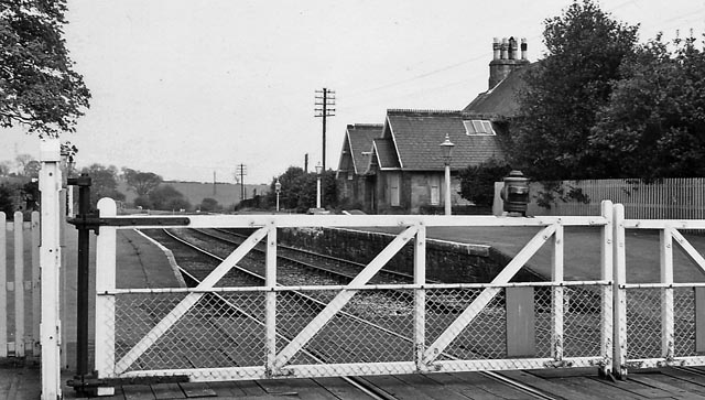
Brancepeth railway station
Brancepeth railway station served the village of Brancepeth, County Durham, North East England from 1857 to 1964 on the Durham to Bishop Auckland Line...
Brandon United F.C.
Brandon United Football Club is a football club based in Brandon, County Durham, England. They are currently members of the Northern League Division Two...
Nearby Amenities
Located within 500m of 54.754679,-1.6607049Have you been to Pithouse East Plantation?
Leave your review of Pithouse East Plantation below (or comments, questions and feedback).