Catcliff Wood

Wood, Forest in Derbyshire Derbyshire Dales

England

Catcliff Wood

Rutland Square, Bakewell The war memorial and Rutland Arms Hotel is seen in Rutland Square. A very successful 19th century coaching inn, the hotel building was constructed in 1804. The Grade I listed All Saints’ Church is seen in the background, parts of which date from the 12th century, although most of the structure was completely rebuilt in the mid-19th century.
Rutland Square, Bakewell Credit: Daniel Parks

Catcliff Wood is a picturesque woodland area located in Derbyshire, England. Covering an area of approximately 50 hectares, it is situated near the village of Eckington, just a few miles southeast of Sheffield. The wood is part of the larger Moss Valley Nature Reserve, providing a tranquil and serene environment for visitors to explore.

Catcliff Wood is characterized by its diverse range of flora and fauna, making it a haven for nature enthusiasts. The wood is primarily composed of native deciduous trees, including oak, birch, and beech, creating a stunning display of colors during the autumn months. The forest floor is adorned with an array of wildflowers, such as bluebells and primroses, adding to the wood's natural beauty.

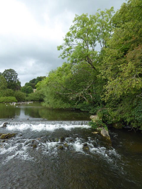
The wood is crisscrossed with a network of well-maintained footpaths, allowing visitors to easily navigate and appreciate the surroundings. These paths lead to various points of interest, including a small stream that meanders through the wood, adding to its charm.

Catcliff Wood is also home to a diverse range of wildlife. Birdwatchers can spot a variety of species, including woodpeckers, nuthatches, and jays. It is not uncommon to encounter small mammals like foxes and rabbits, as well as the occasional sighting of deer.

The wood offers a peaceful retreat for those seeking solace in nature. It is a popular spot for walking, picnicking, and photography. With its abundant natural beauty and tranquil atmosphere, Catcliff Wood is a must-visit destination for nature lovers in Derbyshire.

If you have any feedback on the listing, please let us know in the comments section below.

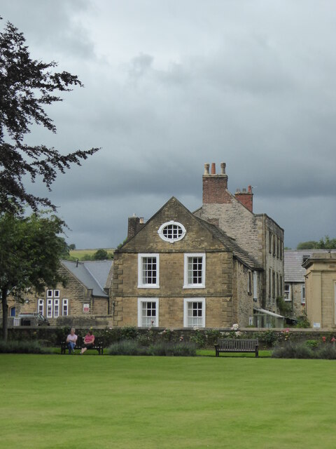
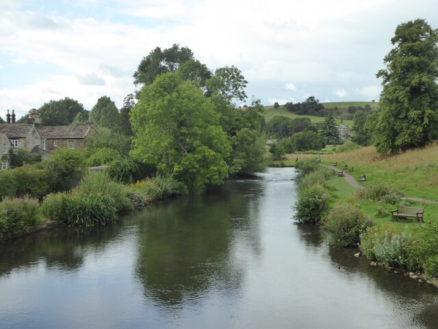
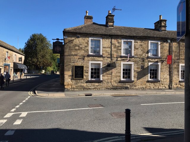
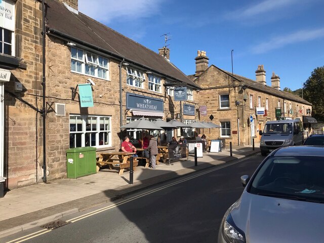
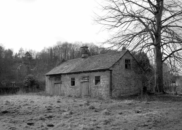
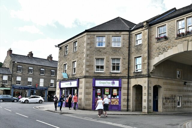
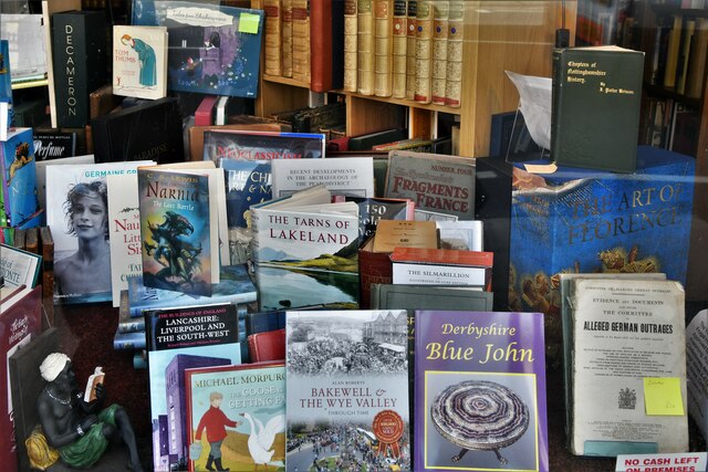
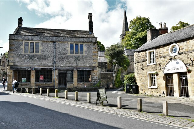
Catcliff Wood Images

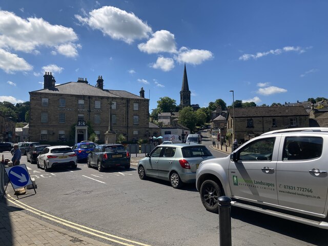
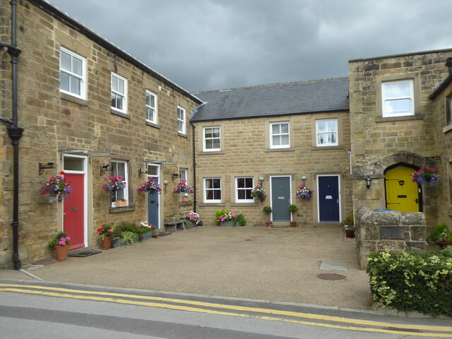
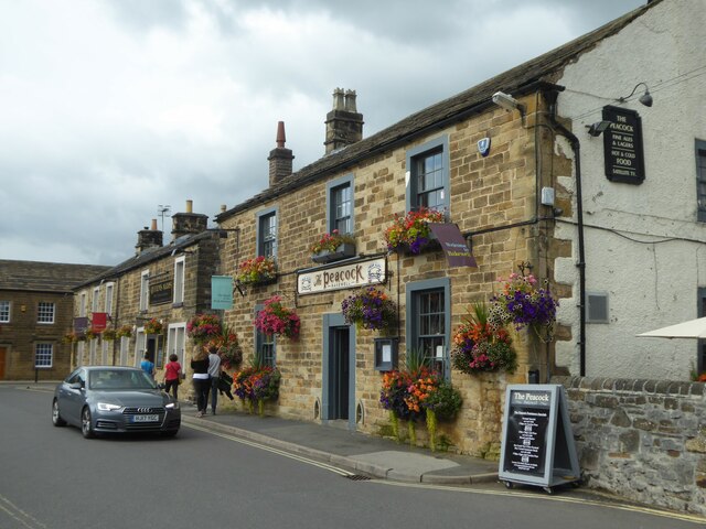
Images are sourced within 2km of 53.207225/-1.673087 or Grid Reference SK2167. Thanks to Geograph Open Source API. All images are credited.

Rutland Square, Bakewell The war memorial and Rutland Arms Hotel is seen in Rutland Square. A very successful 19th century coaching inn, the hotel building was constructed in 1804. The Grade I listed All Saints’ Church is seen in the background, parts of which date from the 12th century, although most of the structure was completely rebuilt in the mid-19th century.
Rutland Square, Bakewell
The war memorial and Rutland Arms Hotel is seen in Rutland Square. A very successful 19th century coaching inn, the hotel building was constructed in 1804. The Grade I listed All Saints’ Church is seen in the background, parts of which date from the 12th century, although most of the structure was completely rebuilt in the mid-19th century.
Houses in Rutland Mews Bakewell An attractive blend of old houses and a new building linking them together.
Houses in Rutland Mews Bakewell
An attractive blend of old houses and a new building linking them together.
Weir on the River Wye at Bakewell
The Peacock public house in Bakewell
House overlooking the bowling green in Bakewell
The River Wye upstream from the A619 in Bakewell
The sign of The Queens Arms See <a href="https://www.geograph.org.uk/photo/6984627">SK2168 : The Queens Arms</a>
The sign of The Queens Arms
The Queens Arms
The Queens Arms
The Wheatsheaf On Bridge Street, Bakewell.
The Wheatsheaf
On Bridge Street, Bakewell.
The sign of The Wheatsheaf See: <a href="https://www.geograph.org.uk/photo/6984633">SK2168 : The Wheatsheaf</a>.
The sign of The Wheatsheaf
The River Wye, Bakewell A weir seen from a footbridge with Bakewell Bridge in the background.
The River Wye, Bakewell
A weir seen from a footbridge with Bakewell Bridge in the background.
The River Wye seen from Bakewell Bridge The River Wye is a limestone river in the Peak District of Derbyshire. It is 15 miles in length, and is one of the major tributaries of the River Derwent, which flows into the River Trent.
The river rises on Axe Edge and flows east then south east to meet the Derwent near Rowsley. It has an impressive valley through Chee Dale and Monsal Dale.
The River Wye seen from Bakewell Bridge
The River Wye is a limestone river in the Peak District of Derbyshire. It is 15 miles in length, and is one of the major tributaries of the River Derwent, which flows into the River Trent. The river rises on Axe Edge and flows east then south east to meet the Derwent near Rowsley. It has an impressive valley through Chee Dale and Monsal Dale.
Bakewell Bridge Bakewell Bridge carries the A619 over the River Wye. It was originally constructed in the fourteenth century and was widemed in the nineteenth. It is a grade I listed structure.
Bakewell Bridge
Bakewell Bridge carries the A619 over the River Wye. It was originally constructed in the fourteenth century and was widemed in the nineteenth. It is a grade I listed structure.
Derelict barn, Scot's Garden, Bakewell
Bakewell: Grape Tree
Bakewell: Hawkridge Books window display
Bakewell, King Street
Show me another place!

Catcliff Wood is located at Grid Ref: SK2167 (Lat: 53.207225, Lng: -1.673087)

Administrative County: Derbyshire

District: Derbyshire Dales

Police Authority: Derbyshire

What 3 Words

///flap.violin.thudding. Near Bakewell, Derbyshire

Nearby Locations

Catcliff Wood

Related Wikis

Burton Closes

Burton Closes is a 19th-century country house, now in use as a residential nursing home, situated at Haddon Road, Bakewell, Derbyshire. It is a Grade II...

Bakewell Urban District

Bakewell was an Urban District in Derbyshire, England from 1894 to 1974. It was created under the Local Government Act 1894. The district was abolished...

Bakewell War Memorial

Bakewell War Memorial is a 20th-century grade II listed war memorial in Bakewell, Derbyshire. == History == The sandstone memorial is dedicated to the...

Lady Manners School

Lady Manners School is an English secondary school located in Bakewell, a market town in the Peak District National Park, Derbyshire. It was founded on...

Nearby Amenities

Located within 500m of 53.207225,-1.673087
Post Box
Operator: Royal Mail
Ref: DE45 1295
Lat/Long: 53.2071937/-1.6692599
Post Box
Operator: Royal Mail
Ref: DE45 562
Lat/Long: 53.2094448/-1.6725596
Fuel
The Co-operative
Addr City: Bakewell
Addr Postcode: DE45 1EP
Addr Street: Haddon Road
Brand: The Co-operative
Compressed Air: yes
Fhrs Id: 1626430
Operator: Central England Co-operative
Operator Wikidata: Q16986583
Website: https://stores.centralengland.coop/derbyshire/bakewell/haddon-road
Lat/Long: 53.2109076/-1.6734823
Post Box
Operator: Royal Mail
Ref: DE45 1293
Lat/Long: 53.2082009/-1.6796242
Post Box
Operator: Royal Mail
Post Box Type: lamp
Ref: DE45 1285D
Royal Cypher: EIIR
Royal Cypher Wikidata: Q33102113
Lat/Long: 53.2086846/-1.6777786
Bicycle Parking
Bicycle Parking: stands
Capacity: 6
Covered: no
Lat/Long: 53.2108104/-1.6716418
Note: 40 mph sign southbound, 30 mph sign northbound
Traffic Sign Backward: GB:670[30]
Traffic Sign Forward: GB:670[40]
Lat/Long: 53.2069192/-1.668716
Fuel
Park View Service Station
Addr City: Bakewell
Addr Postcode: DE45 1AW
Addr Street: Haddon Road
Brand: Murco
Compressed Air: yes
Fhrs Id: 1626689
Source: survey
Lat/Long: 53.2099754/-1.6727959
Pub
The Manners
Addr City: Bakewell
Addr Postcode: DE45 1EP
Addr Street: Haddon Road
Fhrs Id: 1663829
Indoor Seating: yes
Outdoor Seating: yes
Source: survey
Tourism: guest_house
Lat/Long: 53.2110896/-1.6742838
Avenue House
Source: survey
Tourism: guest_house
Lat/Long: 53.2105835/-1.6736964
Mapillary: 3123082221295169
Operator: BT
Payment Coins: no
Removed Amenity: telephone
Source: survey
Survey Date: 2021-07-17
Lat/Long: 53.2103858/-1.6729624
Barrier: kissing_gate
Lat/Long: 53.2103861/-1.6778346
Barrier: stile
Material: wood
Source: survey;gps
Stile: stepover
Lat/Long: 53.2041784/-1.676827
Barrier: stile
Material: stone
Source: survey;gps
Stile: squeezer
Lat/Long: 53.204557/-1.6764632
Barrier: stile
Material: stone
Source: survey;gps
Stile: squeezer
Lat/Long: 53.2053032/-1.676166
Barrier: stile
Material: stone
Source: survey;gps
Stile: squeezer
Lat/Long: 53.2055378/-1.6761205
Barrier: kissing_gate
Source: survey;gps
Lat/Long: 53.2087473/-1.673389
Toilets
Check Date: 2023-08-14
Fee: yes
Wheelchair: yes
Lat/Long: 53.210853/-1.6715057
Leisure: water_park
Opening Hours: Mo-Su 10:00-17:00
Lat/Long: 53.2089276/-1.6704321
Bench
Backrest: yes
Source: survey;gps
Lat/Long: 53.2094856/-1.6700592
Bench
Backrest: yes
Source: survey;gps
Lat/Long: 53.2095458/-1.6701584
Bench
Backrest: yes
Source: survey;gps
Lat/Long: 53.2096141/-1.6702537
Bench
Backrest: yes
Source: survey;gps
Lat/Long: 53.2096711/-1.6703449
Barrier: entrance
Source: survey;gps
Lat/Long: 53.2103578/-1.6728134
Barrier: entrance
Source: survey
Lat/Long: 53.2097388/-1.671968
Barrier: entrance
Source: survey
Lat/Long: 53.2088757/-1.6707893
Defibrillator
Access: yes
Check Date: 2023-03-09
Defibrillator Location: Outside the Co-Op
Emergency: defibrillator
Indoor: no
Ref GB The Circuit: 102210B3-6DB7-4CCA-B751-AC9C976DA605
Lat/Long: 53.2108984/-1.6733027
Generator Method: photovoltaic
Generator Output Electricity: yes
Generator Source: solar
Generator Type: solar_photovoltaic_panel
Location: roof
Power: generator
Lat/Long: 53.2049225/-1.6686698
Generator Method: photovoltaic
Generator Output Electricity: yes
Generator Source: solar
Generator Type: solar_photovoltaic_panel
Location: roof
Power: generator
Lat/Long: 53.2049964/-1.6688173
Generator Method: photovoltaic
Generator Output Electricity: yes
Generator Source: solar
Generator Type: solar_photovoltaic_panel
Location: roof
Power: generator
Lat/Long: 53.2050366/-1.6688978
Generator Method: photovoltaic
Generator Output Electricity: yes
Generator Source: solar
Generator Type: solar_photovoltaic_panel
Location: roof
Power: generator
Lat/Long: 53.2051748/-1.6679966
Generator Method: photovoltaic
Generator Output Electricity: yes
Generator Source: solar
Generator Type: solar_photovoltaic_panel
Location: roof
Power: generator
Lat/Long: 53.2053226/-1.6695147
Generator Method: photovoltaic
Generator Output Electricity: yes
Generator Source: solar
Generator Type: solar_photovoltaic_panel
Location: roof
Power: generator
Lat/Long: 53.2063138/-1.6695818
Generator Method: photovoltaic
Generator Output Electricity: yes
Generator Source: solar
Generator Type: solar_photovoltaic_panel
Location: roof
Power: generator
Lat/Long: 53.2084571/-1.6751648
Generator Method: photovoltaic
Generator Output Electricity: yes
Generator Source: solar
Generator Type: solar_photovoltaic_panel
Location: roof
Power: generator
Lat/Long: 53.2092394/-1.6763074
Generator Method: photovoltaic
Generator Output Electricity: yes
Generator Source: solar
Generator Type: solar_photovoltaic_panel
Location: roof
Power: generator
Lat/Long: 53.2098959/-1.6759969
Generator Method: photovoltaic
Generator Output Electricity: yes
Generator Source: solar
Generator Type: solar_photovoltaic_panel
Location: roof
Power: generator
Lat/Long: 53.2112805/-1.6744956
Generator Method: photovoltaic
Generator Output Electricity: yes
Generator Source: solar
Generator Type: solar_photovoltaic_panel
Location: roof
Power: generator
Lat/Long: 53.2107786/-1.6722304
Generator Method: photovoltaic
Generator Output Electricity: yes
Generator Source: solar
Generator Type: solar_photovoltaic_panel
Location: roof
Power: generator
Lat/Long: 53.2110939/-1.6724324
Generator Method: photovoltaic
Generator Output Electricity: yes
Generator Source: solar
Generator Type: solar_photovoltaic_panel
Location: roof
Power: generator
Lat/Long: 53.2111099/-1.6724941
Generator Method: photovoltaic
Generator Output Electricity: yes
Generator Source: solar
Generator Type: solar_photovoltaic_panel
Location: roof
Power: generator
Lat/Long: 53.2061008/-1.6793016
Generator Method: photovoltaic
Generator Output Electricity: yes
Generator Source: solar
Generator Type: solar_photovoltaic_panel
Location: roof
Power: generator
Lat/Long: 53.2048397/-1.6707855
Bus Stop
The Manners
Bench: no
Bin: no
Lit: yes
Naptan AtcoCode: 1000DBMS3184
Naptan NaptanCode: dbsgmagd
Public Transport: platform
Shelter: no
Tactile Paving: no
Lat/Long: 53.2105084/-1.6732129
Bus Stop
Holywell
Bench: no
Bin: no
Lit: no
Public Transport: platform
Shelter: no
Tactile Paving: no
Lat/Long: 53.2092715/-1.6716492
Bus Stop
Burton Close Drive
Bench: no
Bin: no
Check Date Bench: 2023-08-15
Lit: yes
Naptan AtcoCode: 1000DBMS3117
Naptan NaptanCode: dbsgmadp
Public Transport: platform
Shelter: no
Tactile Paving: no
Lat/Long: 53.2071434/-1.6688899
Bus Stop
Burton Close Drive
Bench: no
Bin: no
Lit: yes
Naptan AtcoCode: 1000DBMS3118
Naptan NaptanCode: dbsgmadt
Public Transport: platform
Shelter: no
Tactile Paving: no
Lat/Long: 53.2071466/-1.669026
Bench
Backrest: yes
Lat/Long: 53.2111244/-1.6713069
Bench
Backrest: yes
Lat/Long: 53.211188/-1.6710189
Bench
Backrest: yes
Lat/Long: 53.2111481/-1.6711664
Bench
Backrest: yes
Lat/Long: 53.2112964/-1.6712404
Bench
Backrest: yes
Lat/Long: 53.2112802/-1.670861
Bench
Backrest: yes
Lat/Long: 53.210971/-1.6759204
Bench
Backrest: yes
Lat/Long: 53.2110468/-1.676539
Bench
Backrest: yes
Lat/Long: 53.2110294/-1.6761254
Give Way
Direction: forward
Lat/Long: 53.2112331/-1.6740774
Give Way
Direction: backward
Lat/Long: 53.2108779/-1.6738605
Breezes
Frequency: 50
Location: outdoor
Power: substation
Lat/Long: 53.2114608/-1.6744539
The data included in this document is from www.openstreetmap.org. The data is made available under ODbL.

Have you been to Catcliff Wood?

Leave your review of Catcliff Wood below (or comments, questions and feedback).