Darnley Mill

Settlement in Renfrewshire

Scotland

Darnley Mill

Sainsbury's Car Park
Sainsbury's Car Park Credit: Josie Campbell

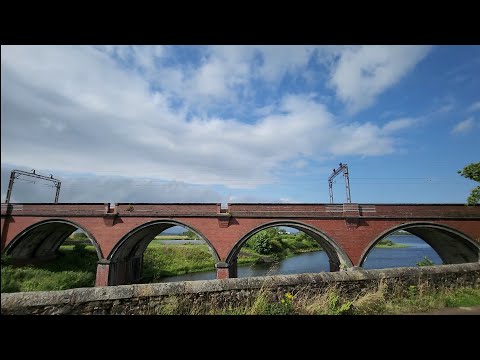
Darnley Mill is a small village located in the council area of Renfrewshire, Scotland. Situated about 10 miles southwest of Glasgow, it is nestled on the banks of the White Cart Water, a tributary of the River Clyde.

Originally, Darnley Mill was a thriving industrial town during the 19th century, known for its cotton mills and weaving industry. The village was named after the Darnley Bleachfields, which were established here in the 1780s. These bleachfields played a significant role in the production of cotton textiles and provided employment for many local residents.

Today, Darnley Mill has transformed into a residential area with a mix of old and new houses. Its picturesque setting, surrounded by rolling hills and scenic countryside, makes it an attractive place to live for those seeking a peaceful and rural environment. The village offers a range of amenities including a primary school, a local pub, and a village hall which serves as a community center for various events and activities.

Nature enthusiasts can enjoy exploring the nearby countryside, which offers opportunities for walking, hiking, and birdwatching. The nearby Dams to Darnley Country Park is a popular destination for outdoor activities, featuring woodland, wetlands, and a variety of wildlife.

Darnley Mill benefits from good transport links, with easy access to the M77 motorway, providing convenient connections to Glasgow and other parts of Renfrewshire. Additionally, regular bus services connect the village to nearby towns and cities.

Overall, Darnley Mill offers a charming and peaceful place to reside, with a rich industrial history and a picturesque natural setting.

If you have any feedback on the listing, please let us know in the comments section below.
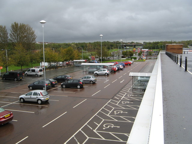
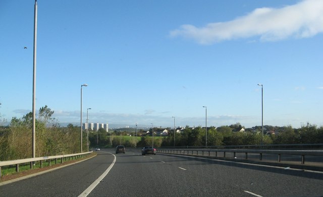
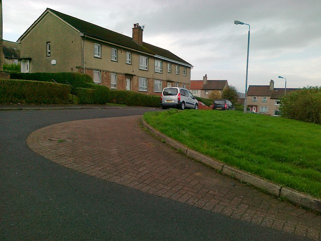
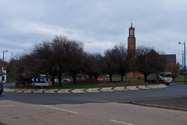
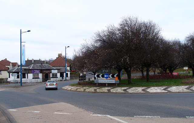
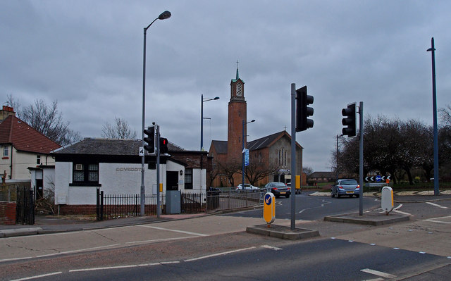
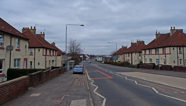
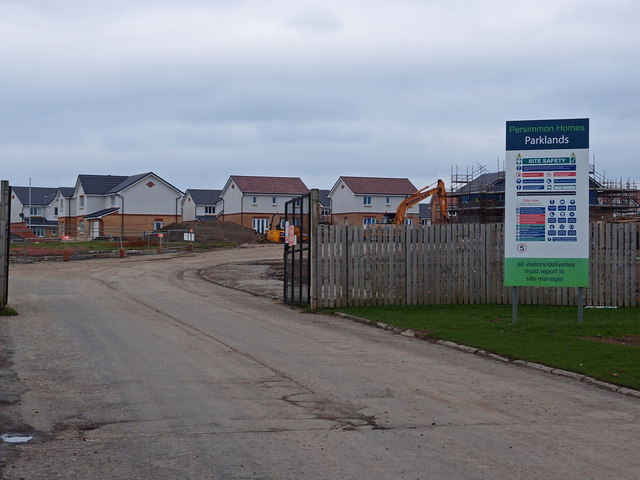
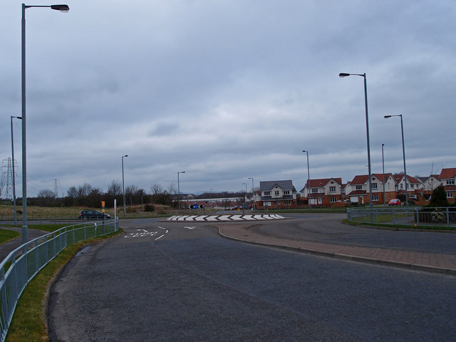
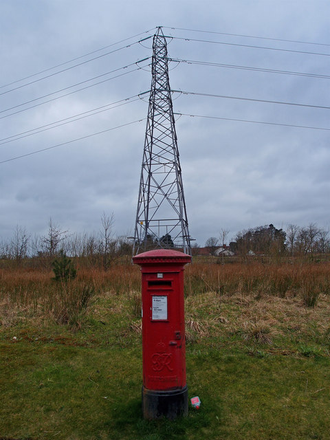
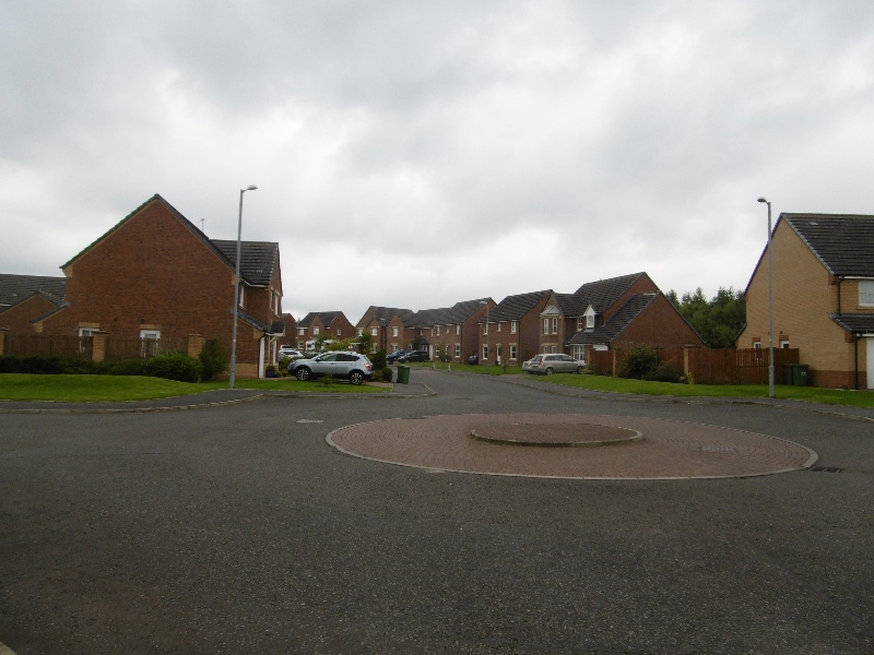
Darnley Mill Images

Images are sourced within 2km of 55.801545/-4.3626807 or Grid Reference NS5259. Thanks to Geograph Open Source API. All images are credited.

Sainsbury's Car Park
M77 going north before Junction 3 You can see Glasgow in the distance
M77 going north before Junction 3
You can see Glasgow in the distance
Bourock Square, Barrhead
Junction, Main Street, Barrhead Looking along Main Street to shops.
Junction, Main Street, Barrhead
Looking along Main Street to shops.
Dovecothall Roundabout, Barrhead St John's Catholic Church sits beside this busy roundabout on the A736.
Dovecothall Roundabout, Barrhead
St John's Catholic Church sits beside this busy roundabout on the A736.
Dovecothall Roundabout, Barrhead Dovecote Pub.
Dovecothall Roundabout, Barrhead
Dovecote Pub.
Dovecothall Roundabout, Barrhead St John's Catholic Church sits beside this busy roundabout on the A736 as does the Dovecote Pub.
Dovecothall Roundabout, Barrhead
St John's Catholic Church sits beside this busy roundabout on the A736 as does the Dovecote Pub.
Glasgow Road, Barrhead A736
Glasgow Road, Barrhead
A736
South Nitshill More houses.
South Nitshill
More houses.
South Nitshill Looking towards a roundabout on the B773 Parkhouse Road. This area is covered in new housing.
South Nitshill
Looking towards a roundabout on the B773 Parkhouse Road. This area is covered in new housing.
Postbox and Pylon, South Nitshill, Barrhead
Open area, Barrhead
Open area, Barrhead
Start of the path along Ryat Linn Reservoir
North end of Ryatt Linn reservoir A path runs along the north end of the Ryatt Linn reservoir, seen here to the right. Behind, to the left, is the railway bridge over the Waulkmill Glen reservoir (<a href="https://www.geograph.org.uk/photo/1870372">NS5257 : Railway bridge over Waulkmill Glen Reservoir</a>).
North end of Ryatt Linn reservoir
A path runs along the north end of the Ryatt Linn reservoir, seen here to the right. Behind, to the left, is the railway bridge over the Waulkmill Glen reservoir (NS5257 : Railway bridge over Waulkmill Glen Reservoir).
Waulkmill Glen viaduct and Ryatt Linn outflow The photo looks from the north end of the Ryatt Linn reservoir towards the railway viaduct that carries the Neilston line trains over the Waulkmill Glen reservoir. The outflow from the Ryatt Linn reservoir is in the foreground at left.
Waulkmill Glen viaduct and Ryatt Linn outflow
The photo looks from the north end of the Ryatt Linn reservoir towards the railway viaduct that carries the Neilston line trains over the Waulkmill Glen reservoir. The outflow from the Ryatt Linn reservoir is in the foreground at left.
South end of Ryatt Linn reservoir Between Newton Mearns and Barrhead, Aurs Road, known locally as the "reservoirs road", passes between Balgray and Ryatt Linn reservoirs. This picture looks north from the path that leads from Aurs Road to Ryatt Linn reservoir and beyond; an area popular with walkers, cyclists, anglers, etc. The stream in the foreground runs parallel to the road and eventually into Littleton Reservoir.
South end of Ryatt Linn reservoir
Between Newton Mearns and Barrhead, Aurs Road, known locally as the "reservoirs road", passes between Balgray and Ryatt Linn reservoirs. This picture looks north from the path that leads from Aurs Road to Ryatt Linn reservoir and beyond; an area popular with walkers, cyclists, anglers, etc. The stream in the foreground runs parallel to the road and eventually into Littleton Reservoir.
Ryatt Linn Reservoir and Ryatt Farm The picture looks across the reservoir from its west side. Ryatt Farm can be seen above the far side of the reservoir.
Ryatt Linn Reservoir and Ryatt Farm
The picture looks across the reservoir from its west side. Ryatt Farm can be seen above the far side of the reservoir.
Swan on Waulkmill Glen Reservoir Dark clouds hang over most of the reservoir but the swan is illuminated by late afternoon rays of sunshine.
Swan on Waulkmill Glen Reservoir
Dark clouds hang over most of the reservoir but the swan is illuminated by late afternoon rays of sunshine.
Show me another place!

Darnley Mill is located at Grid Ref: NS5259 (Lat: 55.801545, Lng: -4.3626807)

Unitary Authority: City of Glasgow

Police Authority: Greater Glasgow

What 3 Words

///impact.formal.enhancement. Near Barrhead, East Renfrewshire

Related Wikis

Parkhouse, Glasgow G53

Parkhouse is a residential neighbourhood of Glasgow, Scotland close to the border with East Renfrewshire. It is located on the south-western edge of the...

South Nitshill

South Nitshill (Scottish Gaelic: Cnoc nan Cnòthan a Deas) is a neighbourhood in the Scottish city of Glasgow. It is situated south of the River Clyde,...

Darnley Lime Works Tramway and Mineral Railway

The Darnley Lime Works Tramway and Mineral Railway consisted of a narrow gauge field railway and probably a standard gauge works railway at today's Dams...

Southpark Village

Southpark Village is a housing estate in the Darnley area of the Scottish city of Glasgow. The northwestern area was built during the mid to late 1980s...

Related Videos

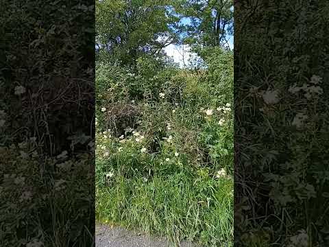
Walking in Nature, hearing the Wildlife...

Walking in the Barrhead Dams, Scotland. Listening to the birds and looking at the breeze gently moving the shrubs and plants.

Walking to Dams to Darnley Country Park, Scotland (HEVC, H.265)

Spacer przez Dams to Darnley Country Park, Szkocja.

Nearby Amenities

Located within 500m of 55.801545,-4.3626807
Power: tower
Lat/Long: 55.7976698/-4.3667022
Power: tower
Lat/Long: 55.8005952/-4.3663107
Power: tower
Lat/Long: 55.8036098/-4.3659018
The data included in this document is from www.openstreetmap.org. The data is made available under ODbL.

Have you been to Darnley Mill?

Leave your review of Darnley Mill below (or comments, questions and feedback).