Coppice Plantation

Wood, Forest in Derbyshire Derbyshire Dales

England

Coppice Plantation

Rodsley village A farm on the edge of Rodsley village. Rodsley is more of a hamlet than a village as it is very small.
Rodsley village Credit: Malcolm Neal

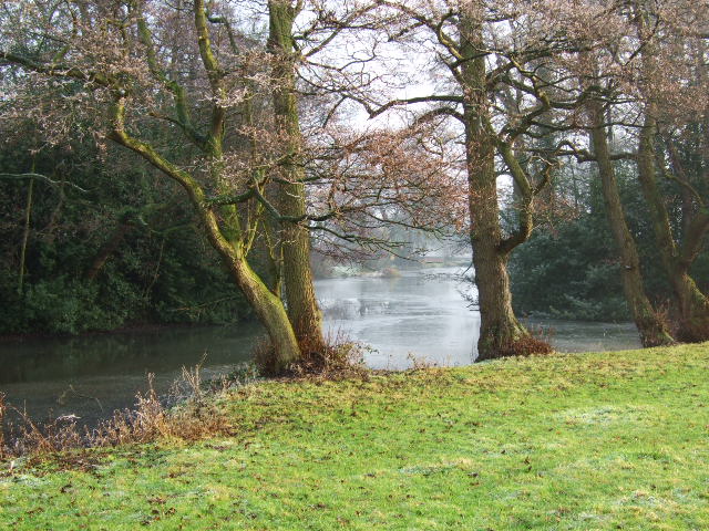
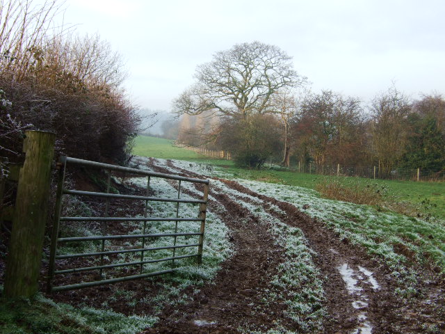
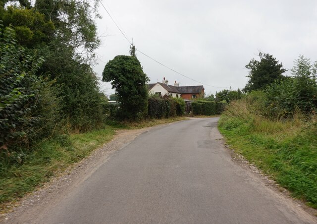
Coppice Plantation is a picturesque woodland located in the county of Derbyshire, England. Situated in the heart of the Peak District National Park, this enchanting forest covers an area of approximately 100 acres. With its stunning natural beauty and diverse range of flora and fauna, Coppice Plantation has become a popular destination for nature enthusiasts and outdoor lovers.

The woodland is primarily composed of coppiced trees, which are regularly cut down to encourage new growth. This traditional method of woodland management has been practiced for centuries and helps to maintain a healthy and sustainable ecosystem. As a result, visitors to Coppice Plantation can witness a vibrant and ever-changing landscape throughout the year.

The plantation is home to a wide variety of tree species, including oak, ash, birch, and beech. These trees provide a rich habitat for numerous bird species, such as woodpeckers, owls, and songbirds. Additionally, the forest floor is adorned with a carpet of wildflowers, including bluebells, primroses, and foxgloves, creating a stunning display of colors during the spring and summer months.

Coppice Plantation offers several walking trails, allowing visitors to explore the woodland at their own pace. These paths wind through the forest, providing opportunities for peaceful walks, birdwatching, and photography. The tranquil atmosphere of the woodland makes it an ideal place for relaxation and contemplation.

Overall, Coppice Plantation in Derbyshire is a true natural gem, offering visitors a chance to immerse themselves in the beauty of the British countryside. With its diverse flora and fauna, scenic trails, and serene atmosphere, this woodland is a must-visit destination for nature enthusiasts and those seeking a peaceful escape from the hustle and bustle of everyday life.

If you have any feedback on the listing, please let us know in the comments section below.

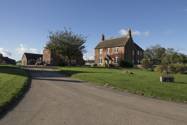
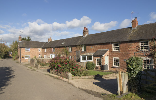
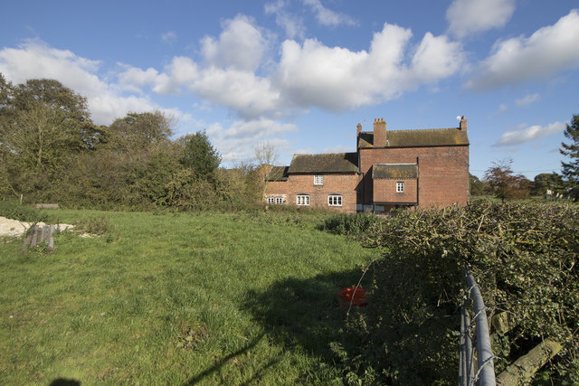
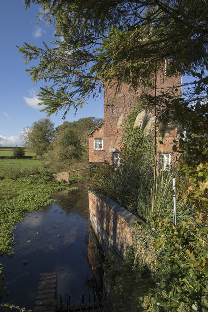
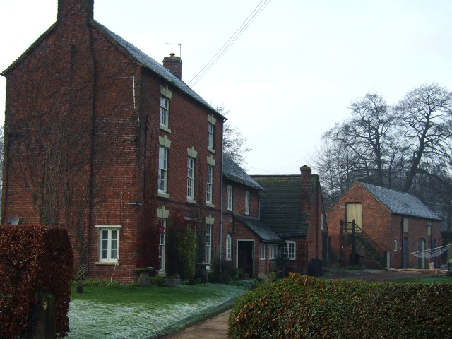
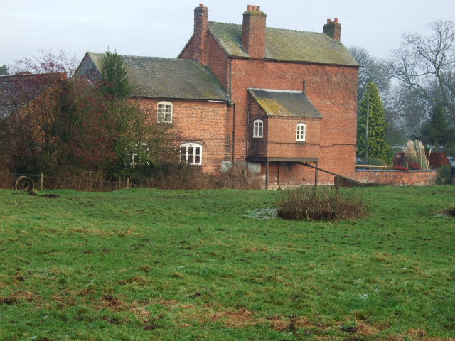
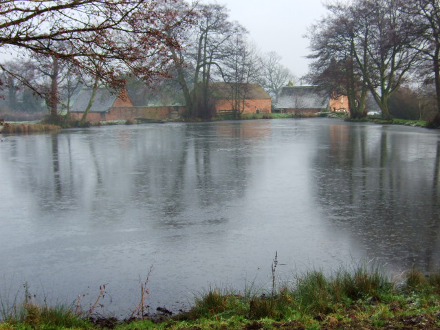
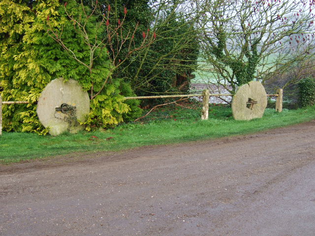
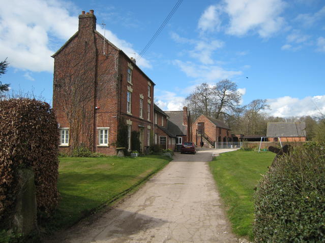
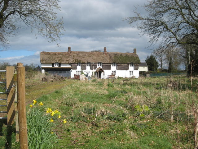
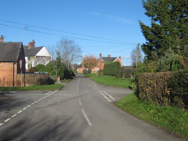
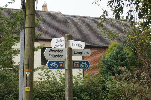
Coppice Plantation Images

Images are sourced within 2km of 52.949723/-1.6794505 or Grid Reference SK2139. Thanks to Geograph Open Source API. All images are credited.

Rodsley village A farm on the edge of Rodsley village. Rodsley is more of a hamlet than a village as it is very small.
Rodsley village
A farm on the edge of Rodsley village. Rodsley is more of a hamlet than a village as it is very small.
A cottage terrace in Rodsley This short terrace of cottages looks very quaint and picturesque, in Rodsley village.
A cottage terrace in Rodsley
This short terrace of cottages looks very quaint and picturesque, in Rodsley village.
Shirley Mill Farm Shirley Mill Farm is very aptly named, as a stream passes to this side of the building you can see and I am sure there used to be a mill at this point.
Shirley Mill Farm
Shirley Mill Farm is very aptly named, as a stream passes to this side of the building you can see and I am sure there used to be a mill at this point.
Shirley Mill Farm The mill race runs right by the house that used to be a mill, or so I guess from the name of the farm. Beyond the building in the image is a large pond that would have provided a regular source of water for the mill.
Shirley Mill Farm
The mill race runs right by the house that used to be a mill, or so I guess from the name of the farm. Beyond the building in the image is a large pond that would have provided a regular source of water for the mill.
New growth in the field Yet another field showing fresh growth in a field near Shirley.
New growth in the field
Yet another field showing fresh growth in a field near Shirley.
Shirley Mill Farmhouse
Shirley Mill Farmhouse. Rear of the current farmhouse showing some of the old mill features.
Shirley Mill Farmhouse.
Rear of the current farmhouse showing some of the old mill features.
Shirley Mill Pond. Taken from the footpath looking across the frozen pond to the old mill buildings.
Shirley Mill Pond.
Taken from the footpath looking across the frozen pond to the old mill buildings.
Grindstones at Shirley Mill. Disused grindstones now at the entrance to Shirley Mill.
Grindstones at Shirley Mill.
Disused grindstones now at the entrance to Shirley Mill.
Frozen pond and trees. Edge of Shirley Millpond.
Frozen pond and trees.
Edge of Shirley Millpond.
Footpath to Shirley Lodge. Start of the path up to Shirley Lodge from the millpond.
Footpath to Shirley Lodge.
Start of the path up to Shirley Lodge from the millpond.
Rodsley Looking along the dead-end lane in the SE corner of this rather scattered village.
Rodsley
Looking along the dead-end lane in the SE corner of this rather scattered village.
Rodsley A nicely well tended verge and display of daffodils on the road into the village from Shirley.
Rodsley
A nicely well tended verge and display of daffodils on the road into the village from Shirley.
Shirley Mill Farm The valley of the Shirley Brook was dammed to power several mills.  The mill wheel here was at the rear of the tall building to the left as can be seen in <a href="https://www.geograph.org.uk/photo/297707">SK2140 : Shirley Mill Farmhouse.</a>.
Shirley Mill Farm
The valley of the Shirley Brook was dammed to power several mills. The mill wheel here was at the rear of the tall building to the left as can be seen in SK2140 : Shirley Mill Farmhouse..
Thatched cottages near Shirley This thatched building, with distinctive thatched panels between the first floor windows, is beside the road into Shirley from Rodsley.  The building may have originally been a row of individual cottages but appears to have been modernised and extended with a garage block to the left.  It does now appear to be in need of a little tlc.
Thatched cottages near Shirley
This thatched building, with distinctive thatched panels between the first floor windows, is beside the road into Shirley from Rodsley. The building may have originally been a row of individual cottages but appears to have been modernised and extended with a garage block to the left. It does now appear to be in need of a little tlc.
Rodsley, Derbyshire The village of Rodsley in Derbyshire.
Rodsley, Derbyshire
The village of Rodsley in Derbyshire.
Road sign, Rodsley
Road sign, Rodsley
The Cottage on Shirley Lane, Rodsley
Show me another place!

Coppice Plantation is located at Grid Ref: SK2139 (Lat: 52.949723, Lng: -1.6794505)

Administrative County: Derbyshire

District: Derbyshire Dales

Police Authority: Derbyshire

What 3 Words

///genetics.snooping.whirlwind. Near Mayfield, Staffordshire

Related Wikis

St Chad's Church, Longford

St Chad's Church, Longford is a Grade I listed parish church in the Church of England in Longford, Derbyshire. == History == The church dates from the...

Longford, Derbyshire

Longford is a village and civil parish in Derbyshire Dales district, Derbyshire, England. The population of the civil parish as of the 2011 census was...

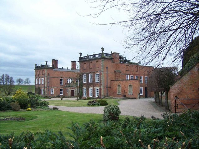
Longford Hall, Derbyshire

Longford Hall is a 16th-century country house at Longford in the Dales district of Derbyshire, England. It is a Grade II* listed building.The hall was...

Hollington, Derbyshire

Hollington is a village and civil parish near the town of Uttoxeter and 5.5 miles (8.9 km) from the city of Derby, in the English county of Derbyshire...

Rodsley

Rodsley is a small village and civil parish about 4 miles (6 km) south of Ashbourne in Derbyshire. As the population of the village was less than 100 at...

Shirley, Derbyshire

Shirley is a small village and civil parish in Derbyshire, 4 miles (6 km) south-east of Ashbourne. The population of the civil parish as taken at the 2011...

St Michael's Church, Shirley

St Michael's Church, Shirley is a Grade II* listed parish church in the Church of England: 318  in Shirley, Derbyshire. == History == The church dates...

Alkmonton medieval settlement

Alkmonton medieval settlement is an archaeological site, a deserted medieval village near the present-day village of Alkmonton, about 5 miles (8 km) south...

Nearby Amenities

Located within 500m of 52.949723,-1.6794505
Ele: 85.0000000
Lat/Long: 52.9528038/-1.6778011
Ele: 84.0000000
Lat/Long: 52.9493972/-1.6785629
Ele: 84.0000000
Lat/Long: 52.9458281/-1.6770604
Ele: 85.0000000
Lat/Long: 52.9500695/-1.6783805
Ele: 84.0000000
Lat/Long: 52.9456736/-1.6769965
Ele: 85.0000000
Lat/Long: 52.9535624/-1.6774322
Ele: 90.0000000
Lat/Long: 52.9528762/-1.6752302
Ele: 90.0000000
Lat/Long: 52.9528423/-1.6751953
Barrier: stile
Ele: 90.0000000
Steps: 0
Stile: stepover
Lat/Long: 52.9528496/-1.675202
Barrier: stile
Ele: 90.0000000
Steps: 0
Stile: stepover
Lat/Long: 52.9528665/-1.6752194
Ele: 89.0000000
Lat/Long: 52.9529282/-1.6804805
Ele: 89.0000000
Lat/Long: 52.9529548/-1.6808753
Ele: 88.0000000
Lat/Long: 52.952922/-1.680416
Barrier: stile
Steps: 2
Stile: stepover
Lat/Long: 52.9466786/-1.6751016
The data included in this document is from www.openstreetmap.org. The data is made available under ODbL.

Have you been to Coppice Plantation?

Leave your review of Coppice Plantation below (or comments, questions and feedback).