Finny Plantation
Wood, Forest in Derbyshire Derbyshire Dales
England
Finny Plantation

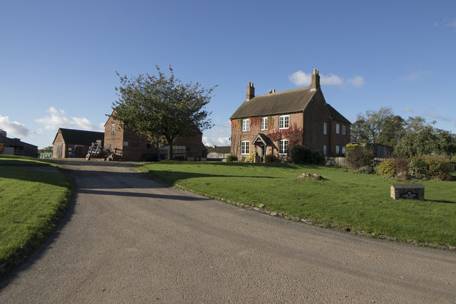
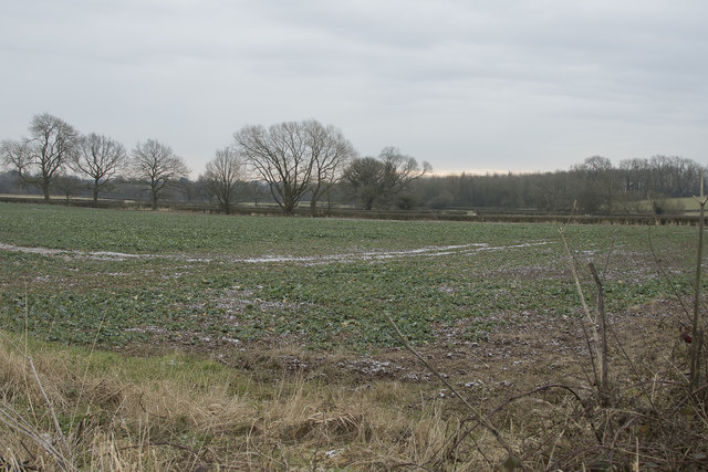
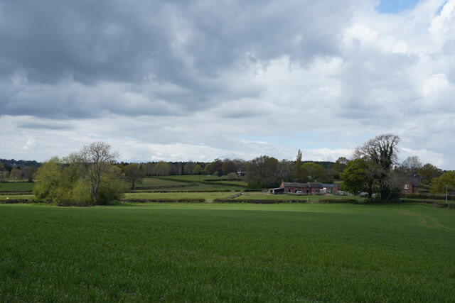
Finny Plantation is a picturesque woodland area located in the heart of Derbyshire, England. Known for its lush greenery and dense forest, it covers an expansive area of approximately 100 acres. The plantation is situated amidst the rolling hills of Derbyshire, providing visitors with stunning views of the surrounding countryside.
The woodland is predominantly composed of a variety of deciduous trees, including oak, beech, and birch, which create a vibrant and diverse ecosystem. These trees have been carefully preserved and maintained over the years, resulting in a healthy and flourishing forest. The plantation is also home to a wide range of wildlife, including deer, squirrels, and numerous bird species, making it a popular destination for nature enthusiasts and birdwatchers.
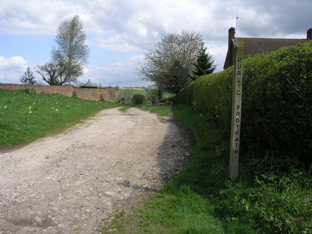
Visitors to Finny Plantation can enjoy a range of activities, such as hiking, cycling, and picnicking. There are several well-maintained trails that wind their way through the plantation, providing opportunities for leisurely walks or more challenging hikes. The peaceful atmosphere and tranquility of the woodland make it an ideal spot for relaxation and escape from the hustle and bustle of city life.
The plantation is open to the public throughout the year, with admission fees contributing to the preservation and conservation efforts of the woodland. Additionally, guided tours and educational programs are available for those interested in learning more about the local flora and fauna.
In conclusion, Finny Plantation is a beautiful and diverse woodland area in Derbyshire, offering visitors a chance to immerse themselves in nature and experience the serenity of the countryside. With its stunning scenery and abundant wildlife, it is a must-visit destination for nature lovers and outdoor enthusiasts.
If you have any feedback on the listing, please let us know in the comments section below.
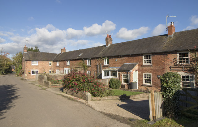
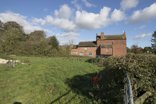
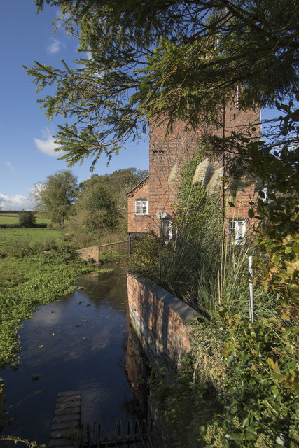
Finny Plantation Images
Images are sourced within 2km of 52.955865/-1.6804471 or Grid Reference SK2139. Thanks to Geograph Open Source API. All images are credited.


Finny Plantation is located at Grid Ref: SK2139 (Lat: 52.955865, Lng: -1.6804471)
Administrative County: Derbyshire
District: Derbyshire Dales
Police Authority: Derbyshire
What 3 Words
///cartoons.pouting.boards. Near Mayfield, Staffordshire
Nearby Locations
Related Wikis

Hollington, Derbyshire
Hollington is a village and civil parish near the town of Uttoxeter and 5.5 miles (8.9 km) from the city of Derby, in the English county of Derbyshire...

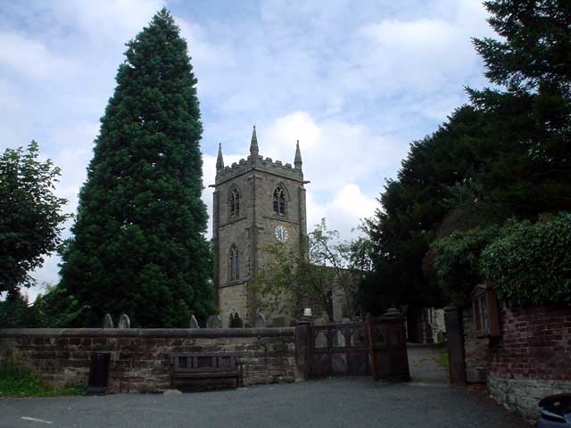
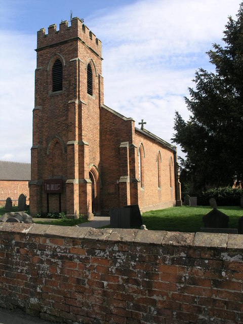
St Chad's Church, Longford
St Chad's Church, Longford is a Grade I listed parish church in the Church of England in Longford, Derbyshire. == History == The church dates from the...

Rodsley
Rodsley is a small village and civil parish about 4 miles (6 km) south of Ashbourne in Derbyshire. As the population of the village was less than 100 at...
Longford, Derbyshire
Longford is a village and civil parish in Derbyshire Dales district, Derbyshire, England. The population of the civil parish as of the 2011 census was...
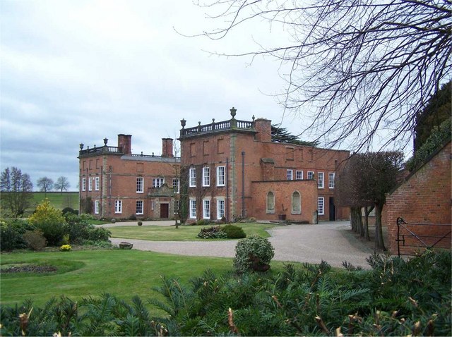
Longford Hall, Derbyshire
Longford Hall is a 16th-century country house at Longford in the Dales district of Derbyshire, England. It is a Grade II* listed building.The hall was...

Shirley, Derbyshire
Shirley is a small village and civil parish in Derbyshire, 4 miles (6 km) south-east of Ashbourne. The population of the civil parish as taken at the 2011...

St Michael's Church, Shirley
St Michael's Church, Shirley is a Grade II* listed parish church in the Church of England: 318 in Shirley, Derbyshire. == History == The church dates...
Yeaveley
Yeaveley is a small village and civil parish near Rodsley and 4 miles south of Ashbourne in Derbyshire. The population of the civil parish (including Rodsley...
Nearby Amenities
Located within 500m of 52.955865,-1.6804471Have you been to Finny Plantation?
Leave your review of Finny Plantation below (or comments, questions and feedback).