Darleyhall

Settlement in Hertfordshire North Hertfordshire

England

Darleyhall

Green by Luton Road, Cockernhoe
Green by Luton Road, Cockernhoe Credit: David Howard

Darleyhall is a picturesque village nestled in the county of Hertfordshire, England. Located approximately 30 miles north of London, it offers a peaceful and idyllic countryside setting while still providing easy access to the capital city.

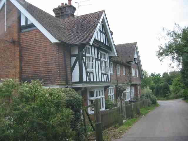
The village boasts a rich history dating back several centuries. Its name can be traced back to the medieval period when it was known as "Derleia," meaning "clearing frequented by deer." The remnants of this history can still be seen today in the charming architecture and historic landmarks that dot the area.

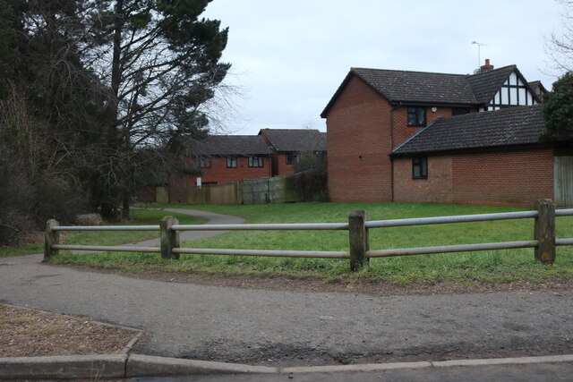
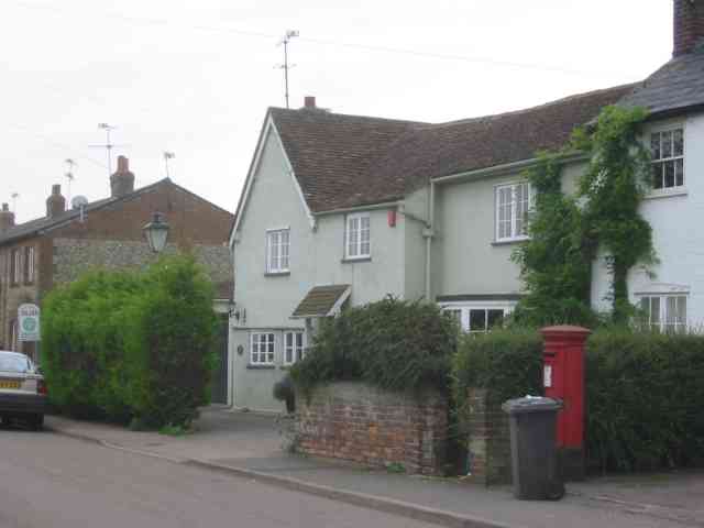
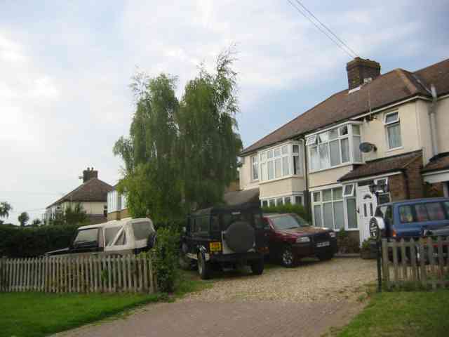
Darleyhall is primarily a residential area, with a close-knit community that takes pride in its beautiful surroundings. The village is characterized by its well-maintained, traditional cottages and period houses, giving it a timeless and quintessentially English charm. The tranquil atmosphere and lush greenery make it an ideal location for those seeking a peaceful retreat from the hustle and bustle of city life.

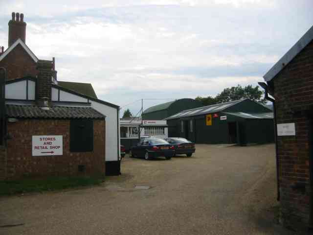
Despite its small size, Darleyhall offers a range of amenities to cater to its residents' needs. There is a village shop that provides daily essentials, as well as a local pub where locals gather for a pint and friendly conversation. The village also benefits from excellent transport links, with a nearby railway station and easy access to major roads, making it convenient for commuters.

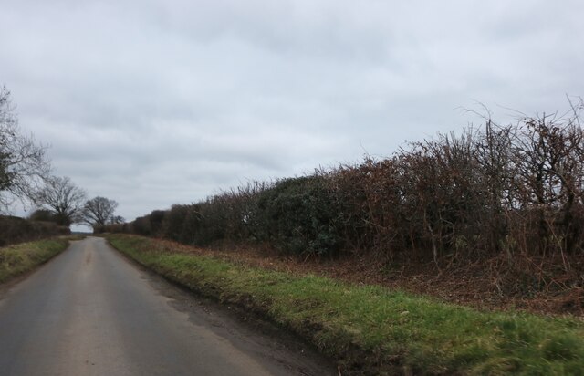
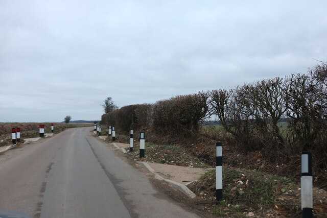
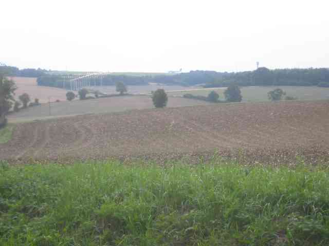
Surrounding Darleyhall are vast expanses of beautiful countryside, perfect for leisurely walks and outdoor activities. The village is also within close proximity to several notable attractions, including historic landmarks, nature reserves, and charming market towns, making it an ideal base for exploring the wider Hertfordshire area.

Overall, Darleyhall offers a peaceful and picturesque retreat with a rich history, friendly community, and convenient location, making it a highly desirable place to live.

If you have any feedback on the listing, please let us know in the comments section below.
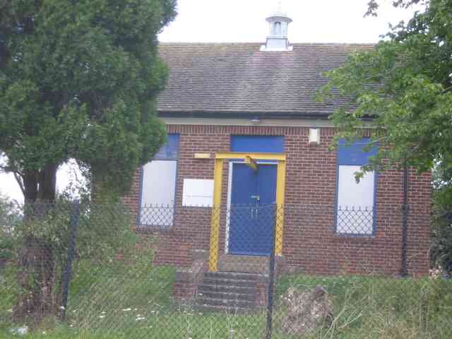
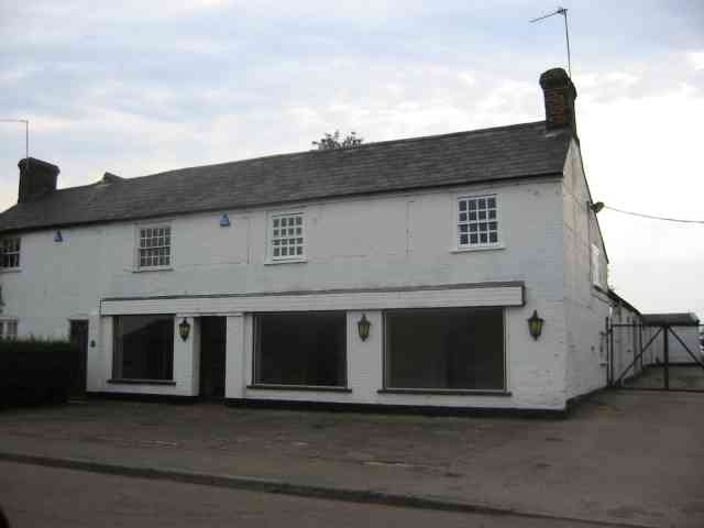
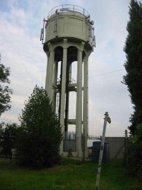
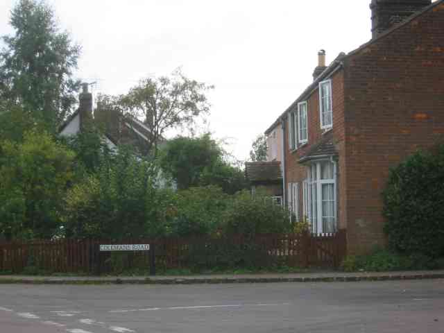
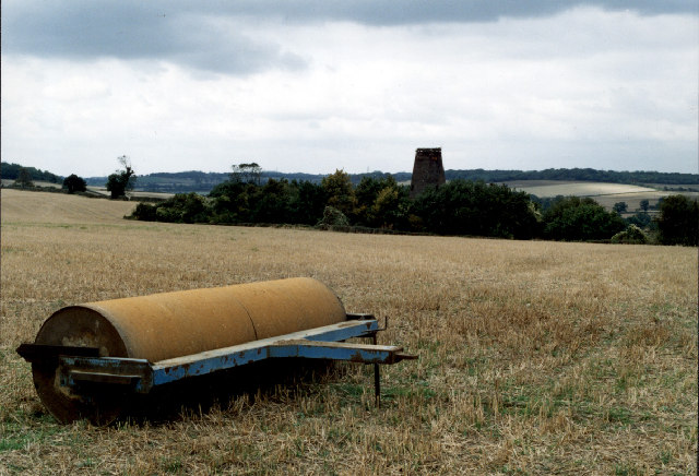
Darleyhall Images

Images are sourced within 2km of 51.88895/-0.341114 or Grid Reference TL1422. Thanks to Geograph Open Source API. All images are credited.

Green by Luton Road, Cockernhoe
Chalk Hill, Cockernhoe
Chalk Hill, Cockernhoe These new mysterious kerbs may be for drainage as a new ditch has been dug where they lead to.
Chalk Hill, Cockernhoe
These new mysterious kerbs may be for drainage as a new ditch has been dug where they lead to.
Wandon Green Farm The yard looks to be unused but that is simply a surmise. It was Sunday after all.
Wandon Green Farm
The yard looks to be unused but that is simply a surmise. It was Sunday after all.
Houses on Church Road King's Walden They have a solid Edwardian ambience.
Houses on Church Road King's Walden
They have a solid Edwardian ambience.
Pumping Station at King's Walden This design has a sorry look about it
Pumping Station at King's Walden
This design has a sorry look about it
Empty showrooms at Breachwood  Green Was this once a car sales emporium?
Yes it used to sell SAAB cars.
Empty showrooms at Breachwood Green
Was this once a car sales emporium? Yes it used to sell SAAB cars.
House next door to the showrooms House and showrooms <a title="https://www.geograph.org.uk/photo/47777" href="https://www.geograph.org.uk/photo/47777">Link</a> would seem to have a relationship of owner perhaps.
House next door to the showrooms
House and showrooms Link would seem to have a relationship of owner perhaps.
End of runway lights seen from Lye Hill Breachwood Green At least the planes are on the landing approach so are relatively quiet.
End of runway lights seen from Lye Hill Breachwood Green
At least the planes are on the landing approach so are relatively quiet.
Houses in Lye Hill  Breachwood Green These houses look as if they were once local authority owned before the right to purchase was introduced. They are right in line for the airport approach.
Houses in Lye Hill Breachwood Green
These houses look as if they were once local authority owned before the right to purchase was introduced. They are right in line for the airport approach.
Buildings at Winch Hill Farm The farmyard appears unused
Buildings at Winch Hill Farm
The farmyard appears unused
Farm Machinery depot at Wandon End Parked cars means that there are people inside the buildings.
Farm Machinery depot at Wandon End
Parked cars means that there are people inside the buildings.
Farm Machinery depot at Wandon End The front loader scoops and the Cambridge roll further into the yard confirm that this is a depot for agricultural machinery.
Farm Machinery depot at Wandon End
The front loader scoops and the Cambridge roll further into the yard confirm that this is a depot for agricultural machinery.
T-junction south of Tea Green The building on the right is called "The Smithy" but is now closed.
T-junction south of Tea Green
The building on the right is called "The Smithy" but is now closed.
The Water Tower at Tea Green The mobile phone antennae are below the roof line to keep the profile as low as possible. However access to the signal light must be fully guarded, hence the balustrade.
The Water Tower at Tea Green
The mobile phone antennae are below the roof line to keep the profile as low as possible. However access to the signal light must be fully guarded, hence the balustrade.
Houses in Colemans Road Breachwood Green These houses date from turn of the 19th century
Houses in Colemans Road Breachwood Green
These houses date from turn of the 19th century
Heavy Roller A heavy roller stands in a field on Darley Road.   The crop has been harvested and the land awaits preparation for the next year's crop.   In the background is Kings Walden Windmill, which has been converted to a house since this picture was taken.
Heavy Roller
A heavy roller stands in a field on Darley Road. The crop has been harvested and the land awaits preparation for the next year's crop. In the background is Kings Walden Windmill, which has been converted to a house since this picture was taken.
Switchback A view across the valley towards Winch Hill House.   The road has a number of sharp corners and steep descents throughout its route between Dane Street and Darleyhall.
Switchback
A view across the valley towards Winch Hill House. The road has a number of sharp corners and steep descents throughout its route between Dane Street and Darleyhall.
Show me another place!

Darleyhall is located at Grid Ref: TL1422 (Lat: 51.88895, Lng: -0.341114)

Administrative County: Hertfordshire

District: North Hertfordshire

Police Authority: Hertfordshire

What 3 Words

///entire.boxer.member. Near Kimpton, Hertfordshire

Related Wikis

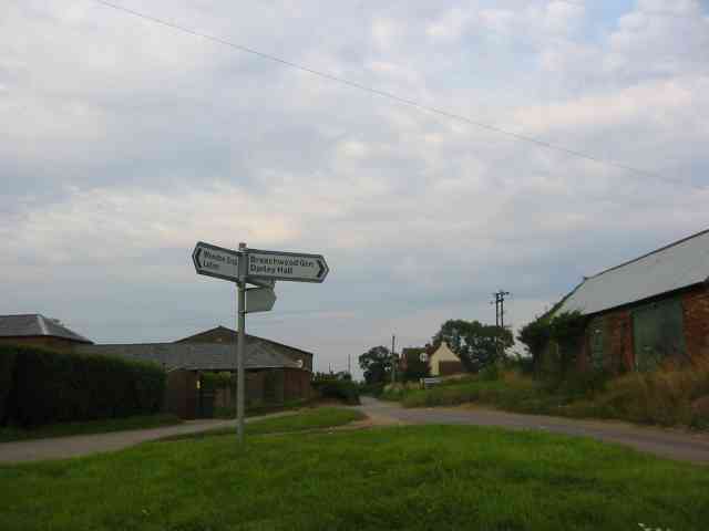
Breachwood Green Mill, King's Walden

Breachwood Green Mill is a Grade II listed tower mill at King's Walden, Hertfordshire, England which has been converted to residential accommodation....

King's Walden

King's Walden is a civil parish in the English county of Hertfordshire. The name includes an apostrophe, but this is often omitted. The main settlement...

Wigmore, Luton

Wigmore is a suburb of Luton about 2 miles (3.2 km) east north-east of the town centre, and a ward of the Borough of Luton, in the ceremonial county of...
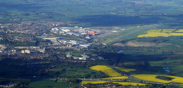
Luton Airport

London Luton Airport (IATA: LTN, ICAO: EGGW) is an international airport located in Luton, Bedfordshire, England, situated 1.7 miles (2.7 km) east of the...

Court Line Flight 95

Court Line Aviation Flight 95 was an international charter flight from London Luton Airport, Bedfordshire, England, to Munich-Riem Airport, West Germany...

Bendish

Bendish is a hamlet located in the parish of St Paul's Walden in Hertfordshire. In the 18th century, Bendish was a small town. It is about 3 miles east...

Crawley Green

Crawley Green is a suburb of south-east Luton near to London Luton Airport, in the Borough of Luton, Bedfordshire, England. The area is roughly bounded...

Vauxhall Park, Luton

Vauxhall Park is a suburb in east Luton, Bedfordshire, England. The area is roughly bounded by Crawley Green Road to the north, London Luton Airport to...

Nearby Amenities

Located within 500m of 51.88895,-0.341114
Darley Hall
Place: hamlet
Lat/Long: 51.8890266/-0.3428435
Odbl: clean
Lat/Long: 51.8893879/-0.3403849
Odbl: clean
Lat/Long: 51.8897566/-0.3412809
Odbl: clean
Lat/Long: 51.8879084/-0.3366908
Odbl: clean
Lat/Long: 51.8903194/-0.3355866
Odbl: clean
Lat/Long: 51.8892579/-0.3434809
Odbl: clean
Lat/Long: 51.8896027/-0.3432372
Odbl: clean
Lat/Long: 51.8897228/-0.3431018
Odbl: clean
Lat/Long: 51.8900145/-0.3427079
Odbl: clean
Lat/Long: 51.8906298/-0.3421221
Odbl: clean
Lat/Long: 51.8908516/-0.3425775
Odbl: clean
Lat/Long: 51.8910916/-0.3432717
Odbl: clean
Lat/Long: 51.8912268/-0.3438403
Odbl: clean
Lat/Long: 51.8912785/-0.3439781
Odbl: clean
Lat/Long: 51.8914425/-0.3442834
Odbl: clean
Lat/Long: 51.8917084/-0.3452779
Odbl: clean
Lat/Long: 51.8918163/-0.3456053
Odbl: clean
Lat/Long: 51.8920578/-0.3462749
Odbl: clean
Lat/Long: 51.8915238/-0.3361447
Odbl: clean
Lat/Long: 51.8916263/-0.3364463
Odbl: clean
Lat/Long: 51.8905054/-0.3359576
Note: PFP 32 Tankards Farm 580yds
Lat/Long: 51.8901999/-0.3410653
The Fox PH
Naptan AtcoCode: 210021100200
Naptan Bearing: NE
Naptan BusStopType: CUS
Naptan CommonName: The Fox PH
Naptan Crossing: The Fox PH
Naptan Indicator: opp
Naptan Landmark: The Fox PH
Naptan NaptanCode: hrtgmdma
Naptan ShortCommonName: NA
Naptan Street: Darley Road
Naptan Verified: no
Source: naptan_import
Lat/Long: 51.8891557/-0.3436549
Bus Stop
Millway
Naptan AtcoCode: 210021100220
Naptan Bearing: NE
Naptan BusStopType: CUS
Naptan CommonName: Millway
Naptan Crossing: opp The Heath
Naptan Indicator: adj
Naptan Landmark: opp The Heath
Naptan NaptanCode: hrtgmdmd
Naptan ShortCommonName: NA
Naptan Street: Darley Road
Naptan Verified: no
Source: naptan_import
Lat/Long: 51.8910819/-0.3355039
Bus Stop
Millway
Naptan AtcoCode: 210021107875
Naptan Bearing: SW
Naptan BusStopType: CUS
Naptan CommonName: Millway
Naptan Crossing: opp Millway
Naptan Indicator: opp
Naptan Landmark: opp Millway
Naptan NaptanCode: hrtgjdmp
Naptan ShortCommonName: NA
Naptan Street: Darley Road
Naptan Verified: no
Source: naptan_import
Lat/Long: 51.8909259/-0.3359166
The Fox PH
Naptan AtcoCode: 210021107880
Naptan Bearing: SW
Naptan BusStopType: CUS
Naptan CommonName: The Fox PH
Naptan Crossing: The Fox PH
Naptan Indicator: adj
Naptan Landmark: The Fox PH
Naptan NaptanCode: hrtgjdmt
Naptan ShortCommonName: NA
Naptan Street: Darley Road
Naptan Verified: no
Source: naptan_import
Lat/Long: 51.8890485/-0.3437025
Odbl: clean
Lat/Long: 51.892571/-0.3440108
Colour: white
Inscription: RDX 1 2 3
Marker: yes
Material: concrete
Utility: yes
Lat/Long: 51.890175/-0.340511
Colour: white
Inscription: RDX 1 2 3
Marker: post
Material: concrete
Utility: oil
Lat/Long: 51.8901052/-0.340489
Direction: 250
Traffic Sign: yes
Lat/Long: 51.890203/-0.3403804
Direction: 250
Traffic Sign: yes
Lat/Long: 51.8901393/-0.3403334
The data included in this document is from www.openstreetmap.org. The data is made available under ODbL.

Have you been to Darleyhall?

Leave your review of Darleyhall below (or comments, questions and feedback).