Darley Hillside
Settlement in Derbyshire Derbyshire Dales
England
Darley Hillside
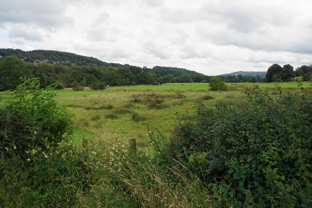
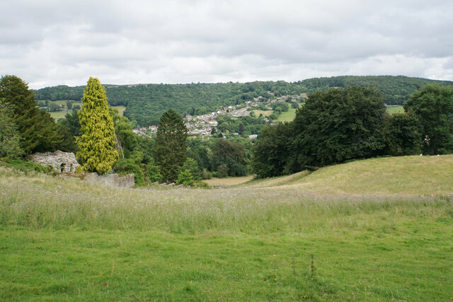
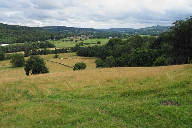
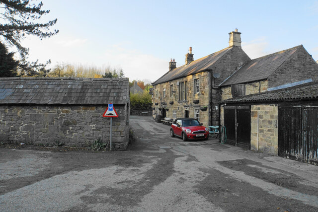
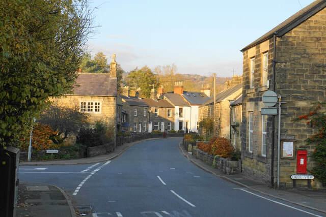
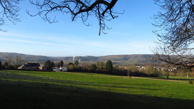
Darley Hillside is a quaint village located in the county of Derbyshire, England. Situated on a hillside overlooking the beautiful Derwent Valley, it offers stunning panoramic views of the surrounding countryside. The village is part of the Darley Abbey Parish and falls within the administrative boundaries of the city of Derby.
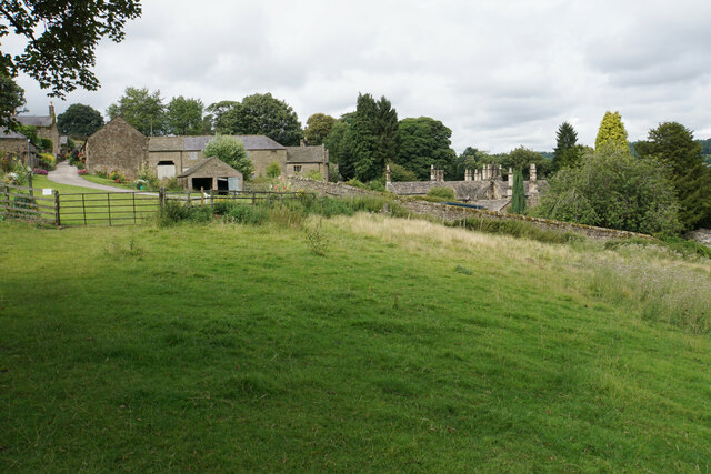
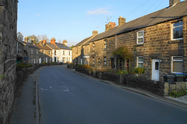
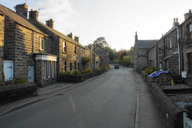
Known for its picturesque charm, Darley Hillside is home to a small population of friendly and tight-knit community members. The village boasts an array of well-preserved period cottages and houses, with many dating back to the 18th and 19th centuries, adding to its historic appeal.
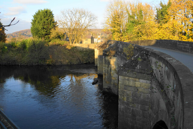
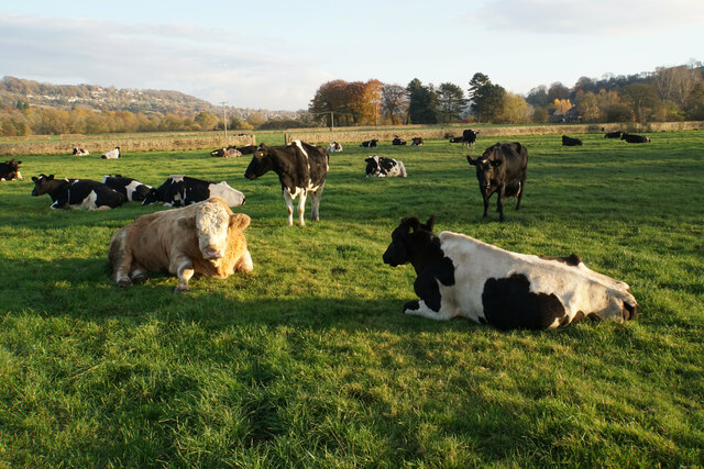
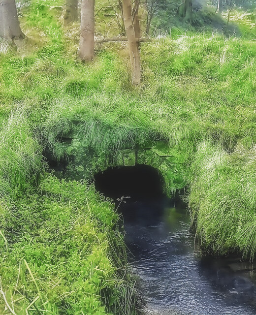
Nature enthusiasts are drawn to Darley Hillside due to its proximity to several scenic walking trails and green spaces. The nearby Darley Park, known for its tranquil gardens and serene riverside walks, is a popular destination for locals and visitors alike. The area also offers opportunities for outdoor activities such as cycling, horse riding, and birdwatching.
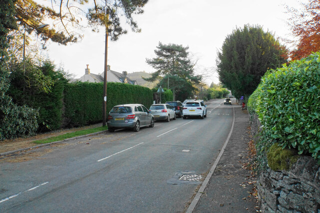
Despite its rural setting, Darley Hillside benefits from good transport links. The A6 road runs nearby, connecting the village to the city of Derby and the wider region. This allows residents to easily access amenities and services available in the city center, including shopping centers, restaurants, and cultural attractions.
Overall, Darley Hillside presents an idyllic countryside retreat, offering a peaceful and picturesque setting for residents and visitors to enjoy the natural beauty of Derbyshire.
If you have any feedback on the listing, please let us know in the comments section below.
Darley Hillside Images
Images are sourced within 2km of 53.169709/-1.594566 or Grid Reference SK2763. Thanks to Geograph Open Source API. All images are credited.


Darley Hillside is located at Grid Ref: SK2763 (Lat: 53.169709, Lng: -1.594566)
Administrative County: Derbyshire
District: Derbyshire Dales
Police Authority: Derbyshire
What 3 Words
///exhales.arrived.submitted. Near Matlock, Derbyshire
Nearby Locations
Related Wikis
Darley Dale
Darley Dale, formerly Darley, is a town and civil parish in the Derbyshire Dales district of Derbyshire, England, with a population of 5,413. It lies...

Stancliffe Hall
Stancliffe Hall is a grade II Listed building on Whitworth Road in the settlement of Darley Dale, near Matlock, Derbyshire. == Early history == In 1817...

Whitworth Institute
The Whitworth Institute is a Grade II listed building in Darley Dale, Derbyshire.It was funded by the estate of the late Sir Joseph Whitworth who lived...

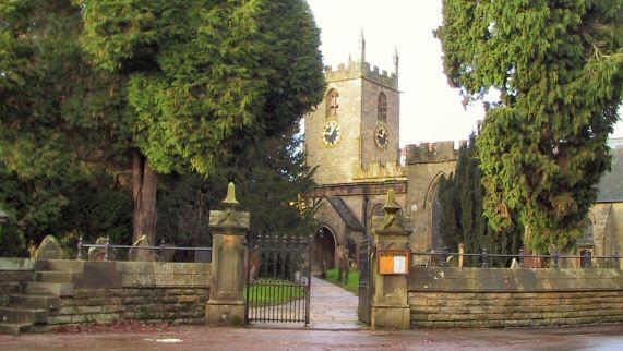
St Helen's Church, Darley Dale
St Helen's Church, Darley Dale is a Grade II* listed parish church in the Church of England in Darley Dale, Derbyshire. == History == The church has elements...

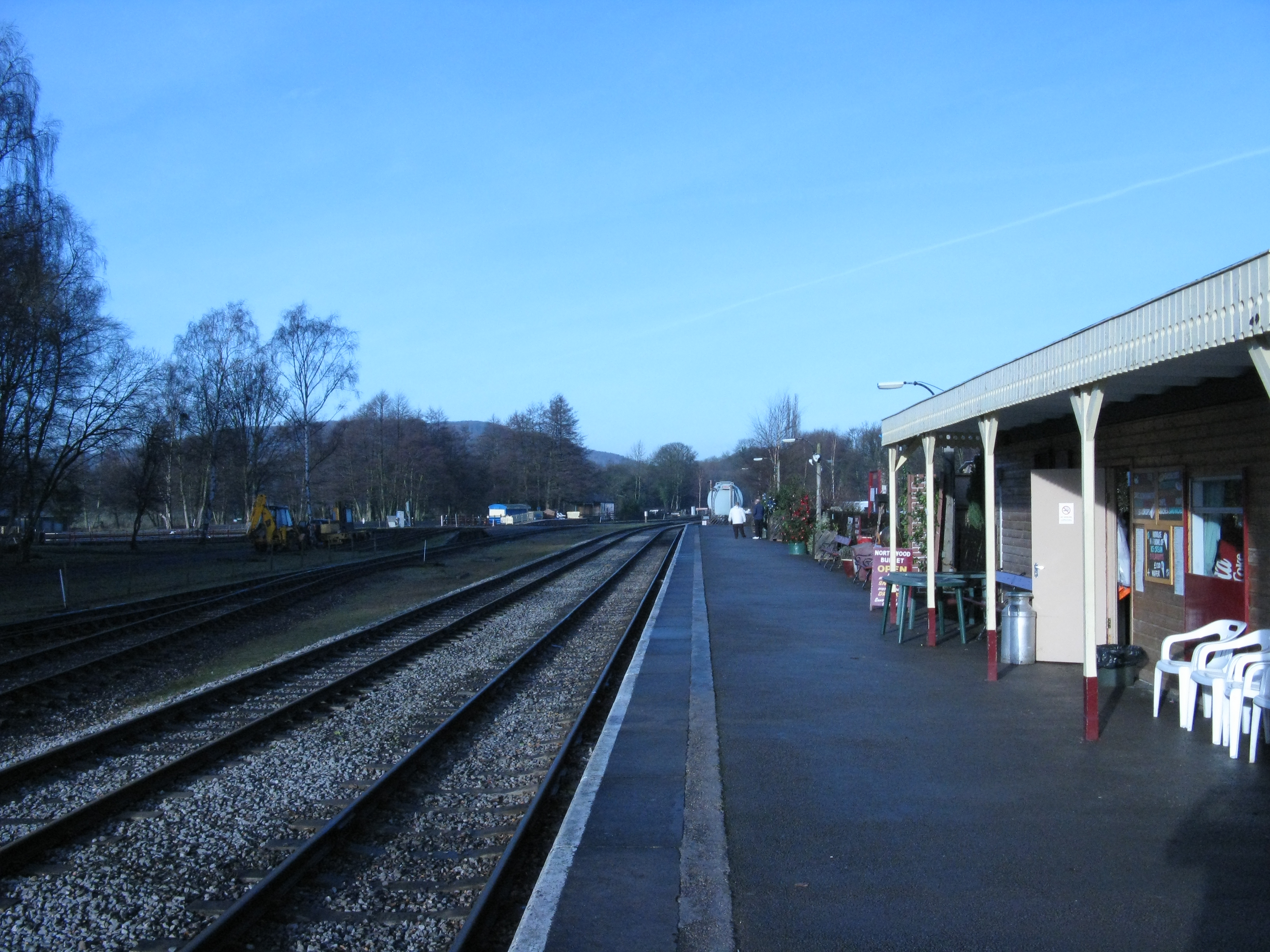
Peak Rail
Peak Rail is a preserved railway in Derbyshire, England, which operates a steam and heritage diesel service for tourists and visitors to both the Peak...
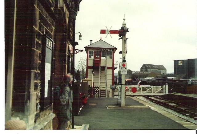
Darley Dale railway station
Darley Dale railway station is a railway station on the heritage line Peak Rail. == History == Lying at the bottom of Station Road in the settlement of...
Parkside railway station (Derbyshire)
Parkside railway station was the only station on the Derbyshire Dales Narrow Gauge Railway. Derbyshire Dales Narrow Gauge Railway was a short narrow-gauge...
Rowsley South railway station
Rowsley South railway station lies approximately a mile short of Rowsley village, the location of the settlement's previous stations. Rowsley South was...
Nearby Amenities
Located within 500m of 53.169709,-1.594566Have you been to Darley Hillside?
Leave your review of Darley Hillside below (or comments, questions and feedback).