Long Copse
Wood, Forest in Wiltshire
England
Long Copse

Long Copse is a picturesque woodland located in the charming county of Wiltshire, England. This ancient forest boasts an impressive expanse of trees and vegetation, creating a serene and captivating atmosphere. Spanning an area of approximately 100 acres, Long Copse is a popular destination for nature enthusiasts and those seeking tranquility amidst the hustle and bustle of daily life.
The woodland is predominantly composed of native tree species such as oak, beech, and ash, which form a dense canopy overhead, providing shade and shelter to the rich undergrowth below. The forest floor is adorned with a vibrant tapestry of wildflowers, ferns, and mosses, creating a kaleidoscope of colors throughout the seasons.
Long Copse is renowned for its diverse wildlife, offering a haven for various species of birds, mammals, and insects. Birdwatchers can spot a variety of feathered friends including woodpeckers, owls, and thrushes, while the lucky visitor may catch a glimpse of elusive creatures like deer and foxes. The forest also houses a plethora of insect life, with butterflies, dragonflies, and bees adding to the vibrant ecosystem.
The forest offers an extensive network of well-maintained trails, making it an ideal location for leisurely walks, hikes, and even cycling. Visitors can meander through the ancient woodland, taking in the sights and sounds of nature, as well as appreciating the historical significance of the area.
In summary, Long Copse in Wiltshire is a captivating woodland, boasting a diverse range of flora and fauna. Its tranquil and idyllic setting provides a perfect escape for those seeking solace in nature and a sanctuary for wildlife to flourish.
If you have any feedback on the listing, please let us know in the comments section below.
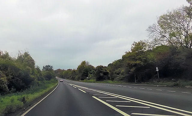
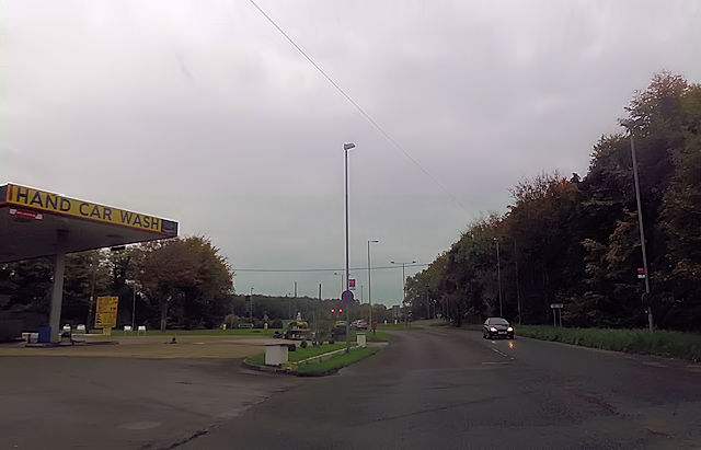
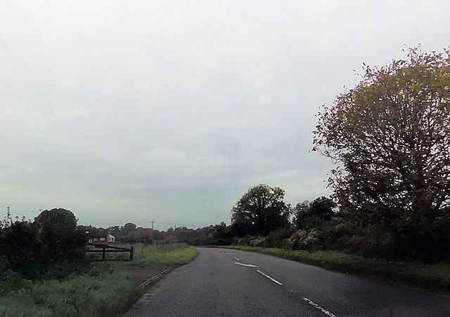
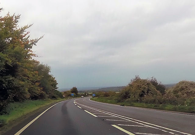
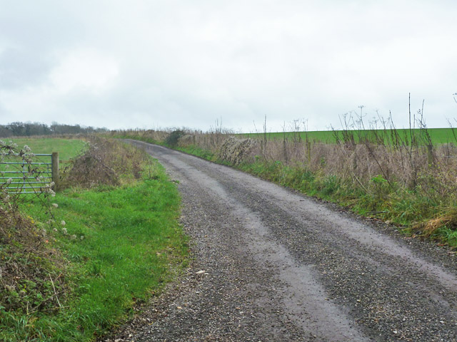
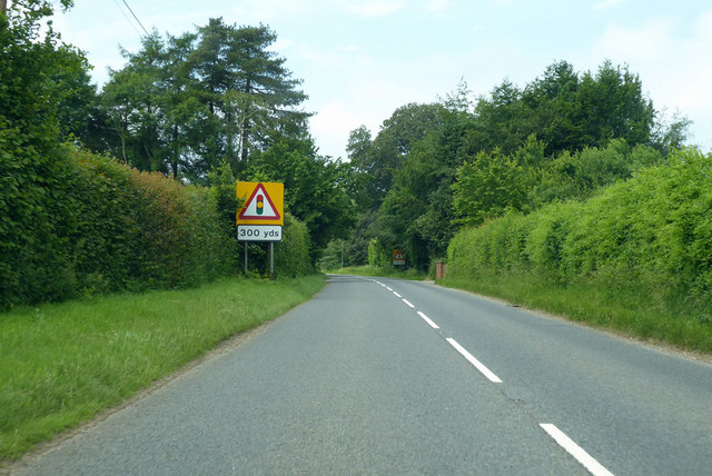
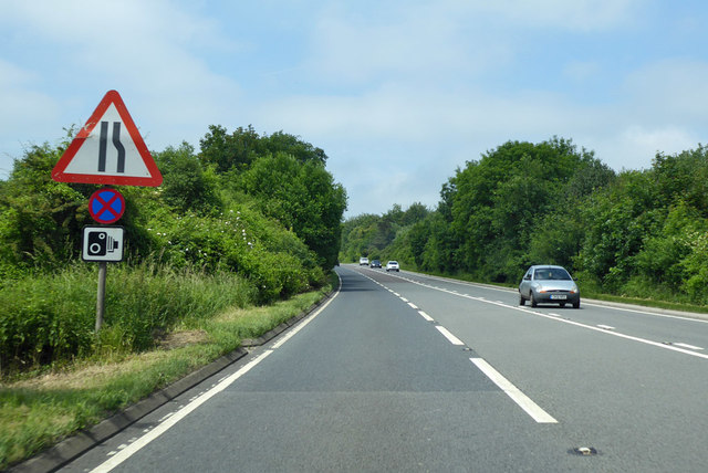
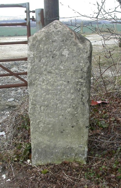
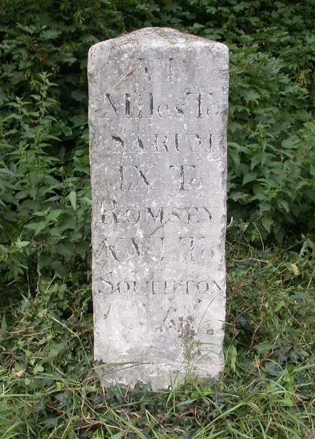
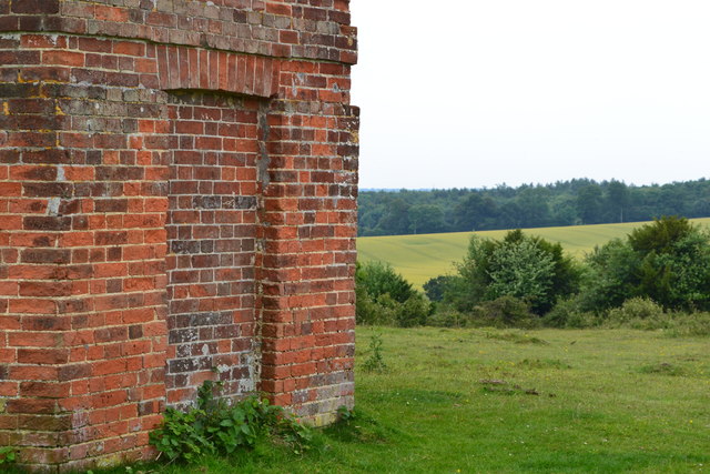
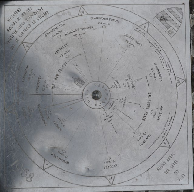
Long Copse Images
Images are sourced within 2km of 51.006621/-1.6962787 or Grid Reference SU2123. Thanks to Geograph Open Source API. All images are credited.


Long Copse is located at Grid Ref: SU2123 (Lat: 51.006621, Lng: -1.6962787)
Unitary Authority: Wiltshire
Police Authority: Wiltshire
What 3 Words
///witty.jumps.apricot. Near Whiteparish, Wiltshire
Nearby Locations
Related Wikis

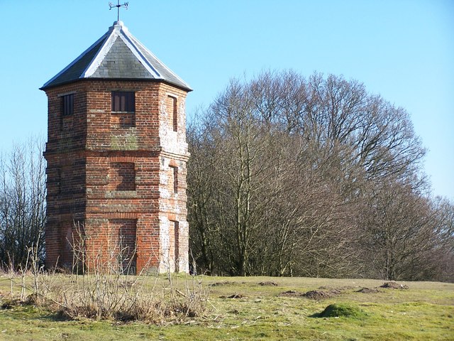
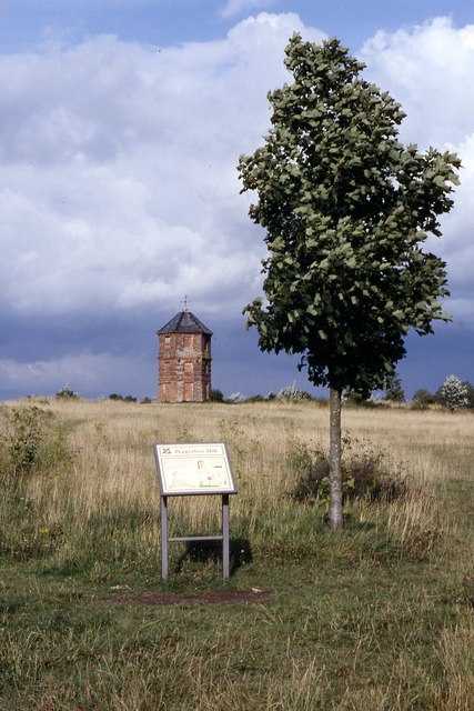
The Pepperbox
The Pepperbox, also known as Eyre's Folly, is a folly tower that stands near the highest point on Pepperbox Hill, the peak of a chalk ridge about 5 miles...
Redlynch, Wiltshire
Redlynch is a village and civil parish about 6.5 miles (10.5 km) southeast of Salisbury in Wiltshire, England. The parish includes the villages of Morgan...

Church of St Birinus, Morgan's Vale
The Church of St Birinus is a Church of England church in Morgan's Vale, Wiltshire, England. It was designed by Charles Ponting and constructed in 1894...

Trafalgar Park, Wiltshire
Trafalgar Park (also known as Trafalgar House, formerly Standlynch Park) is a large Georgian country house about 1.4 miles (2.3 km) northeast of the village...
Nearby Amenities
Located within 500m of 51.006621,-1.6962787Have you been to Long Copse?
Leave your review of Long Copse below (or comments, questions and feedback).