Black Plantation
Wood, Forest in Derbyshire Derbyshire Dales
England
Black Plantation
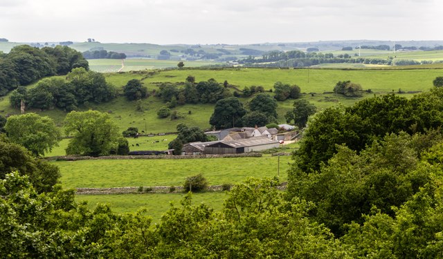
Black Plantation, located in Derbyshire, is a stunning woodland area known for its natural beauty and rich history. Situated in the heart of the county, the plantation covers a vast area and is renowned for its dense forest and towering trees.
The plantation is home to a diverse range of flora and fauna, with an abundance of native plant species such as oak, beech, and birch. This creates a vibrant and picturesque landscape that attracts nature enthusiasts and hikers from all around.
One of the most notable features of Black Plantation is its name, derived from the dark and mysterious appearance of the woodland. The dense canopy overhead creates a unique atmosphere, casting a shadow over the forest floor and giving the area an almost mystical feel.
Apart from its natural beauty, Black Plantation also holds historical significance. It is believed that the area has been inhabited since prehistoric times, with evidence of ancient settlements and burial mounds found within its boundaries. The plantation has witnessed the passage of time, from the Roman occupation to the medieval era and beyond.
Today, Black Plantation offers a tranquil retreat for visitors seeking solace in nature. Its well-maintained trails provide ample opportunities for walking, hiking, and birdwatching. The plantation is also a popular spot for picnics and family outings, with designated areas for recreational activities.
In conclusion, Black Plantation in Derbyshire is a captivating woodland that combines natural beauty with historical significance. Its lush forests, diverse wildlife, and enchanting atmosphere make it a must-visit destination for nature lovers and history enthusiasts alike.
If you have any feedback on the listing, please let us know in the comments section below.
Black Plantation Images
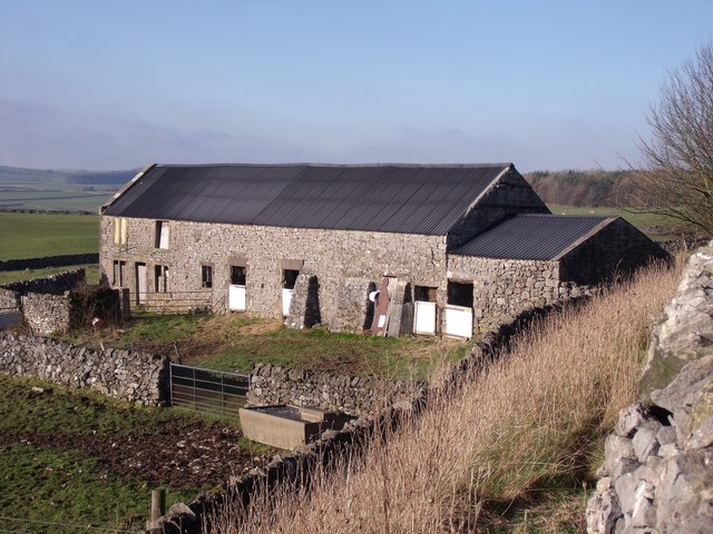
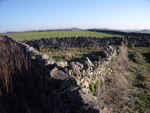
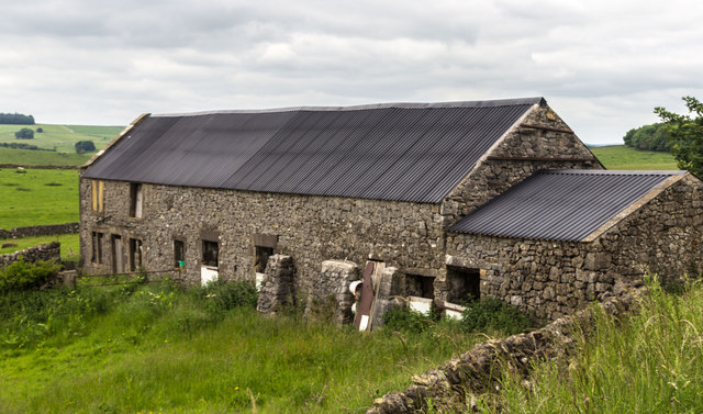
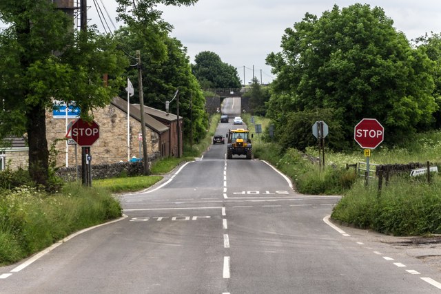
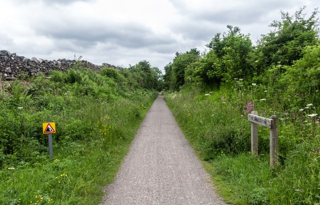
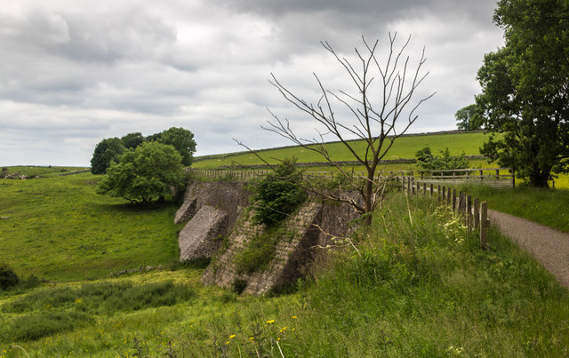
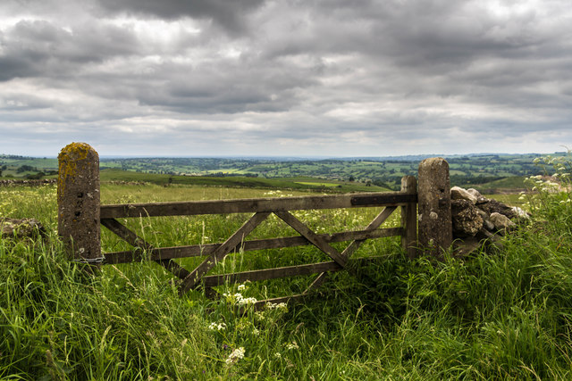
Images are sourced within 2km of 53.090464/-1.6818408 or Grid Reference SK2154. Thanks to Geograph Open Source API. All images are credited.


Black Plantation is located at Grid Ref: SK2154 (Lat: 53.090464, Lng: -1.6818408)
Administrative County: Derbyshire
District: Derbyshire Dales
Police Authority: Derbyshire
What 3 Words
///goodbyes.irrigated.that. Near Wirksworth, Derbyshire
Nearby Locations
Related Wikis

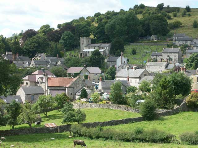
Ballidon
Ballidon is a village and civil parish in the Derbyshire Dales district of Derbyshire, England, on the edge of the Peak District National Park. According...
All Saints Church, Ballidon
All Saints Church is a redundant Anglican church located to the south of the village of Ballidon, Derbyshire, England. It is recorded in the National...

Longcliffe
Longcliffe is a crossroads hamlet in the English county of Derbyshire. It lies on the B5056 road where it is crossed by the Brassington-Elton road. The...
Brassington
Brassington is a village and civil parish in the Derbyshire Dales district of Derbyshire, 16 miles north west of Derby. The parish had a population of...
Nearby Amenities
Located within 500m of 53.090464,-1.6818408Have you been to Black Plantation?
Leave your review of Black Plantation below (or comments, questions and feedback).