Bushyleaze Copse
Wood, Forest in Gloucestershire Cotswold
England
Bushyleaze Copse
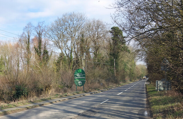
Bushyleaze Copse is a picturesque woodland located in Gloucestershire, England. Spanning over a vast area, the copse is a serene and enchanting forest that is renowned for its natural beauty and diverse ecosystem.
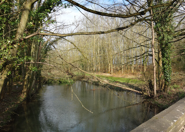
The copse is predominantly made up of a variety of broadleaf trees, including oak, beech, and ash, which provide a rich and vibrant canopy. These trees create a dense and shaded environment, perfect for exploring and immersing oneself in nature. The forest floor is covered with a carpet of ferns, mosses, and wildflowers, adding to the copse's enchanting atmosphere.
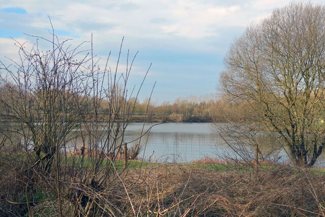
Bushyleaze Copse is home to a wide array of flora and fauna species. Birdwatchers can spot various woodland birds such as woodpeckers, owls, and songbirds. The copse also provides a habitat for mammals like foxes, badgers, and squirrels. Nature enthusiasts can enjoy observing the copse's diverse insect population, including butterflies, beetles, and dragonflies.
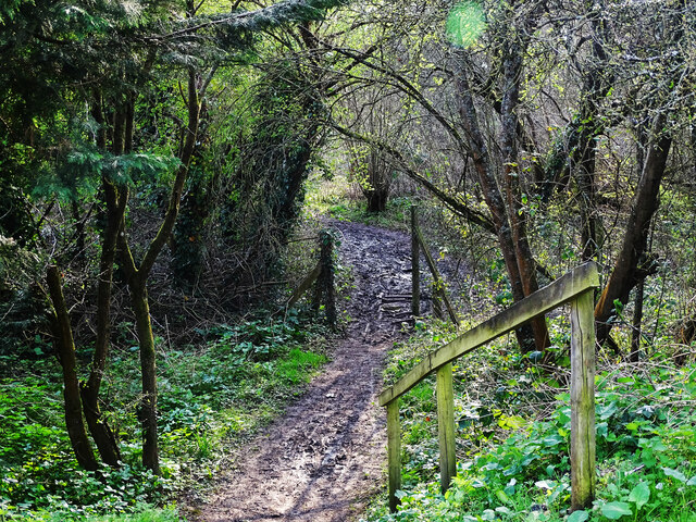
The copse offers a network of well-maintained footpaths and trails, making it a popular destination for hikers, walkers, and nature lovers. These trails allow visitors to explore the copse at their own pace, providing opportunities to discover hidden groves, babbling brooks, and stunning viewpoints. The copse also offers picnic areas and benches, allowing visitors to relax and soak in the tranquil atmosphere.
Bushyleaze Copse is a testament to the natural beauty of Gloucestershire, offering a peaceful escape from the hustle and bustle of everyday life. Whether you are seeking solitude, wildlife encounters, or simply a scenic walk, Bushyleaze Copse is a must-visit destination for nature enthusiasts and outdoor adventurers.
If you have any feedback on the listing, please let us know in the comments section below.
Bushyleaze Copse Images
Images are sourced within 2km of 51.711813/-1.6923646 or Grid Reference SP2101. Thanks to Geograph Open Source API. All images are credited.
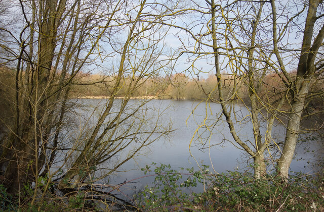
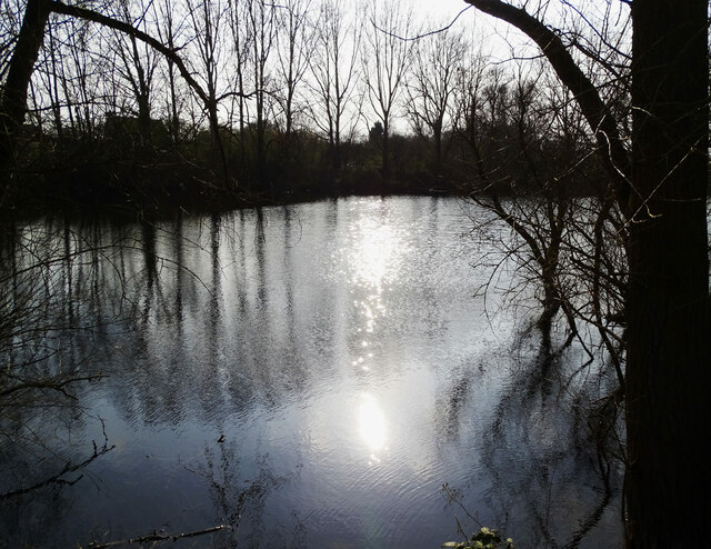


![A figure of eight walk from Lechlade-on-Thames [1] In celebration of the Queen&#039;s Jubilee is this delightful sculpture near Allcourt Meadow.
After leaving Lechlade, the route joins the long distance Thames and Severn Way and passes the southern edge of Bowmoor Lake. Turning north, and looping around the northern edge of the lake, the Thames and Severn Way is re-joined and followed to the banks of the River Thames and back to Lechlade. Slightly over 5 miles.](https://s2.geograph.org.uk/geophotos/07/26/33/7263314_ae732a73.jpg)


Bushyleaze Copse is located at Grid Ref: SP2101 (Lat: 51.711813, Lng: -1.6923646)
Administrative County: Gloucestershire
District: Cotswold
Police Authority: Gloucestershire
What 3 Words
///goodnight.toffee.blunt. Near Lechlade, Gloucestershire
Nearby Locations
Related Wikis
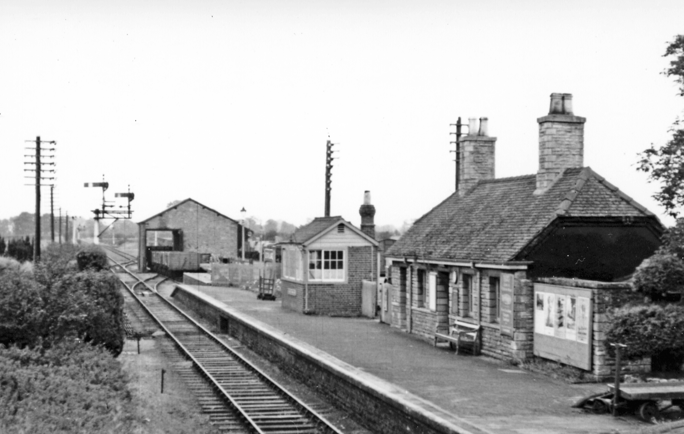
Lechlade railway station
Lechlade railway station served the small town of Lechlade in Gloucestershire, England. The station was on the Oxford, Witney and Fairford Railway, between...
Little Faringdon
Little Faringdon is a village and civil parish in West Oxfordshire, about 1 mile (1.6 km) north of Lechlade in neighbouring Gloucestershire. The 2001 Census...

Southrop
Southrop is a village and civil parish in Gloucestershire, England. It is situated on the River Leach. The Grade I listed St Peter's Church dates from...
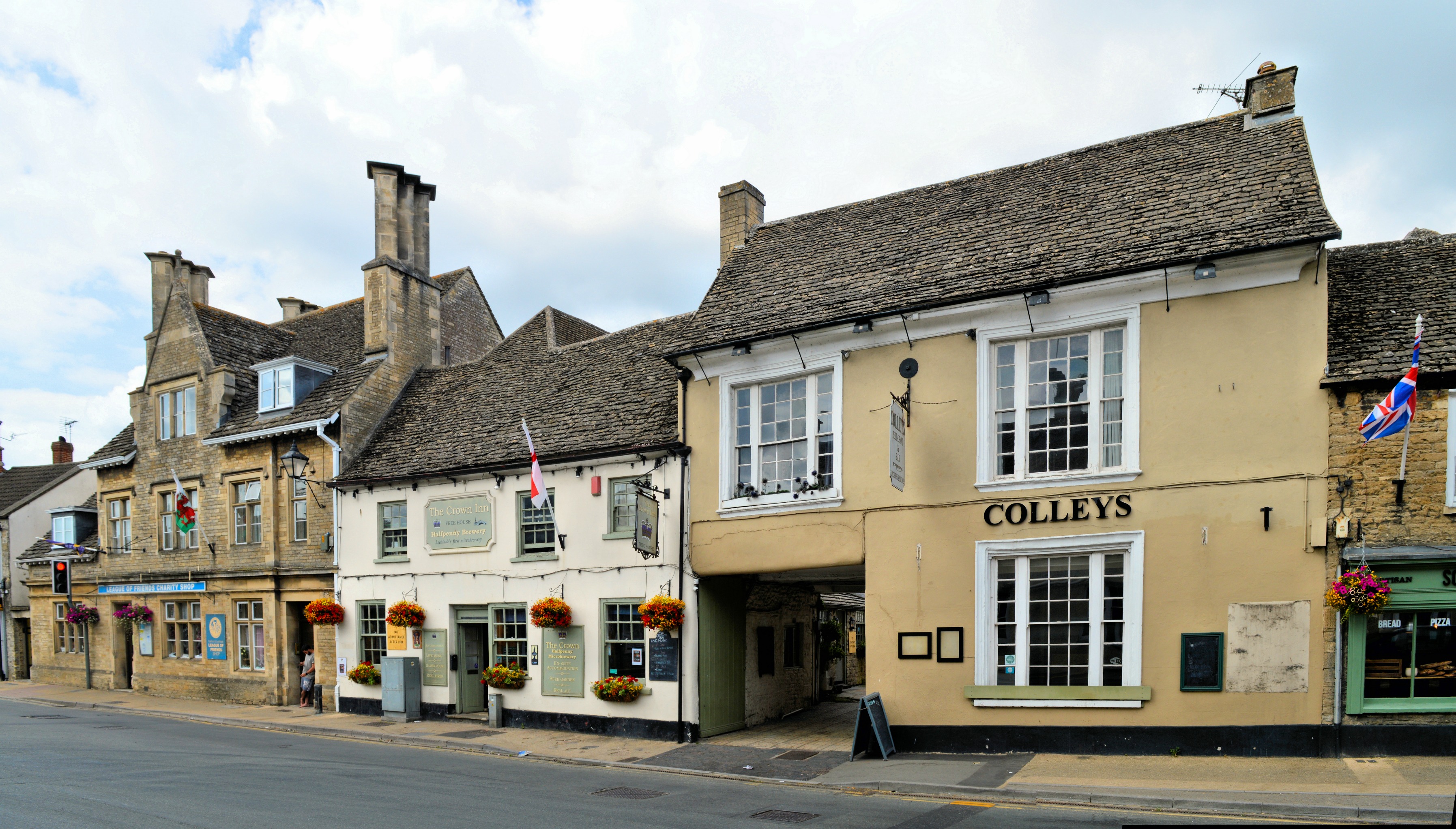
Lechlade
Lechlade () is a town at the southern edge of the Cotswolds in Gloucestershire, England, 55 miles (89 km) south of Birmingham and 68 miles (109 km) west...

Lechlade Manor
Lechlade Manor in Lechlade, Gloucestershire, England, is a Victorian country house built for George Milward, a lawyer, by John Loughborough Pearson. Primarily...

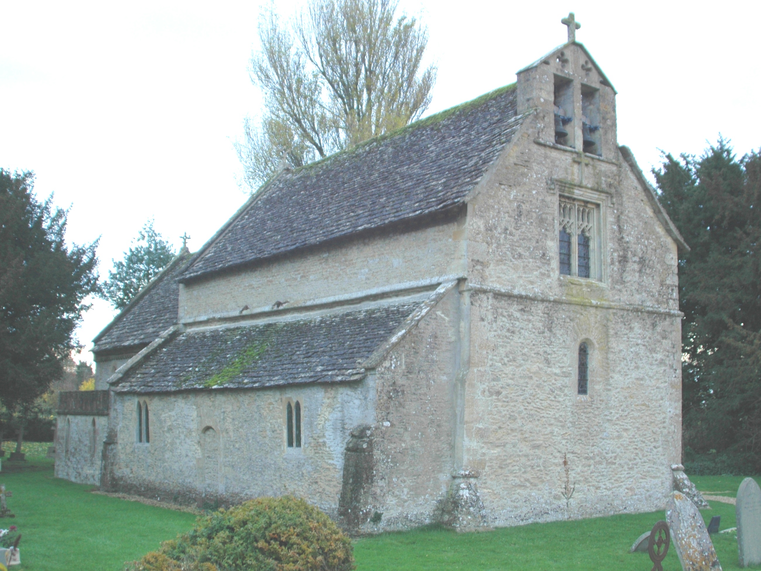
St Lawrence Church, Lechlade
The Anglican St Lawrence Church, dedicated to St. Lawrence of Rome, is the Church of England parish church of Lechlade in Gloucestershire, England. The...

Halfpenny Bridge
Halfpenny Bridge is a bridge across the River Thames, at Lechlade, Gloucestershire, England. The bridge and its toll house are a Grade II listed building...

Thames meander
Thames meander refers to a long-distance journey over all or part of the River Thames in England. Walking the Thames Path is itself a meander, but the...
Have you been to Bushyleaze Copse?
Leave your review of Bushyleaze Copse below (or comments, questions and feedback).