Bannerley Rough
Wood, Forest in Warwickshire North Warwickshire
England
Bannerley Rough
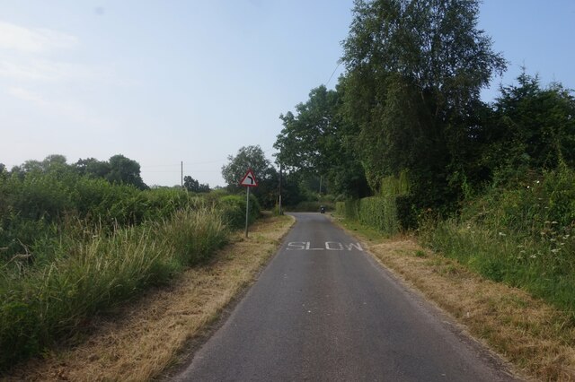
Bannerley Rough is a picturesque woodland area located in Warwickshire, England. Covering an area of approximately 100 acres, it is known for its dense forest and natural beauty. The rough is situated near the town of Wood, providing a serene and tranquil escape for nature enthusiasts and outdoor lovers.
The woodland is characterized by its mature trees, including oak, beech, and birch. These majestic trees create a dense canopy, casting dappled sunlight on the forest floor below. The rough is known for its rich biodiversity, with a variety of plant and animal species thriving in this natural habitat.
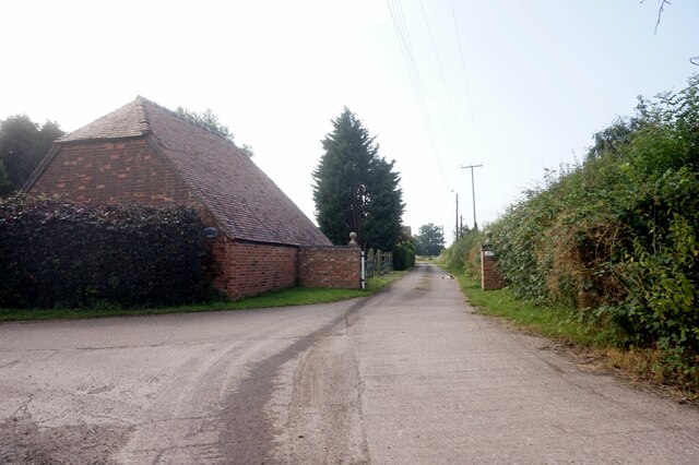
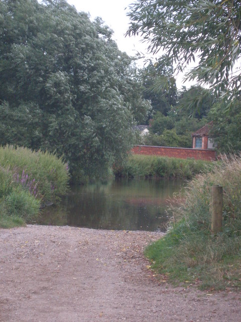
Visitors to Bannerley Rough can enjoy a network of well-maintained trails, offering opportunities for hiking and walking. These paths wind through the forest, providing stunning views of the surrounding landscape. The rough is also home to a number of small streams and ponds, adding to the overall charm and tranquility of the area.
Wildlife enthusiasts will be delighted by the diverse range of animals that call Bannerley Rough their home. Red foxes, badgers, and deer are often spotted in the early morning or late evening hours. Birdwatchers can also enjoy the sights and sounds of various bird species, including woodpeckers, owls, and songbirds.
Bannerley Rough is not only a haven for wildlife but also a place of historical significance. The area is known to have been used for charcoal production in the past, contributing to the local economy. Today, it stands as a testament to the importance of preserving and appreciating the natural environment.
If you have any feedback on the listing, please let us know in the comments section below.
Bannerley Rough Images
Images are sourced within 2km of 52.471081/-1.6871025 or Grid Reference SP2185. Thanks to Geograph Open Source API. All images are credited.


Bannerley Rough is located at Grid Ref: SP2185 (Lat: 52.471081, Lng: -1.6871025)
Administrative County: Warwickshire
District: North Warwickshire
Police Authority: Warwickshire
What 3 Words
///invite.season.sand. Near Chelmsley Wood, West Midlands
Nearby Locations
Related Wikis
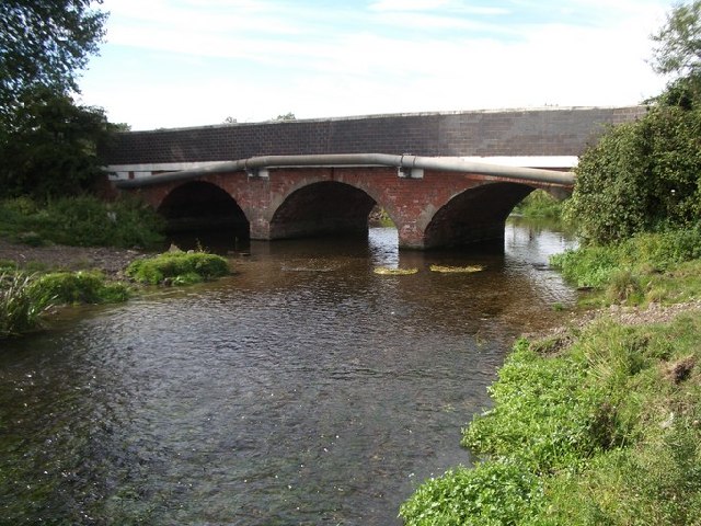
River Blythe
The River Blythe flows through the English Midlands from central Warwickshire, through the Borough of Solihull and on to Coleshill in north Warwickshire...

Chelmsley Town F.C.
Chelmsley Town Football Club is a football club representing the town of Chelmsley Wood, West Midlands, England. They are currently members of the Midland...
Coleshill Town F.C.
Coleshill Town Football Club is a semi-professional football club based in Coleshill, Warwickshire, England. They are currently members of the Northern...
Hermitage Manor
Hermitage Manor is a small manor house in Warwickshire (UK) with a trihedral moat, associated land and farm. A manor house or fortified manor-house is...

Great Packington
Great Packington is a hamlet, civil parish and country park in the North Warwickshire district of Warwickshire, England. The parish of Meriden is to the...
The Coleshill School
The Coleshill School is a school with academy status in Coleshill, Warwickshire, England, founded in 1520. == Admissions == It is a mixed secondary school...
Birmingham Business Park
Birmingham Business Park is 'the most established out-of-town office park in the Midlands' and is home to 116 companies, over 7000 employees and is the...
Packington Old Hall
Packington Old Hall is a 17th-century manor house situated at Great Packington, near Meriden, Warwickshire. It is a Grade II* listed building. An original...
Related Videos

Beautiful Garden Centre Walk - Complete Tour Of Melbicks Garden Centre
A complete walk through of Melbicks garden centre. Everything from BBQ grills and equipment to Furniture and even elegant ...

Beautiful Siberian Husky having a great day PUPPY SITTING #blueeyes #siberianhusky @JENONPets #ice
Introducing Niunia: Jenon's Loyal Companion and Italian Greyhound Extraordinaire! ✨ In the heartwarming journey of ...

2022.10.27 *0 Melbecks, Coleshill, Birmingham, UK
Irene and Dave enjoy a visit to Melbecks, Coleshill, Birmingham, UK.

Road Trip UK 🇬🇧 | Coventry To Packington Park | Via Forest Of Arden | Birmingham Airport | Meriden
universalitydriving #valerienthetraveller #kingofroadtrip #packingtonpark #birminghamairport #forestofarden #drivingintheuk ...
Nearby Amenities
Located within 500m of 52.471081,-1.6871025Have you been to Bannerley Rough?
Leave your review of Bannerley Rough below (or comments, questions and feedback).