Bembury Lodge Plantation

Wood, Forest in Oxfordshire West Oxfordshire

England

Bembury Lodge Plantation

Stone Stile, Eastleach Martin Actually on the boundary of Gloucestershire with Oxfordshire. About ⅞ of a mile from Eastleach Turville.
Stone Stile, Eastleach Martin Credit: Jayne Tovey

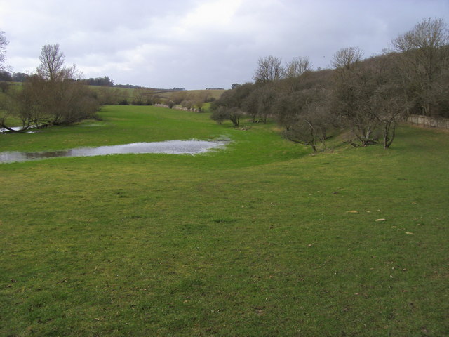
Bembury Lodge Plantation is a picturesque woodland area located in Oxfordshire, England. Spread across a vast area, the plantation is renowned for its dense forests and diverse range of plant and animal species. The plantation is situated near the village of Bembury, and its tranquil atmosphere and natural beauty make it a popular destination for nature lovers and outdoor enthusiasts.

The woodland at Bembury Lodge Plantation is characterized by a mixture of broadleaf and coniferous trees, including oak, beech, pine, and spruce. These trees create a vibrant canopy, providing shade and shelter for a variety of wildlife. The undergrowth is rich with ferns, mosses, and a wide array of wildflowers.

The plantation is home to a diverse range of animal species. Visitors can spot roe deer, badgers, foxes, rabbits, and a variety of bird species, including woodpeckers, owls, and various songbirds. The plantation's peaceful environment provides an ideal habitat for these creatures, allowing them to thrive in their natural surroundings.

In addition to its natural beauty, Bembury Lodge Plantation offers a range of recreational activities for visitors. There are well-maintained walking trails that wind through the woods, providing an opportunity for visitors to explore and enjoy the serene surroundings. The plantation also offers designated picnic areas, where visitors can relax and enjoy a meal amidst the beauty of nature.

Bembury Lodge Plantation is a true gem in the heart of Oxfordshire, offering a tranquil escape from the hustle and bustle of everyday life. Its lush forests, diverse wildlife, and recreational activities make it a must-visit destination for nature enthusiasts and those seeking a peaceful retreat.

If you have any feedback on the listing, please let us know in the comments section below.

Bembury Lodge Plantation Images

Images are sourced within 2km of 51.767279/-1.6925677 or Grid Reference SP2107. Thanks to Geograph Open Source API. All images are credited.

Stone Stile, Eastleach Martin Actually on the boundary of Gloucestershire with Oxfordshire. About ⅞ of a mile from Eastleach Turville.
Stone Stile, Eastleach Martin
Actually on the boundary of Gloucestershire with Oxfordshire. About ⅞ of a mile from Eastleach Turville.
Seven Shires Way entering the Hatherop Estate Off Locombe Hill the Seven Shires Way entering the Hatherop Estate by the River Leach
Seven Shires Way entering the Hatherop Estate
Off Locombe Hill the Seven Shires Way entering the Hatherop Estate by the River Leach
Seven Shires Way by Sheephouse Plantation Seven Shires Way by Sheephouse Plantation above the River Leach
Seven Shires Way by Sheephouse Plantation
Seven Shires Way by Sheephouse Plantation above the River Leach
Bridleway heading to Bimbury Lodge Bridleway from Sheep Bridge heading to Bimbury Lodge
Bridleway heading to Bimbury Lodge
Bridleway from Sheep Bridge heading to Bimbury Lodge
Seven Shires Way by Tom Jollys Seven Shires Way passing by Tom Jollys
Seven Shires Way by Tom Jollys
Seven Shires Way passing by Tom Jollys
Seven Shires Way heading to Holwell Downs Farm Seven Shires Way heading down the restricted byway to Holwell Downs Farm
Seven Shires Way heading to Holwell Downs Farm
Seven Shires Way heading down the restricted byway to Holwell Downs Farm
Seven Shires Way heading to Holwell From Holwell Downs Farm the Seven Shires Way heading to Holwell
Seven Shires Way heading to Holwell
From Holwell Downs Farm the Seven Shires Way heading to Holwell
D'Arcy Dalton Way heading towards The Cottages D'Arcy Dalton Way from Holwell heading towards The Cottages
D'Arcy Dalton Way heading towards The Cottages
D'Arcy Dalton Way from Holwell heading towards The Cottages
D'Arcy Dalton Way heading  towards the A361 D'Arcy Dalton Way heading away from The Kennels towards the A361
D'Arcy Dalton Way heading towards the A361
D'Arcy Dalton Way heading away from The Kennels towards the A361
Snowman Family enjoying the Cotswold Wildlife Park Snowmen or should it be Snowpeople getting ready for Christmas
Snowman Family enjoying the Cotswold Wildlife Park
Snowmen or should it be Snowpeople getting ready for Christmas
Old road heading to Bimbury Lodge By Foss Way Plantation the old road heading to Bimbury Lodge
Old road heading to Bimbury Lodge
By Foss Way Plantation the old road heading to Bimbury Lodge
Akeman Street Akeman Street at Bimbury Lodge
Akeman Street
Akeman Street at Bimbury Lodge
The road to the Barringtons, by College Plantation Looking north to the 117 metre spot height.
The road to the Barringtons, by College Plantation
Looking north to the 117 metre spot height.
Farmland south-west of College Plantation On the west side of the road to the Barringtons.
Farmland south-west of College Plantation
On the west side of the road to the Barringtons.
Uncultivated field margin, near College Plantation On the west side of the road to the Barringtons.
Uncultivated field margin, near College Plantation
On the west side of the road to the Barringtons.
Uncultivated field margin, south-west of College Farm On the west side of the road to the Barringtons.
Uncultivated field margin, south-west of College Farm
On the west side of the road to the Barringtons.
Clover-rich farmland, south-west of College Farm On the west side of the road to the Barringtons.
Clover-rich farmland, south-west of College Farm
On the west side of the road to the Barringtons.
Entrance to College Farm, at a 122 metre spot height Also a public bridleway.
Entrance to College Farm, at a 122 metre spot height
Also a public bridleway.
Show me another place!

Bembury Lodge Plantation is located at Grid Ref: SP2107 (Lat: 51.767279, Lng: -1.6925677)

Administrative County: Oxfordshire

District: West Oxfordshire

Police Authority: Thames Valley

What 3 Words

///fake.crystals.composes. Near Burford, Oxfordshire

Nearby Locations

Bembury Lodge Plantation

Related Wikis

Holwell, Oxfordshire

Holwell is a village and civil parish about 2 miles (3 km) south of Burford in West Oxfordshire. The 2001 Census recorded the parish's population as 17...

Westwell War Memorial

The Westwell War Memorial is a memorial to the Price brothers erected in the hamlet of Westwell, Oxfordshire after the First World War. The limestone...

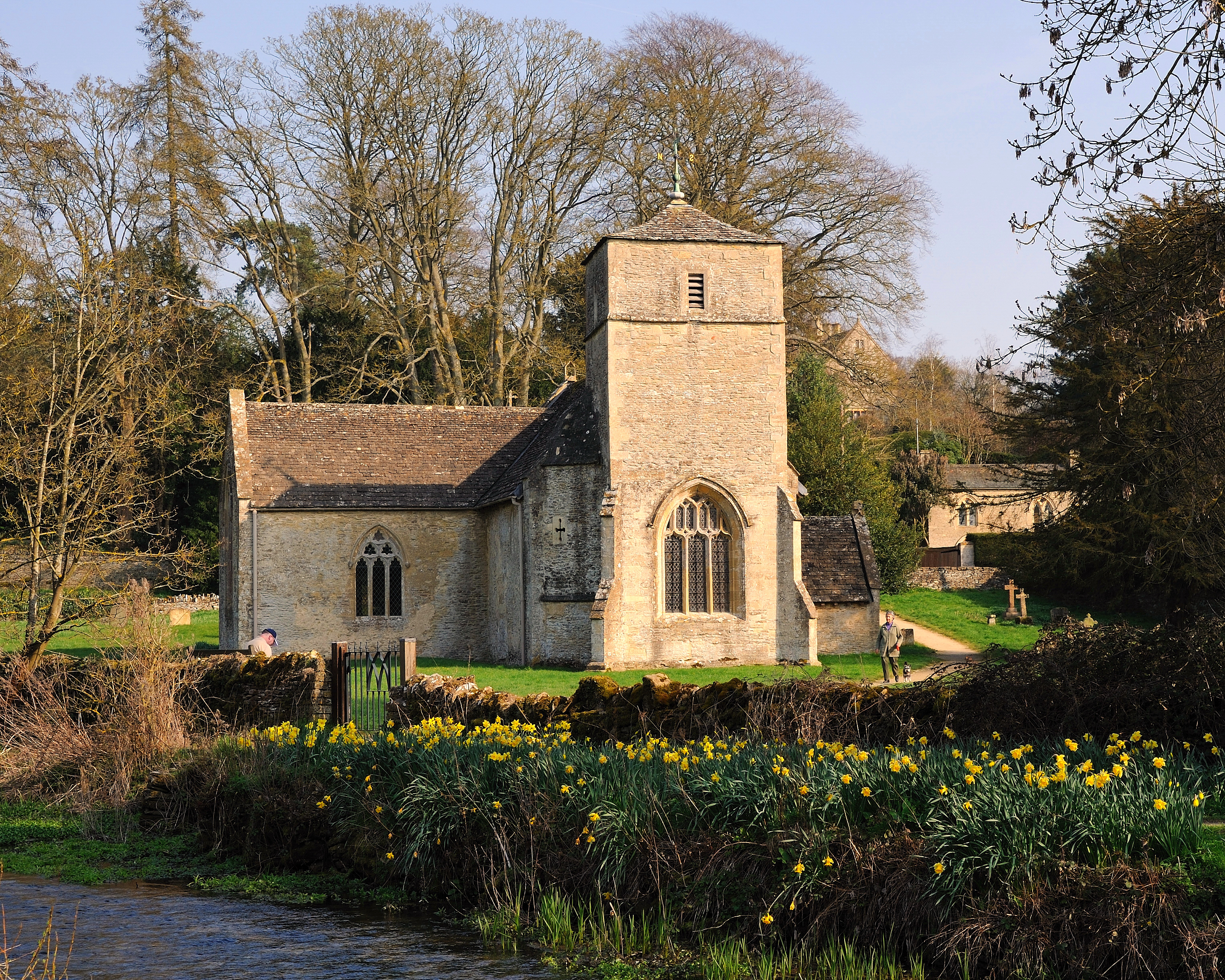
Church of St Andrew, Eastleach Turville

The Anglican Church of St Andrew at Eastleach Turville in the Cotswold District of Gloucestershire, England, was built in the 12th century. It is a grade...

Eastleach

Eastleach is a civil parish in the county of Gloucestershire, England. It was created in 1935 when the separate parishes of Eastleach Turville and Eastleach...

Nearby Amenities

Located within 500m of 51.767279,-1.6925677
Power: tower
Lat/Long: 51.7664853/-1.6983985
Power: tower
Lat/Long: 51.7637842/-1.69692
The data included in this document is from www.openstreetmap.org. The data is made available under ODbL.

Have you been to Bembury Lodge Plantation?

Leave your review of Bembury Lodge Plantation below (or comments, questions and feedback).