Darland

Settlement in Denbighshire

Wales

Darland

Arable field, Cam-yr-Alyn Marker post on the A483 in the foreground.
Arable field, Cam-yr-Alyn Credit: Richard Webb

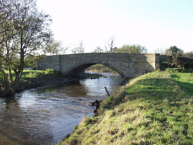
Darland is a small village located in the county of Denbighshire, in northeastern Wales. Situated on the banks of the River Clwyd, it is approximately 4 miles southeast of the town of Ruthin and about 16 miles southwest of the city of Chester, across the border in England.

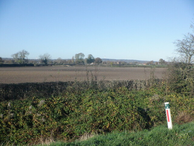
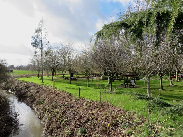
The village is surrounded by picturesque countryside, with rolling hills and farmland dominating the landscape. It is a rural community, known for its tranquil and idyllic setting. Darland is home to a small population, mainly comprising of families and retirees.

Despite its size, the village offers a range of amenities to its residents. These include a local primary school, a community center, and a village hall. The village pub serves as a social hub, providing a place for locals to gather and socialize.

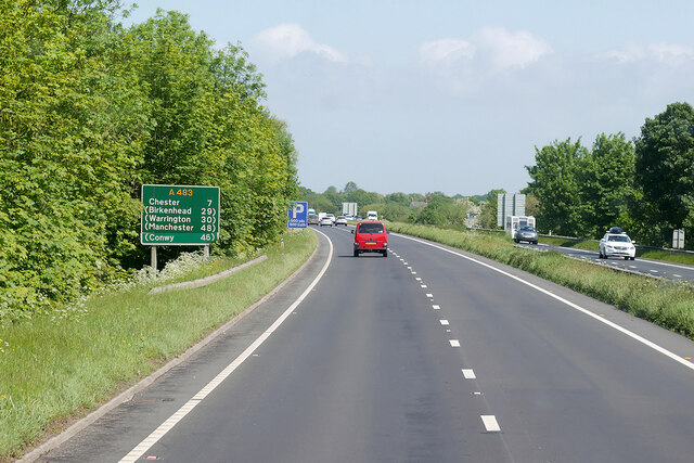
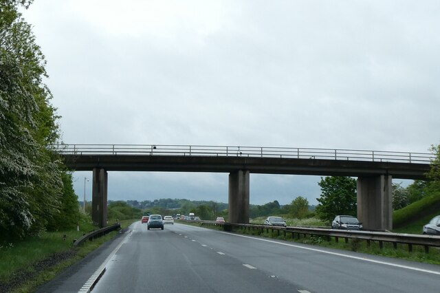
Darland is also well-connected to neighboring towns and cities. The A494 road runs through the village, providing easy access to the wider transport network. Public transportation options are limited, with bus services operating on selected routes.

The surrounding area offers plenty of opportunities for outdoor activities, such as hiking, cycling, and fishing. The nearby Clocaenog Forest and Hiraethog Moors provide beautiful natural landscapes for exploration.

In summary, Darland is a peaceful and close-knit village in Denbighshire, Wales, offering a rural lifestyle and a strong sense of community.

If you have any feedback on the listing, please let us know in the comments section below.
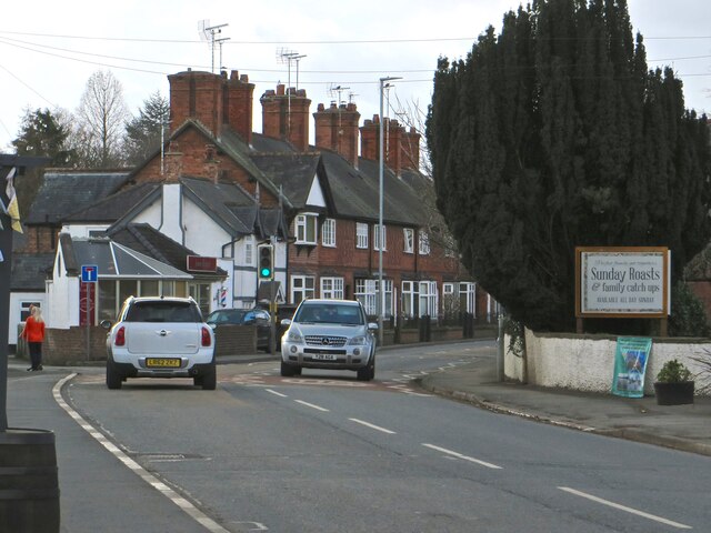
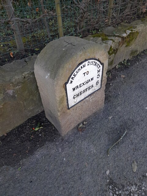
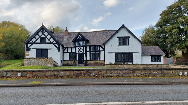
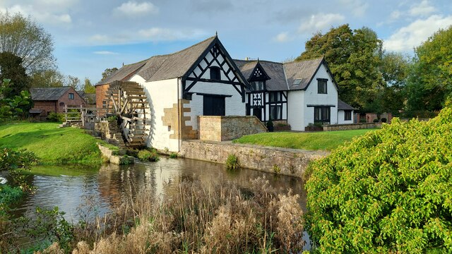
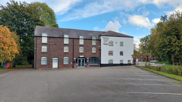
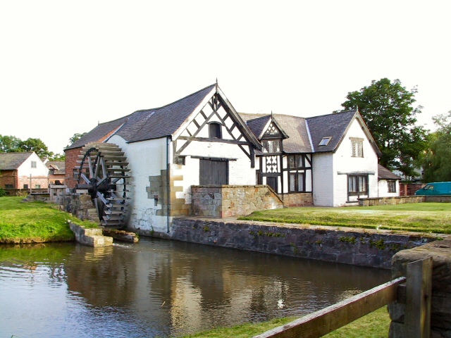
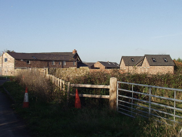
Darland Images

Images are sourced within 2km of 53.11418/-2.930002 or Grid Reference SJ3757. Thanks to Geograph Open Source API. All images are credited.

Arable field, Cam-yr-Alyn Marker post on the A483 in the foreground.
Arable field, Cam-yr-Alyn
Marker post on the A483 in the foreground.
The first building in England A smart mock-Jacobean hotel, built as part of the Grosvenor estate, greets the traveller on the old Wrexham - Chester road.
The first building in England
A smart mock-Jacobean hotel, built as part of the Grosvenor estate, greets the traveller on the old Wrexham - Chester road.
The gardens of the Grosvenor Hotel and the Pulford Brook The neatly manicured gardens of the hotel and spa are bounded by the Pulford Brook, the England-Wales border.
The gardens of the Grosvenor Hotel and the Pulford Brook
The neatly manicured gardens of the hotel and spa are bounded by the Pulford Brook, the England-Wales border.
Trevalyn Hall On the edge of Rossett; built in 1576.
Trevalyn Hall
On the edge of Rossett; built in 1576.
The Old Chester Road through Rossett
Ordnance Survey Cut Mark This OS cut mark can be found on the Chapel SE side of the road. It marks a point 15.517m above mean sea level.
Ordnance Survey Cut Mark
This OS cut mark can be found on the Chapel SE side of the road. It marks a point 15.517m above mean sea level.
Milestone - Wrexham 5
Lay-by on the A483
Lay-by on the A483
The front of Rossett Mill Built in 1661, this mill is on the River Alyn, opposite Marford Mill. The Mill Wheel is on the left hand side.
The front of Rossett Mill
Built in 1661, this mill is on the River Alyn, opposite Marford Mill. The Mill Wheel is on the left hand side.
Rossett Mill Built in 1661, opposite Marford Mill, on the River Alyn.
Rossett Mill
Built in 1661, opposite Marford Mill, on the River Alyn.
Marford Mill Marford Mill is situated opposite Rossett Mill on the River Alyn (in Rossett). Today it is the HQ of the British Association For Shooting & Conservation.
Marford Mill
Marford Mill is situated opposite Rossett Mill on the River Alyn (in Rossett). Today it is the HQ of the British Association For Shooting & Conservation.
Northbound A483 near Marford
Lay-by on A483 southbound north of Broadoak
Bridge over A483 at Broadoak
17th Century Water Mill This 1661 building stands adjacent to the River Alyn at Rossett.
17th Century Water Mill
This 1661 building stands adjacent to the River Alyn at Rossett.
Red Sandstone Church Church on the old A483 at Pulford
Red Sandstone Church
Church on the old A483 at Pulford
Trevalyn Farm near Rossett Farmhouse and steading buildings converted to housing.
Trevalyn Farm near Rossett
Farmhouse and steading buildings converted to housing.
Cook's Bridge near Trevalyn Impressive bridge for a country lane over the Afon Alun.
Cook's Bridge near Trevalyn
Impressive bridge for a country lane over the Afon Alun.
Show me another place!

Darland is located at Grid Ref: SJ3757 (Lat: 53.11418, Lng: -2.930002)

Unitary Authority: Wrexham

Police Authority: North Wales

What 3 Words

///subjects.songbird.toolbar. Near Rossett, Wrexham

Nearby Locations

Rossett Green Darland

Related Wikis

Darland High School

Darland High School is a mixed, non-denominational high school in Rossett, Wales, established in 1958. Its current head teacher is Joanne Lee. == History... ==
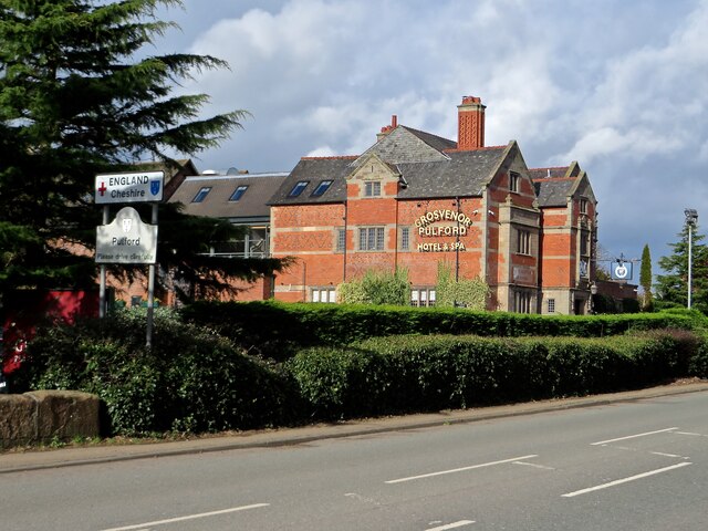
Pulford Castle

Pulford Castle is in the village of Pulford, Cheshire, England, immediately south of St Mary's Church (grid reference SJ375586). It is listed as a Scheduled...

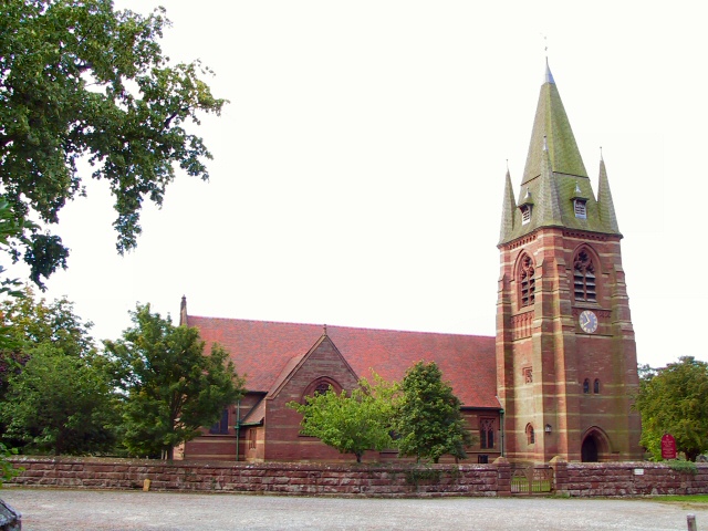
St Mary's Church, Pulford

St Mary's Church is in the village of Pulford, Cheshire, England. The church is recorded in the National Heritage List for England as a designated Grade...
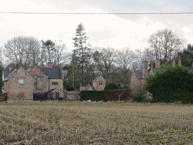
Rossett Hall

Rossett Hall is a mid-eighteenth century Grade II listed Georgian building situated in the village of Rossett, Wrexham County Borough, in the north of...

Nearby Amenities

Located within 500m of 53.11418,-2.930002
Darland
Name Cy: Darland
Name En: Darland
Place: village
Wikidata: Q107032473
Lat/Long: 53.114385/-2.929495
Direction: SSW
Generator Method: photovoltaic
Generator Output Electricity: yes
Generator Solar Modules: 14
Generator Source: solar
Generator Type: solar_photovoltaic_panel
Location: roof
Power: generator
Lat/Long: 53.1131338/-2.9355105
The data included in this document is from www.openstreetmap.org. The data is made available under ODbL.

Have you been to Darland?

Leave your review of Darland below (or comments, questions and feedback).