Darkland

Settlement in Morayshire

Scotland

Darkland

Barley, Innes Another wide verge designed to improve visibility at a crossroads. It would have been taken from the field growing barley in the background.
Barley, Innes Credit: Richard Webb

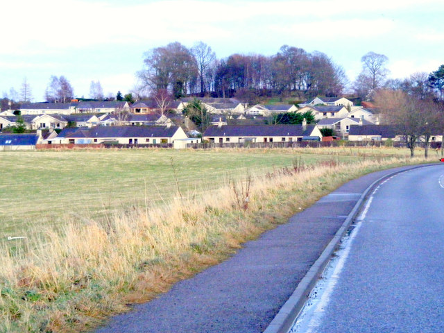
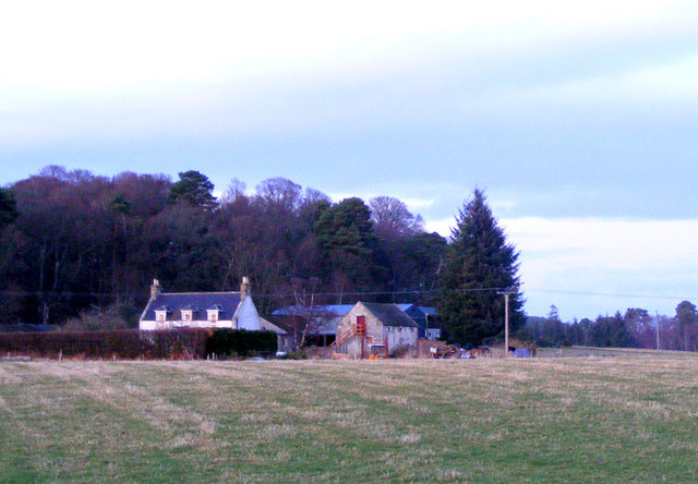
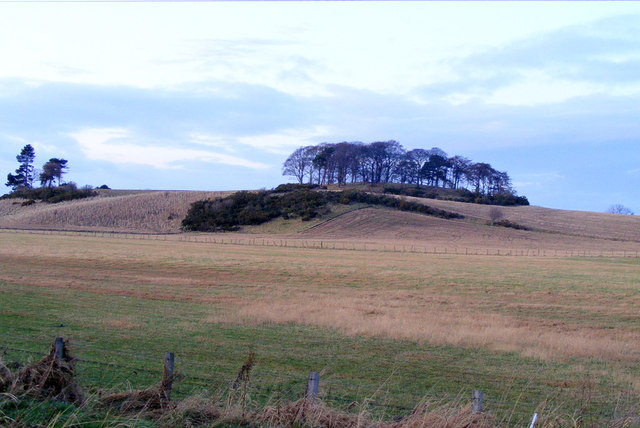
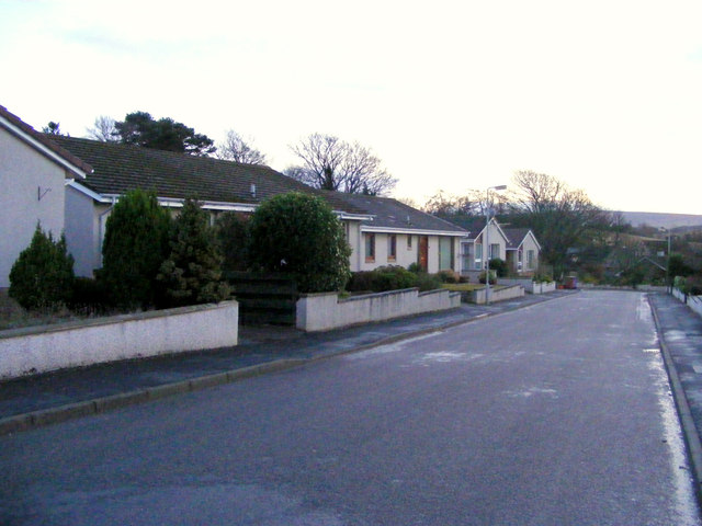
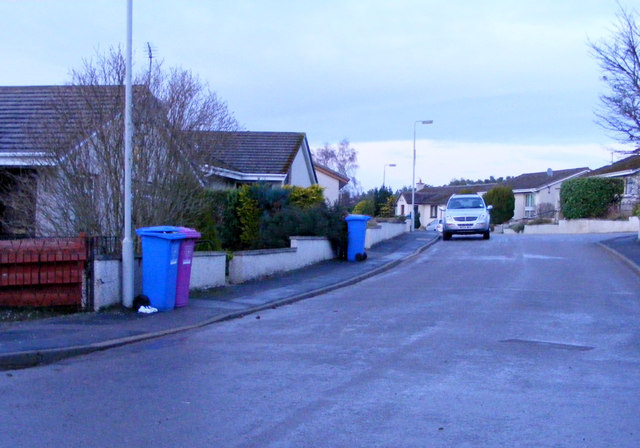
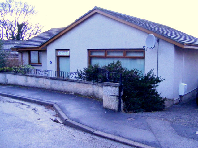
Darkland is a small rural community located in the county of Morayshire, Scotland. Situated amidst the picturesque landscapes of the Scottish Highlands, this tranquil village offers a unique blend of natural beauty and historical significance.

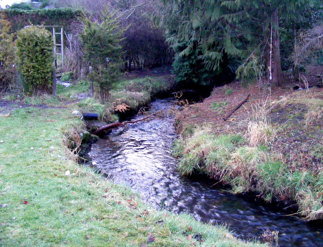
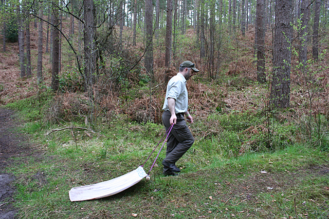
Surrounded by lush greenery and rolling hills, Darkland is a haven for outdoor enthusiasts. The area is renowned for its extensive network of scenic walking trails, providing visitors with the opportunity to explore the enchanting forests and discover hidden waterfalls. The nearby Darkland Loch is a popular spot for fishing and boating, attracting both locals and tourists alike.

Historically, Darkland is known for its ancient ruins and archaeological sites. The village is home to several well-preserved Pictish stones, which date back to the early medieval period. These intricately carved stones offer a glimpse into the region's rich cultural heritage and provide valuable insights into the lives of its ancient inhabitants.

Despite its small size, Darkland boasts a close-knit community that takes great pride in preserving its heritage. The village hosts an annual Highland Games event, where locals and visitors can witness traditional Scottish sports and enjoy traditional music and dancing.

Although Darkland may be off the beaten path, its charm and natural beauty make it a hidden gem in Morayshire. Visitors seeking a peaceful retreat, surrounded by stunning landscapes and steeped in history, will find Darkland to be an idyllic destination.

If you have any feedback on the listing, please let us know in the comments section below.
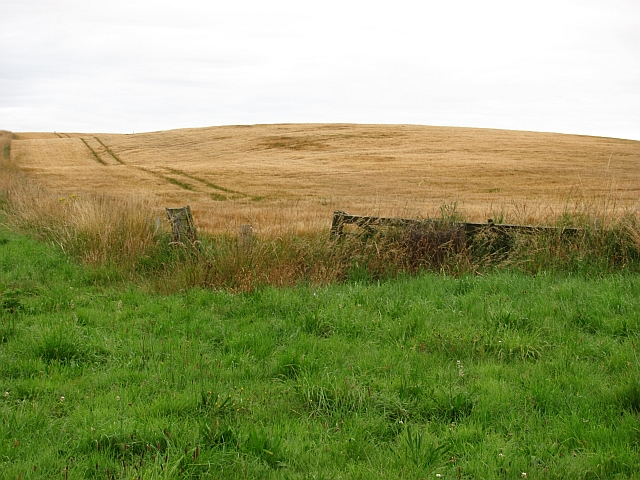
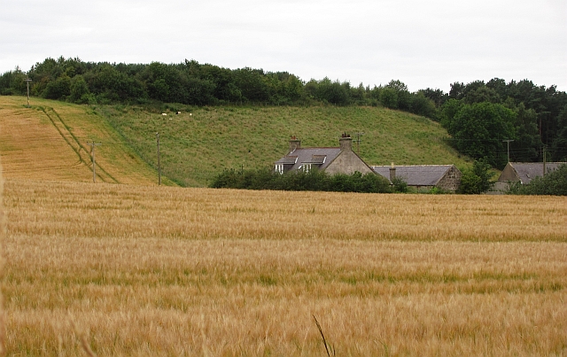
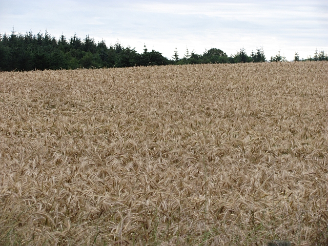
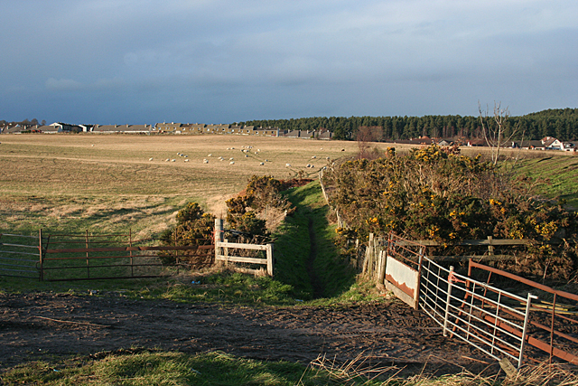
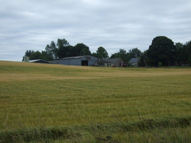
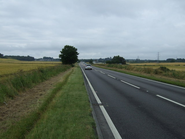
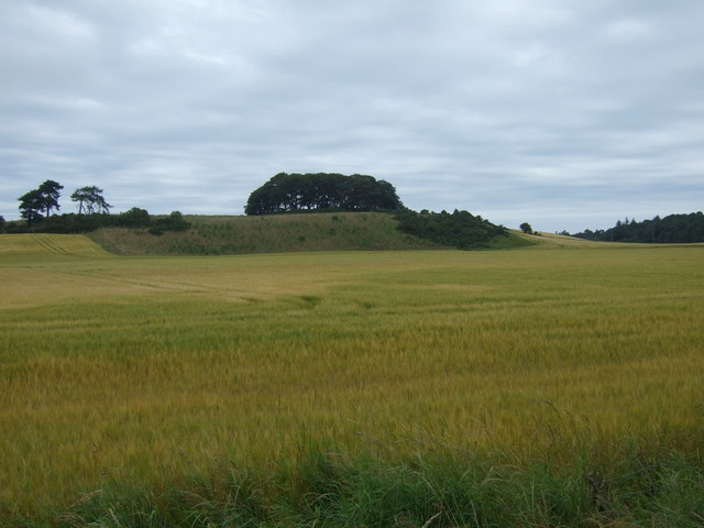
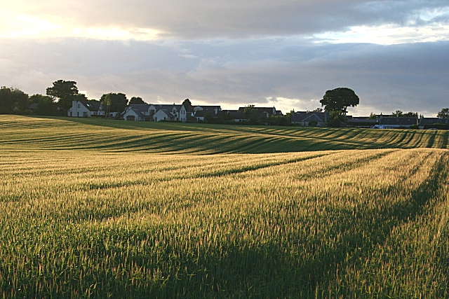
Darkland Images

Images are sourced within 2km of 57.643496/-3.224824 or Grid Reference NJ2662. Thanks to Geograph Open Source API. All images are credited.

Barley, Innes Another wide verge designed to improve visibility at a crossroads. It would have been taken from the field growing barley in the background.
Barley, Innes
Another wide verge designed to improve visibility at a crossroads. It would have been taken from the field growing barley in the background.
Barley, Nether Meft Nether Meft is on the other side of the barley field.
Barley, Nether Meft
Nether Meft is on the other side of the barley field.
Field of barley Barley, usually grown for malting is the big crop in this area, as with all of low lying land along the East of Scotland and northeastern England.
Field of barley
Barley, usually grown for malting is the big crop in this area, as with all of low lying land along the East of Scotland and northeastern England.
Path near Lhanbryde A narrow path leads round the edge of this field to the road to Garmouth. The houses are some of the housing developments in the village of Lhanbryde.
Path near Lhanbryde
A narrow path leads round the edge of this field to the road to Garmouth. The houses are some of the housing developments in the village of Lhanbryde.
Approaching Lhanbryde This village was bypassed in 1995 ,the road was previously part of the A96.
Approaching Lhanbryde
This village was bypassed in 1995 ,the road was previously part of the A96.
Woodside Farm This farm is in close proximity to Lhanbryde village.
Woodside Farm
This farm is in close proximity to Lhanbryde village.
South Darkland Hill
South Darkland Hill
Longhill Burn In Lhanbryde village.
Longhill Burn
In Lhanbryde village.
Kirkhill Drive Lhanbryde
Kirkhill Drive Lhanbryde a cul-de-sac with modern bungalows.
Kirkhill Drive Lhanbryde
a cul-de-sac with modern bungalows.
A Dwelling at Kirkhill Drive. Kirkhill drive is a cul-de-sac of modern bungalows, each one different from the rest.
A Dwelling at Kirkhill Drive.
Kirkhill drive is a cul-de-sac of modern bungalows, each one different from the rest.
I just had to ask ... .... what this man was doing. He explained that he is working for the charity BADA, which is devoted to the prevention of tick-borne diseases. He was using the old towel to collect ticks, and he and his colleagues showed me the dozen or two they had just collected. BADA runs an annual tick awareness week, and offers advice on avoiding tick bites, how to remove ticks if you do get bitten, and on the various diseases the tick can transmit. See <span class="nowrap"><a title="http://www.bada-uk.org/" rel="nofollow ugc noopener" href="http://www.bada-uk.org/">Link</a><img style="margin-left:2px;" alt="External link" title="External link - shift click to open in new window" src="https://s1.geograph.org.uk/img/external.png" width="10" height="10"/></span> for full details.
I just had to ask ...
.... what this man was doing. He explained that he is working for the charity BADA, which is devoted to the prevention of tick-borne diseases. He was using the old towel to collect ticks, and he and his colleagues showed me the dozen or two they had just collected. BADA runs an annual tick awareness week, and offers advice on avoiding tick bites, how to remove ticks if you do get bitten, and on the various diseases the tick can transmit. See LinkExternal link for full details.
Pittensair The farm buildings and house at Pittensair have a rather abandoned look about them.
Pittensair
The farm buildings and house at Pittensair have a rather abandoned look about them.
Sherrifston
Sherrifston
A96 heading south east Towards Keith.
A96 heading south east
Towards Keith.
Crop field, South Darkland
A96 towards Keith  Heading south east.
A96 towards Keith
Heading south east.
Entering, Lhanbryde
Entering, Lhanbryde
Show me another place!

Darkland is located at Grid Ref: NJ2662 (Lat: 57.643496, Lng: -3.224824)

Unitary Authority: Moray

Police Authority: North East

What 3 Words

///circle.debut.newsstand. Near Lhanbryde, Moray

Nearby Locations

Longhill Darkland

Related Wikis

Lhanbryde

Lhanbryde (Gaelic: Lann Brìghde) is a village that lies 4 miles (6.4 km) east of Elgin in Moray, Scotland. Previously bisected by the A96, it was bypassed...

Lhanbryde railway station

Lhanbryde railway station served the village of Lhanbryde, Moray, Scotland from 1858 to 1964 on the Inverness and Aberdeen Junction Railway. == History... ==

Coxton Tower

Coxton Tower is a late sixteenth-century tower house in Moray, Scotland. Heavily fortified, it was built around 1590, with substantive repairs in 1635...

Urquhart, Moray

Urquhart ( ; Scottish Gaelic: Urchard) is a small village in Moray, Scotland. It is approximately 5 miles (8 km) east of Elgin, between the villages of...

Nearby Amenities

Located within 500m of 57.643496,-3.224824
Power: pole
Lat/Long: 57.6408358/-3.2310399
Power: pole
Lat/Long: 57.6404424/-3.2295661
Power: pole
Lat/Long: 57.6400828/-3.2280962
Power: pole
Lat/Long: 57.6396974/-3.2266049
Power: pole
Lat/Long: 57.6395315/-3.2256997
Power: pole
Lat/Long: 57.6392415/-3.2240823
The data included in this document is from www.openstreetmap.org. The data is made available under ODbL.

Have you been to Darkland?

Leave your review of Darkland below (or comments, questions and feedback).