Liley Wood
Wood, Forest in Yorkshire
England
Liley Wood

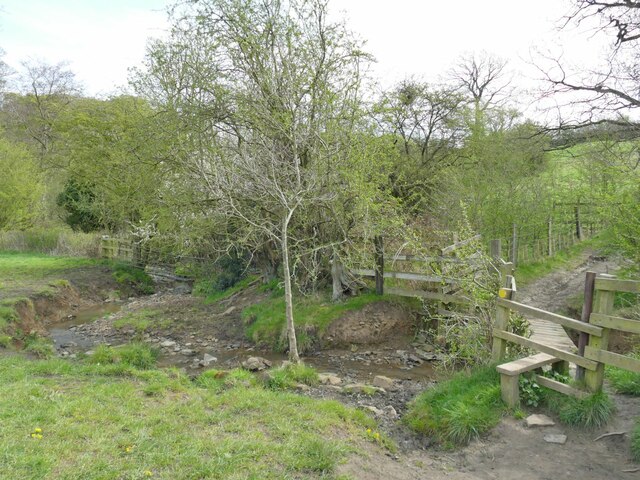
Liley Wood is a captivating forest located in Yorkshire, England. Spanning over a vast area, the wood is home to an array of diverse flora and fauna, making it a haven for nature enthusiasts and wildlife lovers alike.
The forest is characterized by its lush greenery, with towering trees creating a dense canopy that filters the sunlight, casting enchanting shadows on the forest floor. The wood boasts a variety of tree species, including oak, beech, and birch, which contribute to the area's overall biodiversity.
Liley Wood is a paradise for birdwatchers, as it is a favored habitat for numerous avian species. Visitors can spot a wide range of birds, from the melodious song thrush to the majestic tawny owl. Additionally, the wood provides a tranquil setting for woodland creatures such as deer, squirrels, and rabbits, which can often be observed in their natural habitat.
Nature enthusiasts can explore the wood via well-maintained trails that wind their way through the forest, offering breathtaking views and opportunities for peaceful walks. The forest's diverse ecosystem also makes it an ideal spot for educational visits, providing an opportunity to learn about the importance of conservation and sustainable management of woodland habitats.
Liley Wood is not only a sanctuary for wildlife but also a place of respite for visitors seeking solace in nature. Its serene atmosphere and picturesque surroundings make it a popular destination for picnics, photography, and simply enjoying the beauty of the natural world.
If you have any feedback on the listing, please let us know in the comments section below.
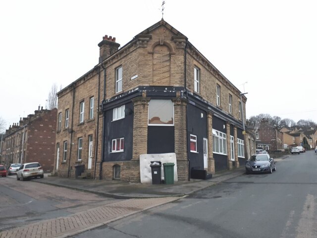
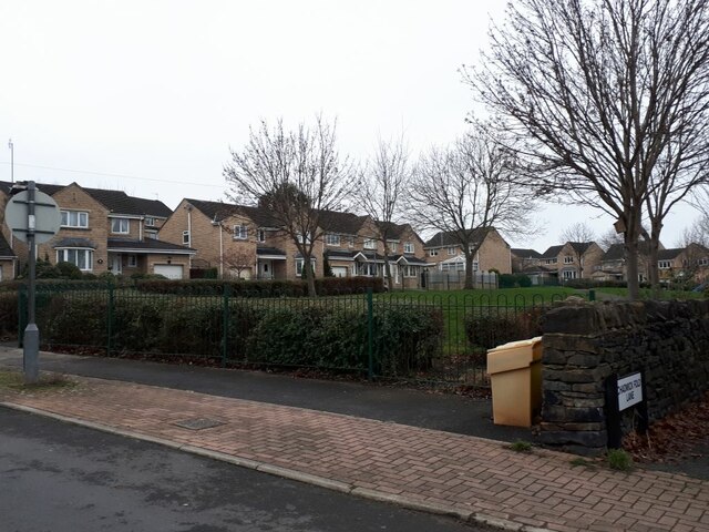
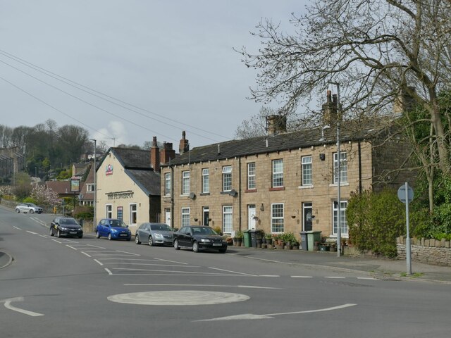
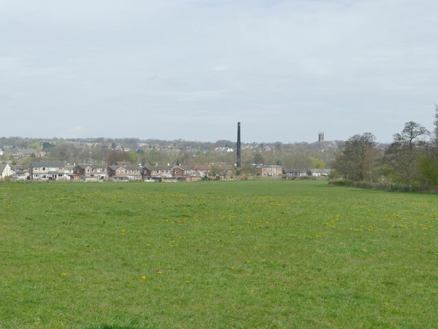
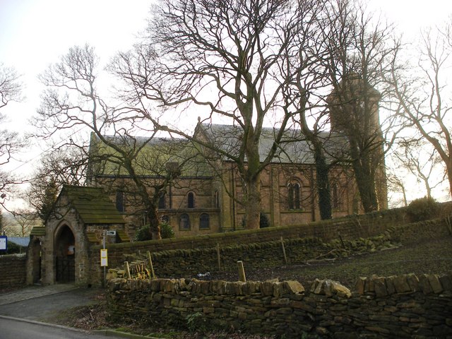
Liley Wood Images
Images are sourced within 2km of 53.654959/-1.6818917 or Grid Reference SE2117. Thanks to Geograph Open Source API. All images are credited.


Liley Wood is located at Grid Ref: SE2117 (Lat: 53.654959, Lng: -1.6818917)
Division: West Riding
Unitary Authority: Kirklees
Police Authority: West Yorkshire
What 3 Words
///monday.stun.ambushes. Near Mirfield, West Yorkshire
Nearby Locations
Related Wikis
Whitley Lower
Whitley Lower is a village near Thornhill in Kirklees, West Yorkshire England. The parish church, dedicated to St Mary and St Michael, is part of the...

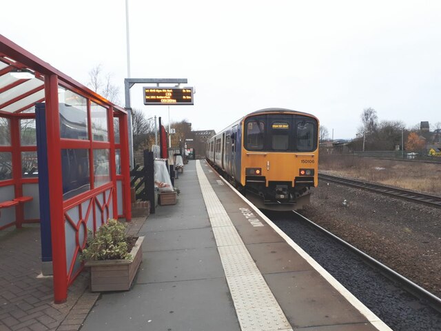
Mirfield railway station
Mirfield railway station serves the town of Mirfield in West Yorkshire, England. It lies on the Huddersfield Line and is managed by both Northern and Grand...

Ledgard Bridge
Ledgard Bridge crosses the River Calder in Mirfield, West Yorkshire, England. It was built in 1800 as a replacement for an earlier bridge in the same location...

Grange Moor
Grange Moor is a village in the civil parish of Kirkburton, in the Kirklees district of West Yorkshire, England, between Huddersfield (6 miles (10 km)...
Nearby Amenities
Located within 500m of 53.654959,-1.6818917Have you been to Liley Wood?
Leave your review of Liley Wood below (or comments, questions and feedback).