Beech Close

Wood, Forest in Hampshire New Forest

England

Beech Close

Junction to Forest Lodge
Junction to Forest Lodge Credit: Dave Thompson

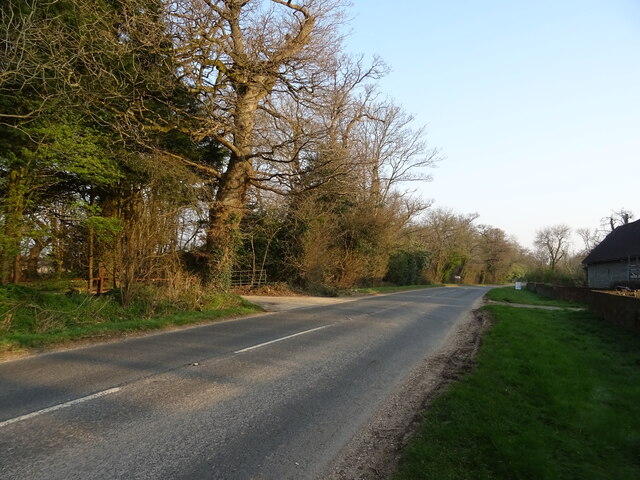
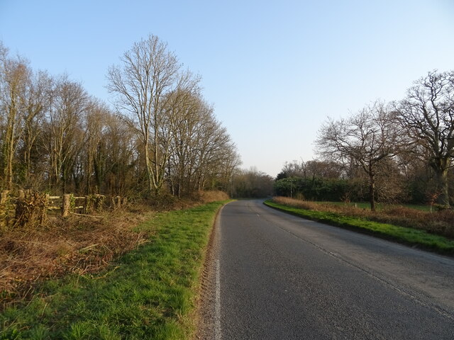
Beech Close is a charming residential area located in Hampshire, England. Situated within a woodland area, it is surrounded by lush greenery and picturesque landscapes, making it an ideal spot for nature lovers and those seeking a peaceful retreat.

The neighborhood is primarily composed of well-maintained houses and cottages, each with its own unique architectural style. Many of these properties are nestled amidst tall beech trees, hence the name Beech Close. This creates a serene and secluded atmosphere, adding to the overall appeal of the area.

Residents of Beech Close benefit from the tranquil surroundings and easy access to nature. The nearby woodlands offer numerous walking and cycling trails, allowing residents to explore the beauty of the forest at their leisure. The area is also home to a variety of wildlife, including birds, squirrels, and deer, further enhancing the natural charm of the neighborhood.

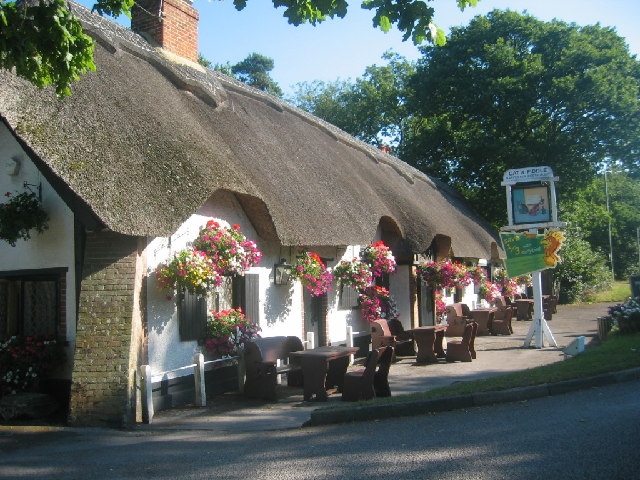
Despite its rural ambiance, Beech Close is conveniently located near local amenities. The nearby town provides a range of shops, supermarkets, and restaurants, ensuring that residents have easy access to everyday necessities.

In conclusion, Beech Close in Hampshire is a delightful residential area surrounded by woodlands and forest. Its peaceful atmosphere, beautiful scenery, and proximity to nature make it an idyllic place to call home for those seeking a tranquil and picturesque lifestyle.

If you have any feedback on the listing, please let us know in the comments section below.
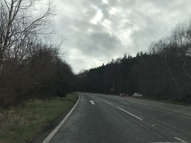
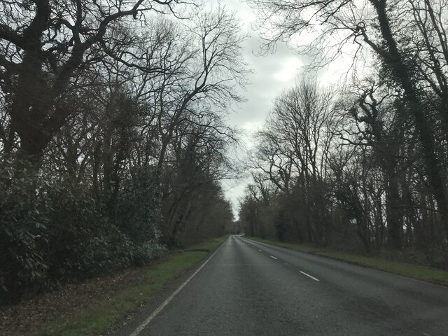
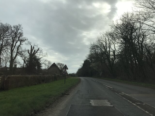
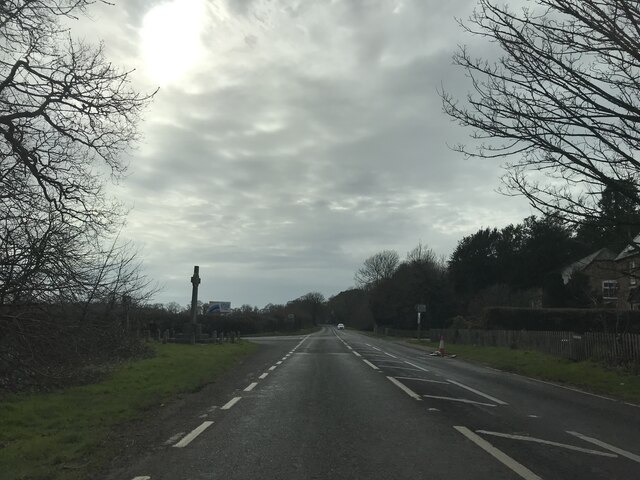
Beech Close Images

Images are sourced within 2km of 50.780404/-1.7017734 or Grid Reference SZ2197. Thanks to Geograph Open Source API. All images are credited.

Junction to Forest Lodge
View on A35 southbound
Signage - A35 southbound
Junction - A35 southbound
East Close Farm
East Close Farm
A35 towards Lyndhurst
The Retreat - New Forest
Sign for the Retreat - New Forest
Woodland beside the A35
A35 towards Lyndhurst  The A35 is a major (and regularly congested) route along England's south coast. It runs for 97 miles, connecting Honiton in Devon with Southampton in Hampshire, via Poole and Bournemouth, with much of its route passing through Dorset and the New Forest. It is a trunk road for some of its length.
<span class="nowrap"><a title="http://www.sabre-roads.org.uk/wiki/index.php?title=A35" rel="nofollow ugc noopener" href="http://www.sabre-roads.org.uk/wiki/index.php?title=A35">Link</a><img style="margin-left:2px;" alt="External link" title="External link - shift click to open in new window" src="https://s1.geograph.org.uk/img/external.png" width="10" height="10"/></span>  SABRE
A35 towards Lyndhurst
The A35 is a major (and regularly congested) route along England's south coast. It runs for 97 miles, connecting Honiton in Devon with Southampton in Hampshire, via Poole and Bournemouth, with much of its route passing through Dorset and the New Forest. It is a trunk road for some of its length. LinkExternal link SABRE
Woodland, North Hinton
Tanner's Close woodland of the A35
A35 towards Lyndhurst  The A35 is a major (and regularly congested) route along England's south coast. It runs for 97 miles, connecting Honiton in Devon with Southampton in Hampshire, via Poole and Bournemouth, with much of its route passing through Dorset and the New Forest. It is a trunk road for some of its length.
<span class="nowrap"><a title="http://www.sabre-roads.org.uk/wiki/index.php?title=A35" rel="nofollow ugc noopener" href="http://www.sabre-roads.org.uk/wiki/index.php?title=A35">Link</a><img style="margin-left:2px;" alt="External link" title="External link - shift click to open in new window" src="https://s1.geograph.org.uk/img/external.png" width="10" height="10"/></span>  SABRE
A35 towards Lyndhurst
The A35 is a major (and regularly congested) route along England's south coast. It runs for 97 miles, connecting Honiton in Devon with Southampton in Hampshire, via Poole and Bournemouth, with much of its route passing through Dorset and the New Forest. It is a trunk road for some of its length. LinkExternal link SABRE
Trees beside the A35
Grazing, Plain Heath
A35 towards Lyndhurst
Grazing off the A35
Grazing off the A35
Show me another place!

Beech Close is located at Grid Ref: SZ2197 (Lat: 50.780404, Lng: -1.7017734)

Administrative County: Hampshire

District: New Forest

Police Authority: Hampshire

What 3 Words

///marker.hovered.blackbird. Near Bransgore, Hampshire

Related Wikis

RAF Holmsley South

Royal Air Force Holmsley South or more simply RAF Holmsley South is a former Royal Air Force station in Hampshire, England. The airfield is located approximately...

East Close House

East Close House in Hinton, Hampshire, near Christchurch, Dorset, is a building of historical significance and a grade II listed building on the English...

Beckley, Hampshire

Beckley is a hamlet in Hampshire, England. It lies in the civil parish of Bransgore. Beckley is mentioned in the Domesday Book of 1086, when it was held...

Hinton, Hampshire

Hinton is a dispersed settlement in the civil parish of Bransgore, in the English county of Hampshire. Hinton is centred on the main A35 road northeast...

Nearby Amenities

Located within 500m of 50.780404,-1.7017734
Bus Stop
Heathfield Farm
Bus: yes
Naptan AtcoCode: 1900HAA09157
Naptan Bearing: SW
Naptan CommonName: Heathfield Farm
Naptan NaptanCode: hamjdatg
Naptan Street: Lyndhurst Road
Naptan Verified: no
Public Transport: platform
Source: naptan_import
Lat/Long: 50.7820095/-1.7046296
Bus Stop
Heathfield Farm
Bus: yes
Naptan AtcoCode: 1900HAA09158
Naptan Bearing: NE
Naptan CommonName: Heathfield Farm
Naptan NaptanCode: hamjdatj
Naptan Street: Lyndhurst Road
Naptan Verified: no
Public Transport: platform
Source: naptan_import
Lat/Long: 50.7820905/-1.7046574
Turning Circle
Lat/Long: 50.7827072/-1.7052358
The data included in this document is from www.openstreetmap.org. The data is made available under ODbL.

Have you been to Beech Close?

Leave your review of Beech Close below (or comments, questions and feedback).