Aston Hale Coppice
Wood, Forest in Gloucestershire Cotswold
England
Aston Hale Coppice

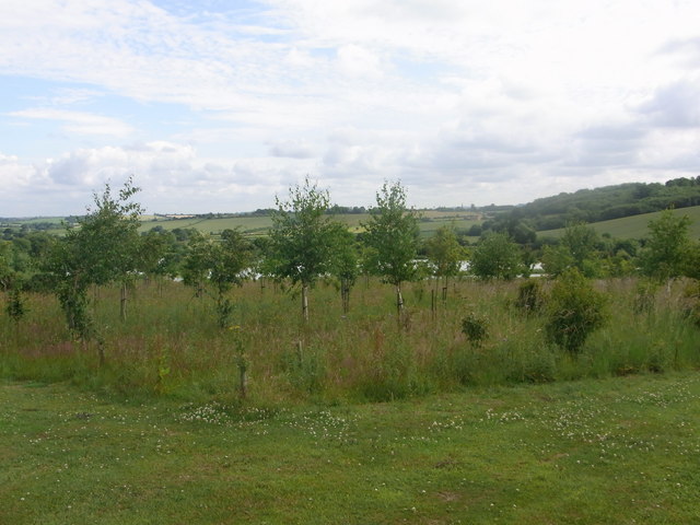
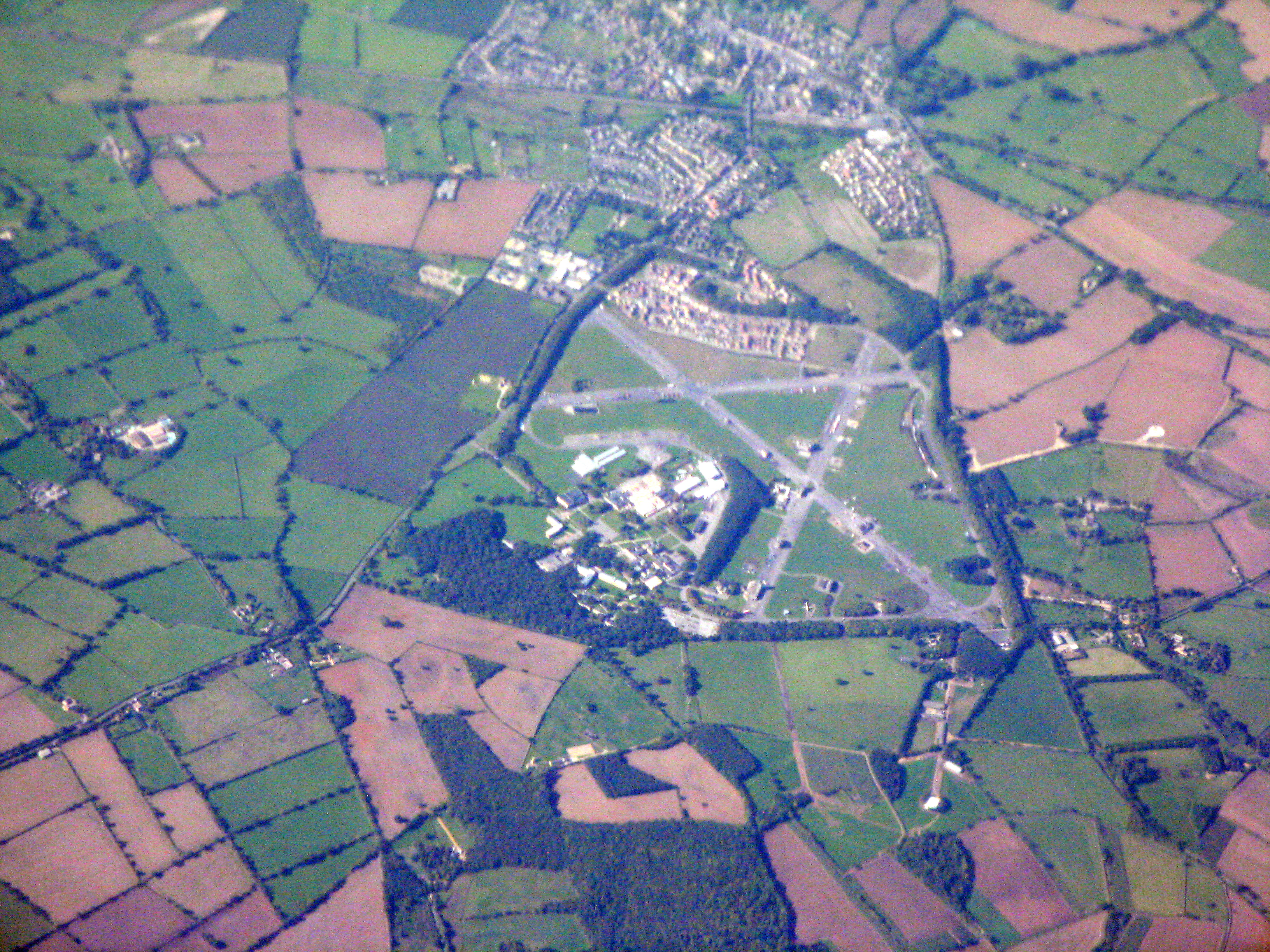
Aston Hale Coppice is a picturesque woodland located in Gloucestershire, England. Covering an area of approximately 50 hectares, it is a stunning natural attraction that offers visitors a serene and tranquil experience. The coppice is situated near the village of Aston Subedge, nestled within the scenic Cotswold countryside.
The woodland is predominantly composed of deciduous trees, including oak, ash, and beech, which provide a rich and diverse habitat for wildlife. Aston Hale Coppice is particularly renowned for its bluebells, which carpet the forest floor in a vibrant display of color during the spring months. This natural phenomenon attracts numerous visitors who come to witness the breathtaking beauty of the bluebell woods.
The coppice has a network of well-maintained footpaths and trails, making it an ideal destination for hikers and nature enthusiasts. Exploring these paths allows visitors to immerse themselves in the peaceful ambiance of the woodland, enjoying the sights and sounds of nature. The chirping of birds, rustling of leaves, and the occasional sighting of deer and other wildlife add to the charm of the forest.
The management of Aston Hale Coppice is overseen by a local conservation organization, ensuring the preservation of its natural beauty and biodiversity. The woodland is open to the public throughout the year, allowing people to enjoy its splendor in all seasons. Whether it's a leisurely stroll, a family picnic, or a photography expedition, Aston Hale Coppice provides a delightful environment for outdoor activities and appreciation of nature's wonders.
If you have any feedback on the listing, please let us know in the comments section below.
Aston Hale Coppice Images
Images are sourced within 2km of 52.009538/-1.6958216 or Grid Reference SP2034. Thanks to Geograph Open Source API. All images are credited.


Aston Hale Coppice is located at Grid Ref: SP2034 (Lat: 52.009538, Lng: -1.6958216)
Administrative County: Gloucestershire
District: Cotswold
Police Authority: Gloucestershire
What 3 Words
///visit.lawyer.deserved. Near Moreton in Marsh, Gloucestershire
Nearby Locations
Related Wikis

Lower Lemington
Lower Lemington is a small village and former civil parish, now in the parish of Batsford, in the Cotswold district of Gloucestershire, England. The village...

Dorn, Gloucestershire
Dorn is a hamlet in the Cotswold district of Gloucestershire, England. The hamlet is about 1 mile north of Moreton-in-Marsh. Dorn lies on the west side...
Church of St Leonard, Lower Lemington
The Anglican Church of St Leonard at Lower Lemington in the parish of Batsford in the Cotswold District of Gloucestershire, England was built in the 12th...
A429 road
The A429 is a main road in England that runs in a north-northeasterly direction from junction 17 of the M4 motorway (4 miles (6.4 km) north of Chippenham...

Aston Magna
Aston Magna is a hamlet located off Fosse Way in north Gloucestershire, England, between Moreton-in-Marsh and Shipston-on-Stour. It forms part of the...

Batsford Road
Batsford Road, sometimes known as Moreton-in-Marsh Cricket Club Ground, is a cricket ground in Moreton-in-Marsh, Gloucestershire. The ground is located...
Fire Service College
The Fire Service College is responsible for providing leadership, management and advanced operational training courses for senior fire officers from the...
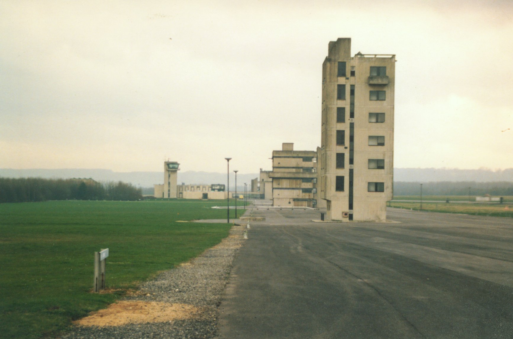
RAF Moreton-in-Marsh
RAF Moreton-in-Marsh was a Royal Air Force station near Moreton-in-Marsh, Gloucestershire. It was opened in November 1940 with three concrete and tarmac...
Nearby Amenities
Located within 500m of 52.009538,-1.6958216Have you been to Aston Hale Coppice?
Leave your review of Aston Hale Coppice below (or comments, questions and feedback).