Bargain Wood
Wood, Forest in Warwickshire Stratford-on-Avon
England
Bargain Wood

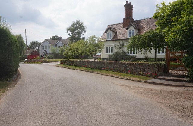
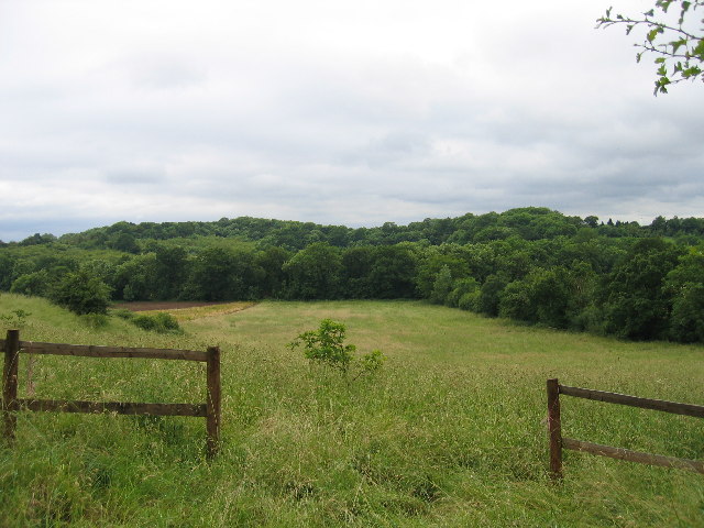
Bargain Wood is a picturesque forest located in the county of Warwickshire, England. Covering an area of approximately 100 acres, it is a popular destination for nature lovers and outdoor enthusiasts. The wood is situated near the village of Bargain, hence its name, and is easily accessible by both car and public transportation.
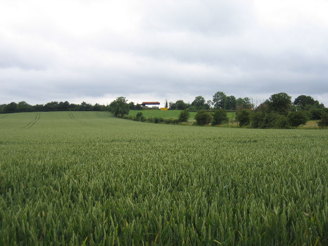
The woodland is characterized by its diverse range of tree species, including oak, birch, beech, and ash, which create a vibrant and colorful landscape throughout the year. The forest floor is covered with a lush carpet of ferns, wildflowers, and moss, enhancing its natural beauty.
Bargain Wood is home to an array of wildlife, making it an ideal spot for birdwatching and animal spotting. Visitors may encounter various species such as woodpeckers, owls, foxes, deer, and squirrels. The forest also boasts a small pond that attracts frogs, newts, and other aquatic creatures.
The wood offers a network of well-maintained footpaths and trails, allowing visitors to explore its enchanting surroundings. It is a haven for hikers, joggers, and dog walkers, providing a peaceful and tranquil setting away from the hustle and bustle of everyday life.
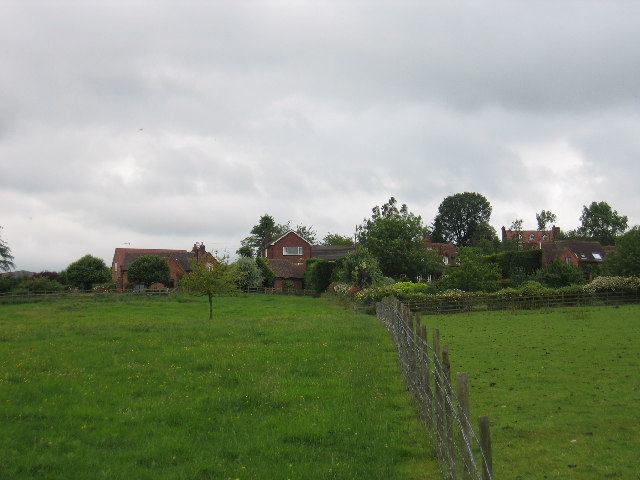
Bargain Wood is managed by the local authorities, ensuring its preservation and conservation for future generations. It is open to the public throughout the year, providing a wonderful opportunity to reconnect with nature and enjoy the beauty of Warwickshire's countryside.
If you have any feedback on the listing, please let us know in the comments section below.
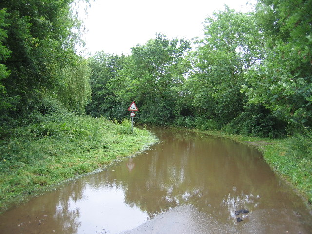
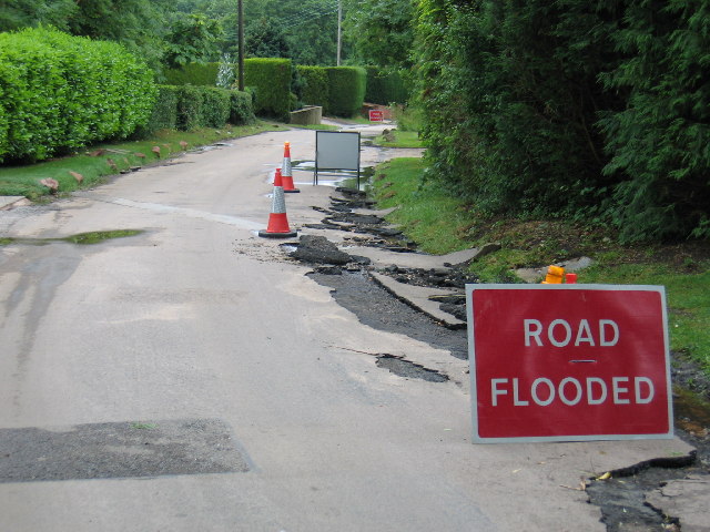
Bargain Wood Images
Images are sourced within 2km of 52.266136/-1.6990084 or Grid Reference SP2063. Thanks to Geograph Open Source API. All images are credited.


Bargain Wood is located at Grid Ref: SP2063 (Lat: 52.266136, Lng: -1.6990084)
Administrative County: Warwickshire
District: Stratford-on-Avon
Police Authority: Warwickshire
What 3 Words
///supple.swaps.scrambles. Near Hatton, Warwickshire
Nearby Locations
Related Wikis

Wolverton, Warwickshire
Wolverton is a village in the Stratford-on-Avon District of Warwickshire, England. The population at the 2011 census was 212. == Heritage == Roman artefacts...

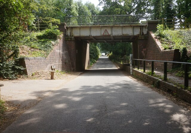
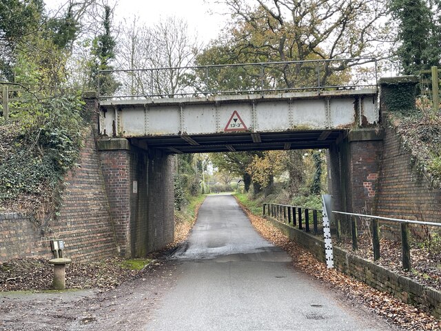
Claverdon railway station
Claverdon railway station serves the village of Claverdon in Warwickshire, England. It is managed by West Midlands Railway, although most of the services...

Langley, Warwickshire
Langley is a village and civil parish in the Stratford-on-Avon district of Warwickshire, England. The village is about 6 miles (10 km) west from the county...

Claverdon
Claverdon is a village and civil parish in the Stratford-on-Avon district of Warwickshire, England, about 5 miles (8.0 km) west of the county town of Warwick...
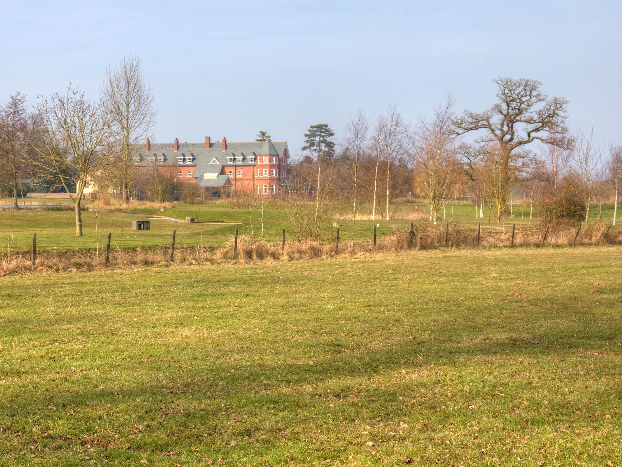
Ardencote Manor
Ardencote Manor is a hotel and former manor house located 0.5 miles (0.8 km) north of the village of Claverdon, Warwickshire, England. The manor was originally...
Pinley Priory
Pinley Priory, also called Pinley Abbey, was a Cistercian nunnery in the parish of Rowington in Warwickshire, England. It was founded in the early 12th...
Barnmoor Green
Barnmoor Green is a village in Warwickshire, England. For populations details see Claverdon.

Norton Lindsey
Norton Lindsey is a village and civil parish in Warwickshire, England, 3.5 miles south-west of the tourist and county town of Warwick and a mile west of...
Nearby Amenities
Located within 500m of 52.266136,-1.6990084Have you been to Bargain Wood?
Leave your review of Bargain Wood below (or comments, questions and feedback).