Nunnery Coppice

Wood, Forest in Warwickshire Warwick

England

Nunnery Coppice

Bakehouse Lane, Chadwick End From Birmingham Road
Bakehouse Lane, Chadwick End Credit: David Howard

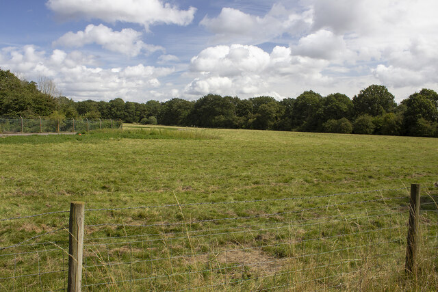
Nunnery Coppice, located in Warwickshire, England, is a beautiful woodland area that covers approximately 40 hectares of land. This ancient woodland is nestled within the larger Coombe Country Park, offering visitors a tranquil and picturesque setting to explore and enjoy.

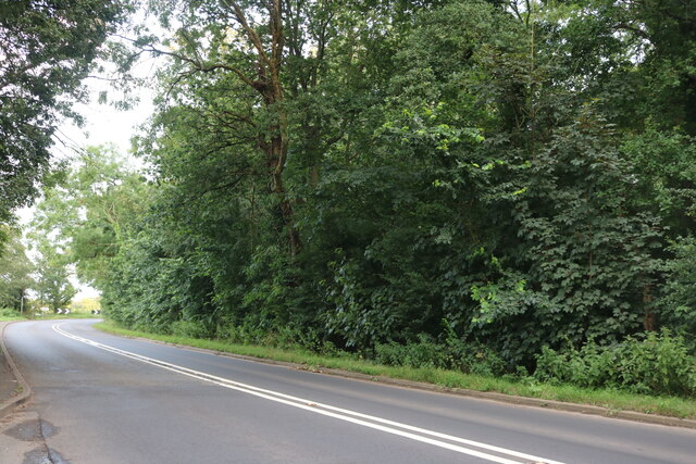
The forest is characterized by a variety of tree species, including oak, ash, birch, and beech, which create a diverse and vibrant ecosystem. The dense canopy provides a sheltered habitat for a wide range of wildlife, including birds, mammals, and insects. Nature enthusiasts can expect to spot species such as woodpeckers, deer, and butterflies as they wander through the woodland.

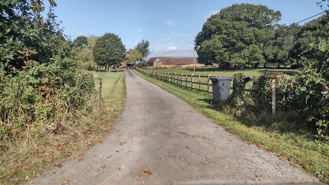
Nunnery Coppice is also home to several walking trails, offering visitors the opportunity to immerse themselves in the natural beauty of the area. These well-maintained paths wind through the forest, providing glimpses of enchanting clearings and babbling brooks along the way. The trails are suitable for all levels of fitness and are a popular destination for families, dog walkers, and nature lovers.

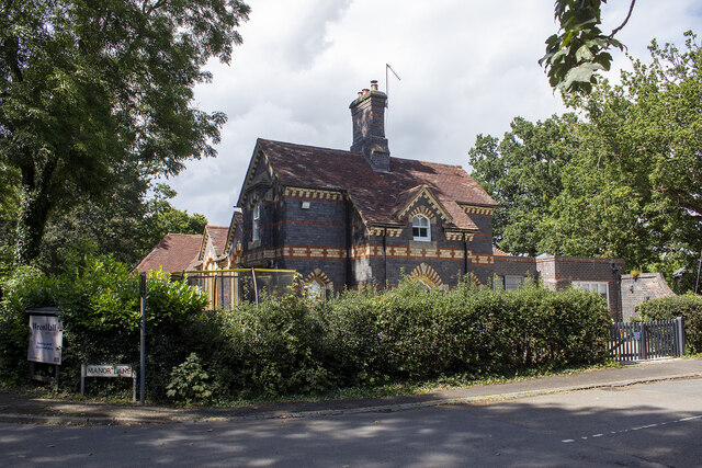
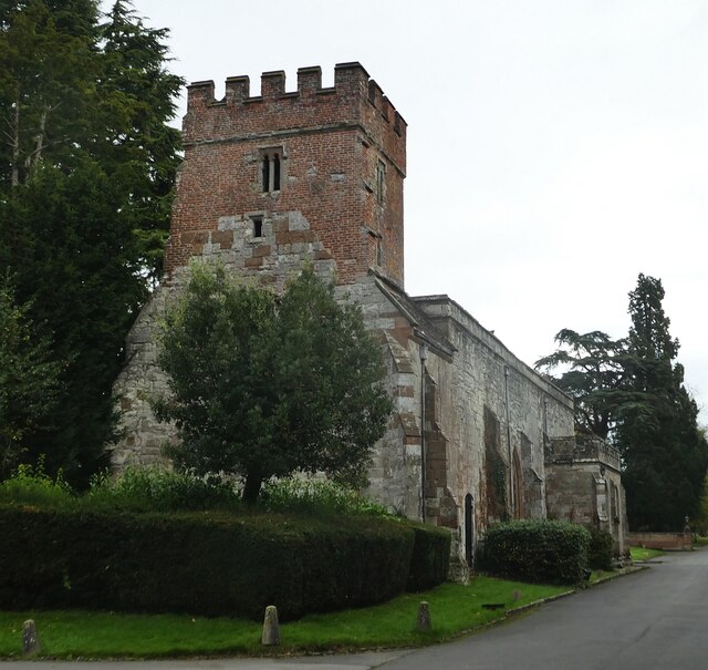
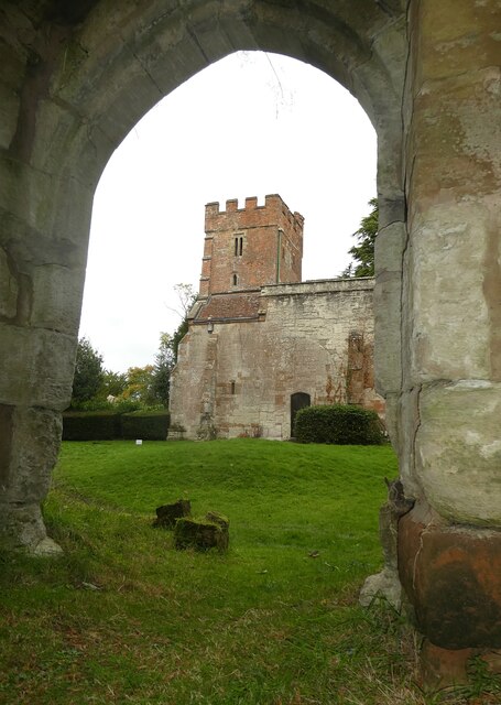
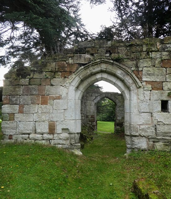
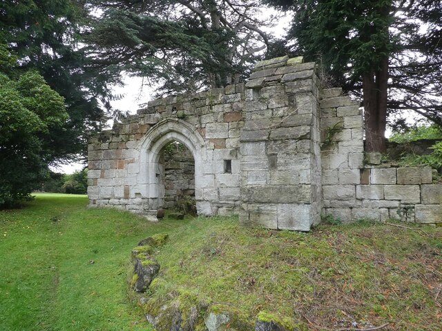
In addition to its natural beauty, Nunnery Coppice holds historical significance. The name itself suggests a connection to a religious institution, hinting at a potential monastic past. Visitors can explore the area to discover ancient remnants or learn more about the history from interpretive signage located throughout the forest.

Overall, Nunnery Coppice in Warwickshire is a haven for those seeking solace in nature. With its diverse range of flora and fauna, picturesque trails, and historical intrigue, it offers a delightful experience for all who venture into its woodland embrace.

If you have any feedback on the listing, please let us know in the comments section below.

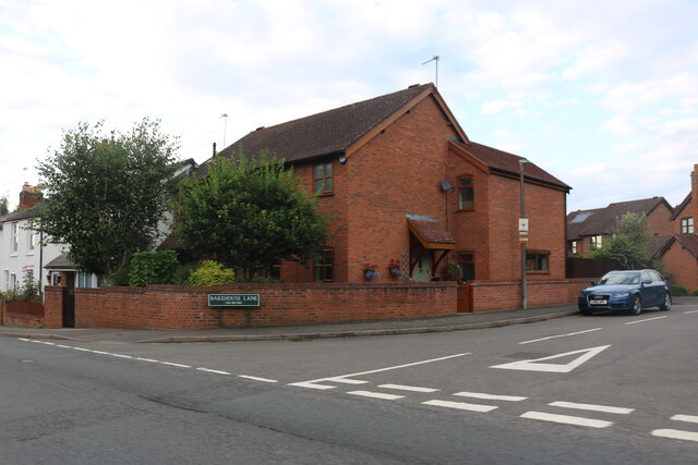
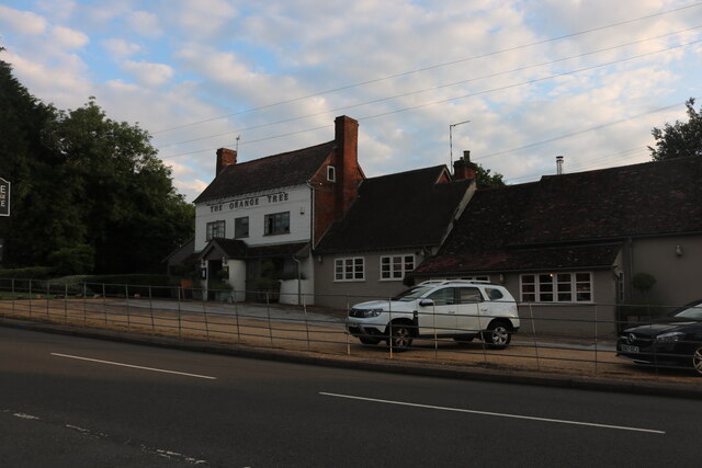
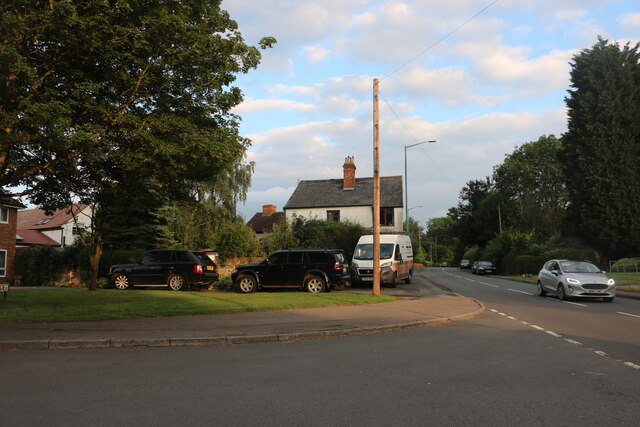
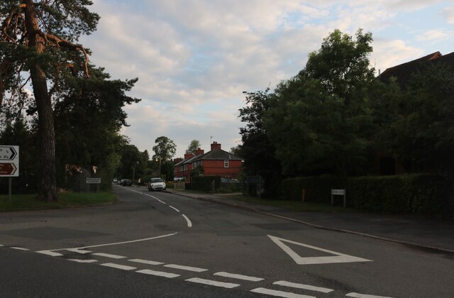
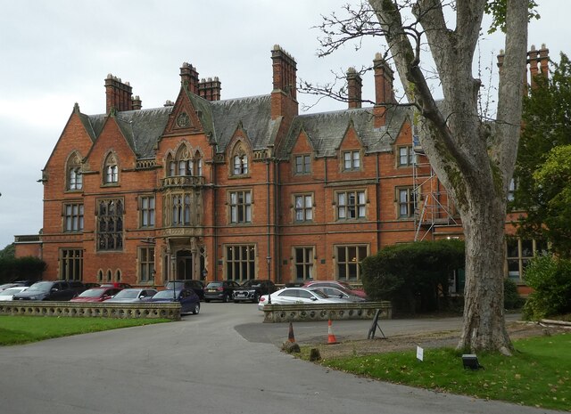
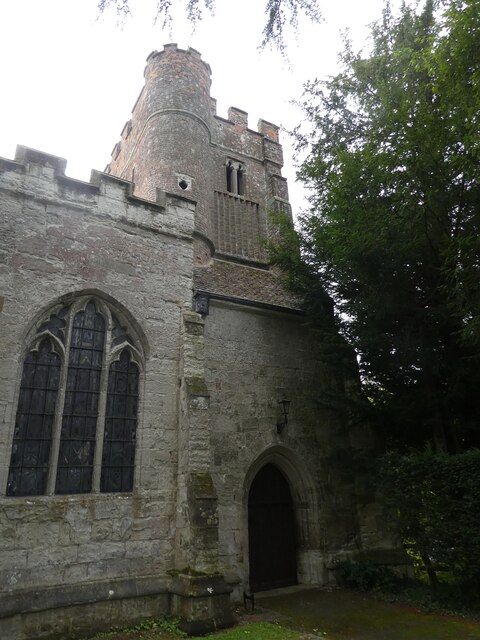
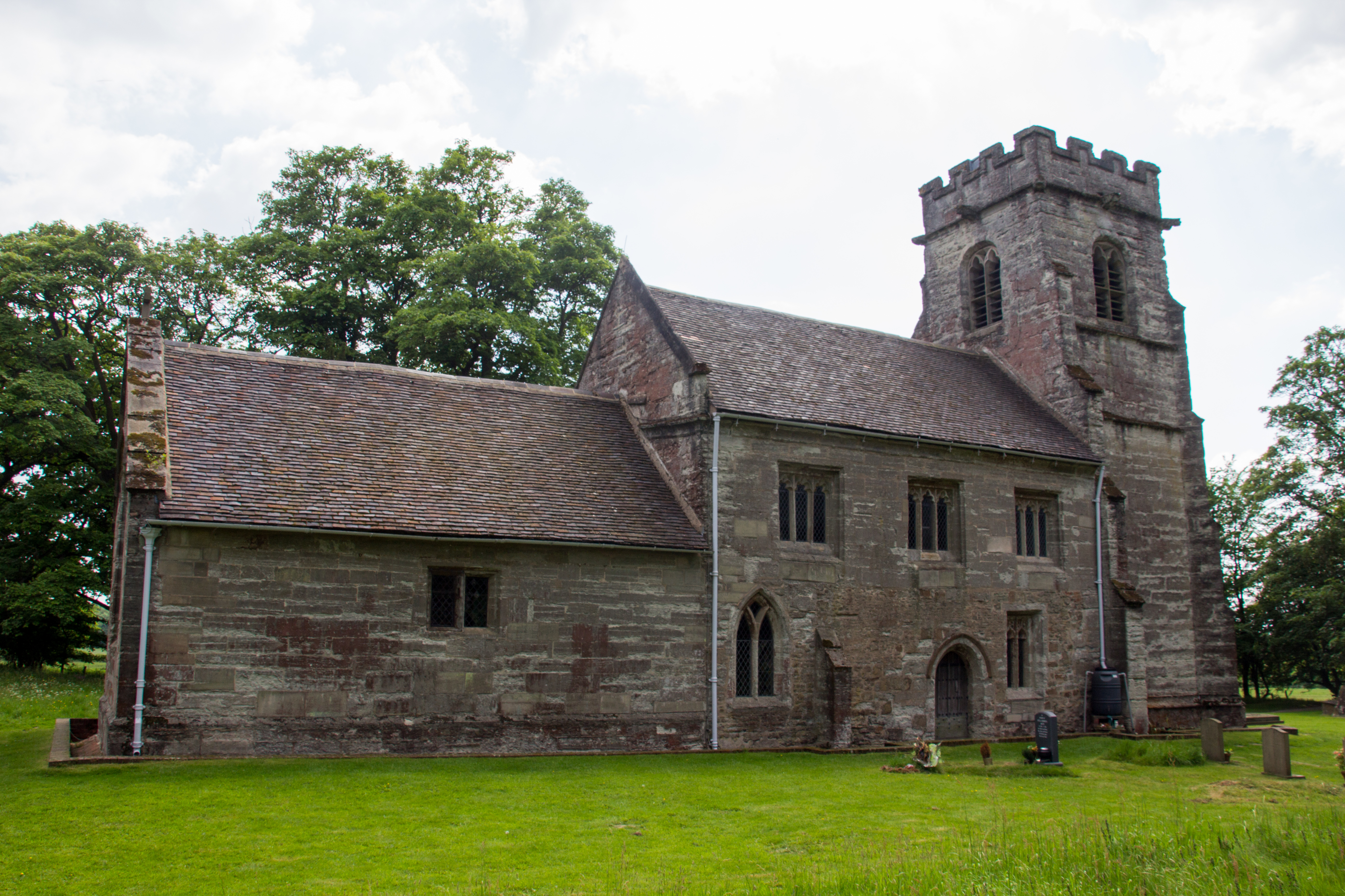
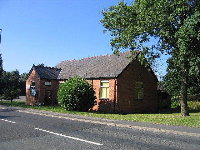
Nunnery Coppice Images

Images are sourced within 2km of 52.344638/-1.6985494 or Grid Reference SP2071. Thanks to Geograph Open Source API. All images are credited.

Bakehouse Lane, Chadwick End From Birmingham Road
Bakehouse Lane, Chadwick End
From Birmingham Road
The Orange Tree, Chadwick End
Warwick Road, Chadwick End
Rising Lane, Baddesley Clinton
Woodland off School Lane Field and woodland off School Lane. Perimeter fence to Jaguar Land Rover facility
Woodland off School Lane
Field and woodland off School Lane. Perimeter fence to Jaguar Land Rover facility
Wroxall School House
Birmingham Road, Baddesley Clinton
The entrance to Pheasant Lakes Farm, Wroxall
Birmingham Road, Wroxall
Path up to Green Farm Path and drive up to Green Farm
Path up to Green Farm
Path and drive up to Green Farm
Rising Lane Rising Lane passing the turn to Mousley End
Rising Lane
Rising Lane passing the turn to Mousley End
Wroxall Abbey - Church of St Leonard Dating originally from c.1315 with the west tower (seen prominently here) added in c.1663. It takes its dedication from the former St Leonard's priory, the ruins of which lie to its south. The church is to the east of the C19th Wroxall Abbey which was never actually an abbey. See shared description below for more information and links.
Wroxall Abbey - Church of St Leonard
Dating originally from c.1315 with the west tower (seen prominently here) added in c.1663. It takes its dedication from the former St Leonard's priory, the ruins of which lie to its south. The church is to the east of the C19th Wroxall Abbey which was never actually an abbey. See shared description below for more information and links.
Wroxall Abbey - St Leonard's church through priory arch Taken from inside the ruins of St Leonard's Priory looking through its northern arch to the tower of St Leonard's church. See shared description for more information.
Wroxall Abbey - St Leonard's church through priory arch
Taken from inside the ruins of St Leonard's Priory looking through its northern arch to the tower of St Leonard's church. See shared description for more information.
Wroxall Abbey - Arches of ruined St Leonard's priory Looking through the northern arch of part of the ruins of St Leonard's Priory (probably the former frater) through to the arch in its southern wall.
See also <a href="https://www.geograph.org.uk/photo/7006464">SP2270 : Wroxall Abbey - St Leonard's Priory ruins (frater)</a>
and <a href="https://www.geograph.org.uk/photo/7006832">SP2270 : Wroxall Abbey - St Leonard's Priory ruins (chapter house)</a>
and <a href="https://www.geograph.org.uk/photo/7006840">SP2270 : Wroxall Abbey - St Leonard's Priory ruins (both parts)</a>
and shared description below.
Wroxall Abbey - Arches of ruined St Leonard's priory
Looking through the northern arch of part of the ruins of St Leonard's Priory (probably the former frater) through to the arch in its southern wall. See also SP2270 : Wroxall Abbey - St Leonard's Priory ruins (frater) and SP2270 : Wroxall Abbey - St Leonard's Priory ruins (chapter house) and SP2270 : Wroxall Abbey - St Leonard's Priory ruins (both parts) and shared description below.
Wroxall Abbey - St Leonard's Priory ruins (frater) There are two main clumps of ruins of St Leonard's Priory at Wroxall Abbey - this is the most complete which lies to the WSW of the other remains (see <a href="https://www.geograph.org.uk/photo/7006832">SP2270 : Wroxall Abbey - St Leonard's Priory ruins (chapter house)</a>). It is thought that part of this ruin is the former priory frater, with a screens passage to the eastern end.
See also <a href="https://www.geograph.org.uk/photo/7006459">SP2270 : Wroxall Abbey - Arches of ruined St Leonard's priory</a>
and <a href="https://www.geograph.org.uk/photo/7006840">SP2270 : Wroxall Abbey - St Leonard's Priory ruins (both parts)</a>
and shared description below.
Wroxall Abbey - St Leonard's Priory ruins (frater)
There are two main clumps of ruins of St Leonard's Priory at Wroxall Abbey - this is the most complete which lies to the WSW of the other remains (see SP2270 : Wroxall Abbey - St Leonard's Priory ruins (chapter house)). It is thought that part of this ruin is the former priory frater, with a screens passage to the eastern end. See also SP2270 : Wroxall Abbey - Arches of ruined St Leonard's priory and SP2270 : Wroxall Abbey - St Leonard's Priory ruins (both parts) and shared description below.
Wroxall Abbey - rear view The rear (western) aspect of Wroxall Abbey. See shared description for more information.
Wroxall Abbey - rear view
The rear (western) aspect of Wroxall Abbey. See shared description for more information.
Wroxall Abbey - front The front of Wroxall Abbey which is now a hotel and spa. See shared description below.
Wroxall Abbey - front
The front of Wroxall Abbey which is now a hotel and spa. See shared description below.
Wroxall Abbey - St Leonard's church tower Although the church dates from 1315 originally the tower was added (probably replacing an earlier one) in 1663 and is substantially made of brick rather than the stone of the earlier building.
Wroxall Abbey - St Leonard's church tower
Although the church dates from 1315 originally the tower was added (probably replacing an earlier one) in 1663 and is substantially made of brick rather than the stone of the earlier building.
Show me another place!

Nunnery Coppice is located at Grid Ref: SP2071 (Lat: 52.344638, Lng: -1.6985494)

Administrative County: Warwickshire

District: Warwick

Police Authority: Warwickshire

What 3 Words

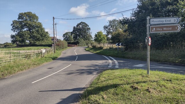
///empires.promising.joggers. Near Wroxall, Warwickshire

Related Wikis

Nearby Amenities

Located within 500m of 52.344638,-1.6985494
Generator Method: photovoltaic
Generator Output Electricity: yes
Generator Source: solar
Generator Type: solar_photovoltaic_panel
Location: roof
Power: generator
Lat/Long: 52.3485567/-1.6971651
Power: pole
Source: bing
Lat/Long: 52.3414584/-1.7028594
Power: pole
Source: bing
Lat/Long: 52.341896/-1.7014217
Power: pole
Source: bing
Lat/Long: 52.3425662/-1.7014888
Power: pole
Source: bing
Lat/Long: 52.3435903/-1.7015827
Power: pole
Source: bing
Lat/Long: 52.3442573/-1.7017704
Power: pole
Source: bing
Lat/Long: 52.3450225/-1.7020319
Power: pole
Ref: 720857
Source: wpd_opendata
Transformer: distribution
Lat/Long: 52.3456337/-1.7022264
Power: pole
Source: bing
Lat/Long: 52.3463726/-1.7022599
Power: pole
Source: bing
Lat/Long: 52.3470248/-1.7022237
Power: pole
Source: bing
Lat/Long: 52.3477375/-1.7020373
Power: pole
Source: bing
Lat/Long: 52.3483134/-1.7019957
Power: pole
Ref: 720414
Source: wpd_opendata
Transformer: distribution
Lat/Long: 52.3491171/-1.6989005
The data included in this document is from www.openstreetmap.org. The data is made available under ODbL.

Have you been to Nunnery Coppice?

Leave your review of Nunnery Coppice below (or comments, questions and feedback).