Linden Copse
Wood, Forest in Wiltshire
England
Linden Copse
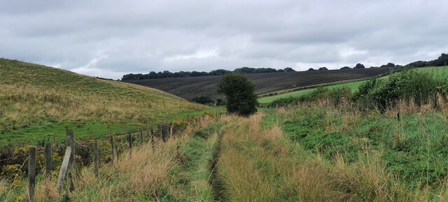
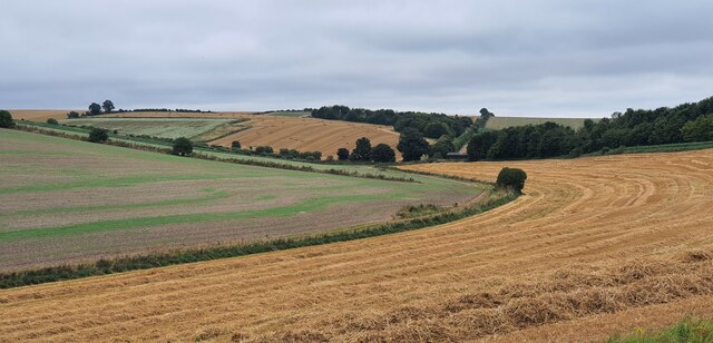
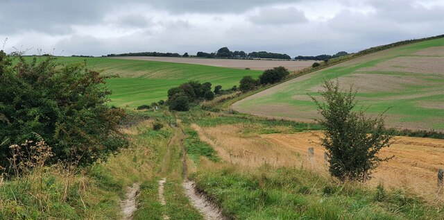
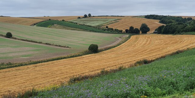
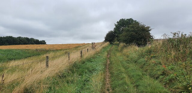
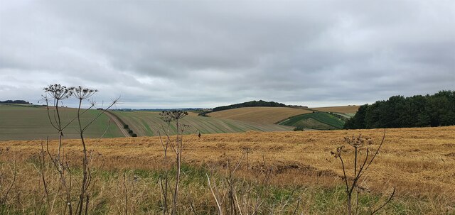
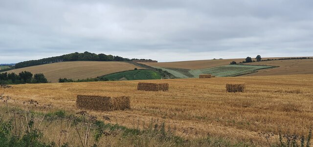
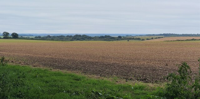
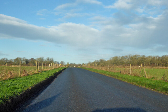
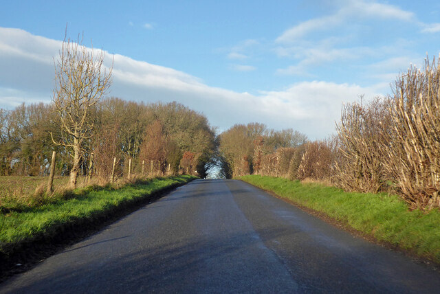
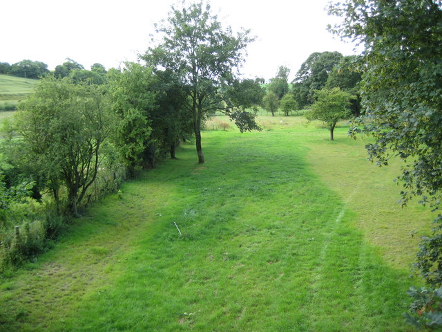
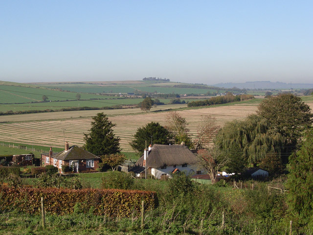
Linden Copse is a picturesque woodland located in the county of Wiltshire, England. Covering an area of approximately 50 acres, it is a tranquil and serene haven for nature enthusiasts and outdoor lovers alike.
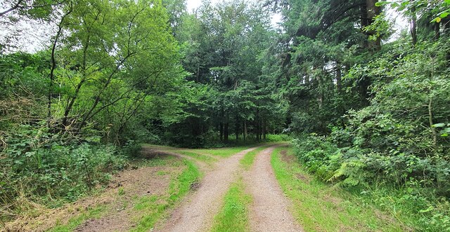
The copse is predominantly made up of linden trees, which lend the woodland its name. These majestic trees, with their heart-shaped leaves and fragrant blossoms, create a stunning canopy overhead. The dappled sunlight filtering through the dense foliage adds to the ethereal beauty of the woodland.
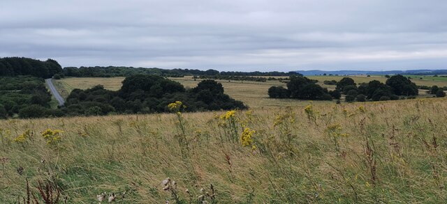
Linden Copse is home to a diverse range of flora and fauna, making it a haven for wildlife. Visitors can expect to encounter a multitude of bird species, including woodpeckers, owls, and various songbirds. The woodland floor is carpeted with a rich tapestry of wildflowers, such as bluebells, primroses, and violets, creating a vibrant and colorful display throughout the year.
Walking trails wind their way through the copse, offering visitors the opportunity to explore and immerse themselves in the natural beauty of the surroundings. The peaceful ambiance of the woodland makes it an ideal spot for a leisurely stroll, a family picnic, or simply a moment of solitude and reflection.
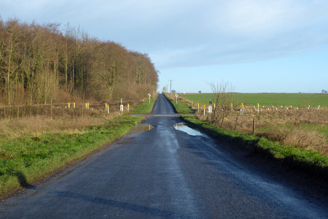
Linden Copse is open to the public year-round, with no admission fee. It is easily accessible by car, with ample parking available nearby. Whether you are a nature enthusiast, a keen photographer, or simply seeking a quiet retreat from the hustle and bustle of everyday life, Linden Copse is a must-visit destination in Wiltshire.
If you have any feedback on the listing, please let us know in the comments section below.
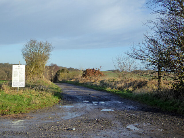
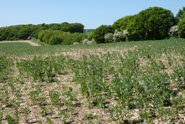
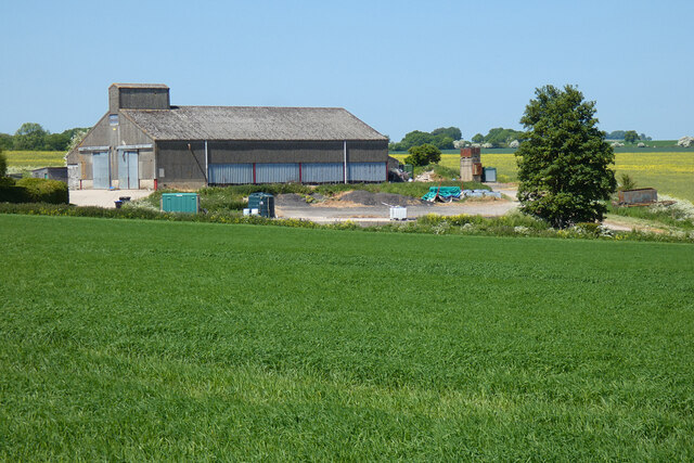
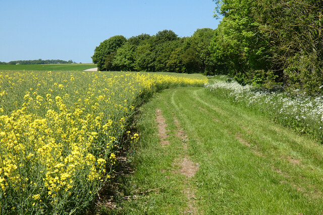
Linden Copse Images
Images are sourced within 2km of 51.30223/-1.709022 or Grid Reference SU2055. Thanks to Geograph Open Source API. All images are credited.
Linden Copse is located at Grid Ref: SU2055 (Lat: 51.30223, Lng: -1.709022)
Unitary Authority: Wiltshire
Police Authority: Wiltshire
What 3 Words
///ideal.plant.incursion. Near Collingbourne Kingston, Wiltshire
Nearby Locations
Related Wikis

St Peter's Church, Everleigh
St Peter's Church, in Everleigh, Wiltshire, England was built in 1813 by John Morlidge for F.D. Astley. It is recorded in the National Heritage List for...

Everleigh, Wiltshire
Everleigh, pronounced and also sometimes spelt Everley, is a village and civil parish in east Wiltshire, England, about 4+1⁄2 miles (7 km) southeast of...
Collingbourne Kingston
Collingbourne Kingston is a village and civil parish about 8 miles (13 km) south of the market town of Marlborough in Wiltshire, England. The village,...

Aughton, Wiltshire
Aughton is a hamlet adjacent to the village of Collingbourne Kingston in Wiltshire, England. Aughton took its name from Aeffe, the owner in the 10th century...
Collingbourne Kingston Halt railway station
Collingbourne Kingston Halt was a small railway station that served the village of Collingbourne Kingston in Wiltshire, England for less than 30 years...

Brunton House
Brunton House is a Grade II* listed house in Brunton, Wiltshire, England. It dates from the late seventeenth or early eighteenth centuries and is of brick...
Brunton, Wiltshire
Brunton is a hamlet adjacent to the village of Collingbourne Kingston in Wiltshire, England. Records of Brunton's existence date back to the 10th century...
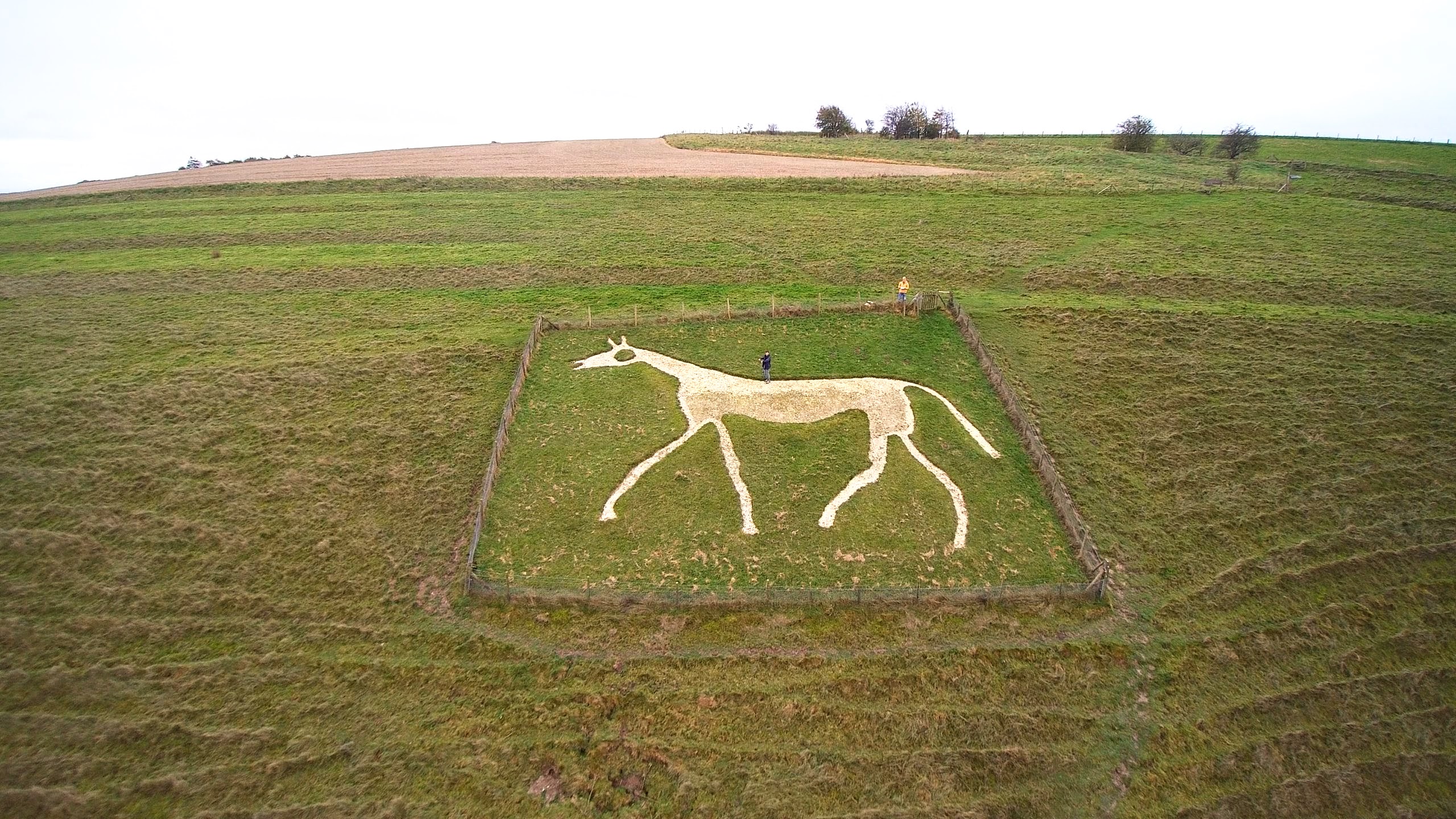
Pewsey White Horse
Pewsey White Horse is a hill figure of a white horse near the village of Pewsey, Wiltshire, England. Cut of chalk in 1937, it replaces an earlier horse...
Nearby Amenities
Located within 500m of 51.30223,-1.709022Have you been to Linden Copse?
Leave your review of Linden Copse below (or comments, questions and feedback).