The Rookery
Wood, Forest in Wiltshire
England
The Rookery

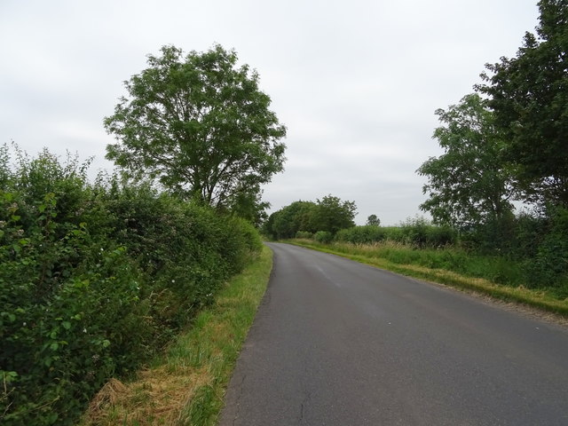
The Rookery is a picturesque woodland located in Wiltshire, England. Situated near the village of Wood, this forested area spans over a vast expanse of approximately 100 acres. The Rookery is renowned for its natural beauty, making it a popular destination for nature enthusiasts and outdoor adventurers.
The woodland is characterized by its diverse ecosystem, featuring a mix of towering oak, beech, and pine trees. The forest floor is carpeted with a rich variety of flora, including bluebells, primroses, and wild garlic, creating a vibrant and colorful display during the spring and summer months.
The Rookery is home to a thriving wildlife population, with several species of birds, mammals, and insects making their habitat within its boundaries. Birdwatchers can spot a range of avian species, such as woodpeckers, owls, and nuthatches, while lucky visitors may even catch a glimpse of the elusive deer or fox that roam the forest.
The woodland offers a network of well-maintained trails, allowing visitors to explore its beauty on foot. Hikers and walkers can enjoy a leisurely stroll or embark on longer treks, immersing themselves in the tranquility of the forest.
In addition to its natural attractions, The Rookery also boasts a visitor center that provides information about the local wildlife and history of the area. Guided tours and educational programs are available, offering visitors the opportunity to learn more about the flora and fauna that call The Rookery their home.
Overall, The Rookery in Wiltshire is a captivating woodland destination that offers a serene and immersive experience for nature lovers and those seeking a peaceful retreat amidst the beauty of the English countryside.
If you have any feedback on the listing, please let us know in the comments section below.
The Rookery Images
Images are sourced within 2km of 51.612327/-1.707291 or Grid Reference SU2090. Thanks to Geograph Open Source API. All images are credited.


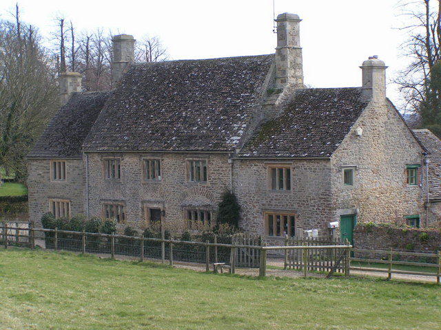
![Highworth buildings [58] Highworth Recreation Centre has a gym, a pool, a rackets sports hall, a trampolining hall, a party room, resident clubs and many other facilities.](https://s0.geograph.org.uk/geophotos/06/16/53/6165352_f55be284.jpg)


The Rookery is located at Grid Ref: SU2090 (Lat: 51.612327, Lng: -1.707291)
Unitary Authority: Swindon
Police Authority: Wiltshire
What 3 Words
///realm.snows.charts. Near Highworth, Wiltshire
Nearby Locations
Related Wikis

Warneford Place
Warneford Place, also known as Sevenhampton Place, is a Grade II listed country house in Sevenhampton, south of Highworth, in Wiltshire, England. The main...
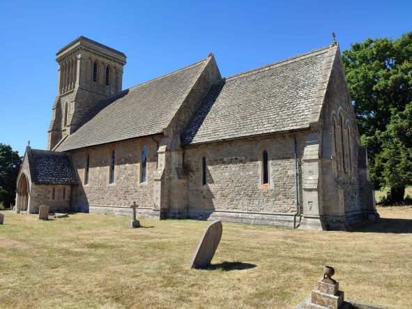
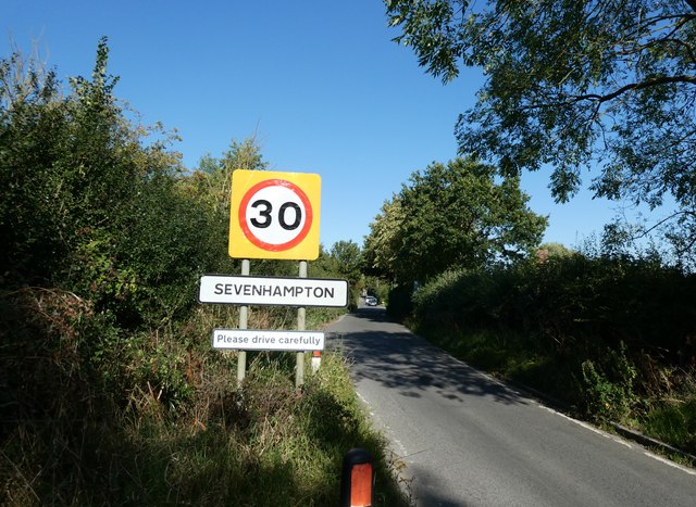
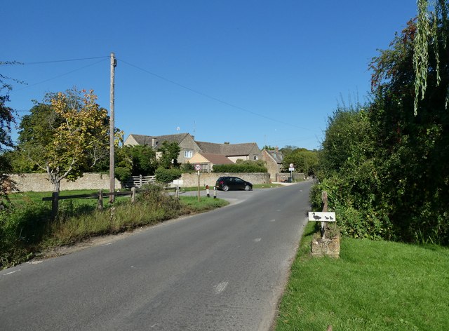
Sevenhampton, Wiltshire
Sevenhampton is a small village in Highworth parish in the borough of Swindon, in the ceremonial county of Wiltshire, England. It is about 1.4 miles (2...

Highworth Warneford School
Highworth Warneford School is a coeducational secondary school in the small town of Highworth, north of Swindon, Wiltshire, England. == History == Warneford...
Swindon Supermarine F.C.
Swindon Supermarine Football Club is a semi-professional football club based in South Marston, near Swindon, England. The club plays in the Southern League...
Highworth Town F.C.
Highworth Town Football Club is a football club based in Highworth, Wiltshire, England. They are currently members of the Hellenic League Premier Division...
New College Swindon F.C.
New College Swindon Football Club was a football club based in Swindon, Wiltshire, England. Part of New College, Swindon, they played until the summer...

Highworth
Highworth is a market town and civil parish in the Borough of Swindon, England, about 6 miles (10 km) north-east of Swindon town centre. The 2021 Census...

Highworth railway station
Highworth railway station served the town of Highworth, Wiltshire, England, from 1883 to 1962 on the Highworth branch line. The station was opened on 9...
Nearby Amenities
Located within 500m of 51.612327,-1.707291Have you been to The Rookery?
Leave your review of The Rookery below (or comments, questions and feedback).