Stockley Plantation
Wood, Forest in Staffordshire East Staffordshire
England
Stockley Plantation
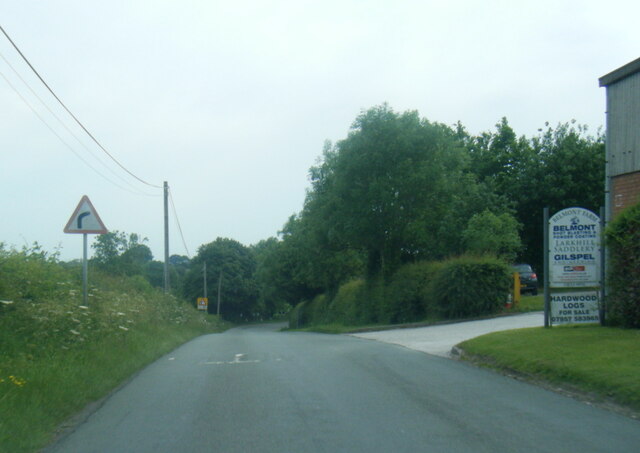
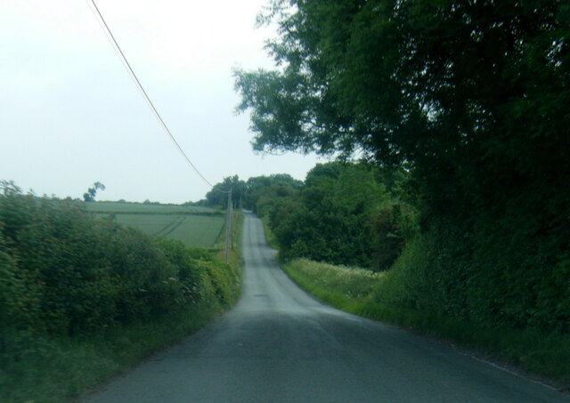
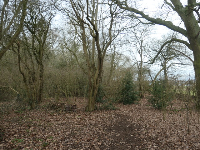
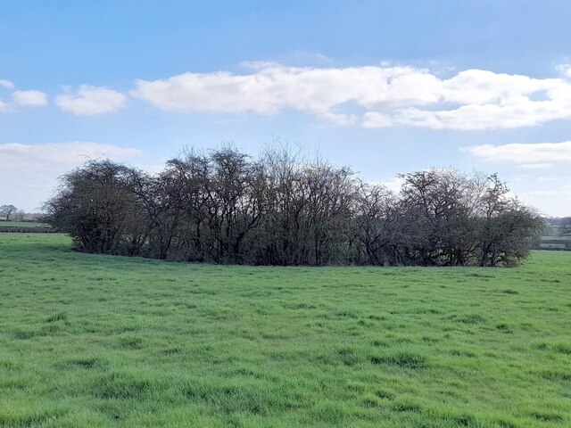
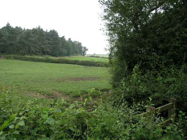
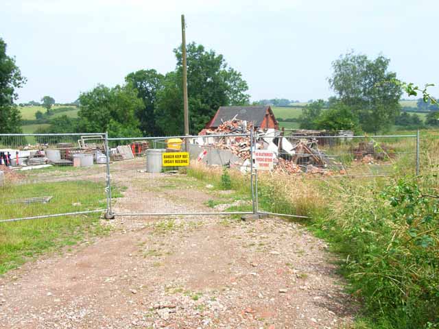
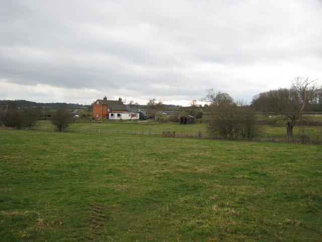
Stockley Plantation is a historic woodland located in Staffordshire, England. Situated in the heart of the county, the plantation covers an area of approximately 500 acres and is renowned for its diverse range of trees and wildlife.
The woodland is predominantly made up of deciduous trees, including oak, ash, birch, and beech, offering a stunning display of colors throughout the year. The plantation is carefully managed to maintain its natural beauty and ecological balance, serving as an important habitat for various bird species, mammals, and insects.
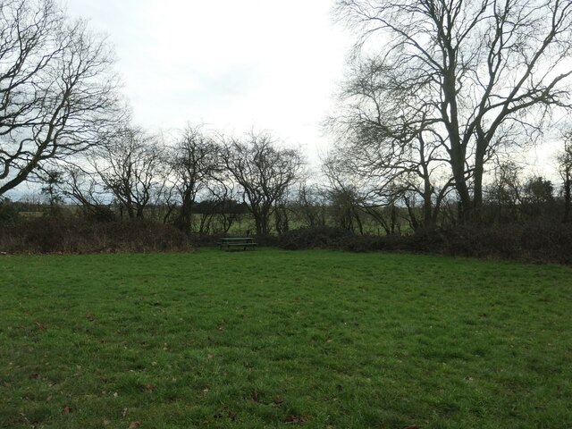
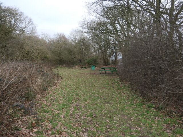
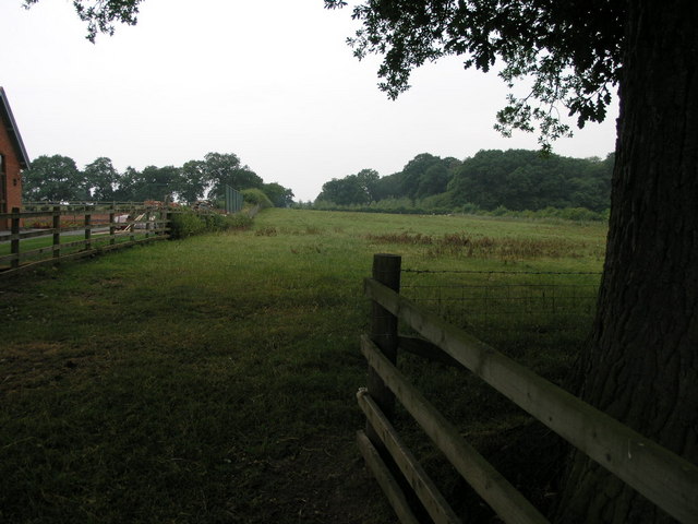
Visitors to Stockley Plantation can enjoy a network of well-maintained walking trails that meander through the woodland, allowing for leisurely strolls or more adventurous hikes. The peaceful surroundings and tranquil atmosphere make it an ideal destination for nature lovers, photographers, and those seeking a break from the hustle and bustle of city life.
Within the plantation, there is a designated picnic area where visitors can relax and enjoy a meal amidst the picturesque surroundings. The plantation also offers educational programs and guided tours, providing valuable insights into the importance of woodland conservation and biodiversity.
Stockley Plantation is easily accessible by road, with ample parking available for visitors. It is open to the public throughout the year, attracting both locals and tourists alike. Whether it's a leisurely stroll, a family day out, or an educational experience, Stockley Plantation offers a delightful escape into nature's embrace.
If you have any feedback on the listing, please let us know in the comments section below.
Stockley Plantation Images
Images are sourced within 2km of 52.829965/-1.6995823 or Grid Reference SK2025. Thanks to Geograph Open Source API. All images are credited.


Stockley Plantation is located at Grid Ref: SK2025 (Lat: 52.829965, Lng: -1.6995823)
Administrative County: Staffordshire
District: East Staffordshire
Police Authority: Staffordshire
What 3 Words
///footpath.sanded.brother. Near Burton upon Trent, Staffordshire
Nearby Locations
Related Wikis

Anslow
Anslow is a village and civil parish in the East Staffordshire district of Staffordshire, England, about three miles [4.8 km] north-west of Burton upon...

Anslow Gate
Anslow Gate is a village in Staffordshire, England, situated to the west of Anslow on the road to Hanbury. According to the 2001 census, the parish of...
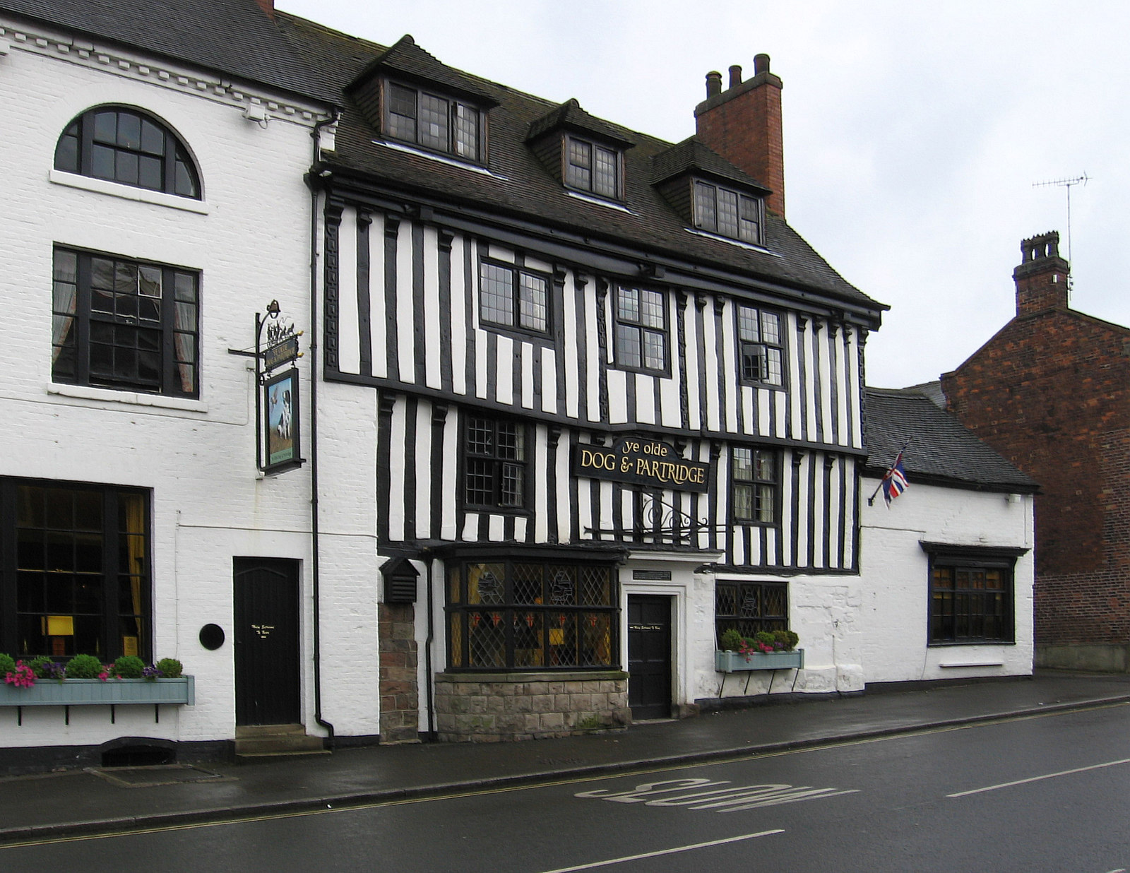
Tutbury
Tutbury is a village and civil parish in Staffordshire, England. It is 4 miles (6.4 km) north of Burton upon Trent and 20 miles (32 km) south of the Peak...
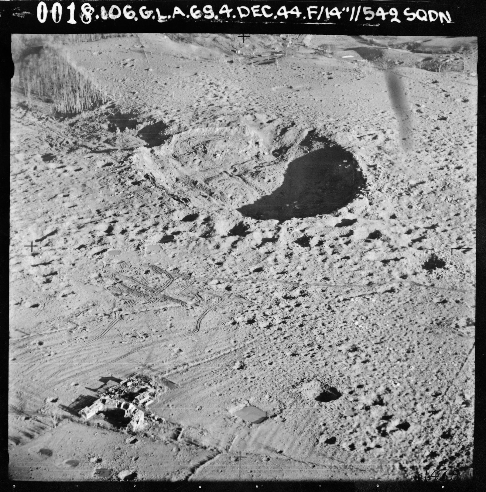
RAF Fauld explosion
The RAF Fauld explosion was a military accident which occurred at 11:11 am on Monday, 27 November 1944 at the RAF Fauld underground munitions storage depot...
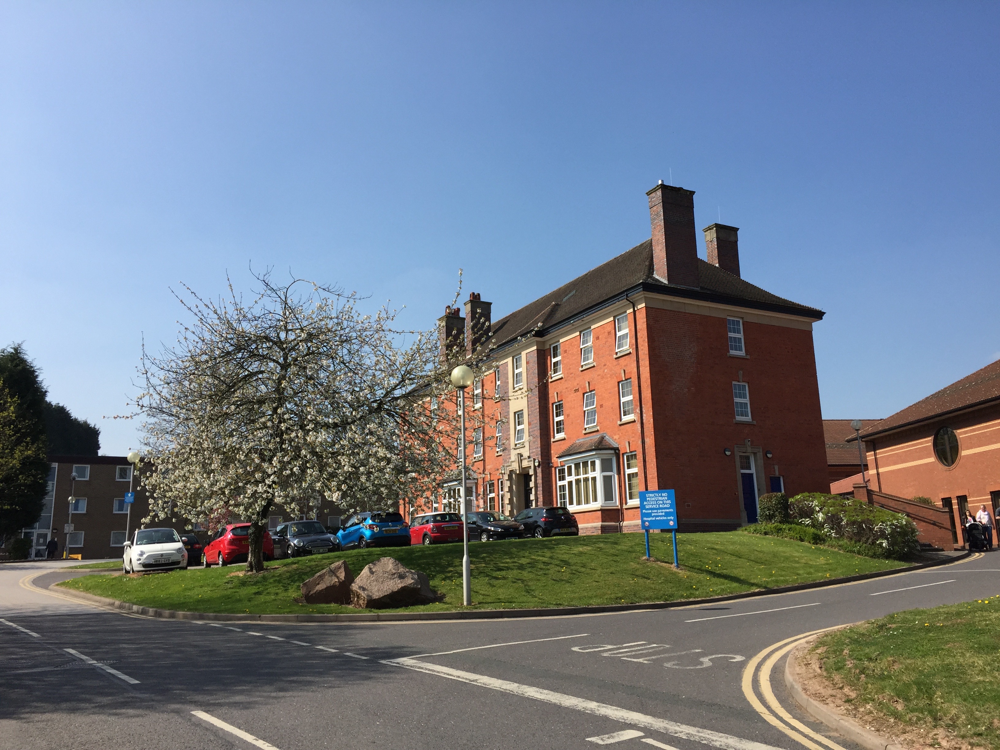
Queen's Hospital, Burton upon Trent
Queen's Hospital is a health facility on Belvedere Road in Burton upon Trent, Staffordshire. It is managed by University Hospitals of Derby and Burton...
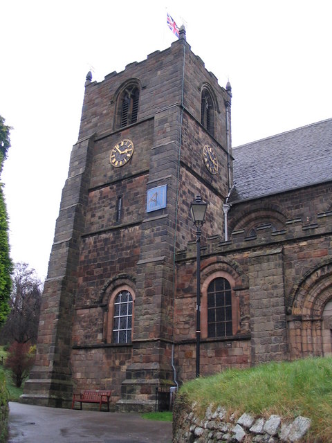
St Mary's Church, Tutbury
St Mary's Church, Tutbury, is a Grade I listed parish church in the Church of England in Tutbury, Staffordshire. == History == The West front of the church...

Tutbury Castle
Tutbury Castle is a largely ruined medieval castle at Tutbury, Staffordshire, England, in the ownership of the Duchy of Lancaster and hence currently of...
Sinai Park House
Sinai Park House is a grade II* listed building in Burton upon Trent, Staffordshire, England. Consisting of a central range with two wings the building...
Have you been to Stockley Plantation?
Leave your review of Stockley Plantation below (or comments, questions and feedback).