Alder Carr
Wood, Forest in Derbyshire Derbyshire Dales
England
Alder Carr
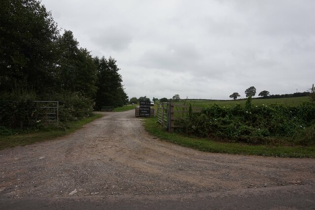
Alder Carr is a small woodland area located in Derbyshire, England. Situated in the heart of the county, it is known for its dense population of alder trees, hence the name "Alder Carr." The forest covers an area of approximately 50 acres, providing a tranquil and picturesque setting for both locals and visitors.
The woodland is home to a diverse range of flora and fauna, creating an ecosystem that supports a variety of wildlife. The alder trees, with their distinctive silver bark and heart-shaped leaves, dominate the landscape, providing shade and shelter for smaller plants and animals. The forest floor is carpeted with a rich carpet of ferns, mosses, and wildflowers, adding to the area's natural beauty.
Alder Carr is a popular destination for nature enthusiasts and hikers, offering numerous walking trails that meander through the woodland. These trails vary in difficulty, catering to both casual strollers and more experienced hikers. Along the way, visitors may spot a range of wildlife, including squirrels, rabbits, and a variety of bird species.
The woodland is managed and maintained by the local authorities, ensuring its preservation and sustainability. Access to Alder Carr is free of charge, with ample parking available nearby. The area is well-signposted, allowing visitors to navigate the woodland easily and safely.
Overall, Alder Carr is a haven for nature lovers, offering a peaceful retreat from the hustle and bustle of everyday life. Its picturesque setting, diverse wildlife, and well-maintained trails make it a must-visit location for anyone seeking a connection with nature in Derbyshire.
If you have any feedback on the listing, please let us know in the comments section below.
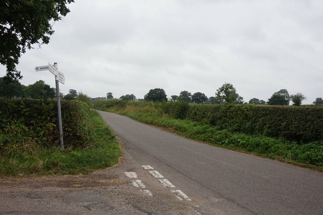
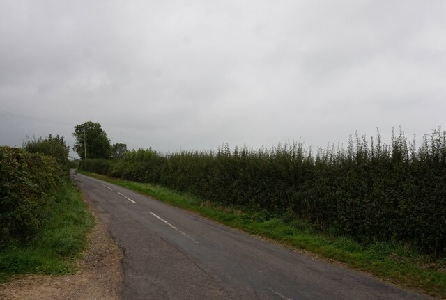
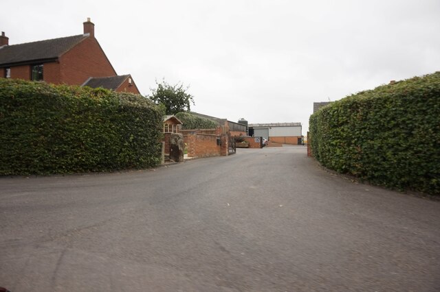
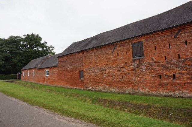
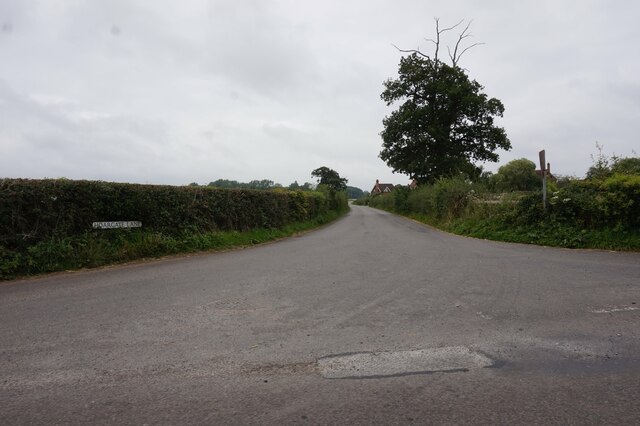
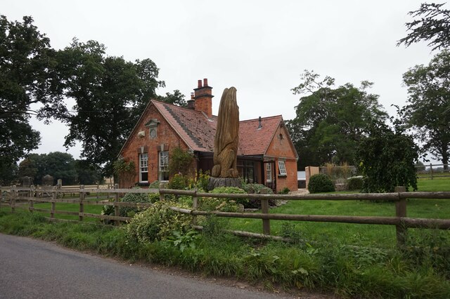
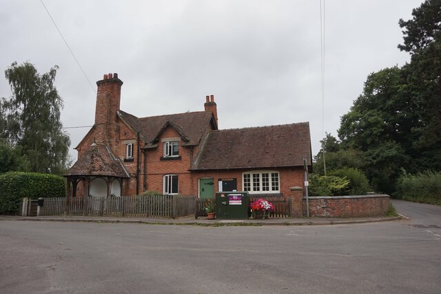
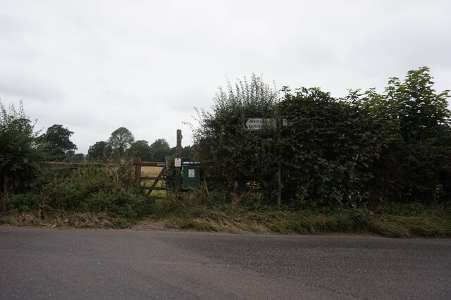
Alder Carr Images
Images are sourced within 2km of 52.935409/-1.6988979 or Grid Reference SK2037. Thanks to Geograph Open Source API. All images are credited.
Alder Carr is located at Grid Ref: SK2037 (Lat: 52.935409, Lng: -1.6988979)
Administrative County: Derbyshire
District: Derbyshire Dales
Police Authority: Derbyshire
What 3 Words
///unfocused.pitching.caressed. Near Mayfield, Staffordshire
Nearby Locations
Related Wikis

Alkmonton medieval settlement
Alkmonton medieval settlement is an archaeological site, a deserted medieval village near the present-day village of Alkmonton, about 5 miles (8 km) south...
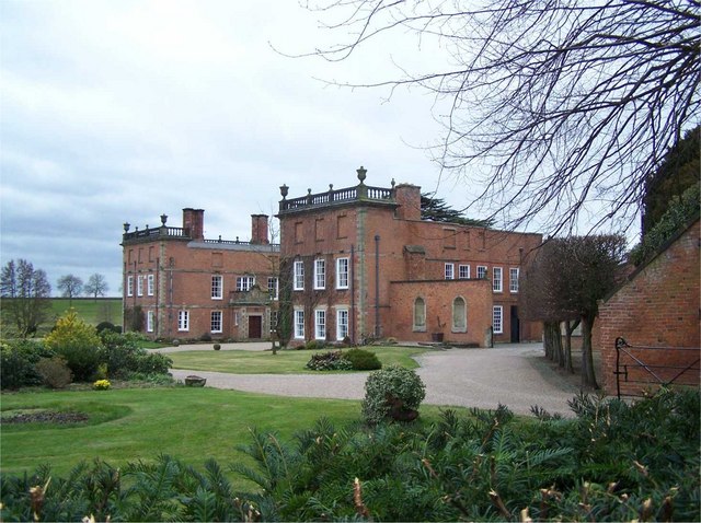
Longford Hall, Derbyshire
Longford Hall is a 16th-century country house at Longford in the Dales district of Derbyshire, England. It is a Grade II* listed building.The hall was...

Longford, Derbyshire
Longford is a village and civil parish in Derbyshire Dales district, Derbyshire, England. The population of the civil parish as of the 2011 census was...
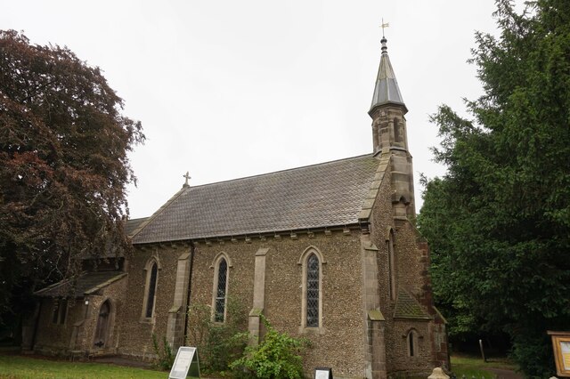
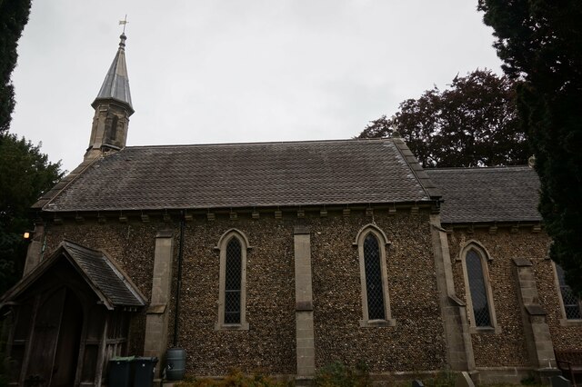
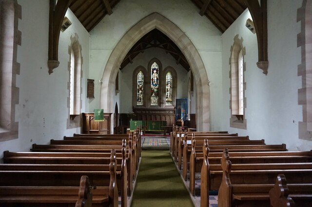
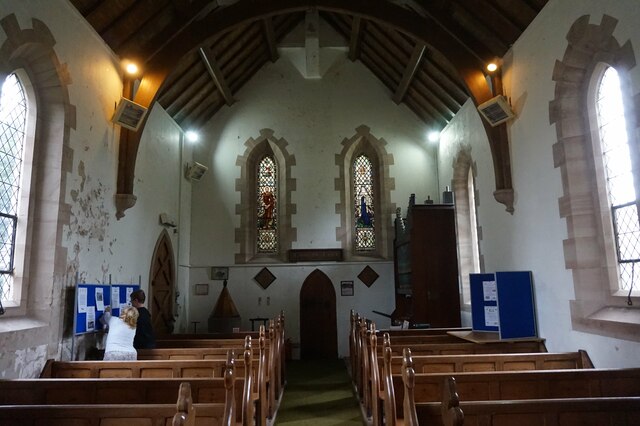
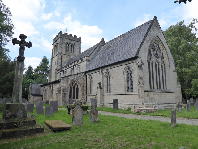
St Chad's Church, Longford
St Chad's Church, Longford is a Grade I listed parish church in the Church of England in Longford, Derbyshire. == History == The church dates from the...
Alkmonton
Alkmonton is a village and civil parish in the Derbyshire Dales district of Derbyshire, England, roughly between Uttoxeter and Derby. The parish had a...

Hungry Bentley
Hungry Bentley is a deserted medieval village and civil parish in the Derbyshire Dales district of Derbyshire, England, between Uttoxeter and Derby. The...
Boylestone
Boylestone is a village and civil parish in the Derbyshire Dales district of Derbyshire, England. At the 2011 census, it had a population of 318. The village...

Rodsley
Rodsley is a small village and civil parish about 4 miles (6 km) south of Ashbourne in Derbyshire. As the population of the village was less than 100 at...
Nearby Amenities
Located within 500m of 52.935409,-1.6988979Have you been to Alder Carr?
Leave your review of Alder Carr below (or comments, questions and feedback).