Dingle Wood
Wood, Forest in Gloucestershire Cotswold
England
Dingle Wood
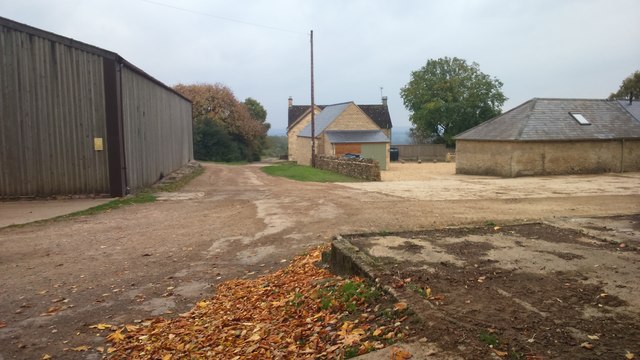
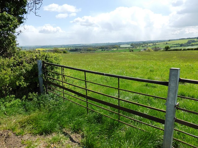
Dingle Wood is a charming woodland located in the county of Gloucestershire, England. Situated in the heart of the Forest of Dean, it covers an area of approximately 200 acres and is renowned for its natural beauty and diverse ecosystem.
The wood is dominated by a mix of deciduous and coniferous trees, including oak, beech, and pine. These towering trees provide a lush canopy that filters sunlight, creating a cool and tranquil atmosphere within the woodland. Dingle Wood is particularly famous for its vibrant display of bluebells during the springtime, when the forest floor is carpeted in a sea of delicate purple flowers.
The wood is crisscrossed by a network of well-maintained footpaths, allowing visitors to explore and enjoy the peaceful surroundings. The paths wind through the dense vegetation, revealing picturesque clearings and secluded spots perfect for picnics or quiet contemplation. The wood is also home to a variety of wildlife, including deer, squirrels, and a wide array of bird species, making it a popular destination for nature enthusiasts and birdwatchers.
Dingle Wood is easily accessible, with ample parking available nearby. It attracts visitors throughout the year, who come to immerse themselves in the tranquility of nature and enjoy the breathtaking scenery. Whether it's a leisurely walk, a family outing, or a chance to reconnect with nature, Dingle Wood offers a rewarding experience for all who venture into its enchanting depths.
If you have any feedback on the listing, please let us know in the comments section below.
Dingle Wood Images
Images are sourced within 2km of 51.912699/-1.7066523 or Grid Reference SP2023. Thanks to Geograph Open Source API. All images are credited.


Dingle Wood is located at Grid Ref: SP2023 (Lat: 51.912699, Lng: -1.7066523)
Administrative County: Gloucestershire
District: Cotswold
Police Authority: Gloucestershire
What 3 Words
///baroness.oasis.enclosing. Near Stow on the Wold, Gloucestershire
Nearby Locations
Related Wikis

Stow-on-the-Wold railway station
Stow-on-the-Wold railway station was a station on the Great Western Railway's Banbury and Cheltenham Direct Railway that opened in 1881. Situated about...
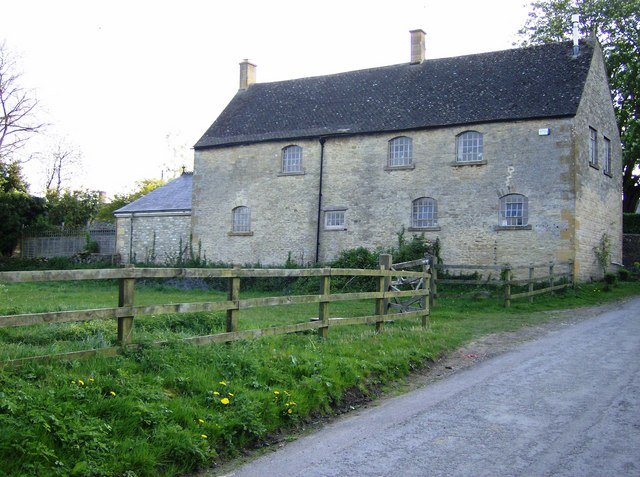
Maugersbury
Maugersbury is a village and civil parish in Gloucestershire, England. Situated less than a mile south-east of the market town of Stow-on-the-Wold and...
Maugersbury Manor
Maugersbury Manor is a manor house in the village of Maugersbury in Gloucestershire. It has been listed Grade II on the National Heritage List for England...

Icomb
Icomb is a village in the Gloucestershire Cotswolds, near to Stow on the Wold. The population taken at the 2011 census was 202.The village appears as Iacumbe...

Icomb Place
Icomb Place (pronounced "Ickum") is a medieval manor house on the edge of the village of Icomb, near Stow on the Wold in Gloucestershire. The word "place...

Church of St Mary, Icomb
The Anglican Church of St Mary at Icomb in the Cotswold District of Gloucestershire, England was built in the 15th century. It is a grade I listed building...
Quarwood
Quarwood or Quar Wood is a Victorian manor near Stow-on-the-Wold, Gloucestershire, England. It was formerly owned by The Who's bassist John Entwistle....
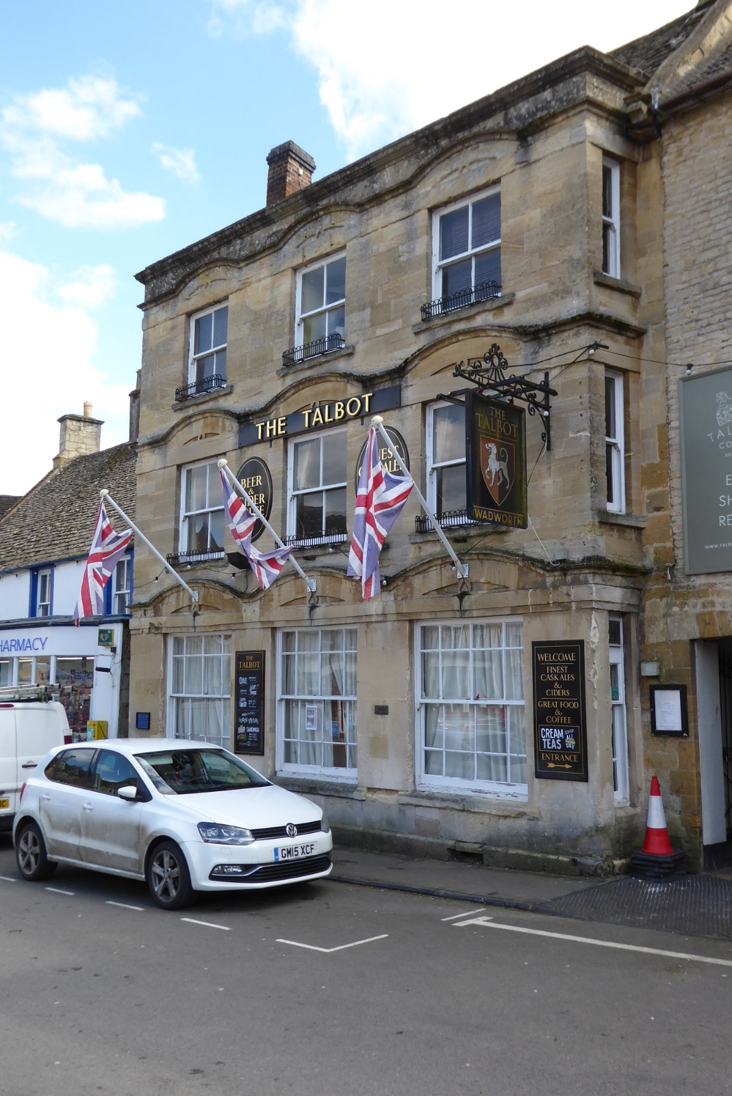
The Talbot, Stow-on-the-Wold
The Talbot, formerly known as The Talbot Hotel, is a public house in the Market Square in Stow-on-the-Wold, Gloucestershire, England. The structure, which...
Nearby Amenities
Located within 500m of 51.912699,-1.7066523Have you been to Dingle Wood?
Leave your review of Dingle Wood below (or comments, questions and feedback).