West Common Plantation
Wood, Forest in Wiltshire
England
West Common Plantation
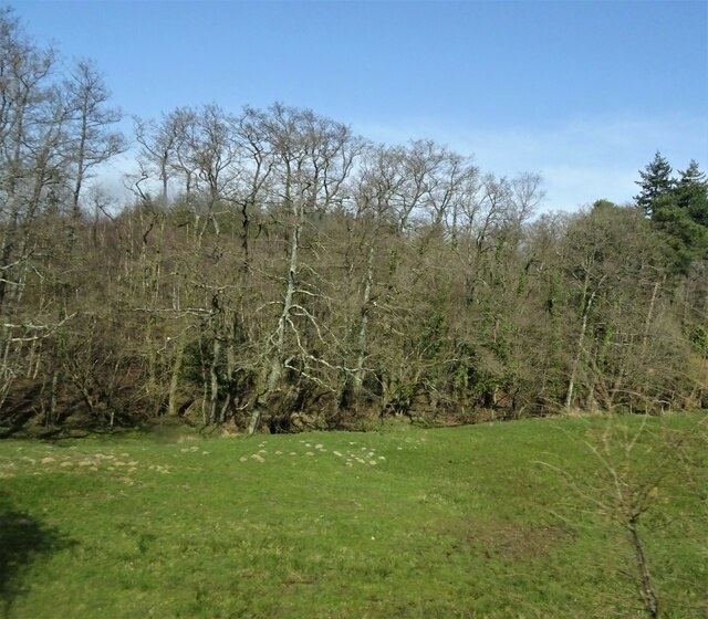
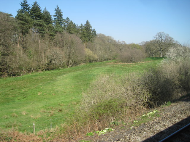
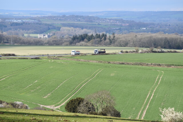
West Common Plantation is a prominent woodland area located in Wiltshire, England. Covering an expansive area of approximately 400 hectares, it is recognized for its diverse range of trees and natural beauty. The plantation is situated near the village of Lockeridge, north of Marlborough.
The woodland primarily consists of mixed broadleaf trees, including oak, ash, beech, and birch. These species create a stunning canopy that provides shade and shelter for a variety of wildlife. West Common Plantation is home to an array of bird species, such as woodpeckers, nuthatches, and tawny owls, making it a popular destination for birdwatching enthusiasts.
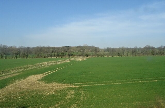
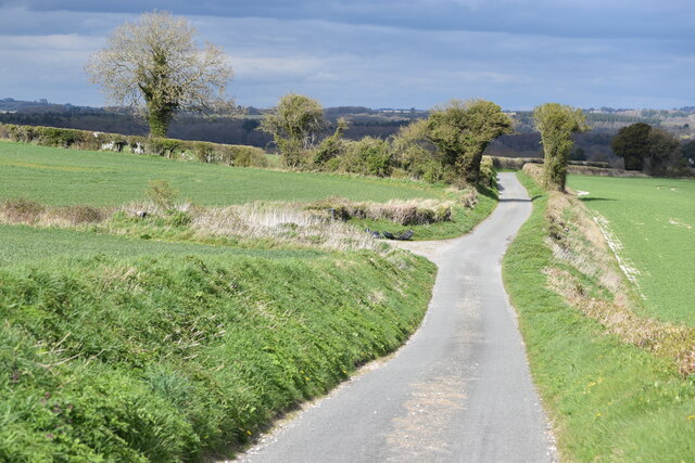
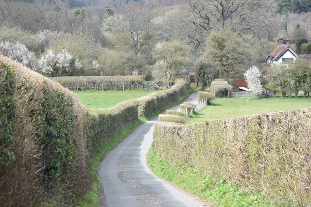
Traversing through the plantation, visitors can find an extensive network of well-maintained footpaths and trails. These pathways offer an opportunity for leisurely walks, hikes, and nature exploration. The woodland is also intersected by streams and small brooks, adding to its picturesque charm.
Historically, West Common Plantation was part of a larger estate owned by the local Marlborough College. The woodland was utilized for timber and firewood production, and remnants of old forestry operations can still be seen. Today, the land is managed by the Forestry Commission, ensuring the preservation of its natural habitats and the promotion of sustainable forestry practices.
West Common Plantation is a haven for nature lovers, providing a tranquil and peaceful environment for recreation, education, and appreciation of the natural world. Its rich biodiversity, combined with its accessibility and stunning scenery, make it a cherished destination for both locals and visitors alike.
If you have any feedback on the listing, please let us know in the comments section below.
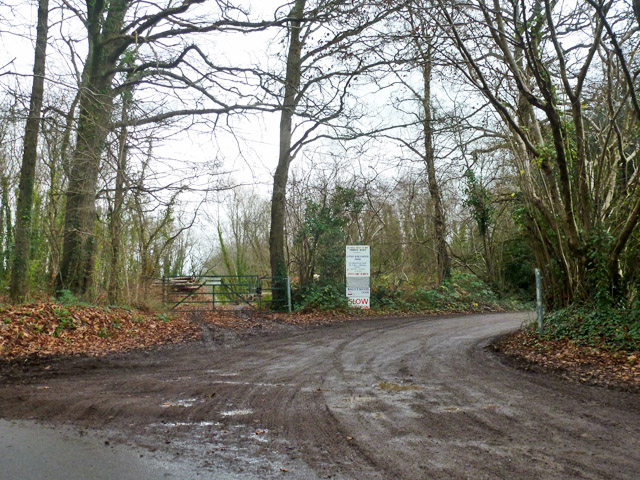
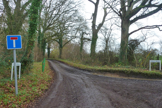
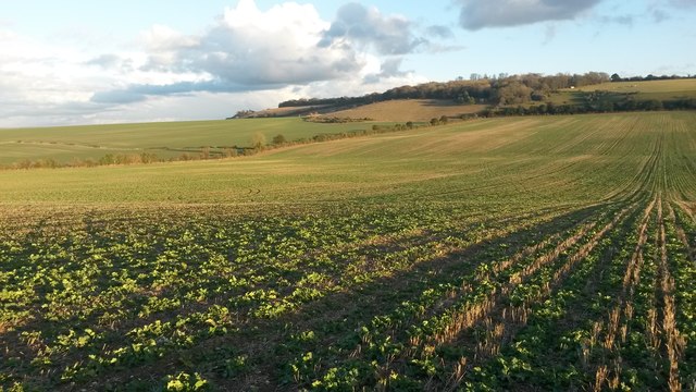
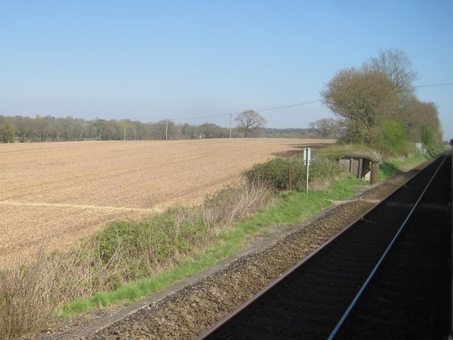
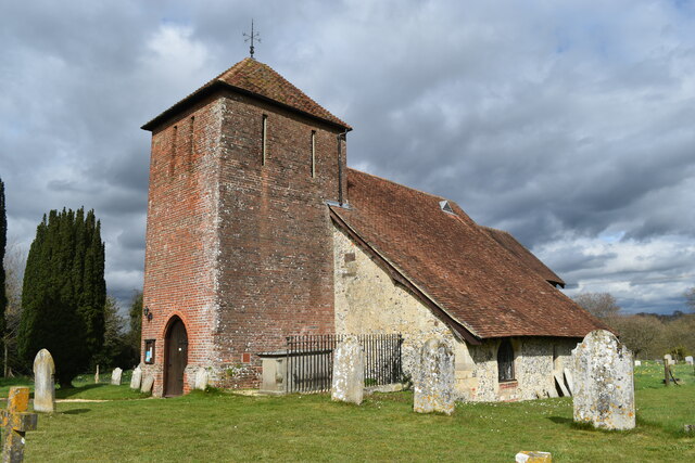
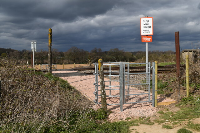
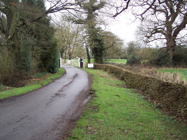
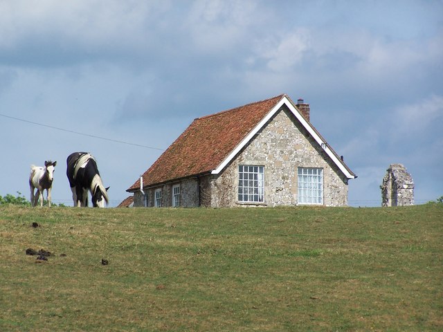
West Common Plantation Images
Images are sourced within 2km of 51.043568/-1.7134682 or Grid Reference SU2027. Thanks to Geograph Open Source API. All images are credited.
West Common Plantation is located at Grid Ref: SU2027 (Lat: 51.043568, Lng: -1.7134682)
Unitary Authority: Wiltshire
Police Authority: Wiltshire
What 3 Words
///escapades.lace.under. Near Alderbury, Wiltshire
Nearby Locations
Related Wikis

West Grimstead
West Grimstead is a village in the civil parish of Grimstead, on the River Dun in Wiltshire, England, about 4.5 miles (7.2 km) southeast of Salisbury....

Alderbury
Alderbury is a village and civil parish in Wiltshire, England, in the south of the county around 3 miles (5 km) southeast of Salisbury.The parish includes...
Clarendon Park, Wiltshire
Clarendon Park is a Grade I listed building, estate and civil parish near Salisbury in Wiltshire, England. At the 2011 census the population of the parish...

Grimstead
Grimstead is a civil parish on the River Dun in Wiltshire, England, to the south-east of Salisbury. Its settlements are the villages of East Grimstead...
Ivychurch Priory
Ivychurch Priory was a medieval monastic house in Alderbury, southeast of Salisbury, Wiltshire, England. According to Historic England, "all that remains...
East Grimstead
East Grimstead is a village in the civil parish of Grimstead, on the River Dun in Wiltshire, England, about 5 miles (8.0 km) east of Salisbury. The village...

The Pepperbox
The Pepperbox, also known as Eyre's Folly, is a folly tower that stands near the highest point on Pepperbox Hill, the peak of a chalk ridge about 5 miles...

Witherington
Witherington is a small settlement in Wiltshire, England, in the extreme south-east of the county, a tithing of the civil parish of Downton. Although surveyed...
Nearby Amenities
Located within 500m of 51.043568,-1.7134682Have you been to West Common Plantation?
Leave your review of West Common Plantation below (or comments, questions and feedback).