Half Moon Plantation
Wood, Forest in Wiltshire
England
Half Moon Plantation
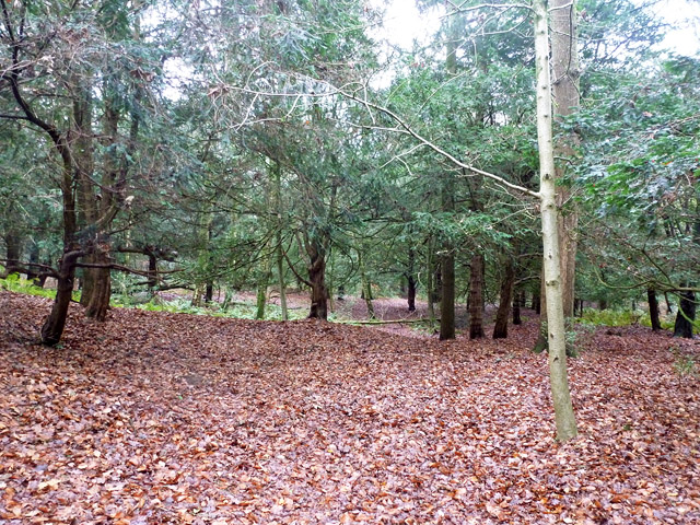
Half Moon Plantation is a picturesque woodland estate located in Wiltshire, known for its tranquil and idyllic surroundings. Spanning over a vast area, the plantation is a haven for nature enthusiasts and those seeking solace in the midst of nature.
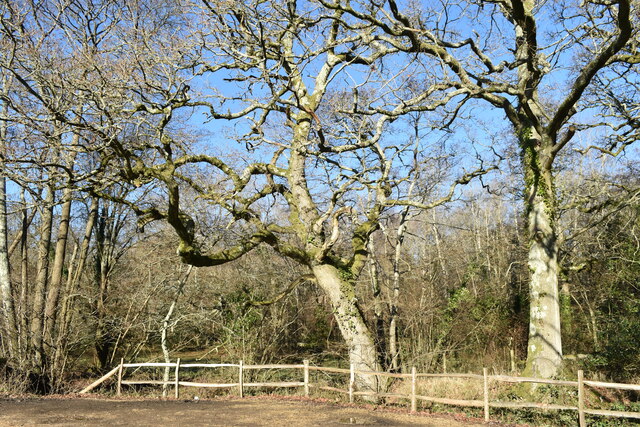
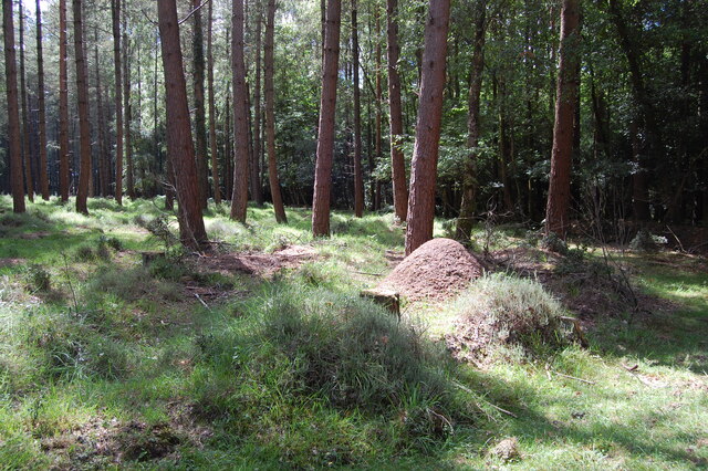
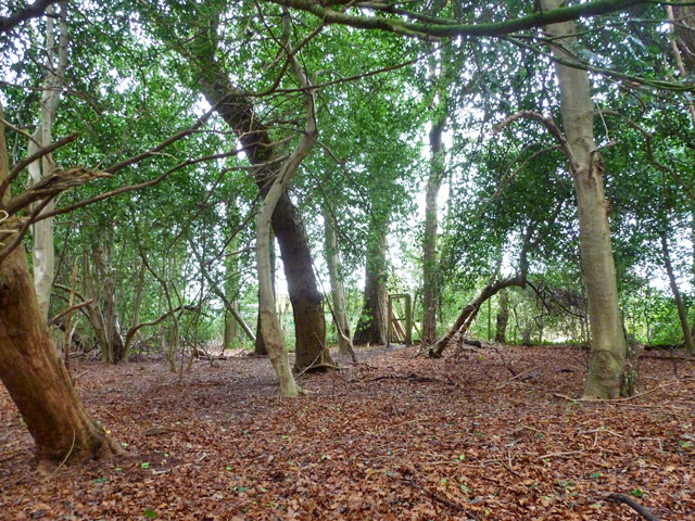
The plantation boasts a diverse range of trees, predominantly oak and beech, creating a dense forest canopy that provides shade and shelter for numerous wildlife species. The forest floor is adorned with a rich carpet of ferns, wildflowers, and moss, enhancing the enchanting atmosphere of the woodland.
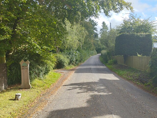
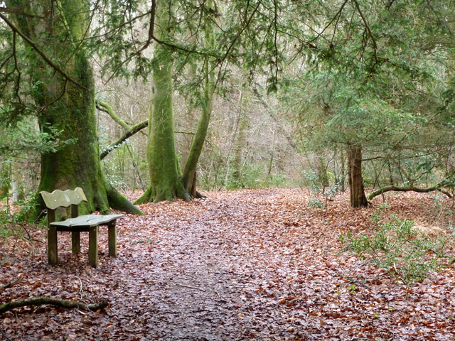
Walking trails crisscross the plantation, offering visitors the opportunity to explore its natural beauty. These trails wind through the ancient woodlands, leading to secluded clearings and hidden ponds where one can spot various bird species, including woodpeckers, owls, and thrushes. The plantation is also home to a wide variety of mammals, such as deer, foxes, and badgers.
Half Moon Plantation is renowned for its commitment to conservation and sustainability. The estate actively engages in forest management practices that promote biodiversity and preserve the natural habitat. This includes controlled logging to maintain a healthy tree population and the creation of nesting boxes and feeding stations for birds.
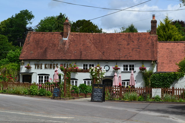
The plantation also offers educational programs and guided tours, allowing visitors to learn about the local flora and fauna and the importance of sustainable forestry. Additionally, there are picnic areas and benches strategically placed throughout the plantation, providing visitors with the opportunity to relax and appreciate the serenity of the surroundings.
In summary, Half Moon Plantation in Wiltshire is a captivating woodland estate, offering a sanctuary for nature lovers and a chance to immerse oneself in the beauty of a diverse and well-preserved forest ecosystem.
If you have any feedback on the listing, please let us know in the comments section below.
Half Moon Plantation Images
Images are sourced within 2km of 50.974149/-1.7139237 or Grid Reference SU2019. Thanks to Geograph Open Source API. All images are credited.


Half Moon Plantation is located at Grid Ref: SU2019 (Lat: 50.974149, Lng: -1.7139237)
Unitary Authority: Wiltshire
Police Authority: Wiltshire
What 3 Words
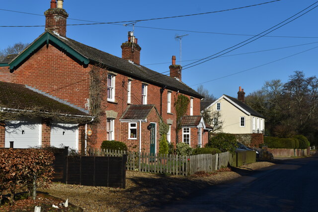
///resources.success.grant. Near Downton, Wiltshire
Nearby Locations
Related Wikis

Bohemia, Wiltshire
Bohemia is a hamlet in Wiltshire, England, in the parish of Redlynch. It lies about 1 mile (1.6 km) southeast of Redlynch and 7.5 miles (12 km) southeast...

Lover, Wiltshire
Lover (pronounced like Dover, ) is a small village in Wiltshire, England, close to the county border with Hampshire. It is part of the parish of Redlynch...

Hale, Hampshire
Hale is a small village and civil parish in Hampshire, England. It lies on the border of the New Forest, overlooking the valley of the River Avon. The...

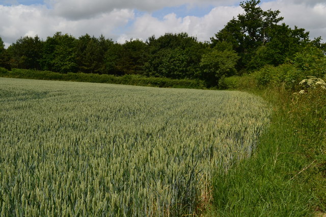
Loosehanger Copse and Meadows
Loosehanger Copse and Meadows (grid reference SU215195) is a 56.27 hectare biological Site of Special Scientific Interest in Wiltshire, England, notified...
Redlynch, Wiltshire
Redlynch is a village and civil parish about 6.5 miles (10.5 km) southeast of Salisbury in Wiltshire, England. The parish includes the villages of Morgan...

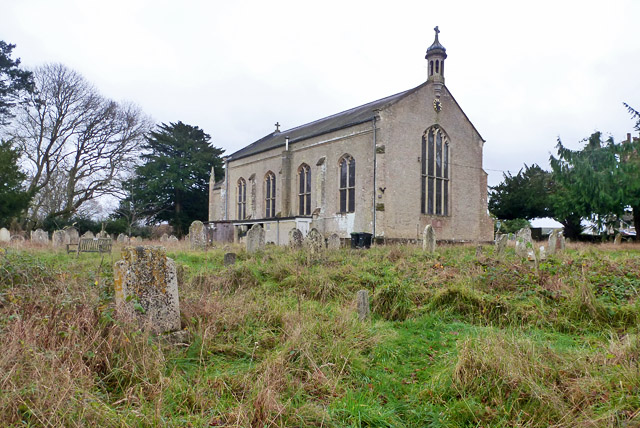
Church of St Birinus, Morgan's Vale
The Church of St Birinus is a Church of England church in Morgan's Vale, Wiltshire, England. It was designed by Charles Ponting and constructed in 1894...

Downton railway station
Downton was a railway station serving Downton, a village in Wiltshire. The village contained a large tanning mill on the River Avon, which has now closed...

Downton, Wiltshire
Downton is a village and civil parish on the River Avon in southern Wiltshire, England, about 6 miles (10 km) southeast of the city of Salisbury. The parish...
Nearby Amenities
Located within 500m of 50.974149,-1.7139237Have you been to Half Moon Plantation?
Leave your review of Half Moon Plantation below (or comments, questions and feedback).