Armathwaite
Settlement in Cumberland Eden
England
Armathwaite
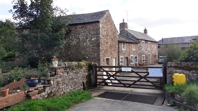
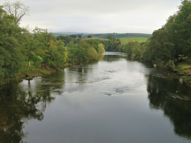
Armathwaite is a small village located in the county of Cumberland, in the northwestern region of England. Situated in the Eden district, it lies on the banks of the picturesque River Eden, amidst the stunning landscapes of the Lake District National Park.
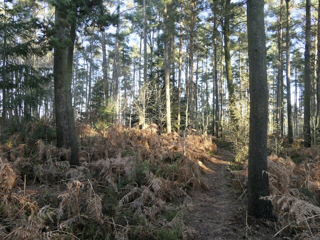
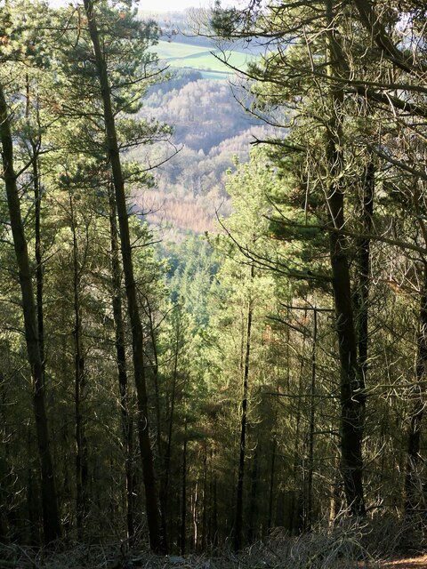
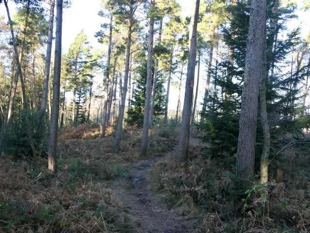
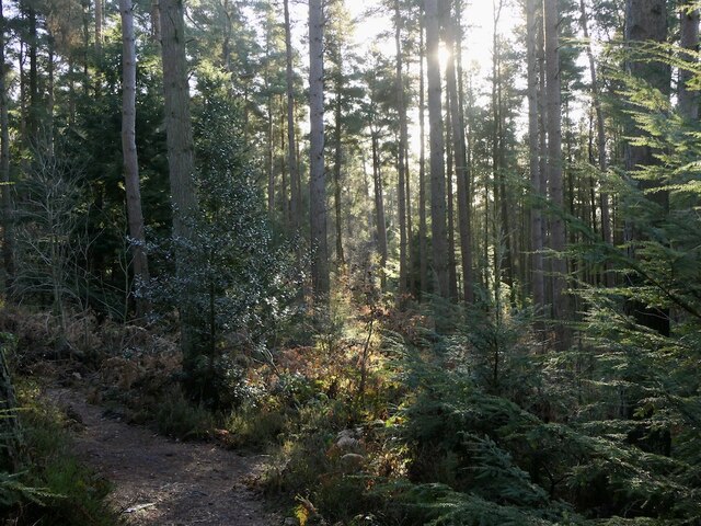
The village is renowned for its natural beauty and is a popular destination for tourists and nature enthusiasts. Surrounded by rolling hills, lush green fields, and dense woodlands, Armathwaite offers a tranquil and idyllic setting for those seeking a peaceful retreat. The river itself is a major attraction, attracting anglers who come to fish for salmon and trout.
Armathwaite boasts a rich history, with evidence of human settlement in the area dating back to prehistoric times. The village is home to several historic buildings, including Armathwaite Castle, a 15th-century fortified manor house that has been converted into a luxurious hotel. Other notable landmarks include St. Mary's Church, a charming 19th-century place of worship, and the Armathwaite Hall, a grand country house that now serves as a hotel and spa.
Despite its small size, Armathwaite offers a range of amenities for residents and visitors alike. The village has a primary school, a post office, a village shop, and a pub, providing essential services to the local community.
Overall, Armathwaite is a delightful village that combines natural beauty, rich history, and a warm community atmosphere. Its location within the Lake District National Park makes it an ideal base for exploring the stunning landscapes and outdoor activities that the region has to offer.
If you have any feedback on the listing, please let us know in the comments section below.
Armathwaite Images
Images are sourced within 2km of 54.808708/-2.767013 or Grid Reference NY5046. Thanks to Geograph Open Source API. All images are credited.

Armathwaite is located at Grid Ref: NY5046 (Lat: 54.808708, Lng: -2.767013)
Administrative County: Cumbria
District: Eden
Police Authority: Cumbria
What 3 Words
///civic.sharpened.nest. Near Wetheral, Cumbria
Nearby Locations
Related Wikis

Armathwaite
Armathwaite is a village in the English ceremonial county of Cumbria. Historically within the county of Cumberland, Armathwaite lies on the River Eden...

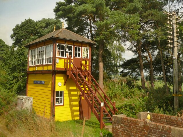
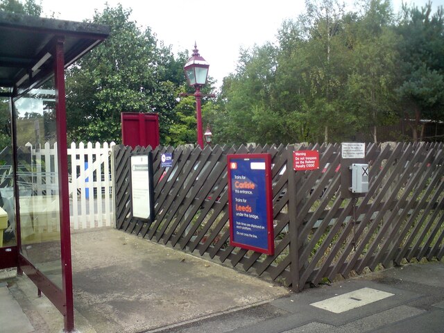
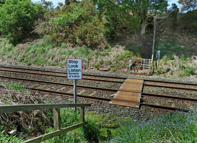
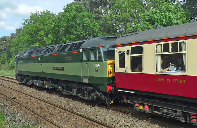
Armathwaite railway station
Armathwaite is a railway station on the Settle and Carlisle Line, which runs between Carlisle and Leeds via Settle. The station, situated 9 miles 75 chains...

Armathwaite Castle
Armathwaite Castle is in the village of Armathwaite, Cumbria, England, by the River Eden. Originally built to defend against Scottish raiders in the 15th...

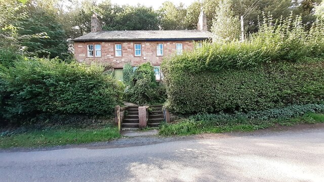
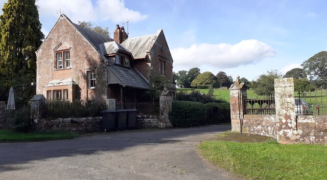
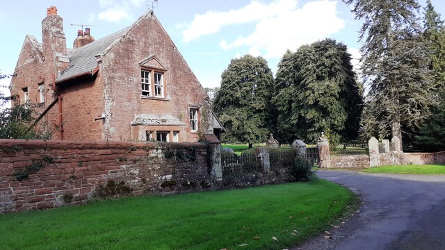
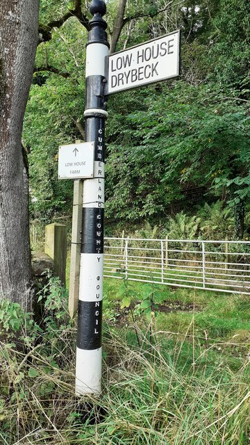
Low House, Wetheral
Low House is an 18th-century Georgian manor house located one and a half miles north of the village of Armathwaite in the Eden Valley of Cumbria, England...
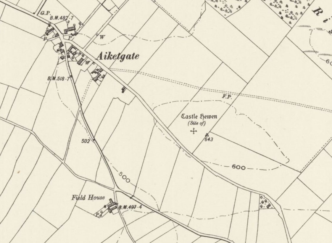
Castle Hewen
Castle Hewen (also recorded as Castlewen; Castle Luen; Castellewyn; Castellewyne; Castlehewings; Castle-Ewaine and Castle Lewen) was a Romano-British castle...
Ainstable
Ainstable is a village and civil parish in the English county of Cumbria. The parish stretches from the banks of the River Eden to the summits of the North...
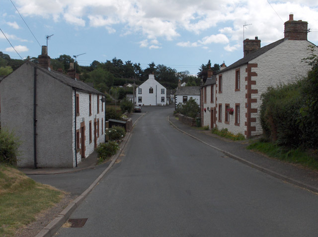
Aiketgate
Aiketgate is a small village in the English county of Cumbria. It is within the civil parish of Hesket. Development of wind turbines in the Eden Valley...

Tarn Wadling
Tarn Wadling (formerly spelled Turnewathelane, Terne Wathelyne, among others) was a lake between Carlisle and Penrith, near the village of High Hesket...
Nearby Amenities
Located within 500m of 54.808708,-2.767013Have you been to Armathwaite?
Leave your review of Armathwaite below (or comments, questions and feedback).