Ewartshill Plantation

Wood, Forest in Northumberland

England

Ewartshill Plantation

Doxford  Hall  built  in 1818  for  Henry  Taylor The house was enlarged and remodelled in 1910 and is now a hotel and spa, with large grounds and formal garden
Doxford Hall built in 1818 for Henry Taylor Credit: Martin Dawes

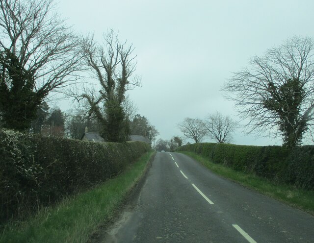
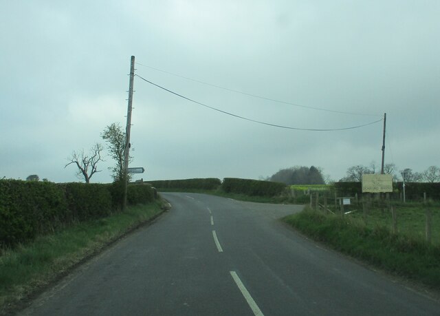
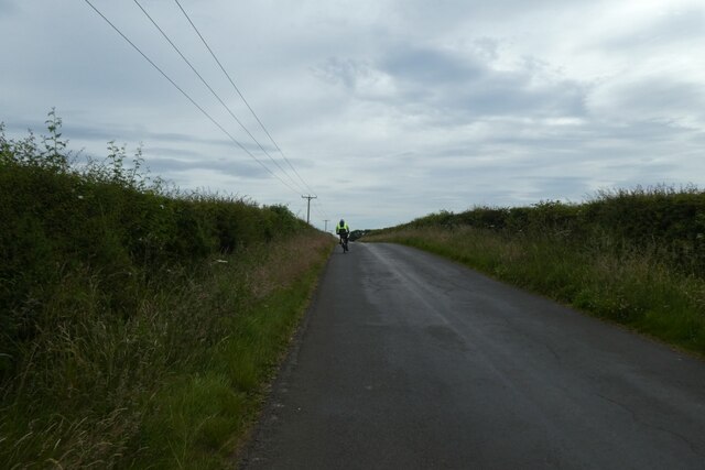
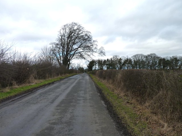
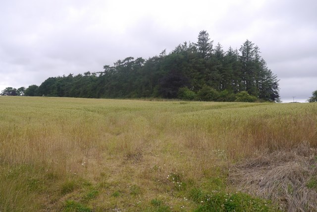
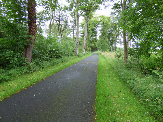
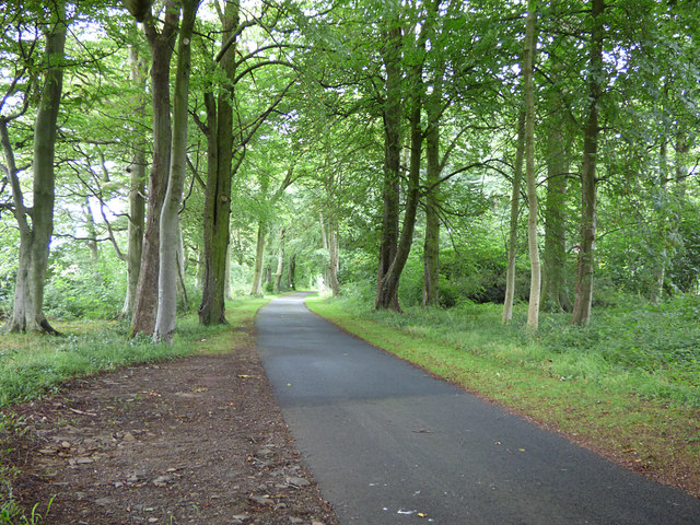
Ewartshill Plantation is a picturesque woodland located in the county of Northumberland, England. Situated near the village of Wood, this forested area covers a vast expanse of approximately 200 acres. It is a popular destination for nature enthusiasts, hikers, and those seeking solace in the tranquility of the outdoors.

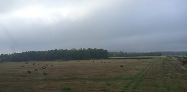
The plantation is characterized by its diverse range of flora and fauna. Towering trees dominate the landscape, including species such as oak, beech, and birch, providing a lush and green canopy. The forest floor is covered in a vibrant carpet of ferns, moss, and wildflowers, creating a haven for wildlife.

The plantation is home to a variety of animal species, including deer, foxes, badgers, and a wide array of birdlife. Birdwatchers can expect to spot species such as woodpeckers, owls, and various songbirds throughout the year. The forest's peaceful atmosphere also attracts a range of woodland creatures, making it an ideal spot for observing wildlife in their natural habitat.

Visitors to Ewartshill Plantation can enjoy several walking trails that meander through the woodland, allowing them to explore the beauty and serenity of the area. These trails offer breathtaking views, peaceful streams, and hidden glades, providing a truly immersive experience in nature.

Ewartshill Plantation is a cherished natural gem in Northumberland, offering a tranquil escape from the hustle and bustle of everyday life. Its stunning scenery, diverse wildlife, and well-maintained trails make it a haven for outdoor enthusiasts and a must-visit destination for those seeking solace in the beauty of nature.

If you have any feedback on the listing, please let us know in the comments section below.

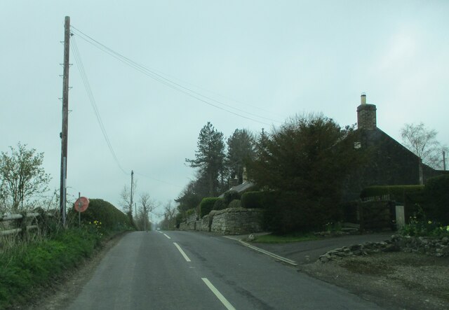
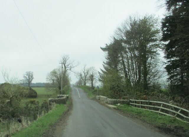
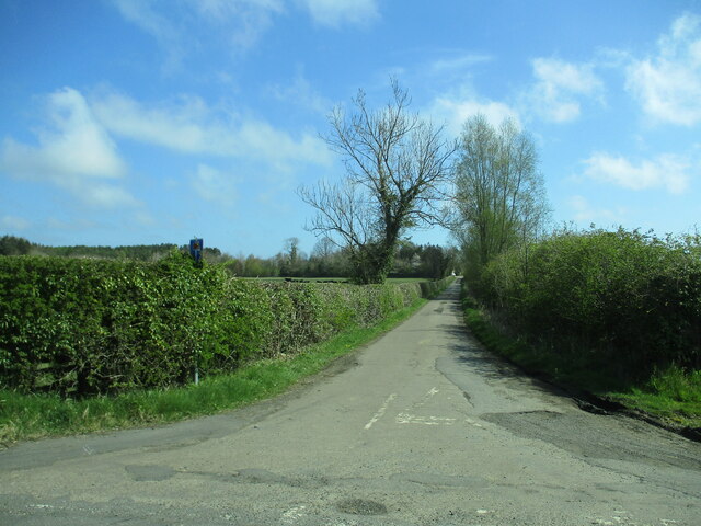
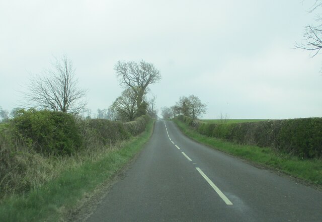
Ewartshill Plantation Images

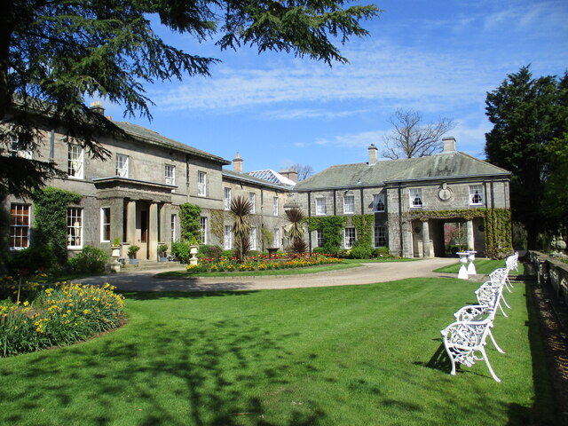
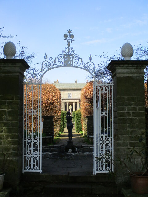
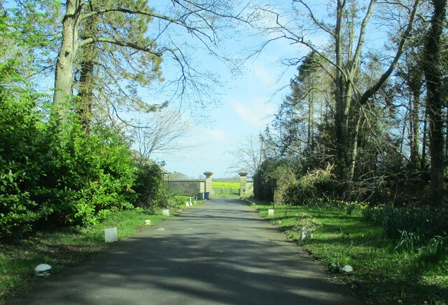
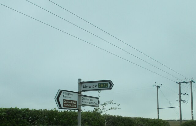
Images are sourced within 2km of 55.507994/-1.6872093 or Grid Reference NU1923. Thanks to Geograph Open Source API. All images are credited.

Doxford  Hall  built  in 1818  for  Henry  Taylor The house was enlarged and remodelled in 1910 and is now a hotel and spa, with large grounds and formal garden
Doxford Hall built in 1818 for Henry Taylor
The house was enlarged and remodelled in 1910 and is now a hotel and spa, with large grounds and formal garden
Doxford  Hall  built  in 1818  view  through  the  formal  garden This garden was created when the house was enlarged in 1910
Doxford Hall built in 1818 view through the formal garden
This garden was created when the house was enlarged in 1910
Access  driveway  from  Doxford  Hall  hotel  to  main  gate The lodge can just be seen to the left of the gateway
Access driveway from Doxford Hall hotel to main gate
The lodge can just be seen to the left of the gateway
Power  lines   and  signpost
Power lines and signpost
Cottages  at  Burnhouses On the road to West Fallodon
Cottages at Burnhouses
On the road to West Fallodon
Stone  bridge  over  Mill  Burn  on  road  to  West  Fallodon
Stone bridge over Mill Burn on road to West Fallodon
Access  road  to  South  Broomford  farm From the minor road to Preston
Access road to South Broomford farm
From the minor road to Preston
Minor  country  road  going  south  to  West  Fallodon A long straight road but rising
Minor country road going south to West Fallodon
A long straight road but rising
Entering  West  Fallodon  from  the  north A number of cottages and a large farm could describe it
Entering West Fallodon from the north
A number of cottages and a large farm could describe it
Road  junction  signed  to  Doxford  Newhouses The large notice to the right is advertising Doxford Barns. A bridleway fingerpost goes to the left beyond road sign
Road junction signed to Doxford Newhouses
The large notice to the right is advertising Doxford Barns. A bridleway fingerpost goes to the left beyond road sign
Road near Burnhouses Looking along the road between Preston and Embleton. It also forms part of NCN1.
Road near Burnhouses
Looking along the road between Preston and Embleton. It also forms part of NCN1.
Fields between Preston and Brunton
Long Plantation North-east of Doxford Hall.
Long Plantation
North-east of Doxford Hall.
Shaws Plantation Arable land, Doxford.
Shaws Plantation
Arable land, Doxford.
Entrance to Doxford Hall
Gates of Fallodon West Lodge Fallodon Hall - seat of the Grey family - is a private residence, but the mile-long avenue from the West Lodge is a public footpath.  The way that the sign for the footpath has been hidden behind a pillar on the inside of the gate suggests the landowner is trying to keep that fact quiet from those not in possession of a map.
Gates of Fallodon West Lodge
Fallodon Hall - seat of the Grey family - is a private residence, but the mile-long avenue from the West Lodge is a public footpath. The way that the sign for the footpath has been hidden behind a pillar on the inside of the gate suggests the landowner is trying to keep that fact quiet from those not in possession of a map.
Fallodon Avenue (1) Fallodon Hall - seat of the Grey family - is a private residence, but the mile-long avenue from the West Lodge is a public footpath.
Fallodon Avenue (1)
Fallodon Hall - seat of the Grey family - is a private residence, but the mile-long avenue from the West Lodge is a public footpath.
Fallodon Avenue (2) Fallodon Hall - seat of the Grey family - is a private residence, but the mile-long avenue from the West Lodge is a public footpath.  The road appears to have been deliberately set out to bend gently left and right within the belt of trees forming the avenue, perhaps to bring a sense of exploration rather than having a long straight vista.
Fallodon Avenue (2)
Fallodon Hall - seat of the Grey family - is a private residence, but the mile-long avenue from the West Lodge is a public footpath. The road appears to have been deliberately set out to bend gently left and right within the belt of trees forming the avenue, perhaps to bring a sense of exploration rather than having a long straight vista.
Show me another place!

Ewartshill Plantation is located at Grid Ref: NU1923 (Lat: 55.507994, Lng: -1.6872093)

Unitary Authority: Northumberland

Police Authority: Northumbria

What 3 Words

///monks.waxes.poets. Near Embleton, Northumberland

Related Wikis

Fallodon

Fallodon is a hamlet and former civil parish, now in the parish of Newton-by-the-Sea, in the county of Northumberland, England. It is the territorial designation...

Brunton, Northumberland

Brunton is a village and former civil parish, now in the parish of Newton-by-the-Sea, in the county of Northumberland, England. It is about 7 miles (11...

Fallodon railway station

Fallodon railway station was a private railway station built for Sir George Grey at Fallodon Hall, Northumberland, England from 1847 to 1934 on the East...

Christon Bank railway station

Christon Bank railway station served the village of Christon Bank, Northumberland, England from 1847 to 1965 on the East Coast Main Line. == History... ==

Christon Bank

Christon Bank is a small village in Northumberland, England, 9 miles north of the town of Alnwick. Prior to 1847 it was a small farming hamlet, which was...

RAF Brunton

Royal Air Force Brunton or more simply RAF Brunton is a former Royal Air Force satellite airfield located in Northumberland, England. The following units...

Preston Tower, Northumberland

Preston Tower is a fourteenth-century pele tower in Preston, Northumberland, England built in 1392. The tower is now a private museum. == References... ==

Charlton Hall, Northumberland

Charlton Hall near Ellingham, Northumberland is a building of historical significance and is listed Grade II* on the English Heritage Register. It was...

Have you been to Ewartshill Plantation?

Leave your review of Ewartshill Plantation below (or comments, questions and feedback).