Hag Wood

Wood, Forest in Durham

England

Hag Wood

No Through Road to Biggen Farm Dropping down to Blackburn Beck
No Through Road to Biggen Farm Credit: Mick Garratt

Hag Wood, located in Durham, is a picturesque and diverse woodland that covers approximately 100 acres. It is situated in the northeast of England, near the village of Esh Winning. This ancient forest boasts a rich history dating back centuries, with evidence suggesting human presence as early as the Neolithic period.

The woodland is predominantly made up of deciduous trees, including oak, ash, birch, and beech, which create a vibrant and colorful landscape throughout the seasons. The forest floor is carpeted with an array of wildflowers, such as bluebells, primroses, and wood anemones, adding to the natural beauty of the area.

Hag Wood is not only visually stunning but also serves as an important habitat for a wide range of wildlife. The forest is home to various bird species, including woodpeckers, owls, and warblers, which can be heard singing their melodies throughout the day. Mammals such as deer, foxes, and badgers can also be found roaming the woodland, adding to the sense of tranquility and natural harmony.

The wood provides a haven for nature enthusiasts and offers a network of well-maintained paths and trails, making it accessible for walkers, hikers, and cyclists. It is a popular destination for outdoor activities such as nature walks, birdwatching, and photography. The site also includes picnic areas, allowing visitors to relax and enjoy the peaceful surroundings.

Hag Wood, with its ancient trees, diverse flora, and abundant wildlife, is a cherished natural gem in Durham. It offers a sanctuary for both nature lovers and those seeking solace in the serenity of the forest.

If you have any feedback on the listing, please let us know in the comments section below.

Hag Wood Images

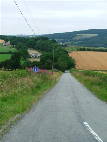
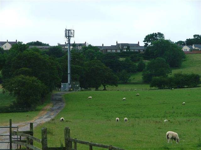
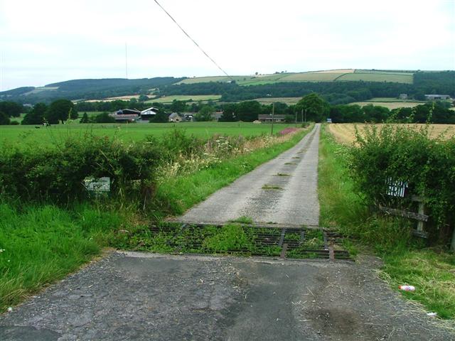
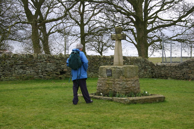
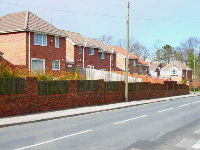
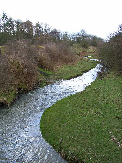
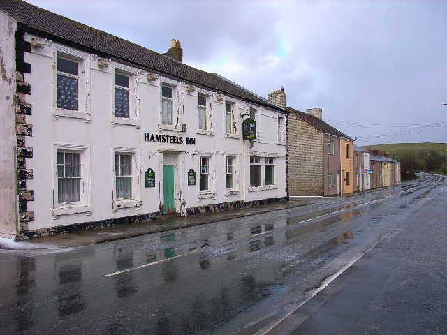
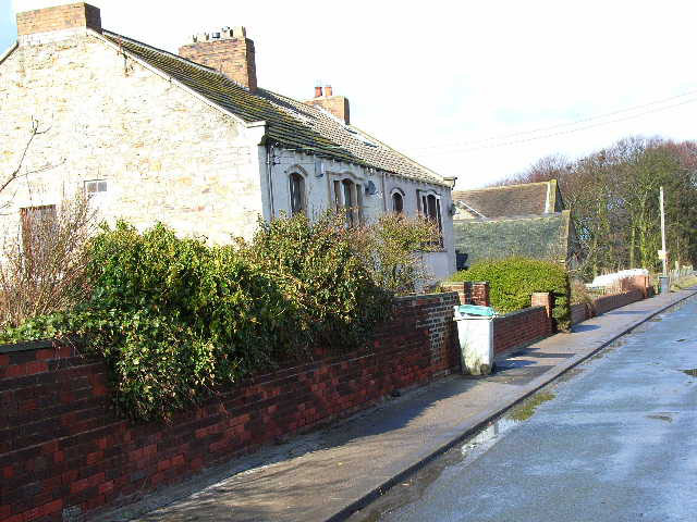
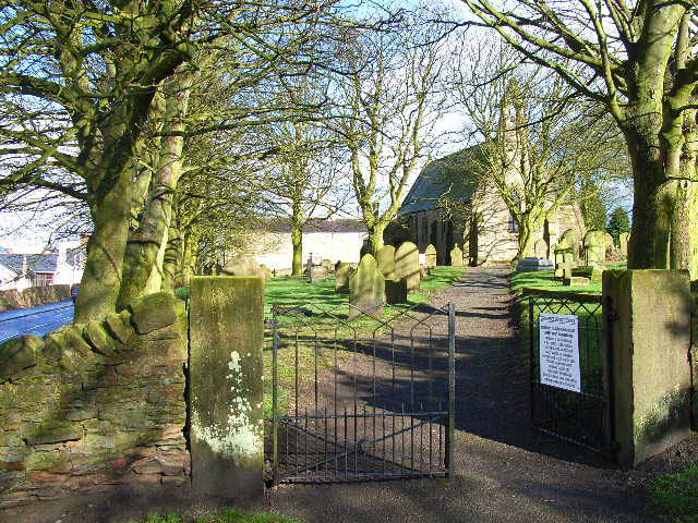
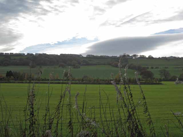
Images are sourced within 2km of 54.783639/-1.6929285 or Grid Reference NZ1943. Thanks to Geograph Open Source API. All images are credited.

No Through Road to Biggen Farm Dropping down to Blackburn Beck
No Through Road to Biggen Farm
Dropping down to Blackburn Beck
Mobile Phone Mast at North Farm Viewed from Low Moor Road, Langley Park
Mobile Phone Mast at North Farm
Viewed from Low Moor Road, Langley Park
Farm Track to Blackburn View north from the Low Moor Road.
Farm Track to Blackburn
View north from the Low Moor Road.
Esh Cross Erected in 1687, Esh Cross stands on the site of an earlier medieval structure. Its origins are religious significance rather than as a market cross.
Esh Cross
Erected in 1687, Esh Cross stands on the site of an earlier medieval structure. Its origins are religious significance rather than as a market cross.
Esh Winning Primary School
New housing at Esh Winning On the B6302 in the north-west of the village. Characteristic of the growing gentrification of the old coal mining villages in County Durham
New housing at Esh Winning
On the B6302 in the north-west of the village. Characteristic of the growing gentrification of the old coal mining villages in County Durham
The River Deerness at Esh Winning Looking upstream
The River Deerness at Esh Winning
Looking upstream
Coronation Homes, Esh Winning Completed in 1911, these "homes" were presumably built for retired coal miners
Coronation Homes, Esh Winning
Completed in 1911, these "homes" were presumably built for retired coal miners
Fair View, Esh Winning
Quebec The one in County Durham, not the one in Canada! Taken shortly after a vicious hailstorm.
Quebec
The one in County Durham, not the one in Canada! Taken shortly after a vicious hailstorm.
House on the Quebec to Esh road
St Michael's and All Angels Church, Esh Dating back to the 13th century. Stands in the attractive village of Esh on top of a steep ridge overlooking the Browney Valley
St Michael's and All Angels Church, Esh
Dating back to the 13th century. Stands in the attractive village of Esh on top of a steep ridge overlooking the Browney Valley
Esh village Esh village stands at the top of a steep escarpment overlooking the Browney valley. Here seen from the old Lanchester railway path with a dramatic sky as backdrop.
Esh village
Esh village stands at the top of a steep escarpment overlooking the Browney valley. Here seen from the old Lanchester railway path with a dramatic sky as backdrop.
Langley Park Cemetery Langley Park is an old 'pit village' of north-west County Durham. In this group of graves that of football manager Sir Bobby Robson is right of centre.
Langley Park Cemetery
Langley Park is an old 'pit village' of north-west County Durham. In this group of graves that of football manager Sir Bobby Robson is right of centre.
Pylon Line Across Fields Pylons carry high voltage electricity cross the NW. of County Durham N. of the village of Esh Winning. Concealed in or near to the mid-ground trees O.S. Explorer 307 records the site 'Greenland Drift', a coal mine worked, probably until fairly recent times.
Pylon Line Across Fields
Pylons carry high voltage electricity cross the NW. of County Durham N. of the village of Esh Winning. Concealed in or near to the mid-ground trees O.S. Explorer 307 records the site 'Greenland Drift', a coal mine worked, probably until fairly recent times.
Greenland Farm Viewed from Greenland Road; the farm lies N. of the Durham 'pit village' of Esh Winning.
Greenland Farm
Viewed from Greenland Road; the farm lies N. of the Durham 'pit village' of Esh Winning.
Village of Quebec Quebec is a small settlement, once a mining village in County Durham.
Village of Quebec
Quebec is a small settlement, once a mining village in County Durham.
Esh Cross and Village Green This cross was restored in 1999 by the stonemason David Edwick. The shaft has clearly been replaced and the engraving on the attached metal plate tells that the remnants of the original may be seen in the church, which is beyond the distant stone wall.
Esh Cross and Village Green
This cross was restored in 1999 by the stonemason David Edwick. The shaft has clearly been replaced and the engraving on the attached metal plate tells that the remnants of the original may be seen in the church, which is beyond the distant stone wall.
Show me another place!

Hag Wood is located at Grid Ref: NZ1943 (Lat: 54.783639, Lng: -1.6929285)

Unitary Authority: County Durham

Police Authority: Durham

What 3 Words

///arrow.snore.celebrate. Near Langley Park, Co. Durham

Nearby Locations

Hag Wood

Related Wikis

Esh, County Durham

Esh is a village and civil parish situated around five miles north-west of Durham in County Durham, England. The central area of the village contains...

Quebec, County Durham

Quebec is a small village in County Durham, in North East England. Once a coal mining village, it is situated 6 miles (10 km) west of the city of Durham...

Esh Winning

Esh Winning is a village, and location of a former colliery, in County Durham, England. It is situated in the Deerness Valley 5 miles (8 km) to the west...

Waterhouses railway station (Durham)

Waterhouses railway station, on the Deerness Valley Railway, south of the village of Esh Winning in County Durham, England, was opened on 1 November 1877...

Nearby Amenities

Located within 500m of 54.783639,-1.6929285
Power: tower
Lat/Long: 54.7832734/-1.6979798
Power: tower
Lat/Long: 54.7812722/-1.6954569
Barrier: stile
Lat/Long: 54.7839213/-1.6852251
Barrier: stile
Lat/Long: 54.7876137/-1.6942066
Barrier: stile
Lat/Long: 54.7877158/-1.6943139
Power: pole
Lat/Long: 54.781457/-1.6888019
Power: pole
Lat/Long: 54.7815707/-1.6878793
Power: pole
Lat/Long: 54.7818074/-1.6860178
Barrier: stile
Lat/Long: 54.7847666/-1.6866451
The data included in this document is from www.openstreetmap.org. The data is made available under ODbL.

Have you been to Hag Wood?

Leave your review of Hag Wood below (or comments, questions and feedback).