Barn Covert
Wood, Forest in Warwickshire North Warwickshire
England
Barn Covert
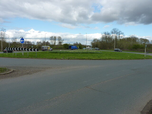
Barn Covert is a picturesque woodland located in Warwickshire, England. Situated in the heart of the county, this forested area covers a vast expanse of approximately 200 acres. It is well-known for its natural beauty, tranquility, and diverse flora and fauna.
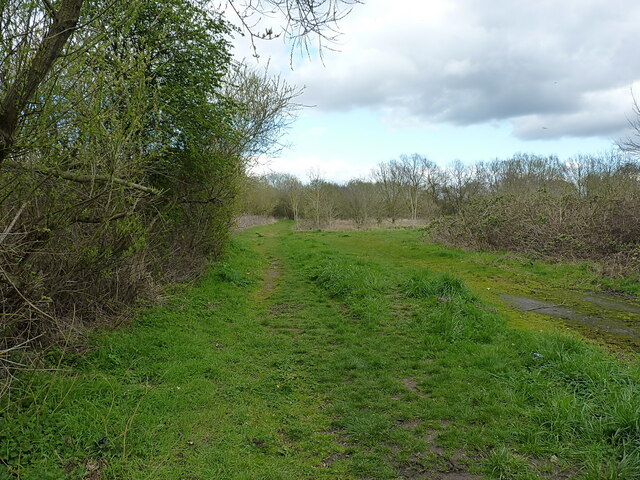
The woodland is predominantly made up of native broadleaf trees, including oak, beech, birch, and ash. These towering trees create a dense canopy, providing shelter and habitat for a variety of wildlife. Visitors to Barn Covert can expect to encounter a range of species, such as deer, foxes, rabbits, and a multitude of bird species.
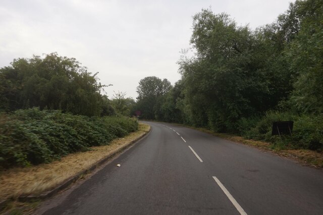
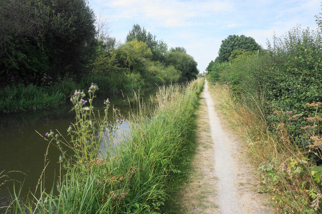
The forest is crisscrossed with a network of well-maintained footpaths, making it an ideal location for walking, hiking, and nature enthusiasts. These trails offer stunning views of the woodland and allow visitors to explore its hidden corners. In the spring, the forest floor is covered with a vibrant carpet of bluebells, creating a truly magical atmosphere.
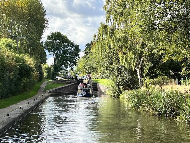
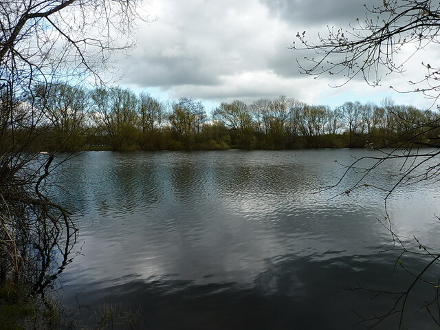
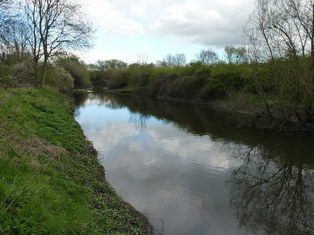
Barn Covert is also home to a small pond, which adds to the overall charm of the area. This water feature attracts a variety of aquatic species, including frogs, newts, and dragonflies.
The woodland is open to the public throughout the year, providing a peaceful retreat for those seeking solace in nature. Whether it's a leisurely stroll, a picnic, or wildlife spotting, Barn Covert has something to offer for everyone who appreciates the beauty of Warwickshire's woodlands.
If you have any feedback on the listing, please let us know in the comments section below.
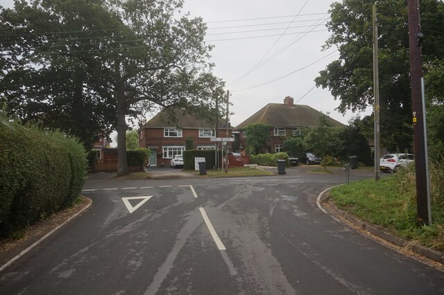
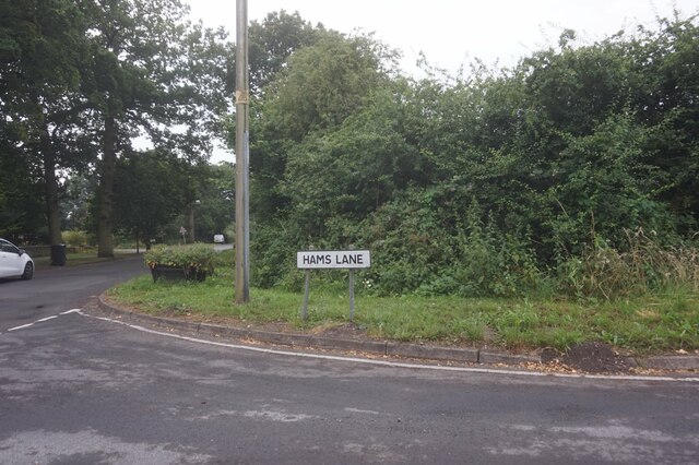
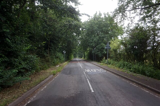
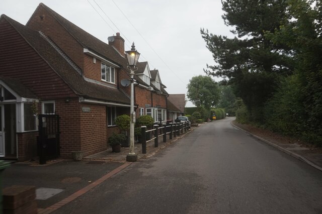
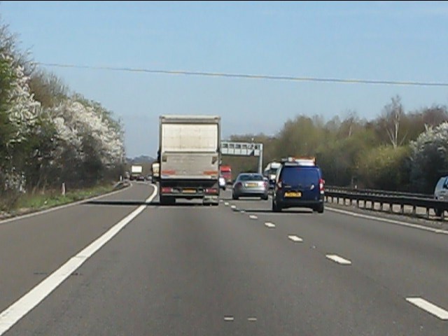
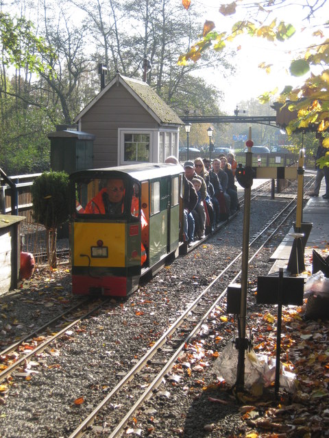
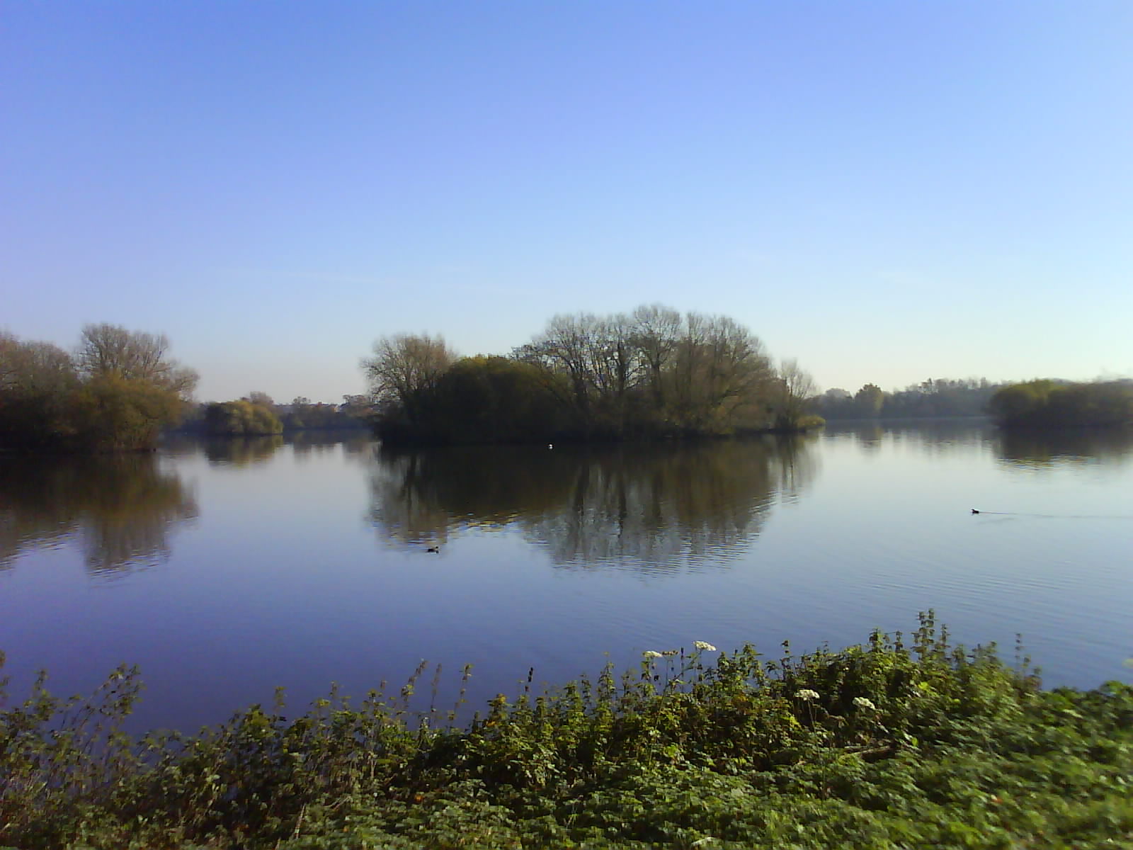
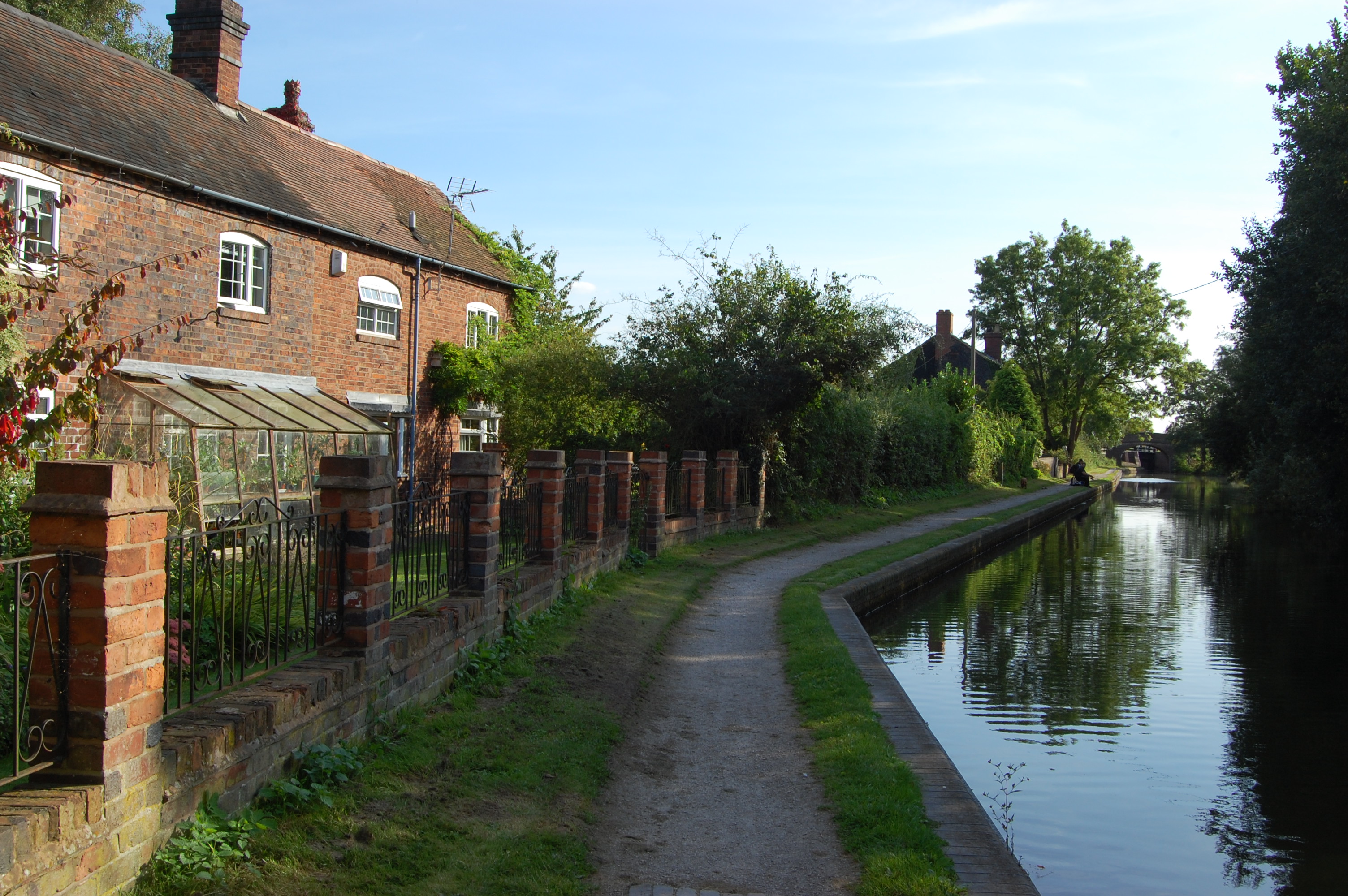
Barn Covert Images
Images are sourced within 2km of 52.551514/-1.7121928 or Grid Reference SP1994. Thanks to Geograph Open Source API. All images are credited.


Barn Covert is located at Grid Ref: SP1994 (Lat: 52.551514, Lng: -1.7121928)
Administrative County: Warwickshire
District: North Warwickshire
Police Authority: Warwickshire
What 3 Words
///frames.political.urge. Near Kingsbury, Warwickshire
Nearby Locations
Related Wikis

Marston Box Rail Bridge
Marston Box Rail Bridge is a railway bridge currently under construction in the United Kingdom. Once complete, it will carry High Speed 2 over the M42...

A446 road
The A446 is an A road in Zone 4 of the Great Britain numbering scheme. == History == The 1922 route of the A446 was Leamington – Kenilworth – Coleshill...
Kingsbury Water Park
Kingsbury Water Park is a country park in north Warwickshire, England, not far from Birmingham and lying on the River Tame. It is owned and managed by...
Bodymoor Heath
Bodymoor Heath is a small village in the North Warwickshire district of the county of Warwickshire in England, situated on, and with a bridge over, the...
Echills Wood Railway
The Echills Wood Railway is a 7+1⁄4 in (184 mm) miniature hobbyist railway in Kingsbury Water Park, Warwickshire, England. A feature of the railway is...
UK Championship (golf)
The UK Championship, known as the ISPS Handa UK Championship for sponsorship reasons, was a professional golf tournament which was held 27–30 August 2020...
1993 Ryder Cup
The 30th Ryder Cup Matches were held in England at The Belfry in Wishaw, Warwickshire, near Sutton Coldfield. The United States team won a second consecutive...
1989 Ryder Cup
The 28th Ryder Cup Matches were held 22–24 September 1989 at The Belfry in Wishaw, Warwickshire, England, near Sutton Coldfield. For only the second time...
Nearby Amenities
Located within 500m of 52.551514,-1.7121928Have you been to Barn Covert?
Leave your review of Barn Covert below (or comments, questions and feedback).