Ravenscliffe Wood
Wood, Forest in Yorkshire
England
Ravenscliffe Wood
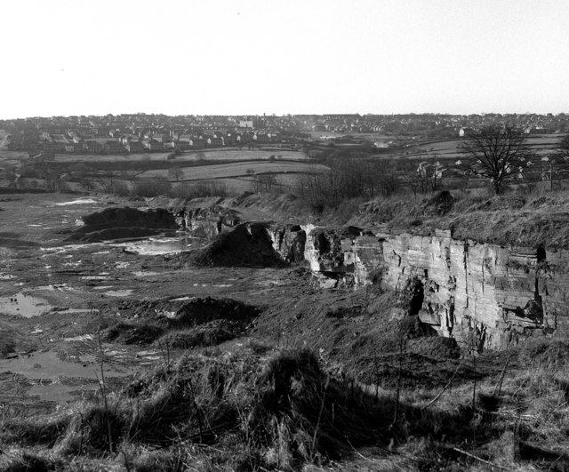
Ravenscliffe Wood is a picturesque woodland located in Yorkshire, England. Spanning over a vast area, it is considered one of the most beautiful and well-preserved woodlands in the region. The wood is characterized by its dense canopy of trees, diverse flora, and rich wildlife.
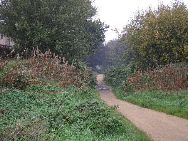
The woodland is primarily composed of deciduous trees such as oak, beech, and ash, which provide a stunning display of vibrant colors during the autumn season. The forest floor is adorned with a carpet of bluebells and other wildflowers, creating a breathtaking sight in the springtime.
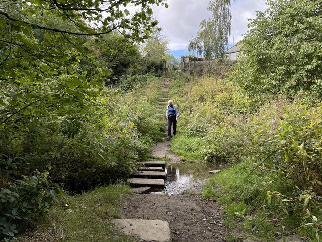
Ravenscliffe Wood is renowned for its tranquil and serene atmosphere, making it a popular destination for nature enthusiasts and hikers. The woodland offers a network of well-maintained footpaths and trails, allowing visitors to explore its beauty at their own pace. Along the way, one can encounter various wildlife species such as deer, foxes, and a wide range of bird species, including the majestic raven, from which the wood gets its name.
Additionally, Ravenscliffe Wood is home to an abundance of biodiversity, with numerous protected species of plants and animals inhabiting its grounds. The wood is carefully managed to ensure the preservation of its natural environment, with conservation efforts focused on maintaining the delicate balance of the ecosystem.
Overall, Ravenscliffe Wood stands as a testament to the beauty and importance of woodland preservation. Its stunning landscapes, diverse flora and fauna, and peaceful ambiance make it a must-visit destination for nature lovers seeking a tranquil retreat in the heart of Yorkshire.
If you have any feedback on the listing, please let us know in the comments section below.
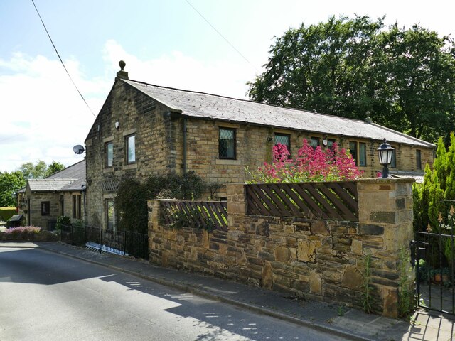
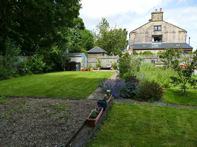
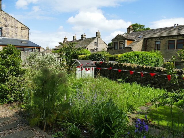
Ravenscliffe Wood Images
Images are sourced within 2km of 53.817693/-1.7045843 or Grid Reference SE1935. Thanks to Geograph Open Source API. All images are credited.


Ravenscliffe Wood is located at Grid Ref: SE1935 (Lat: 53.817693, Lng: -1.7045843)
Division: West Riding
Unitary Authority: Leeds
Police Authority: West Yorkshire
What 3 Words
///fails.bubble.spicy. Near Pudsey, West Yorkshire
Nearby Locations
Related Wikis
Ravenscliffe, West Yorkshire
Ravenscliffe is a housing estate in the Eccleshill ward of the city of Bradford District, in the English county of West Yorkshire. Ravenscliffe is located...
Eccleshill railway station
Eccleshill railway station was a railway station in Eccleshill, West Yorkshire, England. == History == During the 1860s, two small railway companies were...

Eccleshill Adventure Playground
Eccleshill Adventure Playground (organisation renamed PlayBradford in 2020), locally known as The Big Swing, is an Adventure playground that has operated...
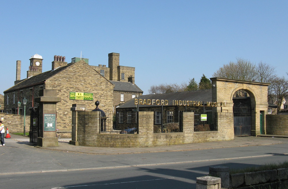
Bradford Industrial Museum
Bradford Industrial Museum, established 1974 in Moorside Mills, Eccleshill, Bradford, United Kingdom, specializes in relics of local industry, especially...
Nearby Amenities
Located within 500m of 53.817693,-1.7045843Have you been to Ravenscliffe Wood?
Leave your review of Ravenscliffe Wood below (or comments, questions and feedback).