Beer Furlong Clump
Wood, Forest in Gloucestershire Cotswold
England
Beer Furlong Clump

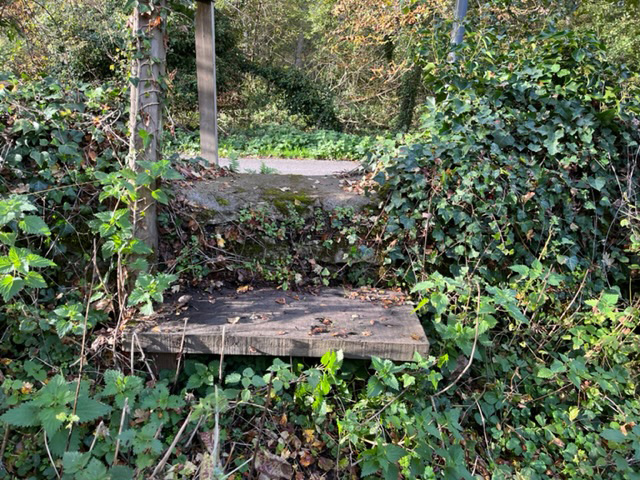
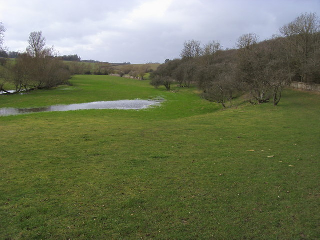
Beer Furlong Clump is a captivating wooded area located in Gloucestershire, England. Nestled within the larger Forest of Dean, this small yet enchanting woodland is a popular destination for nature lovers and outdoor enthusiasts. The clump is situated near the village of Parkend and covers an area of approximately 10 hectares.
The woodland boasts a diverse range of tree species, including oak, beech, and pine, creating a rich tapestry of colors throughout the year. The dense canopy provides a haven for a variety of wildlife, including birds, deer, and small mammals, making it an ideal spot for wildlife spotting and birdwatching.
Visitors to Beer Furlong Clump can explore the well-maintained footpaths that wind through the woodland, offering a peaceful and tranquil experience. The paths lead to several viewpoints, providing stunning vistas of the surrounding countryside and the nearby Severn Estuary.
For those looking to delve deeper into the history of the area, the clump is located near the remnants of an Iron Age hill fort, adding an extra layer of intrigue to the landscape. Archaeological remains can still be found in the vicinity, adding to the sense of wonder and historical significance.
Overall, Beer Furlong Clump in Gloucestershire offers a delightful escape into nature, with its scenic beauty, diverse wildlife, and historical interest. Whether one chooses to hike, picnic, or simply immerse themselves in the tranquility of the wood, this charming woodland is sure to leave a lasting impression on visitors.
If you have any feedback on the listing, please let us know in the comments section below.
Beer Furlong Clump Images
Images are sourced within 2km of 51.751802/-1.7235137 or Grid Reference SP1905. Thanks to Geograph Open Source API. All images are credited.


Beer Furlong Clump is located at Grid Ref: SP1905 (Lat: 51.751802, Lng: -1.7235137)
Administrative County: Gloucestershire
District: Cotswold
Police Authority: Gloucestershire
What 3 Words
///rumbles.waters.importing. Near Fairford, Gloucestershire
Nearby Locations
Related Wikis

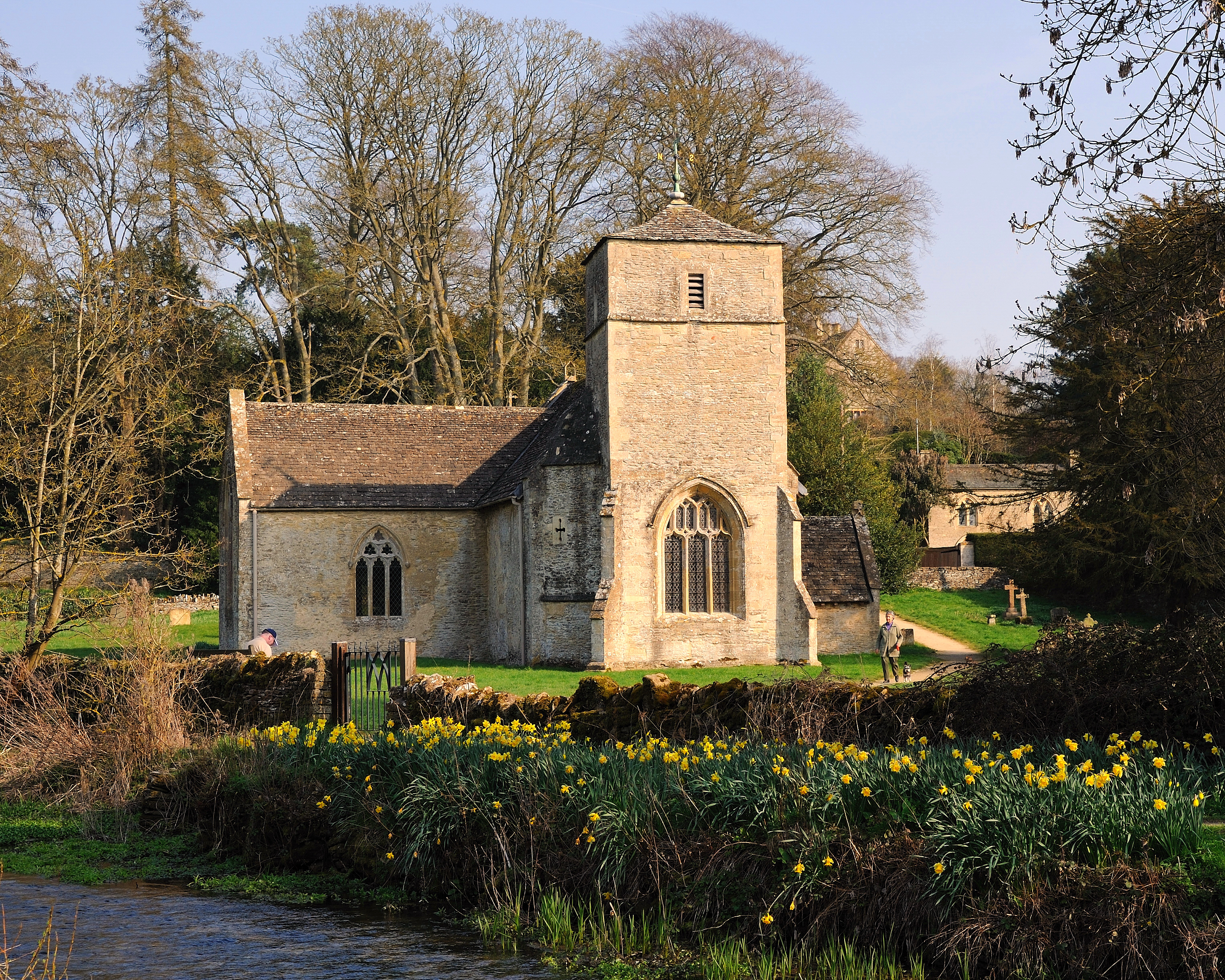
Church of St Andrew, Eastleach Turville
The Anglican Church of St Andrew at Eastleach Turville in the Cotswold District of Gloucestershire, England, was built in the 12th century. It is a grade...
Eastleach
Eastleach is a civil parish in the county of Gloucestershire, England. It was created in 1935 when the separate parishes of Eastleach Turville and Eastleach...

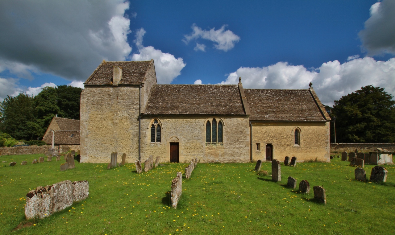
St Michael and St Martin's Church, Eastleach Martin
St Michael and St Martin's Church is a historic Anglican church in Eastleach Martin, Gloucestershire, England under the care of The Churches Conservation...

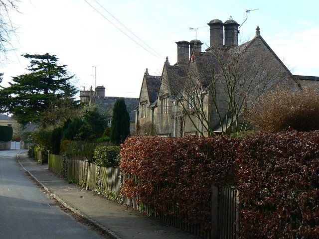
Eastleach House
Eastleach House is Grade II listed country house in Eastleach Martin, Gloucestershire, designed by the architect Walter Cave and completed in 1900. �...
RAF Southrop
Royal Air Force Southrop or more simply RAF Southrop is a former Royal Air Force satellite station west of the village of Southrop, Gloucestershire during...

St Peter's Church, Southrop
St Peter's Church is an Anglican church in Southrop, a Cotswolds village in the English county of Gloucestershire. It is an active parish church in the...
Hatherop
Hatherop is a village and civil parish in the Cotswolds Area of Outstanding Natural Beauty, about 2.5 miles (4.0 km) north of Fairford in Gloucestershire...
Broughton Poggs
Broughton Poggs is a village in the civil parish of Filkins and Broughton Poggs in West Oxfordshire. Broughton Poggs is 3 miles (5 km) southwest of Carterton...
Nearby Amenities
Located within 500m of 51.751802,-1.7235137Have you been to Beer Furlong Clump?
Leave your review of Beer Furlong Clump below (or comments, questions and feedback).