Burnthouse Plantation
Wood, Forest in Yorkshire Richmondshire
England
Burnthouse Plantation

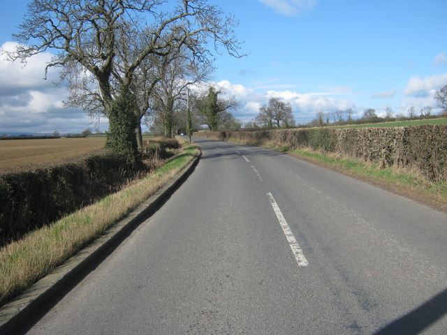
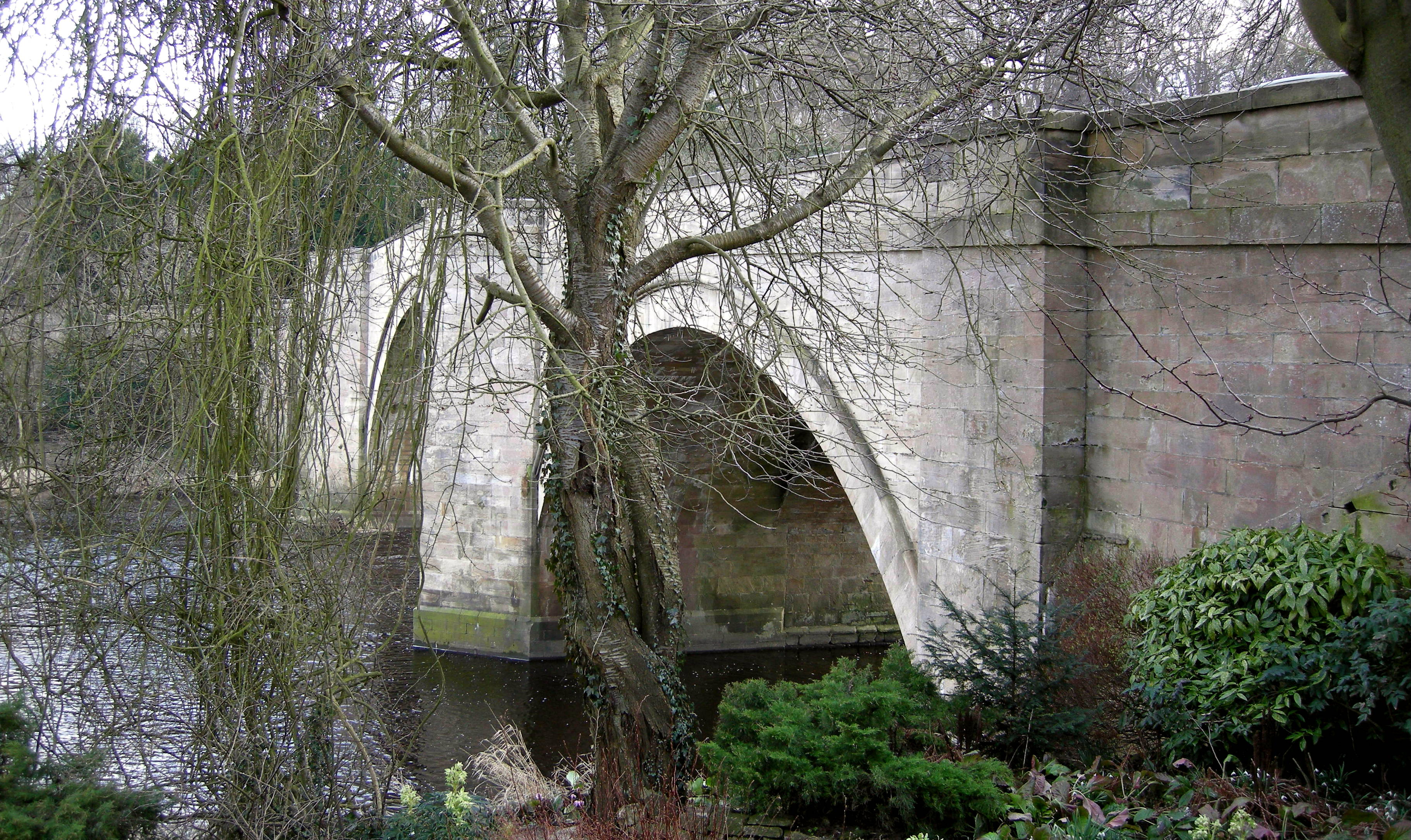
Burnthouse Plantation is a picturesque woodland located in Yorkshire, England. Situated in the heart of the county, it spans over a vast area of approximately 500 acres. This well-preserved forest is a haven for nature enthusiasts and those seeking tranquility amidst stunning natural surroundings.
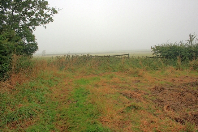
The woodland is predominantly composed of a diverse range of mature trees, including oak, beech, and birch, which create a dense canopy overhead. The forest floor is carpeted with a rich variety of wildflowers, creating a vibrant tapestry of colors during the spring and summer months.
Burnthouse Plantation is renowned for its diverse wildlife, providing a sanctuary for numerous species. Visitors may catch glimpses of deer, foxes, badgers, and a plethora of bird species, including woodpeckers, owls, and warblers. The plantation's tranquil atmosphere is further enhanced by the gentle babble of a nearby stream, which meanders through the woodland.
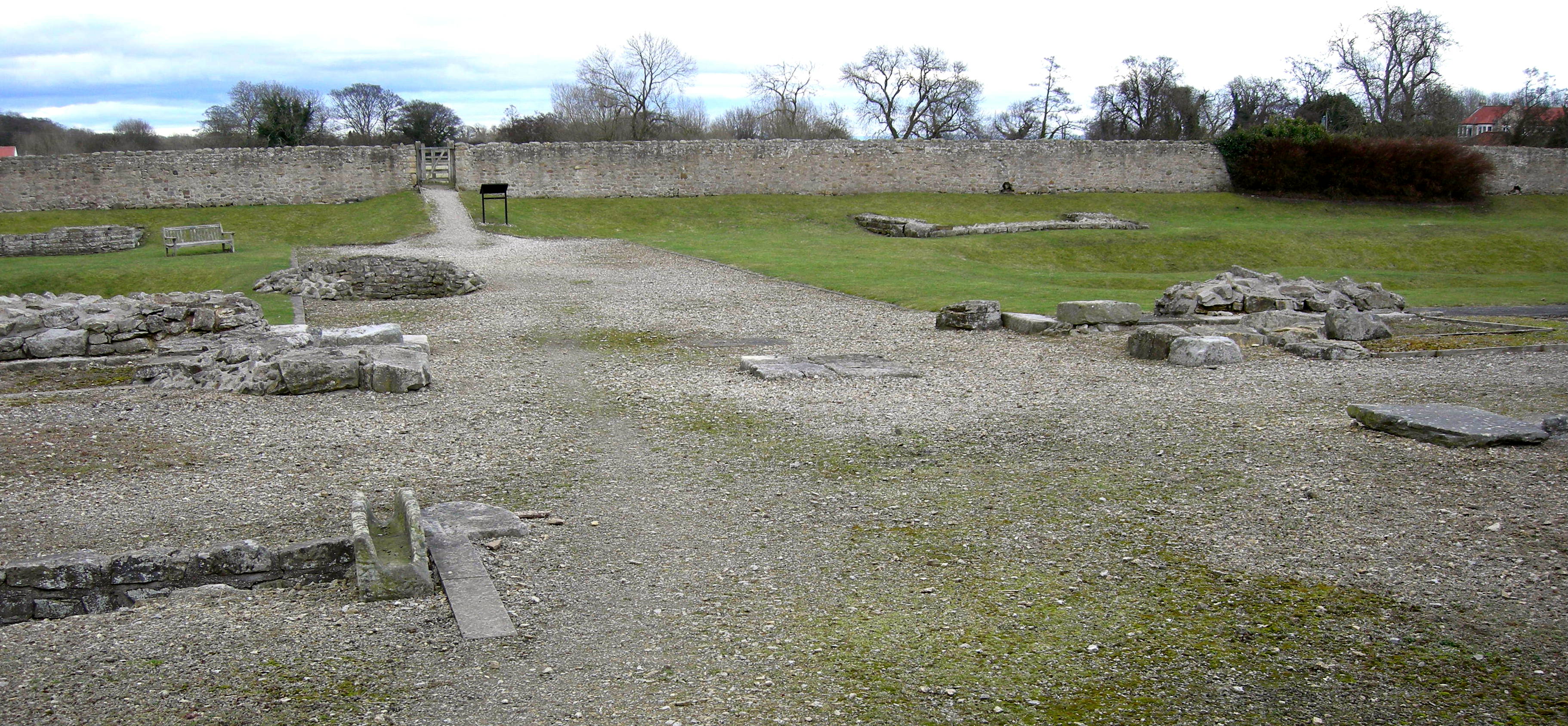
The plantation offers a variety of walking trails, allowing visitors to explore its hidden gems at their own pace. These trails are well-maintained and vary in difficulty, catering to both casual strollers and avid hikers. Along these paths, visitors will discover ancient ruins, including the remnants of a historic Burnthouse, which adds a touch of mystery and intrigue to the woodland.
Moreover, Burnthouse Plantation serves as an important site for ecological research and conservation. Local authorities and environmental organizations work tirelessly to protect and preserve this precious natural habitat, ensuring its long-term sustainability and the continued enjoyment of its visitors.
Overall, Burnthouse Plantation is a captivating woodland retreat, offering a harmonious blend of natural beauty, wildlife, and historical interest. Whether one seeks solitude, adventure, or simply a peaceful escape from the hustle and bustle of everyday life, this enchanting woodland is sure to deliver a memorable experience.
If you have any feedback on the listing, please let us know in the comments section below.
Burnthouse Plantation Images
Images are sourced within 2km of 54.526842/-1.7066306 or Grid Reference NZ1914. Thanks to Geograph Open Source API. All images are credited.


Burnthouse Plantation is located at Grid Ref: NZ1914 (Lat: 54.526842, Lng: -1.7066306)
Division: North Riding
Administrative County: North Yorkshire
District: Richmondshire
Police Authority: North Yorkshire
What 3 Words
///weeknight.blissful.whites. Near Gainford, Co. Durham
Nearby Locations
Related Wikis

Eppleby
Eppleby is a village and civil parish in the Richmondshire district of North Yorkshire, England. It is located about 7 miles (11 km) north of Richmond...
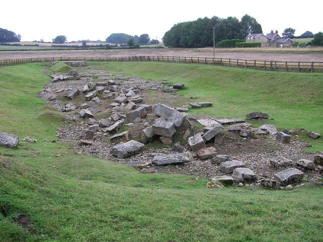
Piercebridge Roman Fort
Piercebridge Roman Fort is a scheduled ancient monument situated in the village of Piercebridge on the banks of the River Tees in modern-day County Durham...
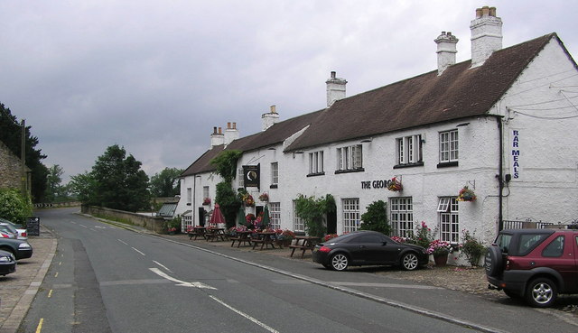
Piercebridge
Piercebridge is a village and civil parish in the borough of Darlington and the ceremonial county of Durham, England. The population of the civil parish...
Battle of Piercebridge
The battle of Piercebridge was fought on 1 December 1642 in County Durham, England, during the First English Civil War. The Earl of Newcastle was advancing...
Cliffe, Richmondshire
Cliffe is a small village and civil parish in Richmondshire district of North Yorkshire, England. A stream called the Glen runs through the village to...

Stanwick St John
Stanwick St John is a village, civil parish, former manor and ecclesiastical parish in the Richmondshire district of North Yorkshire, (formerly "North...
Piercebridge Roman Bridge
Piercebridge Roman Bridge is the ruin of a Roman bridge over the River Tees, northern England. It is near the villages of Cliffe (North Yorkshire) and...

Piercebridge railway station
Piercebridge railway station was a railway station serving the village of Piercebridge in County Durham, England. It was located on the Darlington and...
Have you been to Burnthouse Plantation?
Leave your review of Burnthouse Plantation below (or comments, questions and feedback).