The Oaks
Wood, Forest in Staffordshire East Staffordshire
England
The Oaks
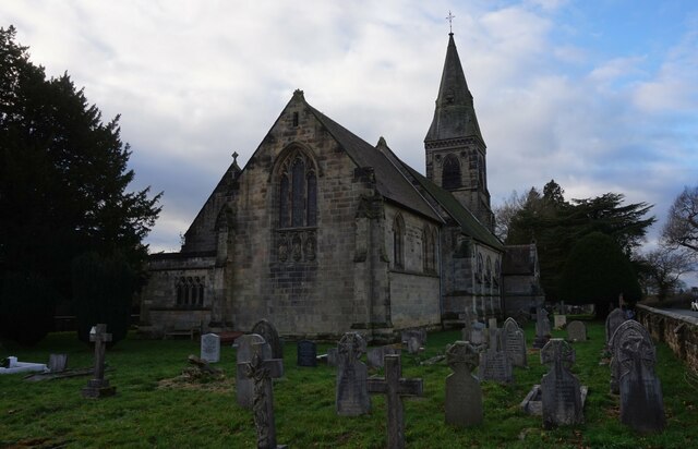
The Oaks, located in Staffordshire, is a picturesque woodland area known for its dense forests and tranquil surroundings. Spanning over a vast expanse, this beautiful wood is a haven for nature enthusiasts and outdoor adventurers alike.
The Oaks is home to a diverse range of flora and fauna, boasting an abundance of towering oak trees, hence the name. These majestic trees provide a breathtaking canopy, casting dappled sunlight onto the forest floor. The wood is also adorned with other native trees such as birch, beech, and maple, creating a vibrant and colorful landscape throughout the seasons.
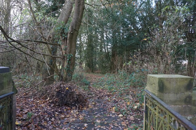
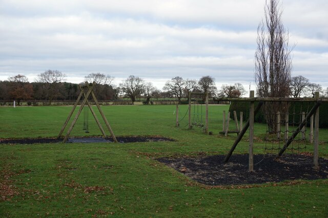
The woodland is crisscrossed by a network of well-maintained footpaths, allowing visitors to explore its enchanting depths. Whether hiking, jogging, or simply taking a leisurely stroll, visitors can immerse themselves in the natural beauty of The Oaks. The wood is also popular among birdwatchers, as it attracts a variety of avian species, including woodpeckers, owls, and various songbirds.
The Oaks is not only a sanctuary for wildlife but also offers recreational activities for visitors. There are designated picnic areas where families and friends can enjoy a peaceful meal amidst the tranquil ambiance. Additionally, the wood provides opportunities for camping and nature photography, allowing individuals to fully experience the serenity and splendor of the area.
Overall, The Oaks in Staffordshire is a must-visit destination for those seeking solace in nature. Its lush forests, diverse wildlife, and well-maintained trails make it an ideal location for outdoor enthusiasts and nature lovers to escape the hustle and bustle of everyday life.
If you have any feedback on the listing, please let us know in the comments section below.
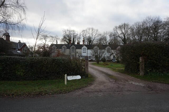
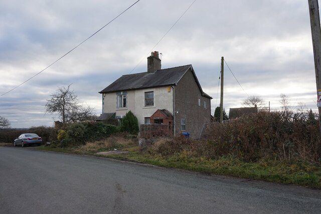
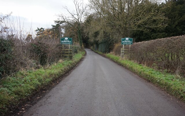
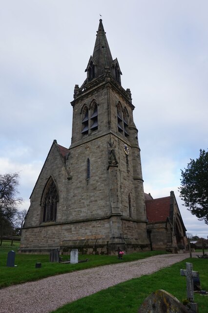
The Oaks Images
Images are sourced within 2km of 52.790914/-1.7214717 or Grid Reference SK1821. Thanks to Geograph Open Source API. All images are credited.

The Oaks is located at Grid Ref: SK1821 (Lat: 52.790914, Lng: -1.7214717)
Administrative County: Staffordshire
District: East Staffordshire
Police Authority: Staffordshire
What 3 Words
///retaliate.twists.that. Near Barton under Needwood, Staffordshire
Nearby Locations
Related Wikis
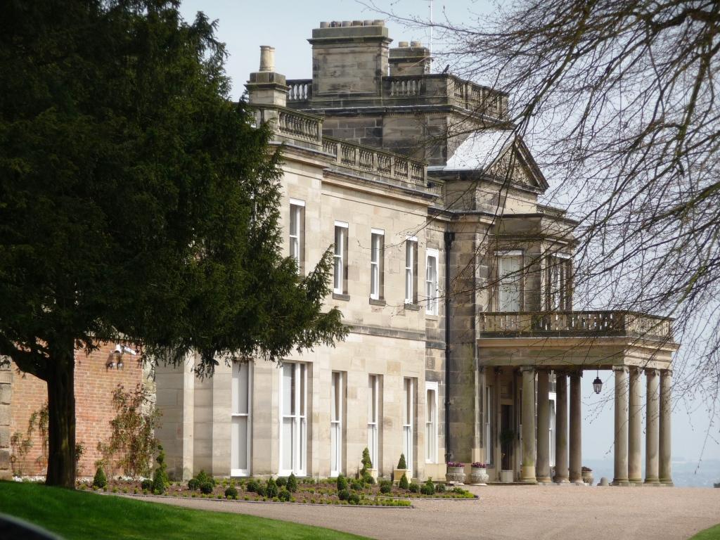
Dunstall Hall
Dunstall Hall is a privately owned 18th century mansion house near Tatenhill, Burton upon Trent, Staffordshire. It is a Grade II* listed building. �...
Dunstall
Dunstall is a small village and civil parish in the borough of East Staffordshire, Staffordshire, England. It lies between Burton upon Trent and Barton...
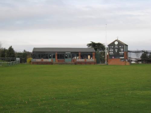
Deer Park, Dunstall
Deer Park is a cricket ground within the grounds of Dunstall Hall, Dunstall, Staffordshire. The first recorded match on the ground was in 1997, when the...

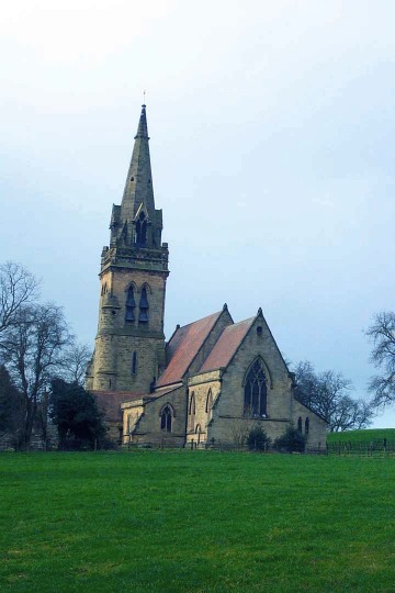
Tatenhill
Tatenhill is an ancient village and a civil parish located in a deep valley, between two hills, which gradually descend from the eastern border of Needwood...
Rangemore
Rangemore is a village in the borough of East Staffordshire, situated approximately 4 miles (6 km) west of the town of Burton upon Trent, on a ridge of...

Brankley Pastures
Brankley Pastures is a nature reserve of the Staffordshire Wildlife Trust. It is about 2.5 miles (4.0 km) miles north-west of Barton-under-Needwood, in...
Branston Water Park
Branston Water Park is a local nature reserve near Burton upon Trent, in Staffordshire, England, adjacent to the village of Branston. == History == The...
John Taylor High School
John Taylor High School is a specialist science and leadership academy located in the East Staffordshire village of Barton-under-Needwood, near Burton...
Nearby Amenities
Located within 500m of 52.790914,-1.7214717Have you been to The Oaks?
Leave your review of The Oaks below (or comments, questions and feedback).