Bannister's Hollies
Wood, Forest in Staffordshire East Staffordshire
England
Bannister's Hollies

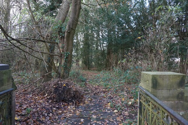
Bannister's Hollies is a picturesque woodland located in Staffordshire, England. Covering an area of approximately 50 acres, this stunning forest is renowned for its abundance of holly trees, which give the area its distinctive name. The forest is nestled within the beautiful Staffordshire countryside, offering visitors a tranquil and idyllic escape from the hustle and bustle of everyday life.
The woodland is home to a diverse range of flora and fauna, with the holly trees being the star attraction. These evergreen trees dominate the landscape, providing a lush and verdant backdrop throughout the year. During the winter months, the holly trees are particularly enchanting, as their vibrant red berries contrast beautifully against the backdrop of the forest's rich green foliage.
Bannister's Hollies is a popular destination for nature enthusiasts, walkers, and photographers alike. The forest boasts a network of well-maintained trails, allowing visitors to explore the area at their own pace. The paths wind through the woodland, passing by ancient oak trees, bubbling brooks, and wildflower meadows, offering breathtaking views at every turn.
The forest is also home to a variety of wildlife, including deer, foxes, and a wide array of bird species. Nature lovers can spend hours observing and capturing these creatures in their natural habitat.
Bannister's Hollies is a true haven for those seeking peace and tranquility in the heart of Staffordshire. With its stunning holly trees, diverse wildlife, and scenic trails, this woodland is a must-visit destination for anyone looking to connect with nature.
If you have any feedback on the listing, please let us know in the comments section below.
Bannister's Hollies Images
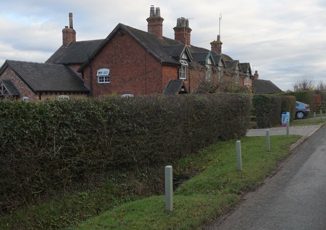
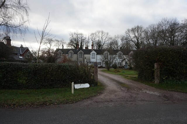
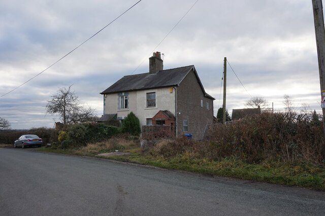
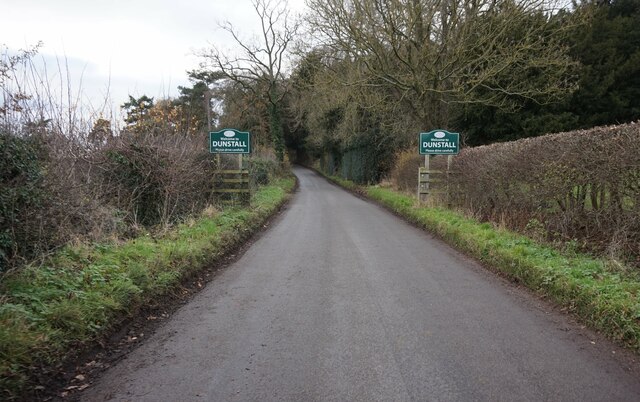
Images are sourced within 2km of 52.792952/-1.7321805 or Grid Reference SK1821. Thanks to Geograph Open Source API. All images are credited.

Bannister's Hollies is located at Grid Ref: SK1821 (Lat: 52.792952, Lng: -1.7321805)
Administrative County: Staffordshire
District: East Staffordshire
Police Authority: Staffordshire
What 3 Words
///regretted.prone.handfuls. Near Barton under Needwood, Staffordshire
Nearby Locations
Related Wikis
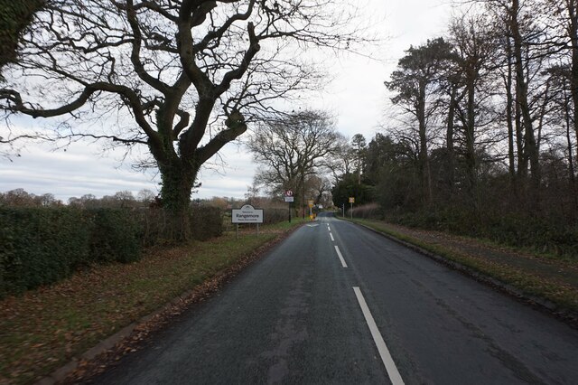
Rangemore
Rangemore is a village in the borough of East Staffordshire, situated approximately 4 miles (6 km) west of the town of Burton upon Trent, on a ridge of...
Dunstall
Dunstall is a small village and civil parish in the borough of East Staffordshire, Staffordshire, England. It lies between Burton upon Trent and Barton...
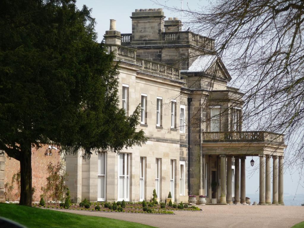
Dunstall Hall
Dunstall Hall is a privately owned 18th century mansion house near Tatenhill, Burton upon Trent, Staffordshire. It is a Grade II* listed building. �...

Brankley Pastures
Brankley Pastures is a nature reserve of the Staffordshire Wildlife Trust. It is about 2.5 miles (4.0 km) miles north-west of Barton-under-Needwood, in...
Nearby Amenities
Located within 500m of 52.792952,-1.7321805Have you been to Bannister's Hollies?
Leave your review of Bannister's Hollies below (or comments, questions and feedback).