Middlemoor Plantation

Wood, Forest in Northumberland

England

Middlemoor Plantation

B6341/A1 Junction, South Charlton The B6341 (and B6347) join the A1 at South Charlton.
B6341/A1 Junction, South Charlton Credit: David Dixon

Middlemoor Plantation is a picturesque woodland located in the county of Northumberland, England. Spanning over a vast area, the plantation is known for its lush greenery and diverse range of tree species, making it an ideal destination for nature enthusiasts and hikers alike.

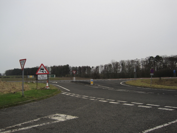
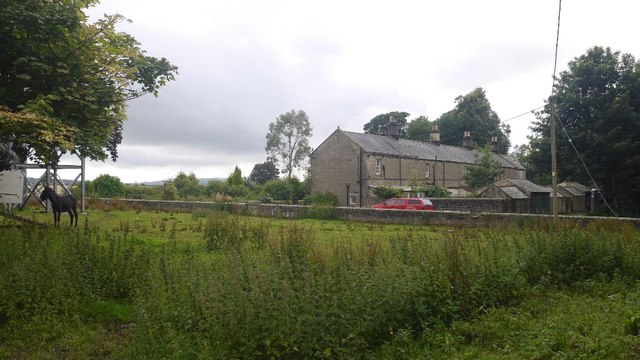
The plantation is situated in the heart of Northumberland, surrounded by rolling hills and breathtaking landscapes. Its strategic location offers visitors a tranquil escape from the hustle and bustle of city life, providing a serene environment to explore and unwind.

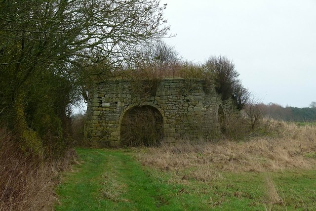
One of the notable features of Middlemoor Plantation is its rich history. The woodland has been carefully managed for generations, with tree planting and conservation efforts dating back several decades. As a result, the plantation boasts a wide variety of tree species, including oak, beech, birch, and pine, creating a beautiful tapestry of colors throughout the seasons.

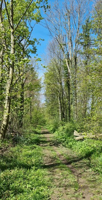
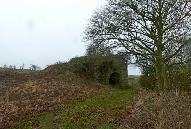
The woodland is crisscrossed with well-maintained walking trails, allowing visitors to explore the plantation at their own pace. These trails cater to all levels of fitness and offer opportunities for both short strolls and longer hikes. Along the way, visitors may encounter various wildlife species, such as deer, rabbits, and a diverse array of birdlife.

Middlemoor Plantation is not only a haven for nature lovers but also serves as an important habitat for local wildlife. In recent years, conservation efforts have been undertaken to protect and enhance the biodiversity within the woodland, making it an ecologically significant site.

Overall, Middlemoor Plantation in Northumberland offers a charming woodland experience, combining natural beauty, historical significance, and a sense of tranquility that is sure to captivate visitors of all ages.

If you have any feedback on the listing, please let us know in the comments section below.

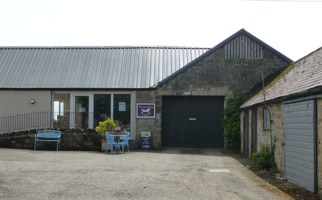
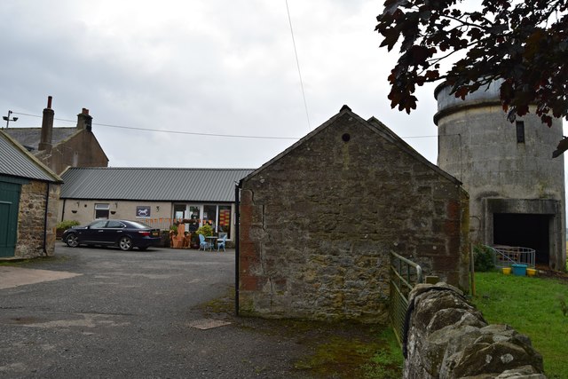
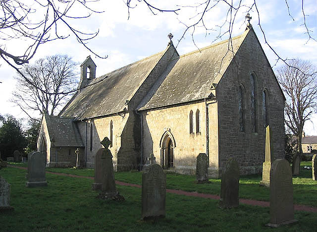
Middlemoor Plantation Images

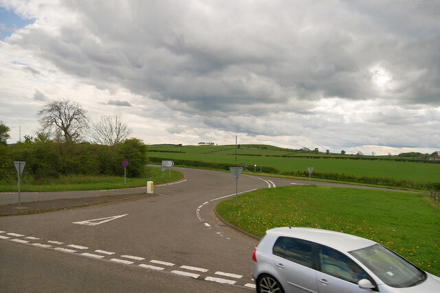
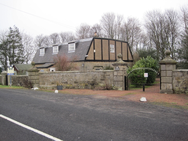
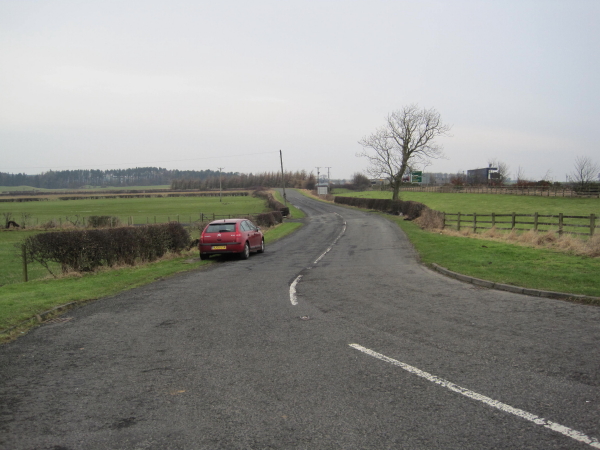
Images are sourced within 2km of 55.463395/-1.7039308 or Grid Reference NU1818. Thanks to Geograph Open Source API. All images are credited.

B6341/A1 Junction, South Charlton The B6341 (and B6347) join the A1 at South Charlton.
B6341/A1 Junction, South Charlton
The B6341 (and B6347) join the A1 at South Charlton.
South Charlton, Northumberland A bend in the B6341 in the vicinity of South Charlton.
South Charlton, Northumberland
A bend in the B6341 in the vicinity of South Charlton.
South Charlton, Northumberland Late afternoon light falling over pastureland to the south of South Charlton, in the distance Longlee Moor can be seen.
South Charlton, Northumberland
Late afternoon light falling over pastureland to the south of South Charlton, in the distance Longlee Moor can be seen.
Rock, Northumberland Looking west long a track to the west of the village of Rock.
Rock, Northumberland
Looking west long a track to the west of the village of Rock.
Lady Well Plantation, Northumberland Looking east along a track in a line of trees in the vicinity of Lady Well Plantation.
Lady Well Plantation, Northumberland
Looking east along a track in a line of trees in the vicinity of Lady Well Plantation.
Drythropple Drythropple used to be a Cartwright / Carpenter / Joiner's cottage and shop.
Drythropple
Drythropple used to be a Cartwright / Carpenter / Joiner's cottage and shop.
Rock Lodge
Rock Lodge
Road to South Charlton
Roads leading to the A1
Postbox and benchmark at Rock Midstead Early style GR wallbox built into the boundary wall of the farmstead. Note also the bench mark.
Postbox and benchmark at Rock Midstead
Early style GR wallbox built into the boundary wall of the farmstead. Note also the bench mark.
Road junction at Rock Midstead The white signs refer to the Art Rock Cafe at the farmstead.
Road junction at Rock Midstead
The white signs refer to the Art Rock Cafe at the farmstead.
Lime kiln, Rock Midstead Three draw kiln, probably early 19th century, in quite reasonable state of preservation. Listed Grade II.
Lime kiln, Rock Midstead
Three draw kiln, probably early 19th century, in quite reasonable state of preservation. Listed Grade II.
Lime kiln, Rock Midstead Three draw kiln, probably early 19th century, in quite reasonable state of preservation. This view shows the ramp up to the charge floor. Listed Grade II.
Lime kiln, Rock Midstead
Three draw kiln, probably early 19th century, in quite reasonable state of preservation. This view shows the ramp up to the charge floor. Listed Grade II.
Rock Midstead Farm and attached cottages. Now home to a cafe.
Rock Midstead
Farm and attached cottages. Now home to a cafe.
Rocking Horse Cafe & Gallery A very welcoming cafe situated in a farm courtyard with pleasant indoor and outdoor tables.
Rocking Horse Cafe & Gallery
A very welcoming cafe situated in a farm courtyard with pleasant indoor and outdoor tables.
The Rocking Horse Café Rock Midstead
The Rocking Horse Café
Rock Midstead
Large barn at the junction Looking across the road at the T junction for Rock.
Large barn at the junction
Looking across the road at the T junction for Rock.
Rennington : A1 Heading south on the A1.
Rennington : A1
Heading south on the A1.
Show me another place!

Middlemoor Plantation is located at Grid Ref: NU1818 (Lat: 55.463395, Lng: -1.7039308)

Unitary Authority: Northumberland

Police Authority: Northumbria

What 3 Words

///doctor.motel.mavericks. Near Alnwick, Northumberland

Related Wikis

Rock Hall, Northumberland

Rock Hall is a privately owned 18th-century country house, at Rock, Rennington, near Alnwick, Northumberland (grid reference NU20082026). It is a Grade...

Rock, Northumberland

Rock is a village and former civil parish, now in the parish of Rennington, in Northumberland, England about 5 miles (8 km) north of Alnwick. In 1951 the...

Rennington

Rennington is a village and civil parish in Northumberland, England about 4 miles (6 km) north of Alnwick. The parish includes the village of Rock and...

South Charlton

South Charlton is a small village and former civil parish, now in the parish of Eglingham, in the county of Northumberland, England, five miles (8 km)...

Nearby Amenities

Located within 500m of 55.463395,-1.7039308
Rock South Farm
Place: hamlet
Lat/Long: 55.4637934/-1.6978298
Communication Mobile Phone: yes
Man Made: mast
Tower Construction: freestanding
Tower Type: communication
Lat/Long: 55.4609319/-1.7101476
Give Way
Direction: forward
Lat/Long: 55.4611645/-1.7099187
Give Way
Direction: backward
Lat/Long: 55.461229/-1.7097505
The data included in this document is from www.openstreetmap.org. The data is made available under ODbL.

Have you been to Middlemoor Plantation?

Leave your review of Middlemoor Plantation below (or comments, questions and feedback).