Black Plantation
Downs, Moorland in Northumberland
England
Black Plantation
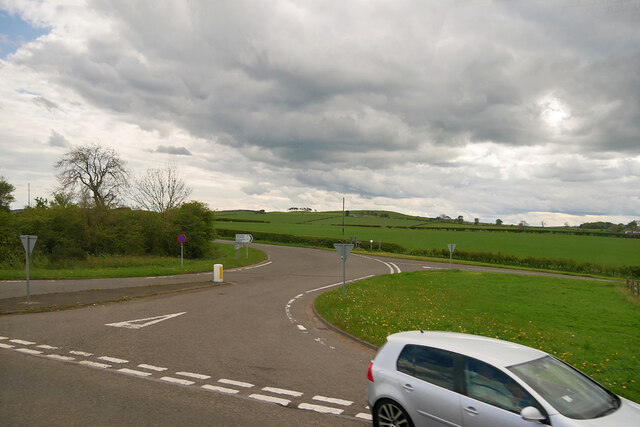
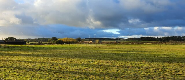
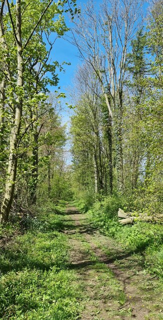
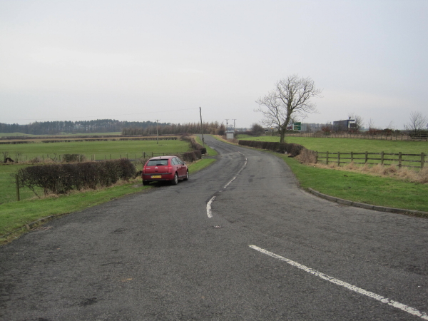
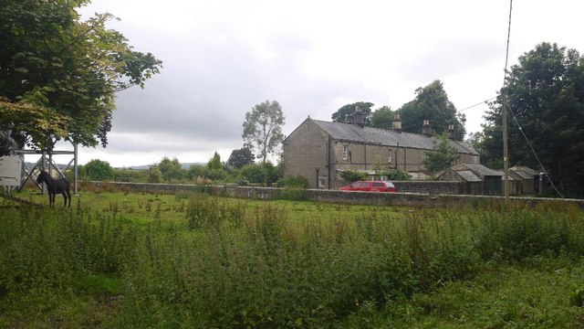
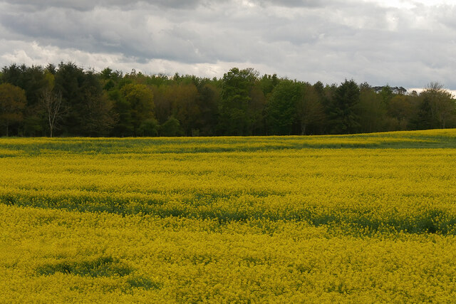
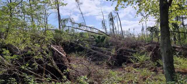
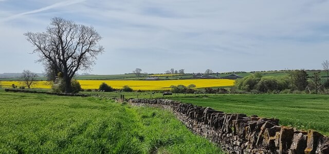
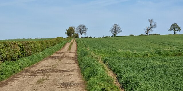
Black Plantation is a vast and picturesque area located in Northumberland, England. Nestled amidst the Downs and Moorland, it offers breathtaking natural beauty and a rich historical background. Covering an expansive area of land, the plantation is renowned for its diverse landscapes, encompassing rolling hills, dense forests, and open meadows.
The name "Black Plantation" originates from the dark, fertile soil found in the region, providing a perfect habitat for a variety of plant and animal species. The area boasts a remarkable array of flora, including ancient oak trees, heather, and wildflowers, creating a vibrant and colorful tapestry throughout the seasons.
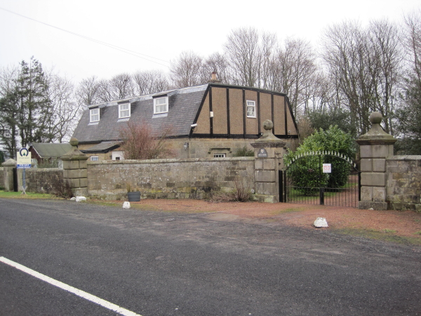
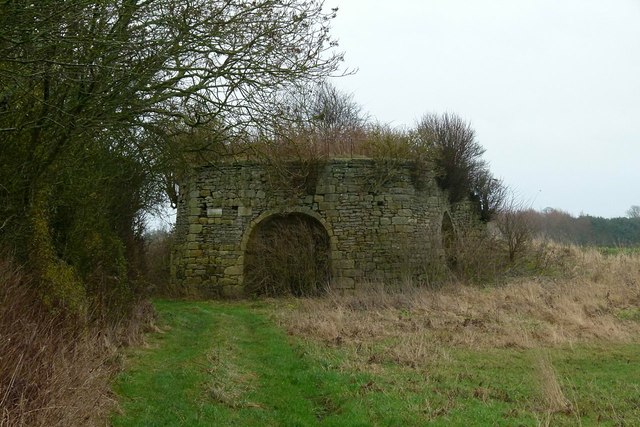
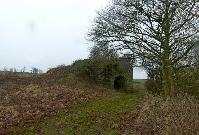
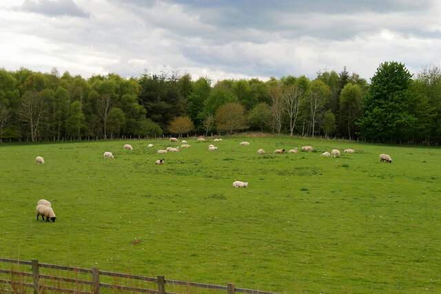
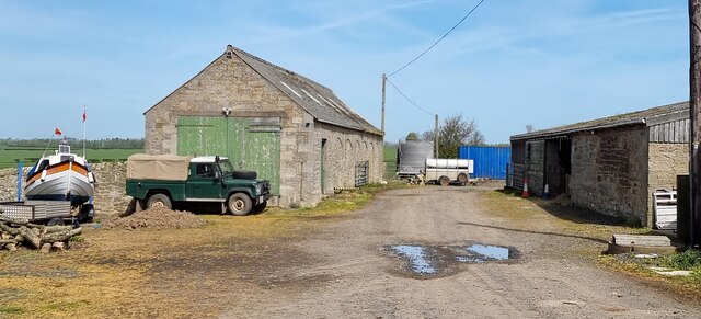
Historically, Black Plantation has played a significant role in the region's agricultural heritage. The land was once used for farming and sheep grazing, contributing to the local economy. Today, remnants of this heritage can still be found, with old stone walls and ruins of former farm buildings dotting the landscape.
The plantation is not only a haven for nature enthusiasts but also a popular destination for outdoor activities. Visitors can explore the numerous walking trails and cycling routes that crisscross the area, offering stunning panoramas and opportunities for wildlife spotting. The diverse terrain also makes it an ideal spot for horse riding and birdwatching.
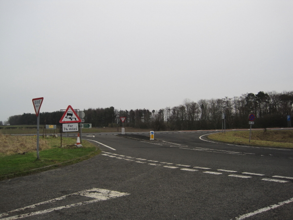
Black Plantation is easily accessible, with well-maintained roads leading to its entrance and ample parking facilities available. It offers a peaceful retreat from the hustle and bustle of city life, providing a chance to connect with nature and appreciate the serene beauty that Northumberland has to offer.
If you have any feedback on the listing, please let us know in the comments section below.
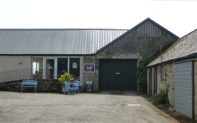
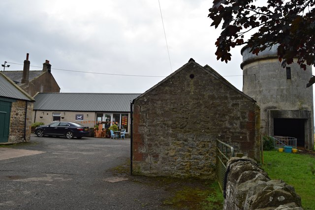
Black Plantation Images
Images are sourced within 2km of 55.459922/-1.7095864 or Grid Reference NU1818. Thanks to Geograph Open Source API. All images are credited.
Black Plantation is located at Grid Ref: NU1818 (Lat: 55.459922, Lng: -1.7095864)
Unitary Authority: Northumberland
Police Authority: Northumbria
What 3 Words
///comet.dating.tastings. Near Alnwick, Northumberland
Nearby Locations
Related Wikis

Rock Hall, Northumberland
Rock Hall is a privately owned 18th-century country house, at Rock, Rennington, near Alnwick, Northumberland (grid reference NU20082026). It is a Grade...
South Charlton
South Charlton is a small village and former civil parish, now in the parish of Eglingham, in the county of Northumberland, England, five miles (8 km)...

Rennington
Rennington is a village in Northumberland, England about 4 miles (6 km) north of Alnwick. == Governance == Rennington is in the parliamentary constituency...

Broxfield
Broxfield is a hamlet and former civil parish, now in the parish of Rennington, in the county of Northumberland, England, off the B1340. In 1951 the parish...

Rock, Northumberland
Rock is a village and former civil parish, now in the parish of Rennington, in Northumberland, England about 5 miles (8 km) north of Alnwick. In 1951 the...

Hulne Priory
Hulne Priory, Hulne Friary or Hulne Abbey was a friary founded in 1240 by the Carmelites or 'Whitefriars'. It is said that the Northumberland site, quite...

Battle of Alnwick (1093)
The Battle of Alnwick is one of two battles fought near the town of Alnwick in Northumberland, England. In the battle, which occurred on 13 November 1093...

Hulne Park
Hulne Park is the only one remaining of the three parks that once surrounded Alnwick Castle in Northumberland, providing wood and meat for the Percy family...
Nearby Amenities
Located within 500m of 55.459922,-1.7095864Have you been to Black Plantation?
Leave your review of Black Plantation below (or comments, questions and feedback).