Appleslade Inclosure
Wood, Forest in Hampshire New Forest
England
Appleslade Inclosure
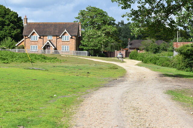
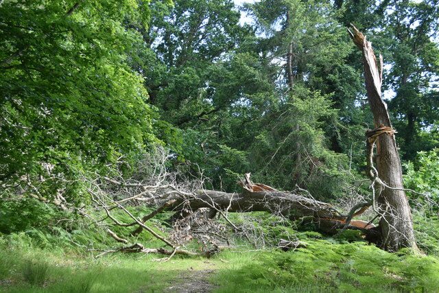
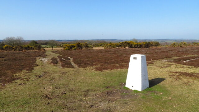
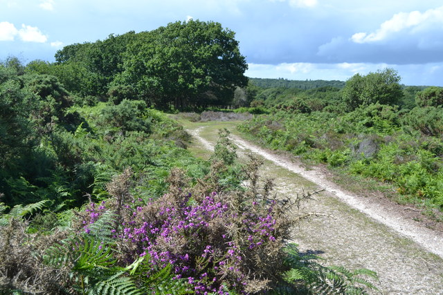
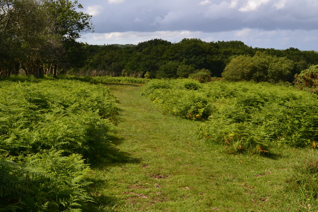
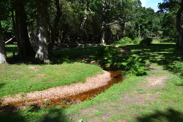
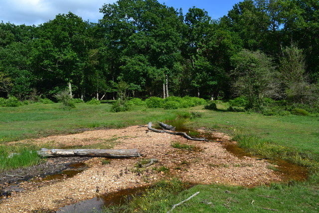
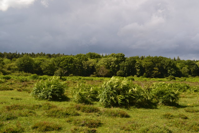
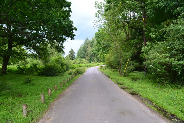
Appleslade Inclosure is a picturesque woodland area located in Hampshire, England. Covering an area of approximately 100 hectares, it is a part of the larger New Forest National Park. The inclosure is characterized by a diverse range of trees, including oak, beech, and conifers, providing a rich habitat for numerous species of flora and fauna.
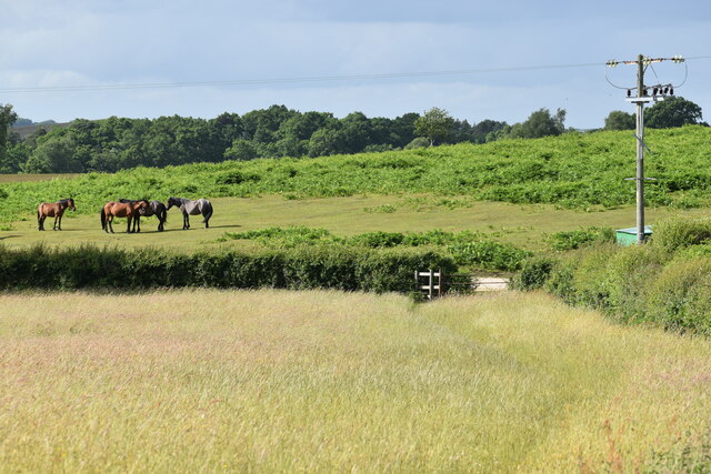
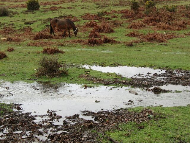
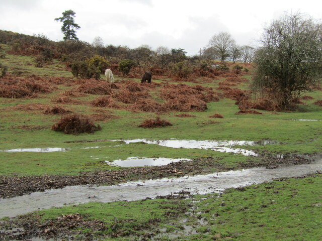
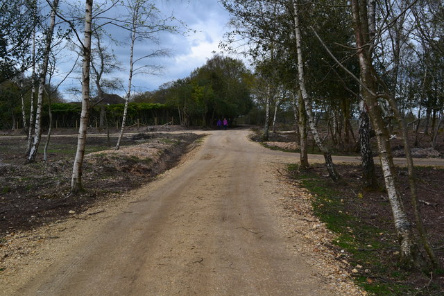
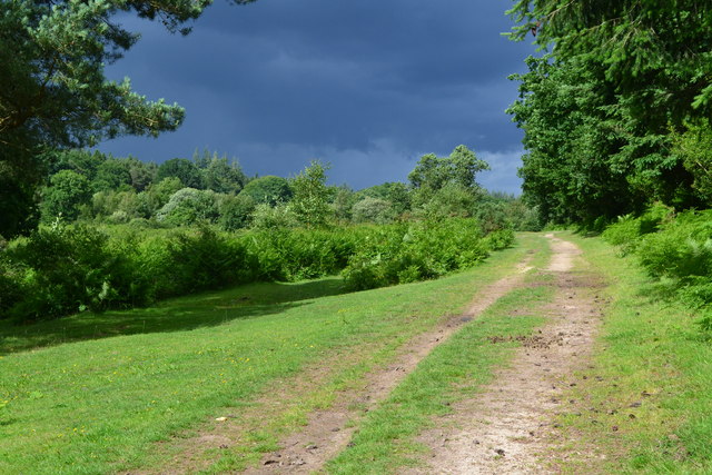
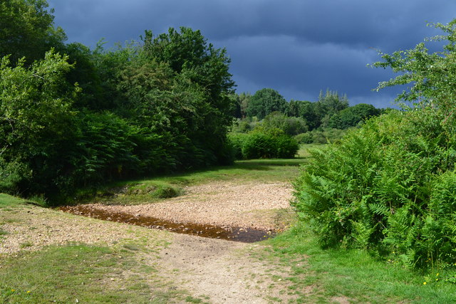
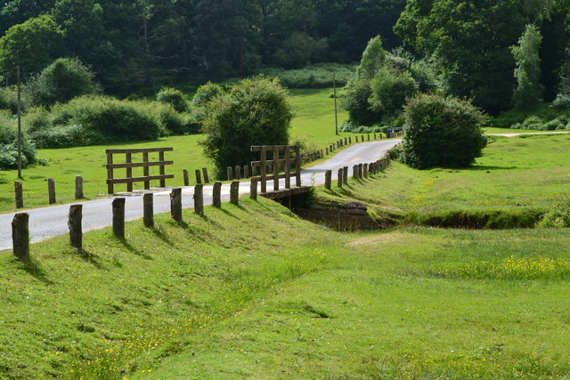
The woodland is easily accessible, with several well-maintained footpaths and trails that allow visitors to explore the area on foot or by bicycle. These paths wind through the forest, offering breathtaking views of the surrounding landscape and providing an opportunity to spot wildlife such as deer, squirrels, and various bird species.
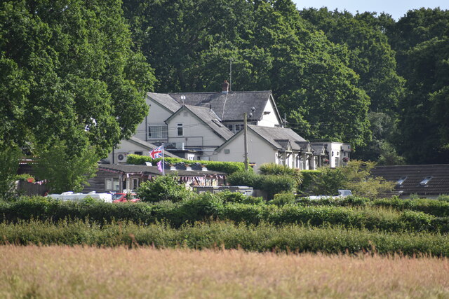
Appleslade Inclosure is a popular destination for nature enthusiasts, hikers, and families looking to enjoy a day out in nature. The peaceful atmosphere and tranquil surroundings make it an ideal spot for picnics, photography, or simply relaxing amidst the natural beauty.
Throughout the seasons, the inclosure offers a stunning display of colors. In spring, the forest floor is carpeted with bluebells and wildflowers, creating a vibrant and enchanting scene. Summer brings lush green foliage and the songs of birds, while autumn showcases a riot of red, orange, and gold leaves, making it a photographer's dream. Even in winter, the inclosure has its own unique charm, with frost-covered trees and a serene, peaceful ambiance.
Appleslade Inclosure is managed by the Forestry Commission, ensuring its preservation and conservation for future generations to enjoy. It is a true gem of Hampshire, offering a haven of natural beauty and tranquility amidst the hustle and bustle of modern life.
If you have any feedback on the listing, please let us know in the comments section below.
Appleslade Inclosure Images
Images are sourced within 2km of 50.879272/-1.7373179 or Grid Reference SU1808. Thanks to Geograph Open Source API. All images are credited.

Appleslade Inclosure is located at Grid Ref: SU1808 (Lat: 50.879272, Lng: -1.7373179)
Administrative County: Hampshire
District: New Forest
Police Authority: Hampshire
What 3 Words
///inferior.exploring.resonated. Near Ringwood, Hampshire
Nearby Locations
Related Wikis

Linwood, Hampshire
Linwood is a hamlet in the New Forest National Park of Hampshire, England. Its nearest town is Ringwood, which lies approximately 4.2 miles (5.9 km) south...

Ellingham, Harbridge and Ibsley
Ellingham, Harbridge and Ibsley is a civil parish in the west of the English county of Hampshire. The population of the civil parish at the 2011 Census...
Linford, Hampshire
Linford is a hamlet in the New Forest district of Hampshire, England, close to the market town of Ringwood. It is about 1.5 miles east of Ringwood. It...
Highwood, Hampshire
Highwood is a hamlet in the New Forest National Park of Hampshire, England. According to the Post Office the population of the hamlet at the 2011 Census...
Shobley
Shobley is a small hamlet in the New Forest National Park of Hampshire, England. Its nearest town is Ringwood, which lies approximately 1.8 miles (2.9...

South Gorley
South Gorley is a hamlet in the New Forest National Park of Hampshire, England. It is in the civil parish of Ellingham, Harbridge and Ibsley. Its nearest...

Moyles Court School
Moyles Court School is a private school located in Rockford, Hampshire, for children aged 2 to 16 years. Its Headmaster is Richard Milner-Smith. ��2�...
Mockbeggar, Hampshire
Mockbeggar is a hamlet in the New Forest National Park of Hampshire, England. Its nearest town is Ringwood, which lies approximately 3 miles (5.6 km) south...
Nearby Amenities
Located within 500m of 50.879272,-1.7373179Have you been to Appleslade Inclosure?
Leave your review of Appleslade Inclosure below (or comments, questions and feedback).