Cherpit Plantation
Wood, Forest in Derbyshire Derbyshire Dales
England
Cherpit Plantation
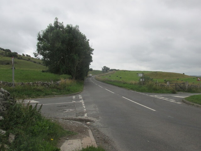
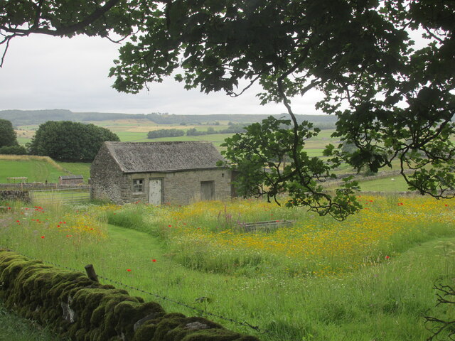
Cherpit Plantation, located in Derbyshire, England, is a picturesque woodland area known for its diverse range of flora and fauna. Situated in the heart of the Derbyshire Dales, the plantation covers a vast area of approximately 500 acres, making it an ideal destination for nature enthusiasts and hikers.
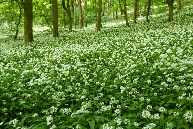
The woodland is primarily composed of a mix of deciduous and coniferous trees, creating a stunning tapestry of colors throughout the seasons. Beech, oak, and birch trees dominate the landscape, providing a habitat for various species of birds, mammals, and insects. The plantation is particularly renowned for its population of red deer, which can often be spotted grazing peacefully in the open meadows.
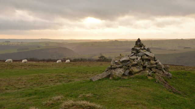
Cherpit Plantation offers visitors a wide range of recreational activities. Numerous walking trails wind through the woodland, allowing visitors to explore its beauty at their own pace. The trails vary in difficulty, catering to both casual strollers and avid hikers. Along the way, walkers can enjoy breathtaking views of the surrounding countryside, including rolling hills and picturesque valleys.
In addition to its natural beauty, Cherpit Plantation also provides educational opportunities. The plantation hosts workshops and guided tours, offering visitors the chance to learn about the local flora and fauna, as well as the history of the area. The knowledgeable staff are passionate about conservation and are dedicated to preserving the natural environment for future generations.
Overall, Cherpit Plantation in Derbyshire is a haven for nature lovers, offering a tranquil escape from the hustle and bustle of everyday life. Whether one chooses to explore the woodland on foot, learn about the local ecosystem, or simply relax amidst the serene surroundings, a visit to Cherpit Plantation is sure to leave a lasting impression.
If you have any feedback on the listing, please let us know in the comments section below.
Cherpit Plantation Images
Images are sourced within 2km of 53.252197/-1.723104 or Grid Reference SK1872. Thanks to Geograph Open Source API. All images are credited.


Cherpit Plantation is located at Grid Ref: SK1872 (Lat: 53.252197, Lng: -1.723104)
Administrative County: Derbyshire
District: Derbyshire Dales
Police Authority: Derbyshire
What 3 Words
///whimpered.sounding.durations. Near Tideswell, Derbyshire
Nearby Locations
Related Wikis

Monsal Dale
Monsal Dale is a valley in Derbyshire, England, in the White Peak limestone area of the Peak District National Park. It is a Site of Special Scientific...
Monsal Trail
The Monsal Trail is a cycling, horse riding and walking trail in the Derbyshire Peak District. It was constructed from a section of the former Manchester...
Little Longstone
Little Longstone is a village and civil parish in Derbyshire, England. The village is on a minor road west of Great Longstone, just off the B6465 road...

Monsal Dale railway station
Monsal Dale railway station was opened in 1866 by the Midland Railway on its line from Rowsley, extending the Manchester, Buxton, Matlock and Midlands...

Great Longstone War Memorial
Great Longstone War Memorial is a 20th-century grade II listed war memorial in Great Longstone, Derbyshire. == History == The war memorial was unveiled...

Cressbrook Dale
Cressbrook Dale (also called Ravensdale) is a dry carboniferous limestone gorge near Bakewell, Derbyshire, in the Peak District of England. The dale is...

Cressbrook
Cressbrook is a village in the Peak District National Park in Derbyshire. It lies in Water-cum-Jolly Dale at the foot of Cressbrook Dale. Population details...

Wardlow, Derbyshire
Wardlow is a parish and linear village in the Derbyshire Dales two miles from Tideswell, Derbyshire, England. The population at the 2011 census was 118...
Nearby Amenities
Located within 500m of 53.252197,-1.723104Have you been to Cherpit Plantation?
Leave your review of Cherpit Plantation below (or comments, questions and feedback).