Abbey Wood
Wood, Forest in Yorkshire Richmondshire
England
Abbey Wood
Abbey Wood, Yorkshire is a picturesque village situated in the county of Yorkshire, England. Known for its idyllic setting, Abbey Wood is surrounded by lush greenery and is characterized by its dense forests and woodlands. The village is located near the city of Leeds and is easily accessible by road and public transportation.
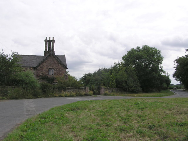
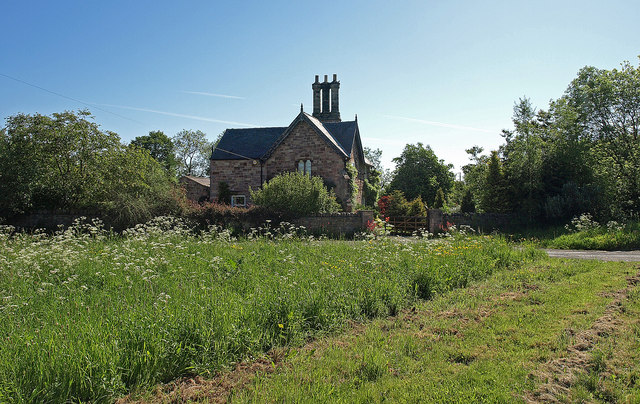
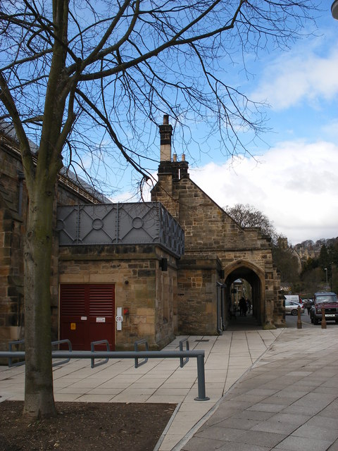
The name "Abbey Wood" derives from the presence of an ancient monastic site that once stood in the area. The remnants of the abbey can still be seen today, adding a historical element to the village's charm. The village is also home to several other notable landmarks, including a medieval church that showcases exquisite architectural craftsmanship.
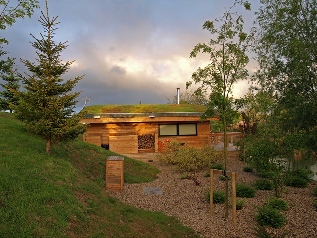
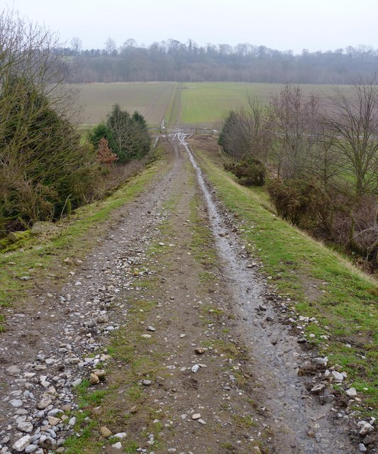
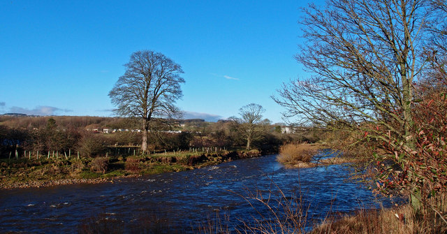
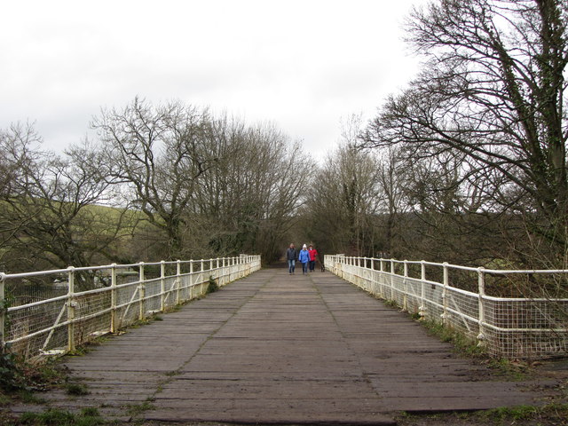
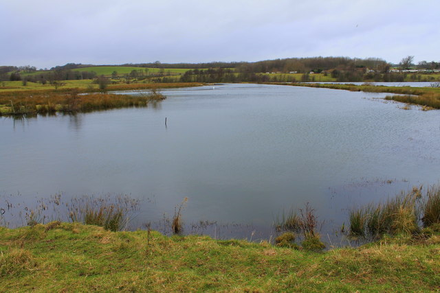
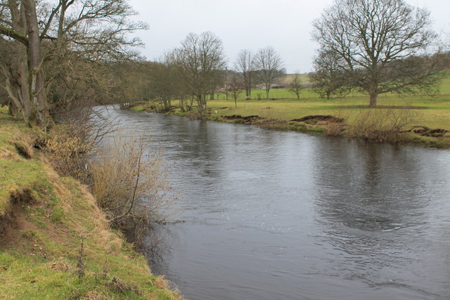
Nature lovers are drawn to Abbey Wood for its abundant natural beauty. The village is enveloped by a dense forest, offering numerous trails and pathways for hiking and exploring. The woodland is home to a diverse range of flora and fauna, providing a haven for birdwatchers and wildlife enthusiasts.
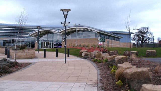
Abbey Wood is a close-knit community, with a small population that values its rural lifestyle. The village boasts a warm and welcoming atmosphere, with friendly locals who are proud of their heritage. Visitors can experience traditional Yorkshire hospitality by exploring the local pubs and eateries that serve hearty, home-cooked meals.
In summary, Abbey Wood, Yorkshire is a charming village that encapsulates the beauty of the English countryside. With its ancient abbey ruins, lush forests, and warm community spirit, it offers a tranquil retreat for those seeking a peaceful escape from city life.
If you have any feedback on the listing, please let us know in the comments section below.
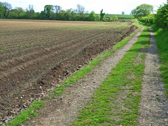
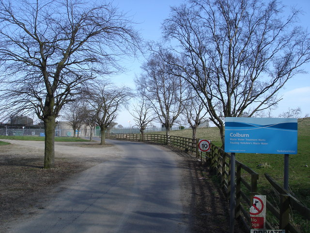
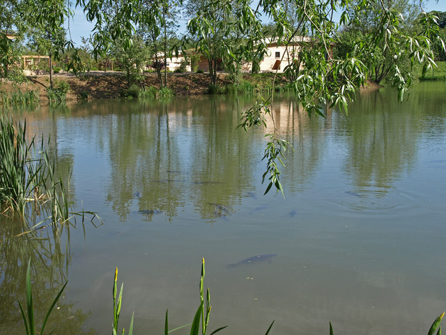
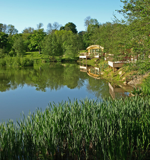
Abbey Wood Images
Images are sourced within 2km of 54.392993/-1.7155168 or Grid Reference SE1899. Thanks to Geograph Open Source API. All images are credited.

Abbey Wood is located at Grid Ref: SE1899 (Lat: 54.392993, Lng: -1.7155168)
Division: North Riding
Administrative County: North Yorkshire
District: Richmondshire
Police Authority: North Yorkshire
What 3 Words
///fees.folks.operation. Near Richmond, North Yorkshire
Nearby Locations
Related Wikis
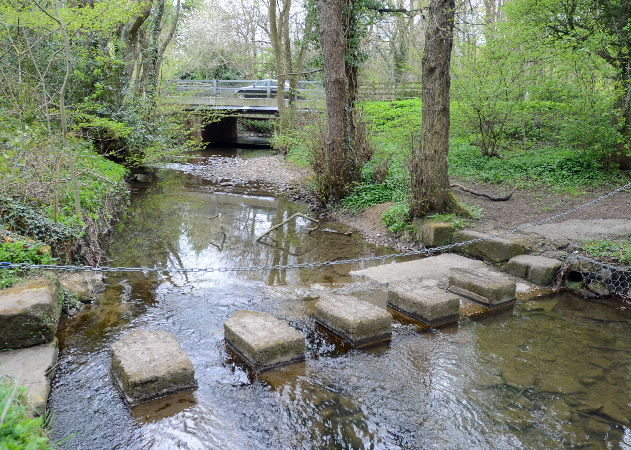
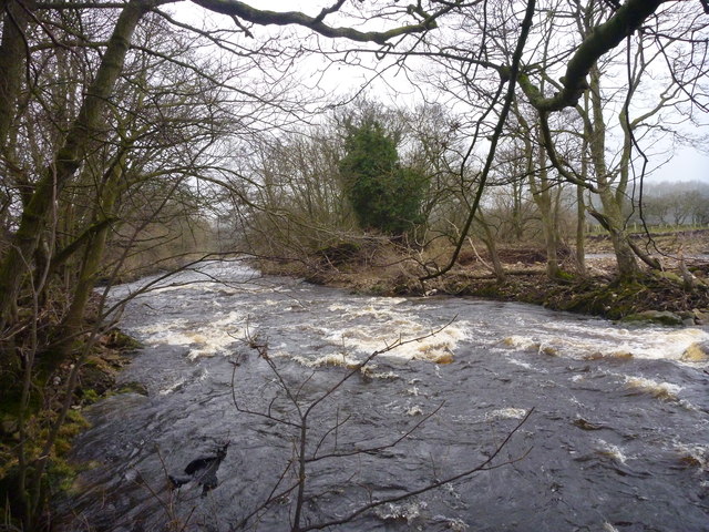
Risedale Beck
Risedale Beck is a small river that rises on Hipswell Moor, near Catterick Garrison in North Yorkshire, England. The name derives from Old Norse as meaning...

Easby Cross
The Easby Cross is an Anglo-Saxon sandstone standing cross from 800–820, now in the Victoria and Albert Museum, London. It originally came from Easby...
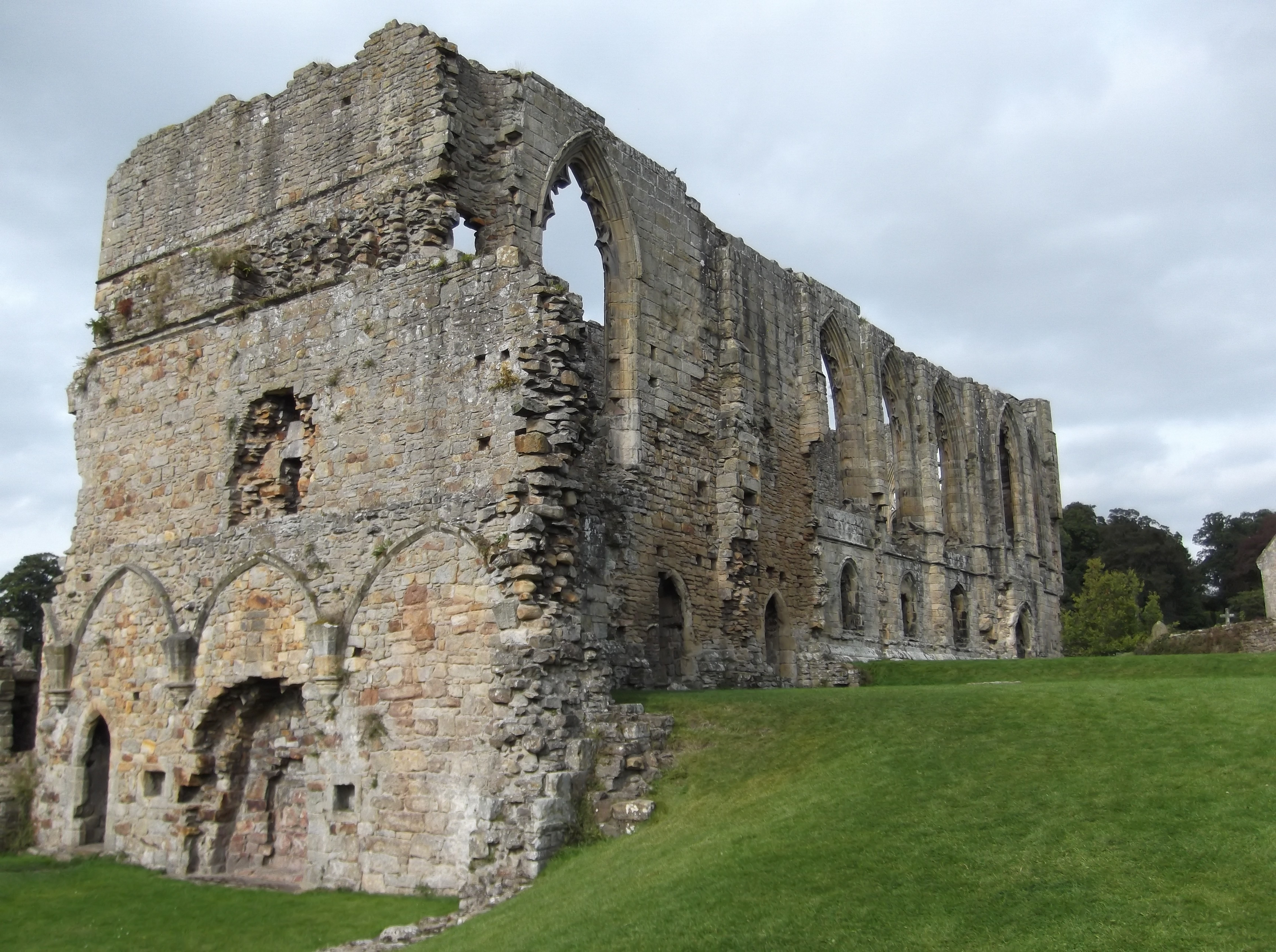
Easby Abbey
Easby Abbey, or the Abbey of St Agatha, is a ruined Premonstratensian abbey on the eastern bank of the River Swale on the outskirts of Richmond in the...
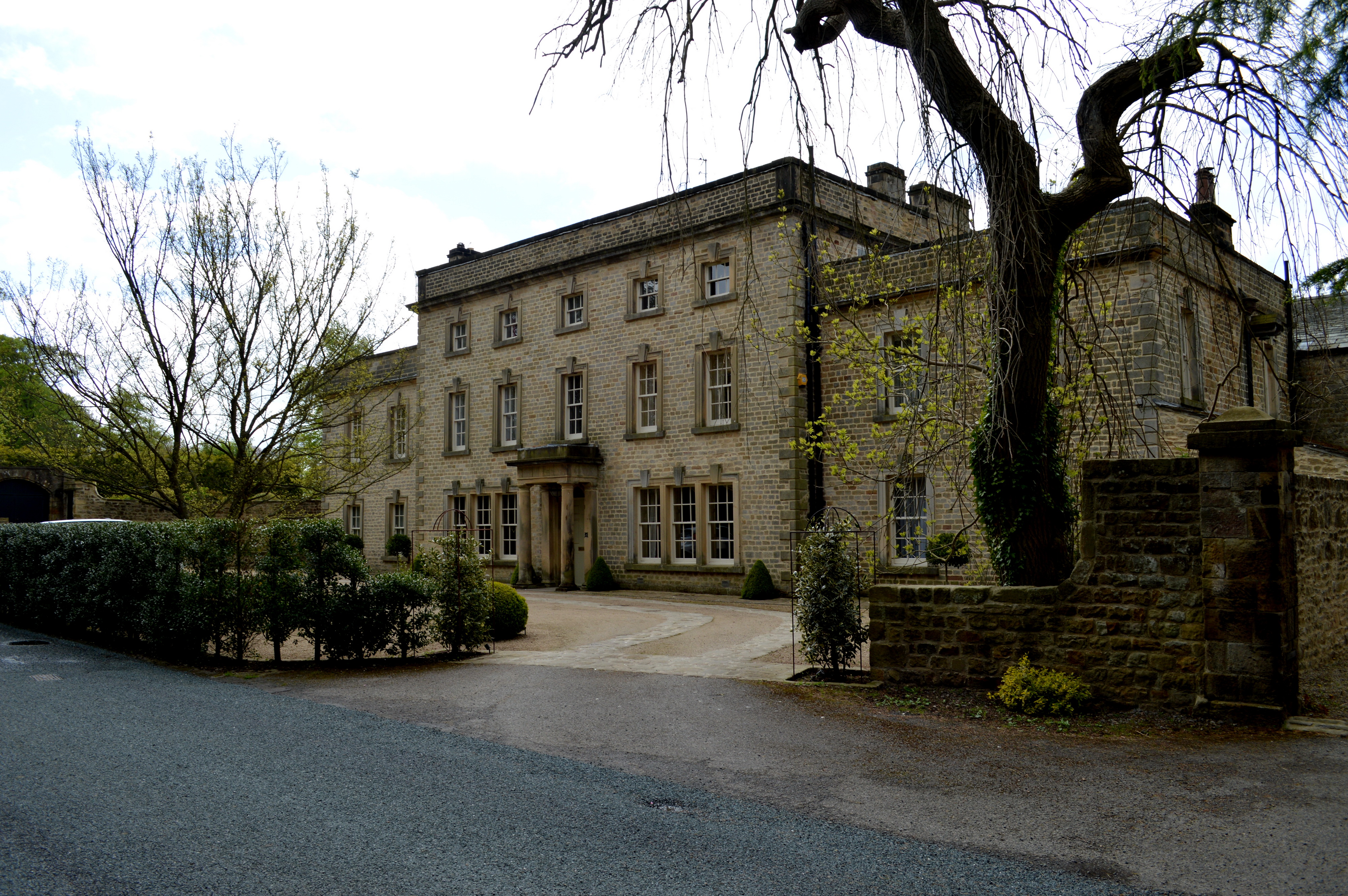
Easby Hall, Richmond
Easby Hall near Richmond in North Yorkshire, England is a building of historical significance and is listed on the English Heritage Register. Built in...

Easby, Richmondshire
Easby is a hamlet and civil parish in the Richmondshire district of North Yorkshire, England. It is situated near Richmond on the banks of the River Swale...

St Martin's, North Yorkshire
St Martin's is a civil parish in North Yorkshire, England. It is located south of the town of Richmond, covering the residential areas south of the River...

St. Martin's Priory, Richmond
St. Martin's Priory, Richmond was a medieval monastic house in North Yorkshire, England. It was a Benedictine house, founded about 1100, originally for...
Richmond railway station (North Yorkshire)
Richmond railway station was a railway station that served the town of Richmond in North Yorkshire, England. The station was the terminus of a branch line...
Nearby Amenities
Located within 500m of 54.392993,-1.7155168Have you been to Abbey Wood?
Leave your review of Abbey Wood below (or comments, questions and feedback).