Rough Wood
Wood, Forest in Derbyshire High Peak
England
Rough Wood
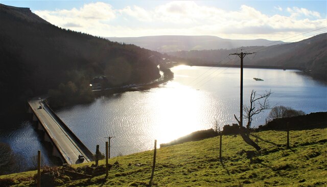
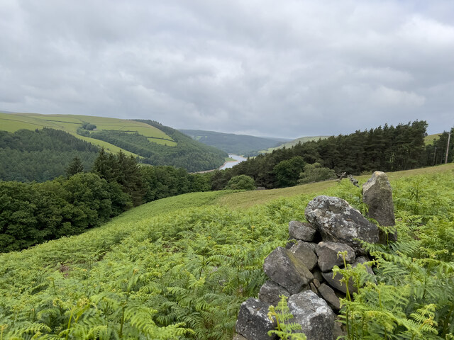
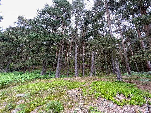
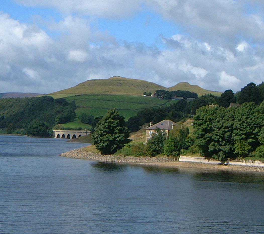
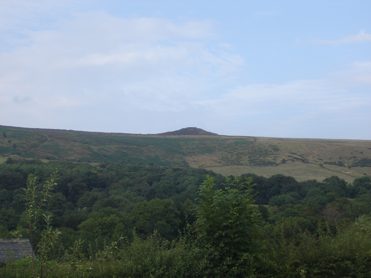
Rough Wood is a small forested area located in Derbyshire, England. Situated near the village of Wood, this woodland covers an approximate area of 50 acres. The forest is characterized by a variety of tree species, including oak, birch, and beech, which create a rich and diverse ecosystem.
The woodland is well-known for its dense canopy, which provides shelter and habitat for a wide range of flora and fauna. It is a popular destination for nature enthusiasts, hikers, and bird watchers, as it offers a tranquil and peaceful environment. The forest floor is covered with a thick carpet of moss and ferns, creating a picturesque landscape.
Rough Wood is intersected by several walking trails, allowing visitors to explore its natural beauty. These pathways lead through the heart of the forest, offering glimpses of wildlife such as deer, squirrels, and various bird species. There are also designated picnic areas, providing a perfect spot for visitors to enjoy a packed lunch amidst nature.
The forest is managed by the local authorities to ensure its preservation and sustainability. Conservation efforts are in place to protect the delicate balance of the ecosystem and maintain the natural beauty of the woodland. Additionally, education programs and guided tours are offered to raise awareness about the importance of preserving the forest and its biodiversity.
Overall, Rough Wood in Derbyshire is a cherished natural gem, offering a peaceful retreat for those seeking solace in nature. Its lush vegetation, diverse wildlife, and well-maintained trails make it an ideal destination for outdoor enthusiasts and nature lovers alike.
If you have any feedback on the listing, please let us know in the comments section below.
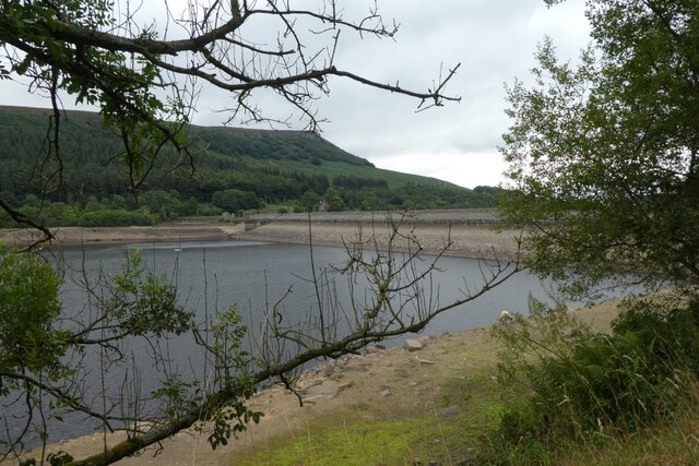
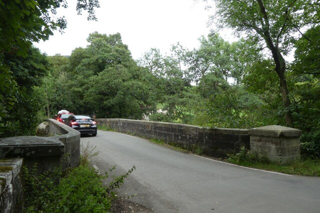
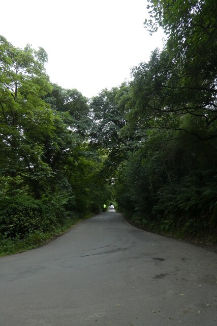
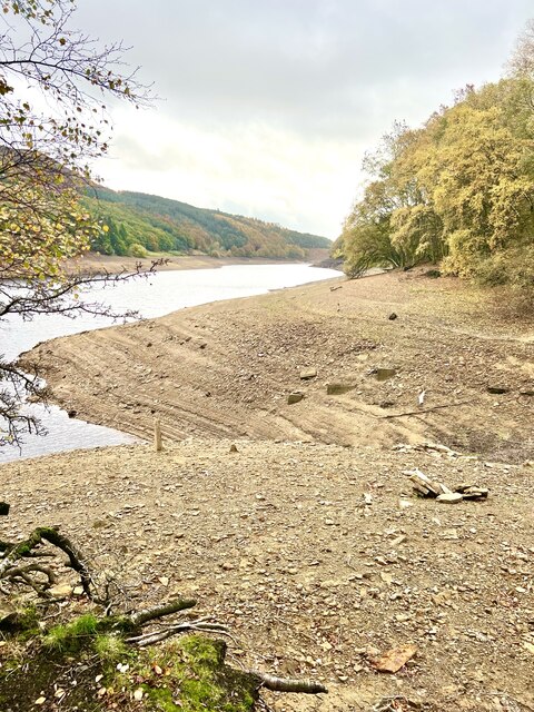
Rough Wood Images
Images are sourced within 2km of 53.374666/-1.7224313 or Grid Reference SK1886. Thanks to Geograph Open Source API. All images are credited.


Rough Wood is located at Grid Ref: SK1886 (Lat: 53.374666, Lng: -1.7224313)
Administrative County: Derbyshire
District: High Peak
Police Authority: Derbyshire
What 3 Words
///asteroid.alienated.oath. Near Hope Valley, Derbyshire
Nearby Locations
Related Wikis
Crook Hill
Crook Hill is a small hill in the Peak District National Park in the English county of Derbyshire, 5 kilometres (3.1 mi) northeast of Castleton. ��2�...

Derwent, Derbyshire
Derwent was a village 'drowned' in 1944 when the Ladybower Reservoir in Derbyshire, England was created. The village of Ashopton, Derwent Woodlands church...

River Ashop
The River Ashop is a river in the Derbyshire Peak District, England. Its source is on the eastern slopes of Mill Hill, three miles south east of Glossop...

Ashopton
Ashopton was a small village in Derbyshire, England, in the valley of the River Ashop. The village population was less than 100. Details are included in...

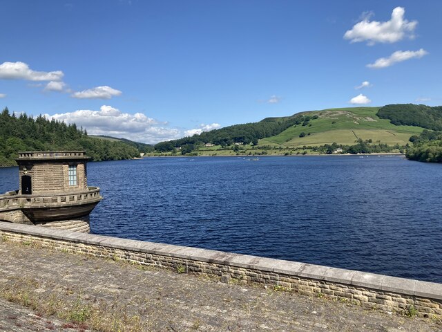
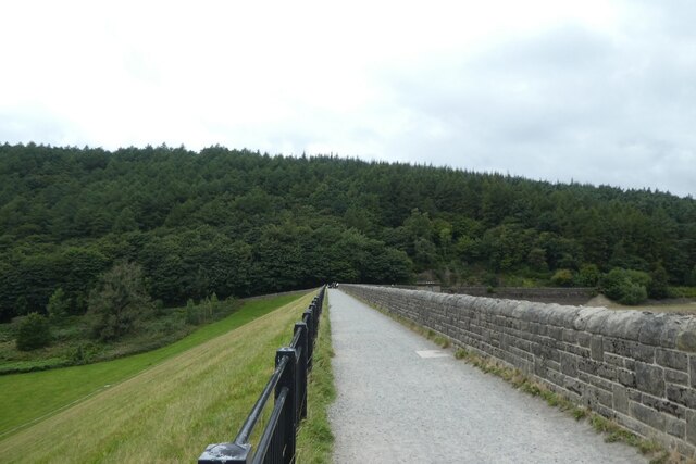
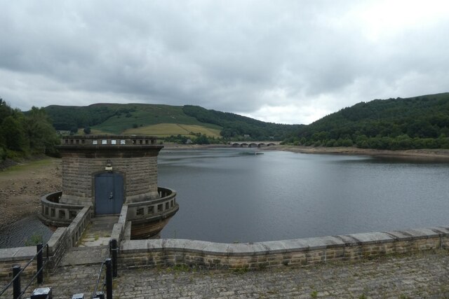
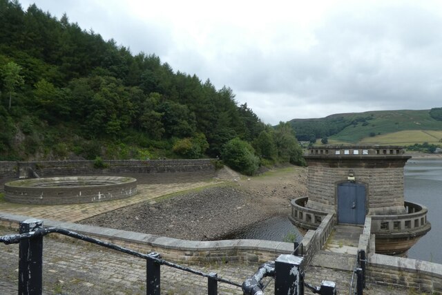
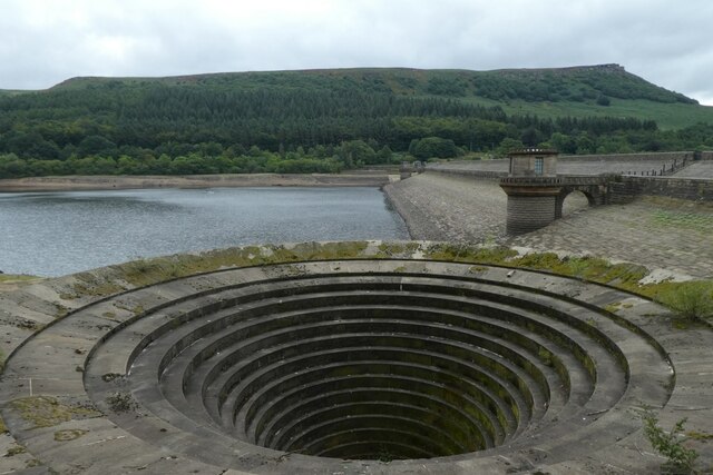
Ladybower Reservoir
Ladybower Reservoir is a large Y-shaped, artificial reservoir, the lowest of three in the Upper Derwent Valley in Derbyshire, England. The River Ashop...

Birchinlee
Birchinlee is the site of "Tin Town", a village built by the Derwent Valley Water Board for the workers (and their families) who constructed the Derwent...
Win Hill
Win Hill is a hill north west of Bamford in the Derbyshire Peak District of England. Its summit is 462 m (1,516 ft) above sea level and it is bounded...

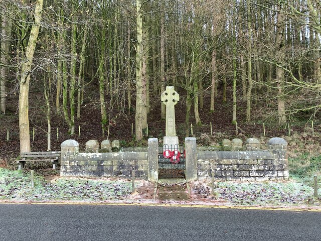
Derwent Woodlands War Memorial
Derwent Woodlands War Memorial is a 20th-century grade II listed war memorial near the Ladybower Reservoir, Derbyshire. == History == The war memorial...
Related Videos
DERWENT EDGE - The BEST HIKING views in the PEAK DISTRICT?
In this episode, Hay and Kyle take you on a tour of Derwent Edge and the incredible sights and sounds that are to be had there.
![Hiking Derwent Edge in the Peak District [Adventure vlog 006]](https://i.ytimg.com/vi/ENE5zN9-KsU/hqdefault.jpg)
Hiking Derwent Edge in the Peak District [Adventure vlog 006]
A few weeks ago I went hiking in the Peak District along Derwent Edge, which sits above the Ladybower Reservoir in Derbyshire.
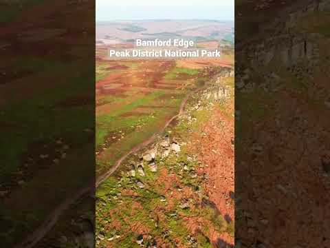
Beautiful Day | Peak District | Bamford Edge | Solo Hiking
Bamford Edge - Ladybower Reservoir - Peak District National Park - Hope Valley | Solo Hiking | Mavic Air 2S Get the same gear ...
Peak District - Bamford Edge - Mavic Air 2S | Solo Hiking
Bamford Edge - Peak District National Park - Hope Valley | Solo Hiking | Mavic Air 2S Get the same gear as me for shooting vlogs: ...
Nearby Amenities
Located within 500m of 53.374666,-1.7224313Have you been to Rough Wood?
Leave your review of Rough Wood below (or comments, questions and feedback).